Trail Overview
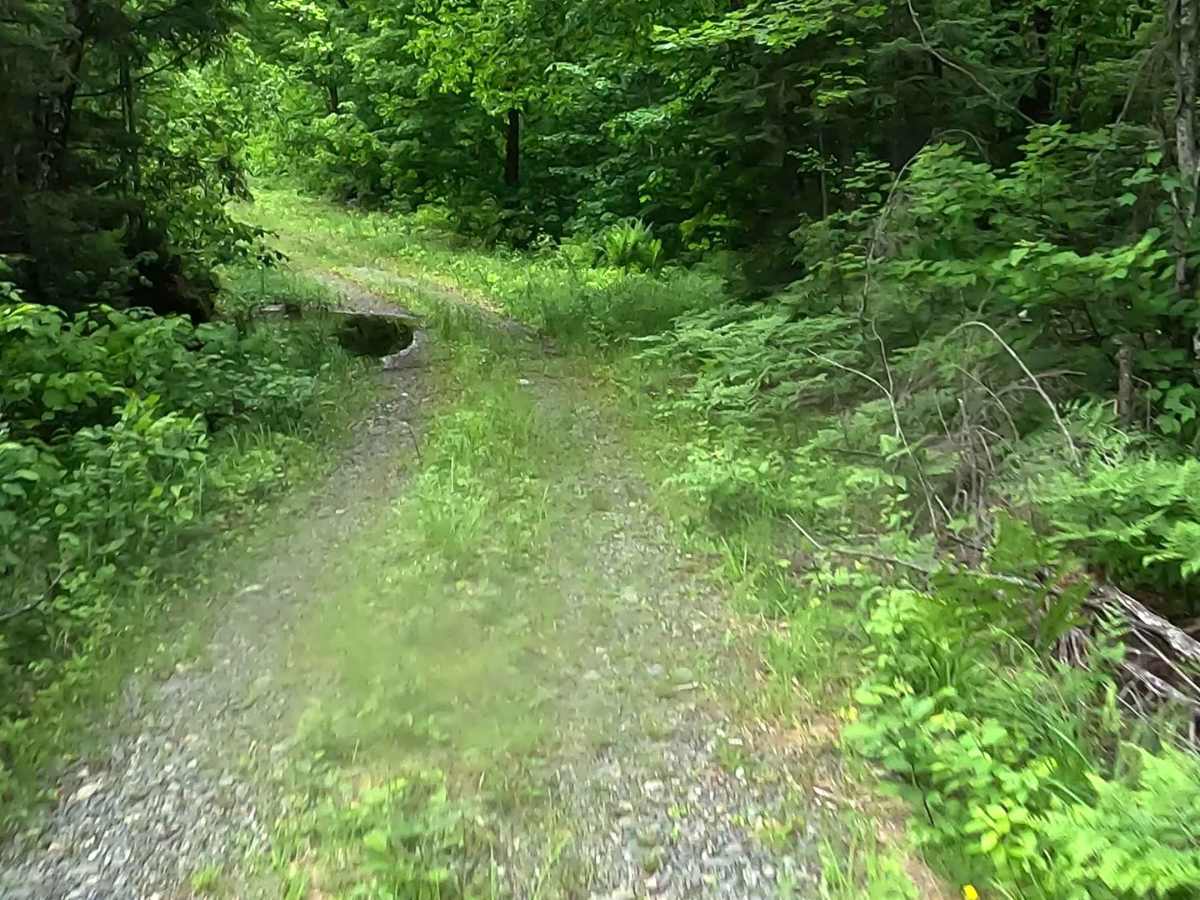
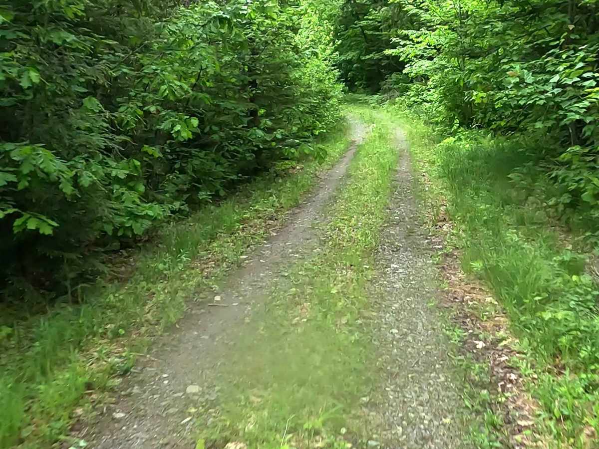
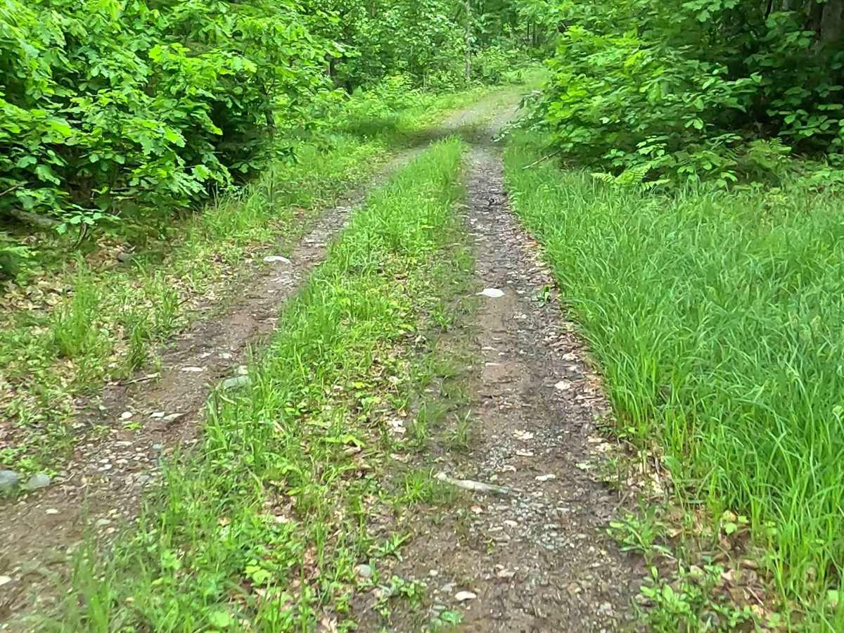
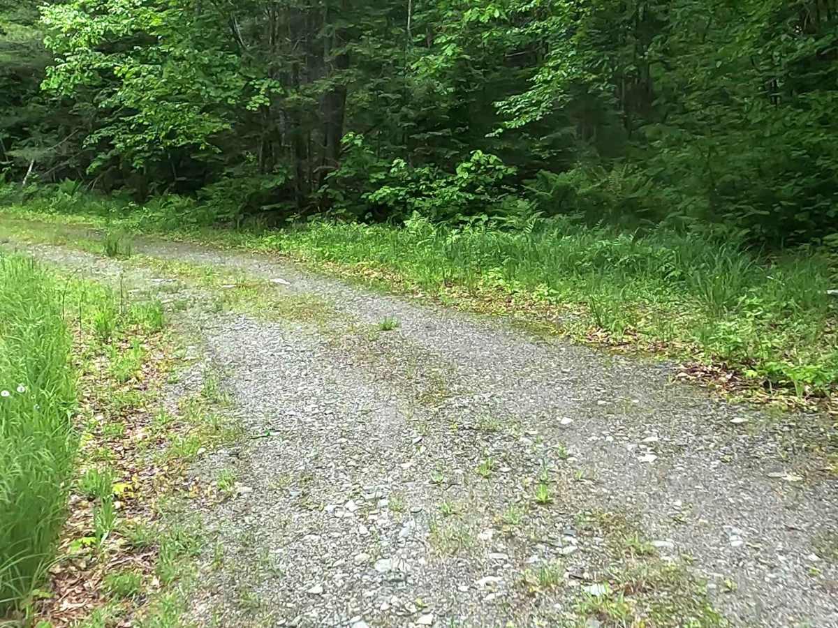
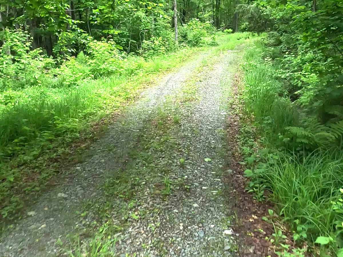
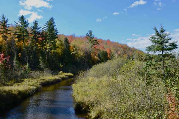
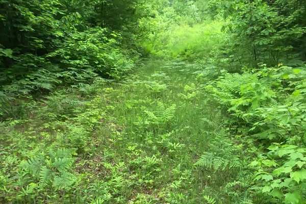
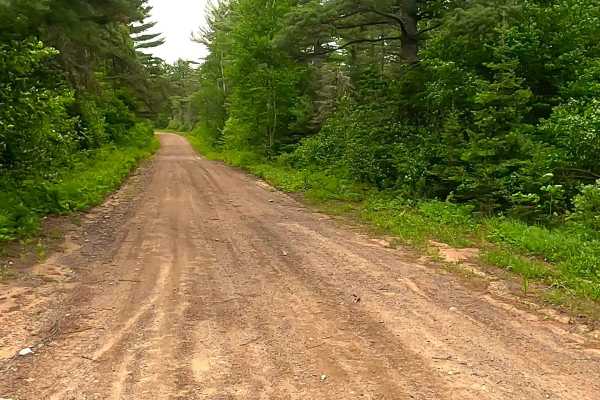
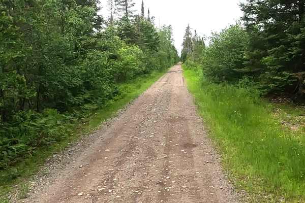
Wolf Lake Road Spur is a state owned/ locally maintained, Level-2/ Level-3, forest access route with a surface composition of grass, dirt, sand, and native material (ex: leaves, pine needles, pine cones, sticks, branches). As a spur off of County Road FX, also known as Wolf Lake Road, this route traverses south of Brocky Lake and along the east bank of the Klippel Creek within the Humboldt Wetlands of the Huron Mountain Range.
Difficulty
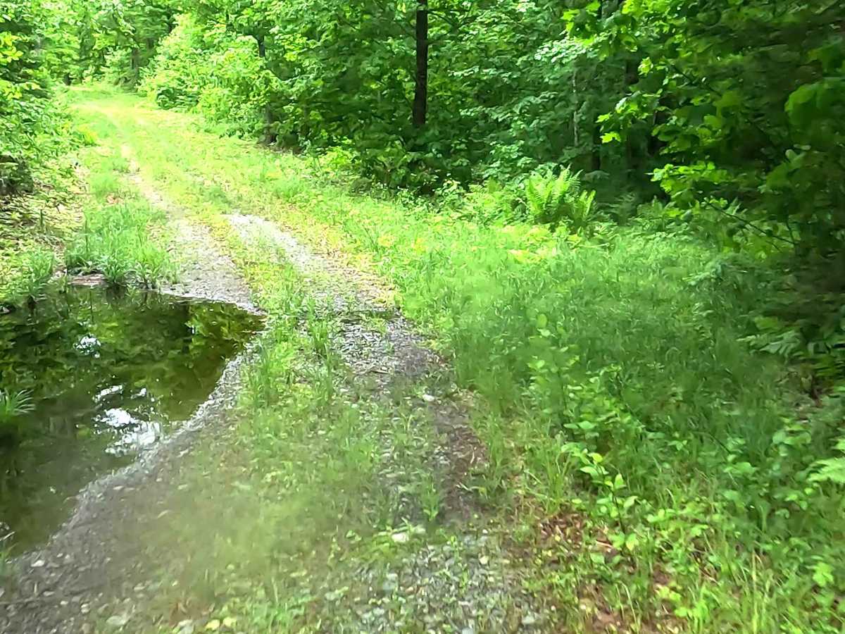
Sand, dirt, gravel route typically unmaintained after rain or snow that may give rise to water crossings < 12” and obstacles such as tree/ tree branches.
History
Wolf Lake is a 124-acre body of water located about six miles northeast of the unincorporated community of Champion. Deep in the forested and historical iron-mining country of the Upper Peninsula, its local history is closely tied to regional logging, natural resource mapping, and remote backcountry access via roads like Wolf Lake Road and Dishno Road.