Off-Road Vehicle Route CL - Clowry Grade

Total Miles6.3
Technical Rating
2Easy
Best TimeSpring, Summer, Fall
Trail TypeFull-Width Road
Accessible By
Open Trail Map

Trail Overview

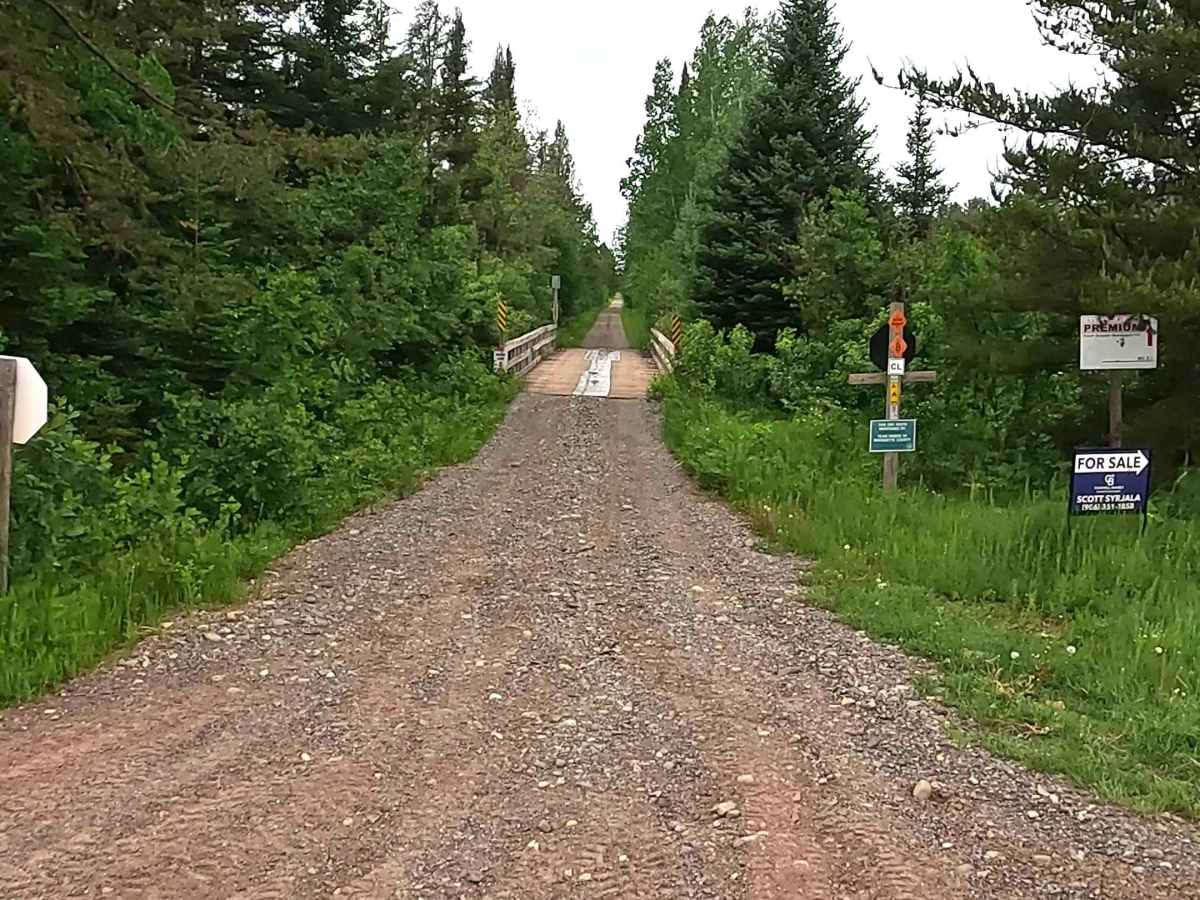
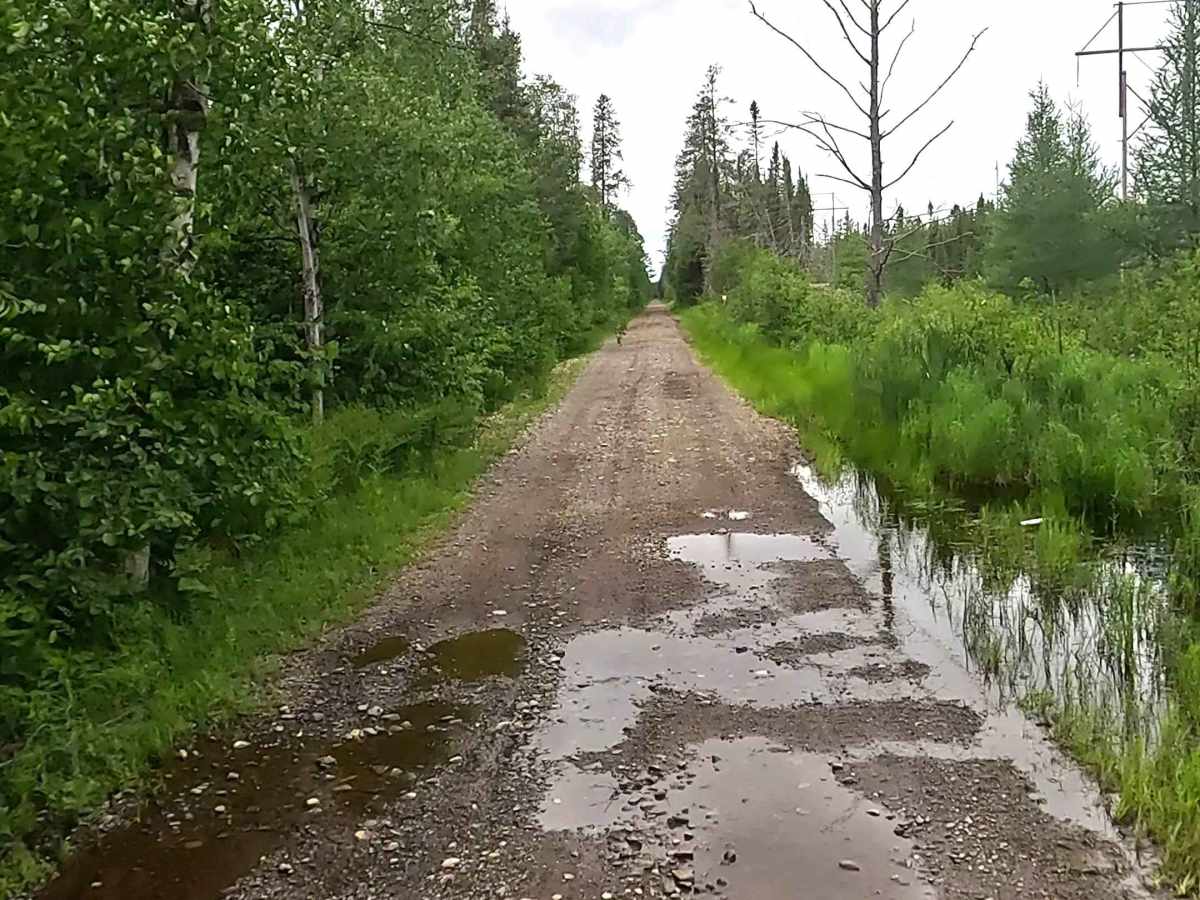
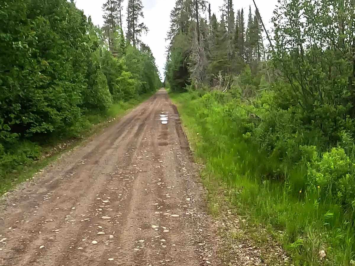
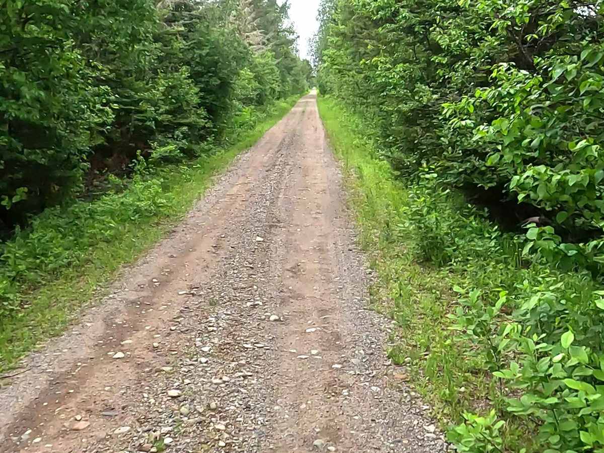
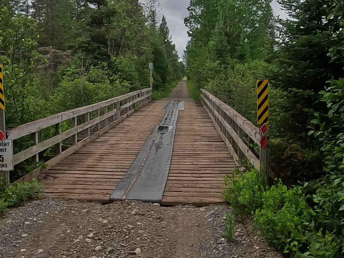
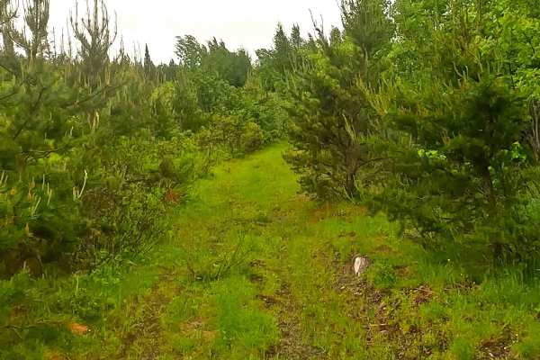
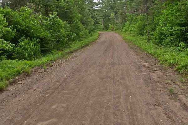
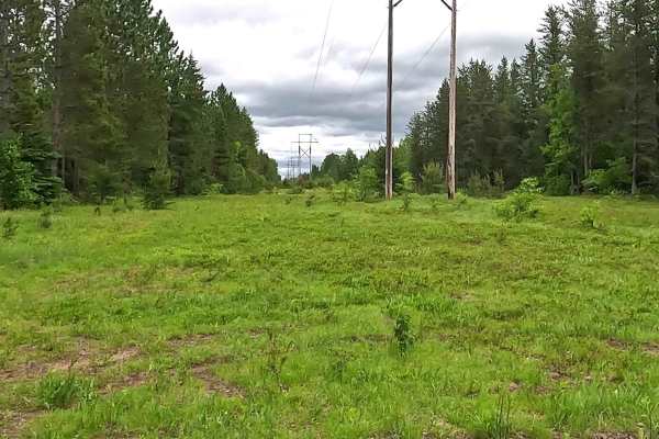
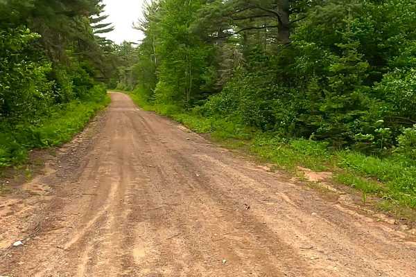
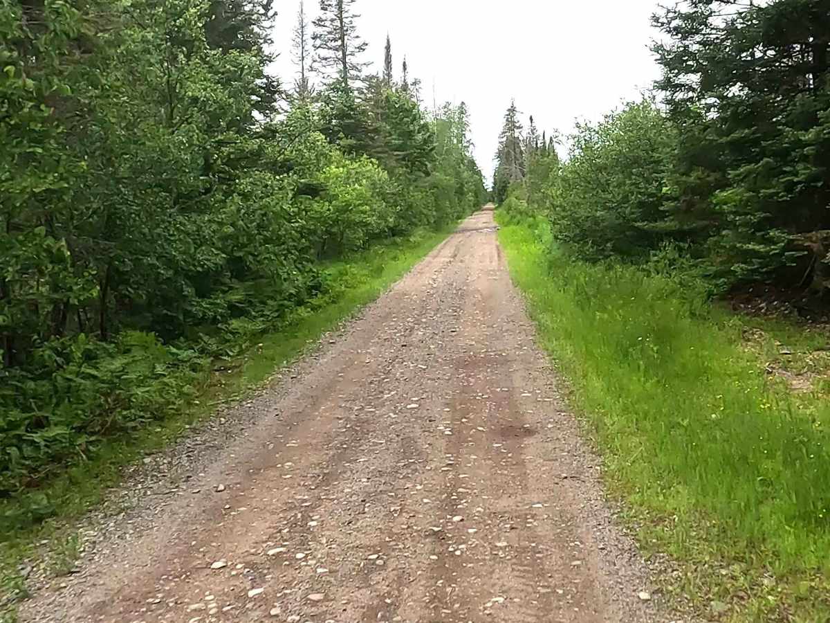
Off-Road Vehicle Route CL, also known as Clowry Grade, portion of the Upper Peninsula's multi-segmented Off-Road Vehicle Route C and is a designated ATV/ off-road Motorcycle trail offering a mixture of sandy soil, rocks, and hard-packed dirt through heavily wooded forests. The trail is known to be sandy as well as rocky in several portions, as it offers connection to the broader Michigan Department of Natural Resources Off-Road Vehicle Route C trail system. A valid Off-Road Vehicle license and trail permit are required. *Note: Please observe Off-Road Vehicle route seasonal restrictions or an off-road vehicle type restriction. Multiple restrictions may apply on the same trail. Description created on June 14, 2026.

Photos of Off-Road Vehicle Route CL - Clowry Grade

Difficulty

Gravel, dirt, sand route typically unmaintained after rain or snow that may give rise to water crossings < 12 inches and obstacles such as downed tree branches.

History

The Clowry Grade is a historic railroad grade that was tied to the Upper Peninsula's late-19th and early-20th-century iron mining and lumber boom. Named as a stop on the Chicago and North Western (C&NW) railway network, it featured operational infrastructure like a water tank built in 1916 and a day-shift agent-operator to manage heavy regional freight and traffic.

Technical Rating

2

Off-Road Vehicle Route CL - Clowry Grade Trail can be accessed by the following ride types:

  • Single Track
  • 50 Inch
  • 60 Inch
  • High Clearance
  • Full Width

Off-Road Vehicle Route CL - Clowry Grade Map

The onX Offroad Difference

onX Offroad combines trail photos, descriptions, difficulty ratings, width restrictions, seasonality, and more in a user-friendly interface. Available on all devices, with offline access and full compatibility with CarPlay and Android Auto. Discover what you're missing today!

Open Trail Map