Trail Overview
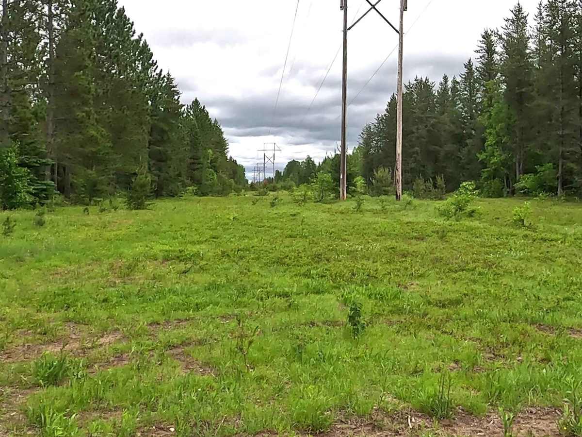
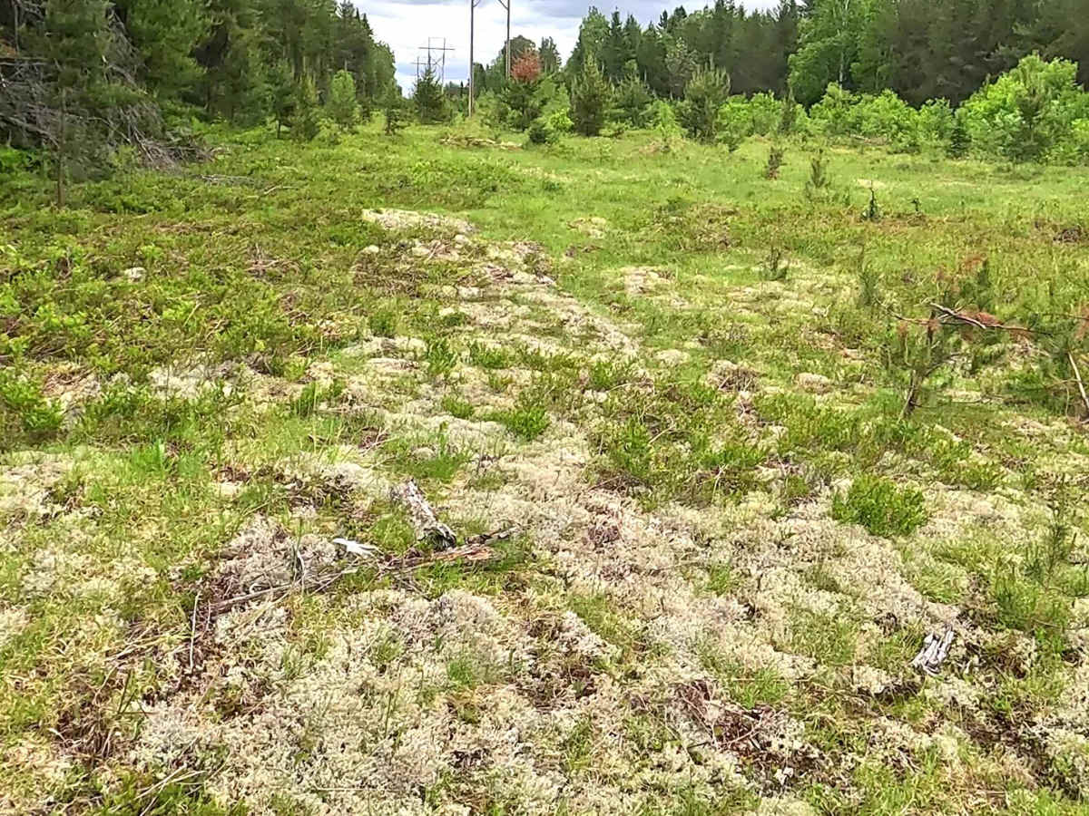
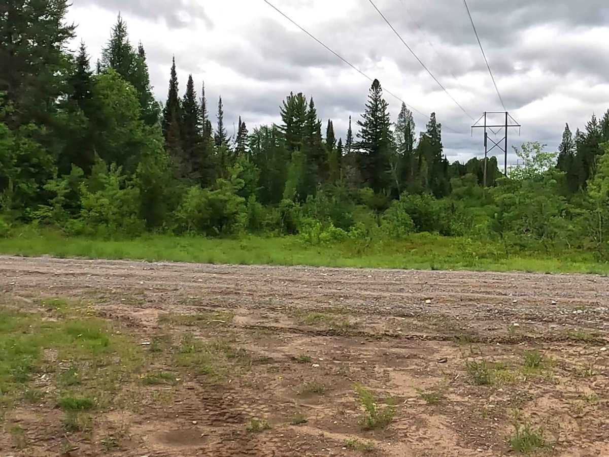
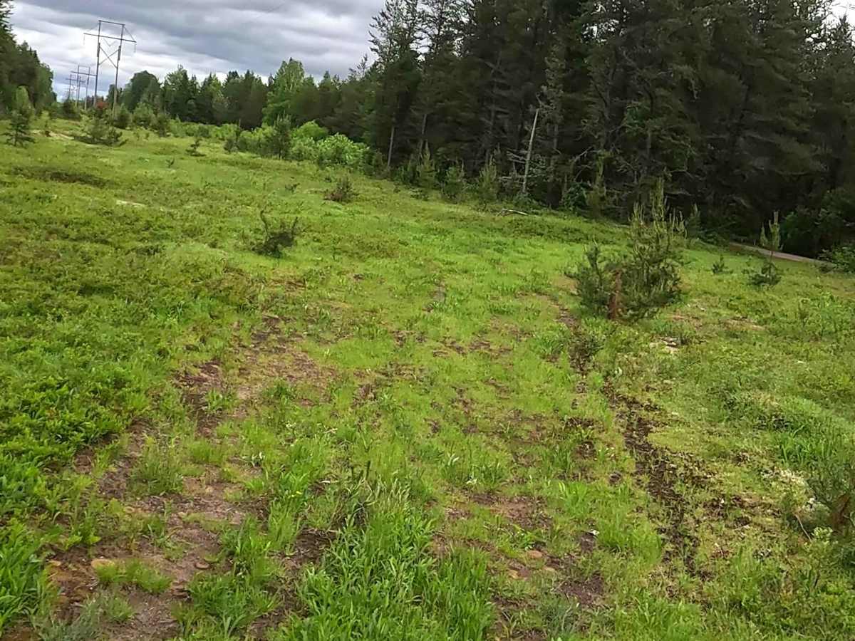
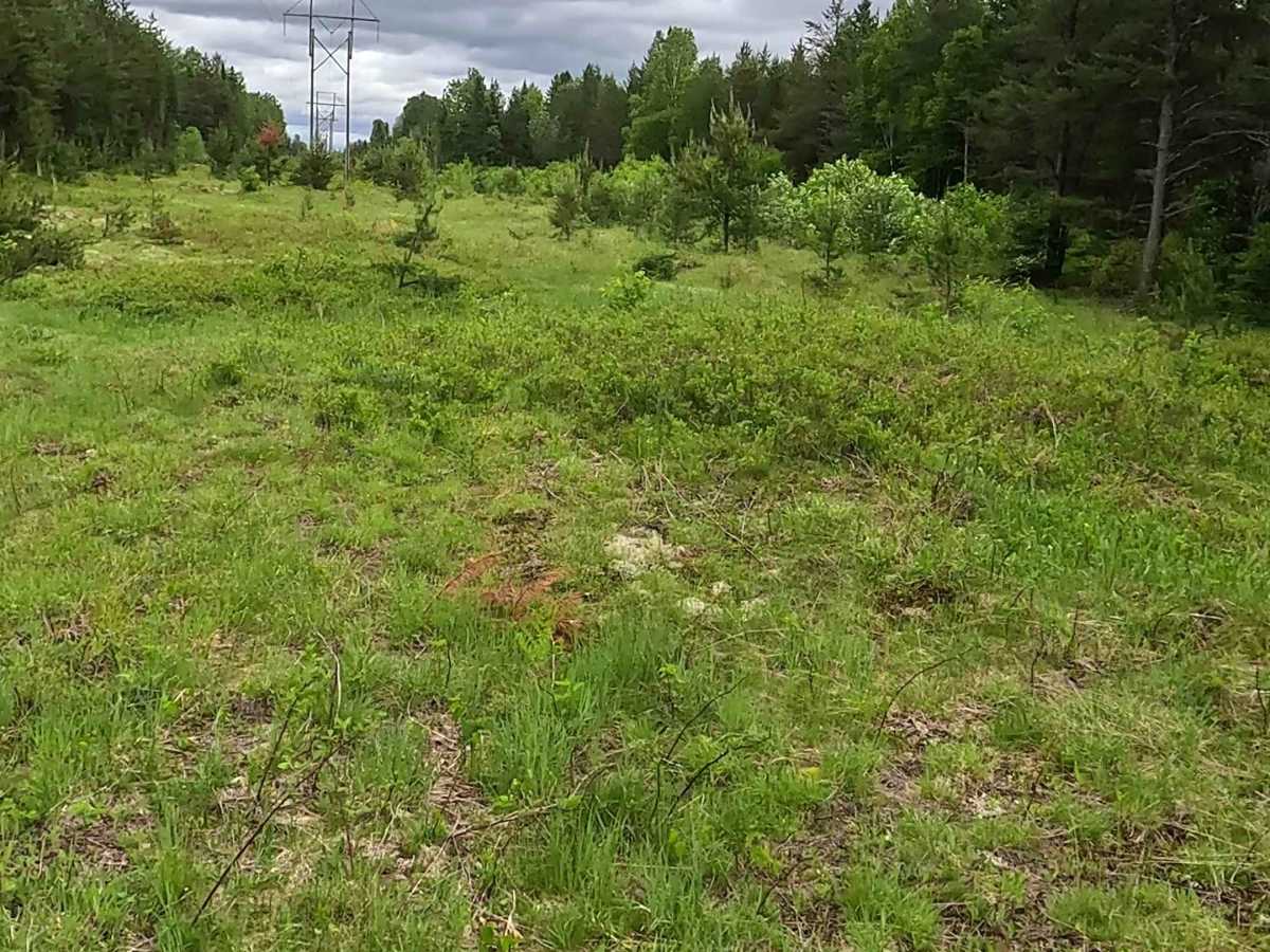
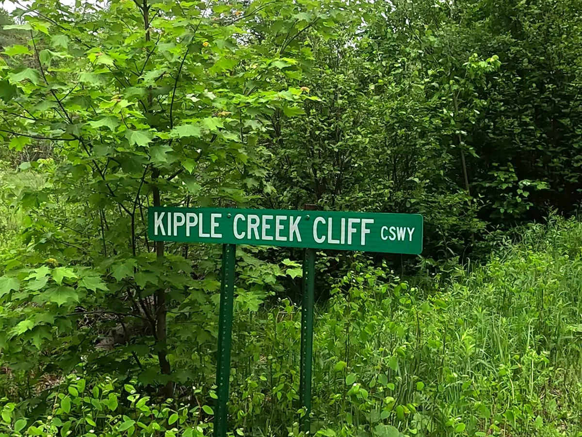
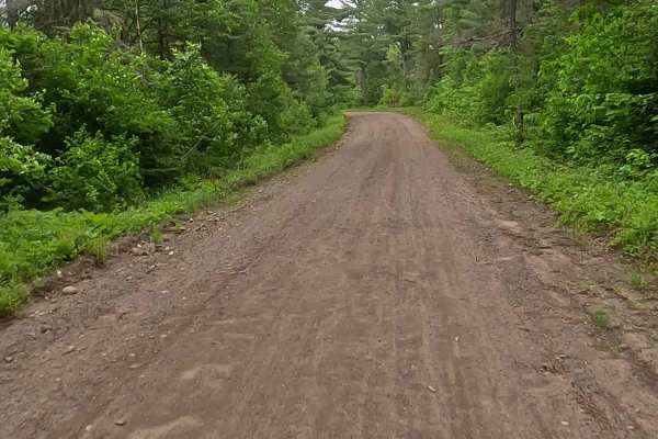
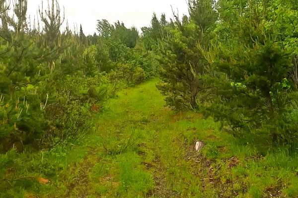
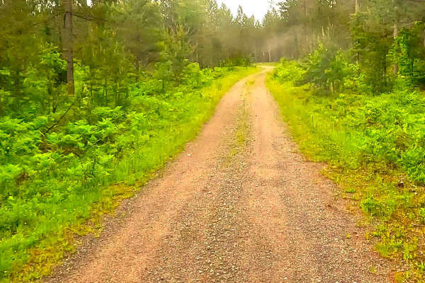
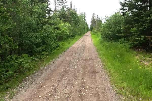
The Peshekee to Clowry Trail runs parallel to and interchanges with the Off-Road Vehicle Route CL- Clowry Grade portion of the Upper Peninsula's multi-segmented Off-Road Vehicle Route C. A designated ATV/ off-road Motorcycle trail offering a mixture of sandy soil, rocks, and hard-packed dirt through heavily wooded forests. This trail is a difficult path to traverse due to dense grass, moss, lichen, and marshland. A valid off-road vehicle license and trail permit are required. *Note: Please observe off-road vehicle route seasonal restrictions or an off-road vehicle type restriction. Multiple restrictions may apply on the same trail. Description created on June 14, 2026.
Difficulty
Heavily overgrown, dense grass, moss, lecithin and marshland. Wetland and obstacles up to 3 feet tall, including marsh, standing water and deep mud.
History
The Clowry Grade is a historic railroad grade that was tied to the Upper Peninsula's late-19th and early-20th-century iron mining and lumber boom. Named as a stop on the Chicago and North Western (C&NW) railway network, it featured operational infrastructure like a water tank built in 1916 and a day-shift agent-operator to manage heavy regional freight and traffic.