
Dirt Bike Trails
Near Iron Gate, Virginia
Explore All Dirt Bike Trails Near Iron Gate, Virginia
Dirt Bike Trails Near Iron Gate, Virginia
Discover the best dirt bike trails near you. Browse trail maps, check difficulty ratings, and find your next adventure — whether you're looking for a quick ride or an all-day expedition.
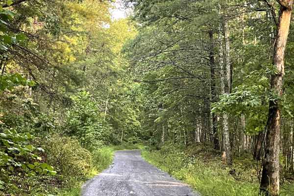
Tri County
This trail offers a peaceful traverse along a well-maintained, hard-packed, two-lane gravel road. The route offers a relaxing opportunity to explore the Virginia countryside and enjoy the area's rural scenery. One of the highlights along this trail is the opportunity to view a Virginia Century Farm,...
Learn more about Tri County
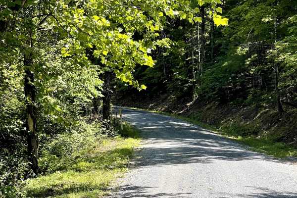
Chatham Road
Chatham Road is a well-maintained county gravel road that can be accessed from either end directly off Highway 220. This route provides a nice reprieve from paved roads and offers users an opportunity to slow down and enjoy the surrounding countryside. The trail winds through open pastureland, provi...
Learn more about Chatham Road
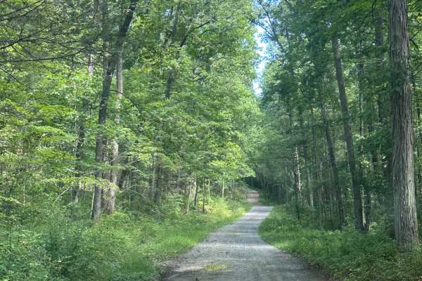
Dolly Anne North
This is a scenic route through George Washington National Forest, offering many dispersed camping options as well as great views of the surrounding mountain ranges. The route is mainly gravel, with a few small ruts as well as steep inclines and declines. There is no cell service on this trail or in ...
Learn more about Dolly Anne North
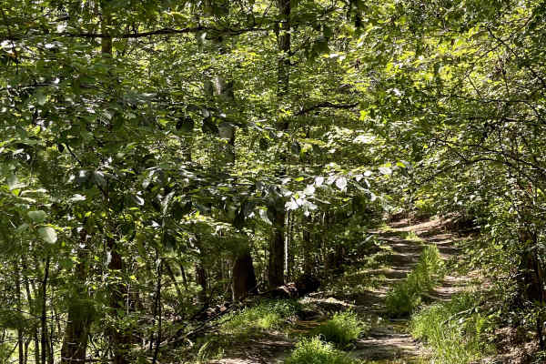
FS 354A
FS 354 A is a separate trail from FS 354 and offers a short out-and-back route through the forest. The trail eventually concludes at a closed Forest Service gate located alongside high-tensile power lines. Near the gate, users will find access to local hiking trails, along with a posted trail map th...
Learn more about FS 354A
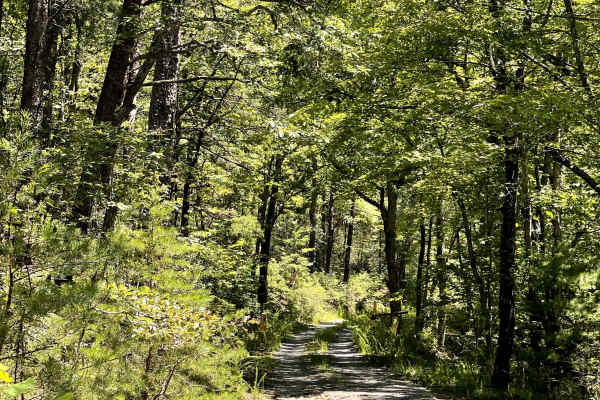
FS 354
FS 354 is a gravel two-track trail that provides a peaceful out-and-back route through the surrounding forest. The trail eventually ends at a closed Forest Service gate, marking the end of vehicle access. At the end of the route, users will find a large turnaround area that appears to have been used...
Learn more about FS 354
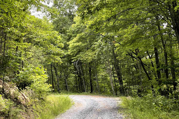
FS 3079
FS 3079 is a freshly graveled Forest Service road accessed from Blue Grass Trail. The trail begins with a steep incline, and the climb remains fairly consistent as users make their way toward the summit. Despite the sustained elevation gain, the route is free of major obstacles and provides a straig...
Learn more about FS 3079
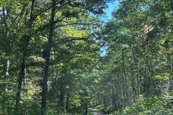
Dolly Anne South
This is a beautiful scenic route through George Washington National Forest. The road is mostly gravel with a few small ruts, shallow mud holes, and mild ruts throughout. There are many dispersed camping options along this route as well. Steep inclines and declines could be an issue for 2wd vehicles ...
Learn more about Dolly Anne South
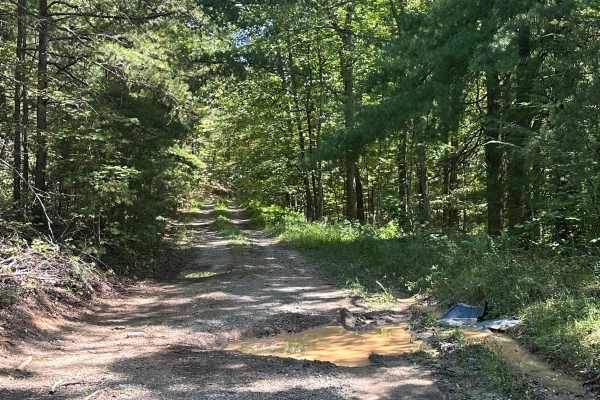
Wilson Spur
A steep, rocky, and rutted climb dead-ending at the ridgeline of Fore Mtn. There are unavoidable mud holes, a few deep ruts, as well as steep inclines and declines. The trail could potentially be very slick if snow or ice is present, so use caution when traversing during winter months. There is no c...
Learn more about Wilson Spur
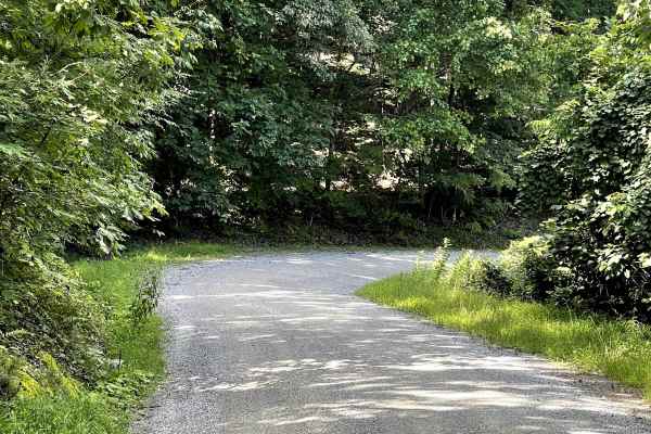
Dagger Springs Road
Dagger Springs Road is a through trail that can be accessed either from the community of Gaia or from Blue Grass Trail, with the Blue Grass Trail approach being the recommended direction. Much of the route is a very well-maintained and wide county gravel road that has recently undergone improvements...
Learn more about Dagger Springs Road
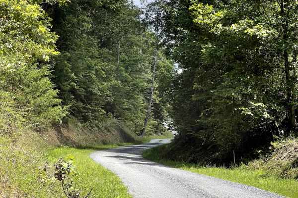
Draft Road
Draft Road is a well-maintained county gravel road that provides a peaceful out-and-back route through the surrounding countryside. The trail begins just off a paved road and continues through a mixture of agricultural farmland and sections of the Jefferson National Forest. The route is free of majo...
Learn more about Draft Road
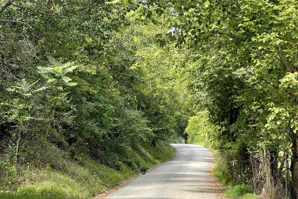
Route 685
Route 685 begins at the left fork of the road, while the right fork continues onto Route 818. This well-maintained county gravel road is free of major obstacles and provides a peaceful route through the surrounding countryside. Currently, the trail has a somewhat bumpy surface, but it is not overly ...
Learn more about Route 685
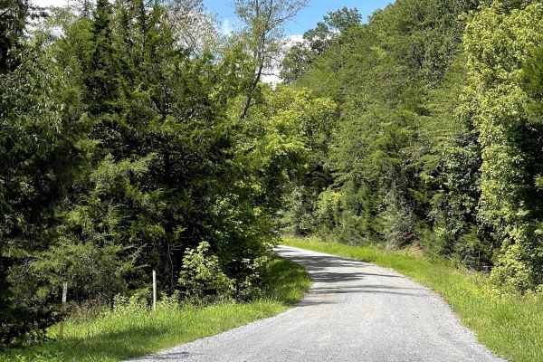
Route 818
Route 818 is a well-maintained gravel road that is free of major obstacles and offers users several options for exploring the area. The route can be traveled as an out-and-back or used as an access road to Oi Road, making it a useful connection within the local trail network. For those choosing the ...
Learn more about Route 818
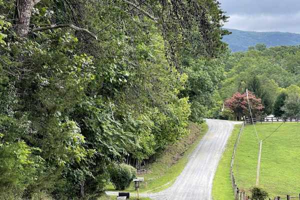
Allen Branch Road
Allen Branch Road is a well-maintained gravel road that provides users with an alternative access point to the Blue Grass Trail. This hard-packed gravel loop is free of major obstacles and offers an easygoing drive through the surrounding countryside. The route travels through a beautiful rolling me...
Learn more about Allen Branch Road
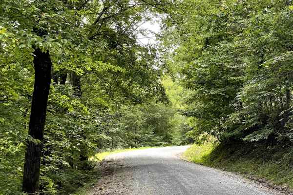
Blue Grass Trail
Blue Grass Trail is a decently maintained mixed gravel and dirt road that offers several options for exploring the area. The route can be traveled as an out-and-back, used as an access road to three other nearby trails, or enjoyed as a standalone through trail. This flexibility makes Blue Grass Trai...
Learn more about Blue Grass Trail
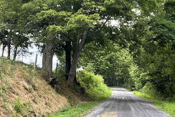
Little Dry Hollow
Little Dry Hollow is another enjoyable addition to the local gravel road network, offering users a peaceful route through beautiful farm country and surrounding mountain scenery. The trail consists of a well-maintained, hard-packed gravel surface that provides easy and comfortable travel without sig...
Learn more about Little Dry Hollow
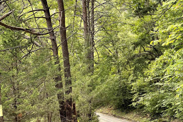
Sugar Tree Hollow
Sugar Tree Hollow is a well-maintained, hard-packed gravel two-track that winds peacefully through the countryside. The trail is free of major obstacles and provides an enjoyable drive for those looking to explore the area's rural scenery without having to navigate technical terrain. While the trail...
Learn more about Sugar Tree Hollow
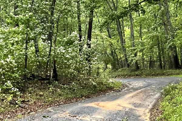
Rte 633
Route 633 is another wonderful addition to the Jack Mountain gravel county road network, offering users a scenic option for unpaved travel through the surrounding countryside.
The route consists of a hard-packed, well-maintained gravel surface that is generally easy to navigate. However, several cor...
Learn more about Rte 633
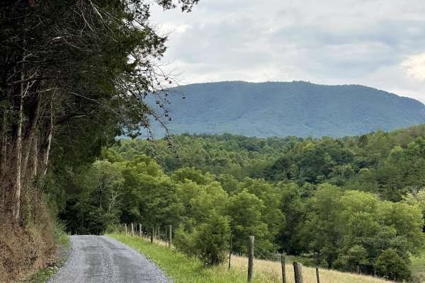
South Sugar Creek
South Sugar Hill is located just west of the community of Effinger and offers users a peaceful traverse along a well-maintained, hard-packed, two-lane gravel road. The route provides a relaxing opportunity to explore the Virginia countryside while enjoying the area's rural scenery.
One of the highli...
Learn more about South Sugar Creek
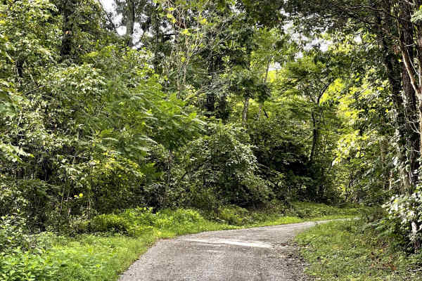
Elburnell Drive
Elburnell Road is a well-maintained gravel road accessed just off Highway 220 and offers an easygoing drive through the surrounding countryside. The trail is free of major obstacles, making it a straightforward route for drivers looking to explore the area's rolling hills without navigating technica...
Learn more about Elburnell Drive
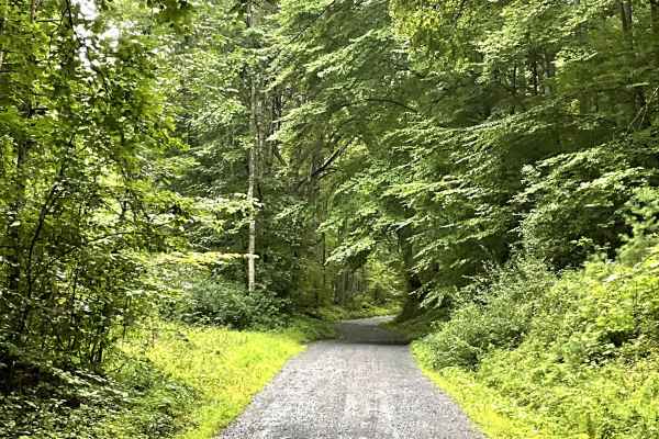
Little California
Little California is a well-maintained gravel road that provides users with another enjoyable option for unpaved travel while connecting to Top Road. The route travels through the small community of California and offers a peaceful way to explore the surrounding countryside.
The hard-packed gravel s...
Learn more about Little California
ATV trails near Iron Gate, Virginia
Explore ATV-friendly trails near you. These trails are accessible for vehicles up to 50 inches wide, perfect for ATVs and smaller off-road machines.
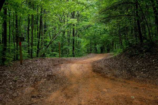
Rattlesnake
Rattlesnake Trail is a 0.5-mile ATV trail that provides smooth, easy access from the large Rattlesnake Trailhead parking lot off State Highway 130 to the South Pedlar loop. It features large water bars and fast, flowy riding with rocks pushed to the sides. The trail winds through a scenic forest dom...
Learn more about Rattlesnake
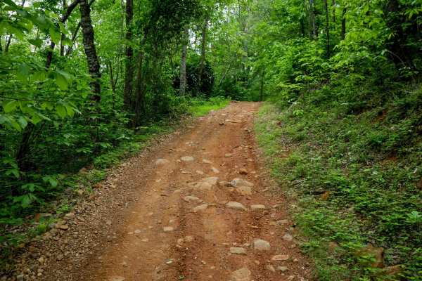
Lone Mountain
Lone Mountain Trail is a 1.8-mile easy connector that cuts across the South Pedlar ATV loop, allowing riders to create shorter route options. The trail winds gradually through a beautiful forest dominated by eastern hardwoods, with tight corners and meandering curves that offer a more enclosed, inti...
Learn more about Lone Mountain
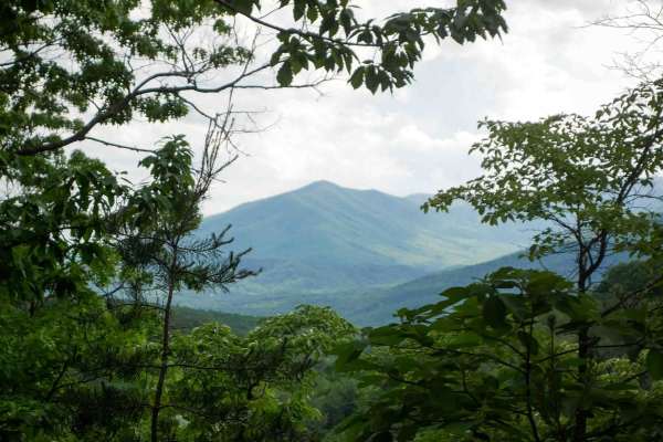
Lasso
Lasso Trail is a 2.6-mile spur off the north end of the South Pedlar loop, forming a lasso-shaped route that adds a scenic extension to your ride. The trail is wide and smooth throughout, with well-spaced water bars and minimal obstacles, making it ideal for riders of all skill levels. It winds thro...
Learn more about Lasso
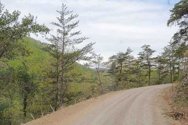
Cove Creek Road
A beautiful drive, and one stretch of Cove Creek Road even takes on the character of a western shelf road, skimming along the hillside with year‑round, stunning views. A few sections tighten up, but there’s still enough space for oncoming vehicles, making it a scenic and comfortable route for anyone...
Learn more about Cove Creek Road
UTV/side-by-side trails near Iron Gate, Virginia
Find UTV and side-by-side trails near you. These trails accommodate vehicles up to 60 inches wide, ideal for UTVs, side-by-sides, and wider off-road rigs.
Cove Creek Road
A beautiful drive, and one stretch of Cove Creek Road even takes on the character of a western shelf road, skimming along the hillside with year‑round, stunning views. A few sections tighten up, but there’s still enough space for oncoming vehicles, making it a scenic and comfortable route for anyone...
Learn more about Cove Creek Road
Cow Camp Road
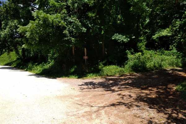
Cow Camp Road is an inviting mountain route in the George Washington National Forest that offers offroaders of all skill levels a gentle climb through scenic hardwood forests and quick access to famous Blue Ridge hiking trails. Spanning approximately 3.4 miles, this unpaved forest road ascends the s...
Learn more about Cow Camp Road
Hog Camp
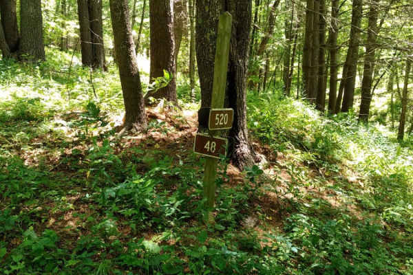
Hog Camp Road is a scenic 5.8-mile mountain route through the George Washington National Forest, perfect for stock four-wheel-drive vehicles, high-clearance SUVs, and SxSs looking for high-elevation access. Climbing over 1,200 feet from a minimum elevation of 2,465 feet up to a peak of 3,505 feet, t...
Learn more about Hog Camp
FS304B
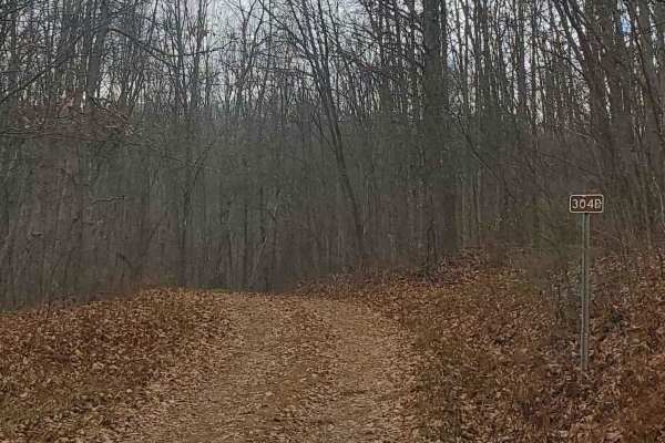
This trail is an offshoot of Stillhouse Run Road (FS304). It is poorly, if at all maintained, and downed trees and overgrown limbs cut the trail short of what is shown as available on the map. SxS, dirt bikes, and ATVs may be able to complete the full length of the trail, but a saw would be required...
Learn more about FS304B
The onX Offroad Difference
onX Offroad combines trail photos, descriptions, difficulty ratings, width restrictions, seasonality, and more in a user-friendly interface. Available on all devices, with offline access and full compatibility with CarPlay and Android Auto. Discover what you're missing today!
Open Trail Map