Trail Overview
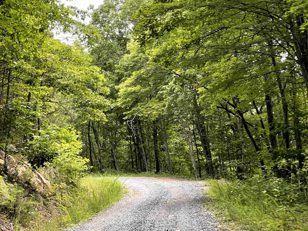
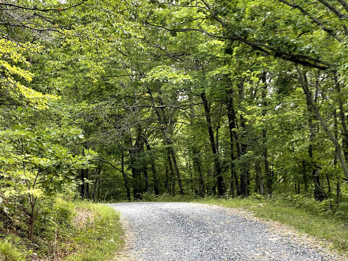
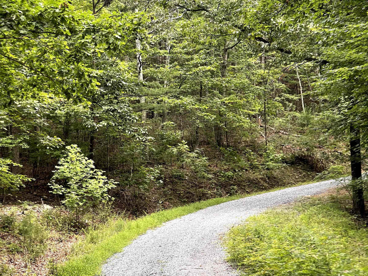
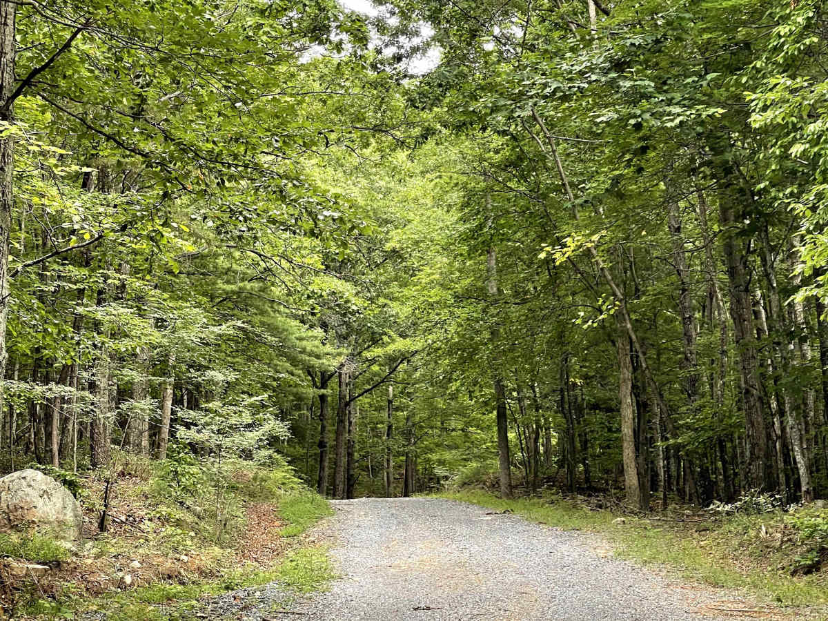
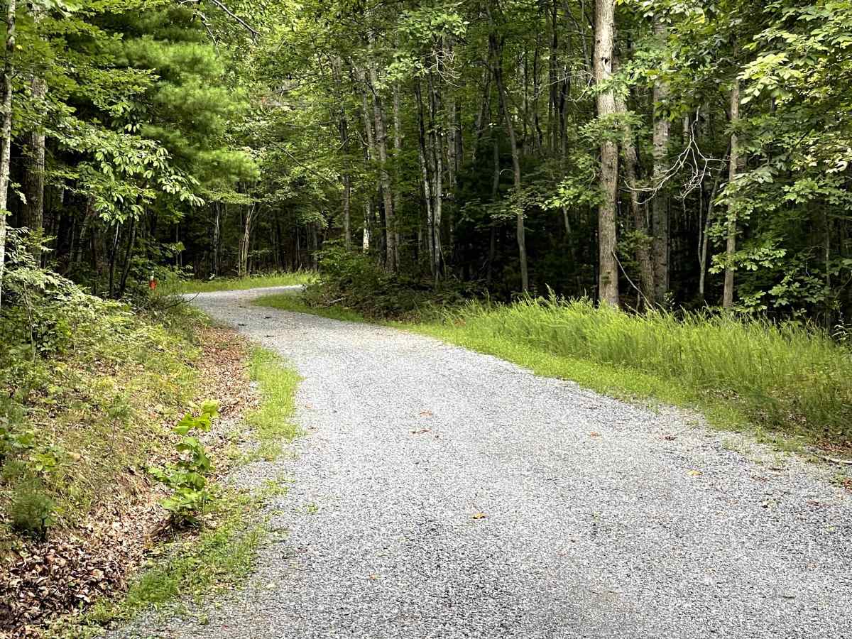
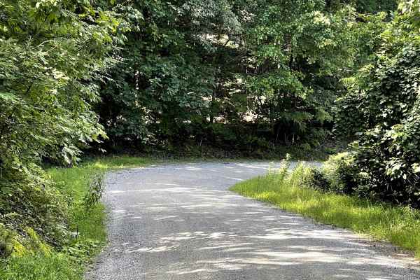
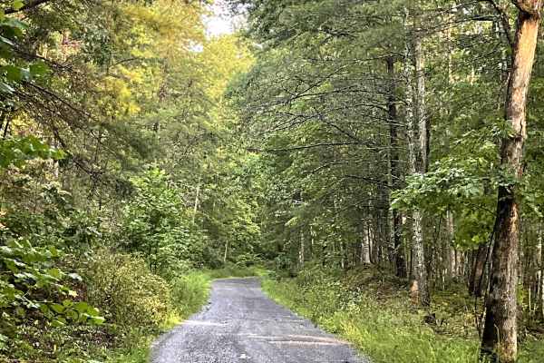
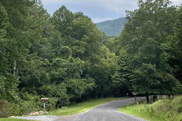
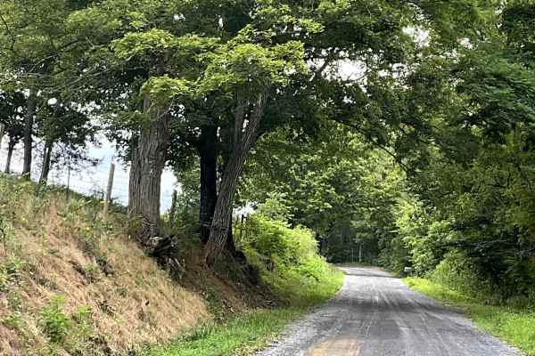
FS 3079 is a freshly graveled Forest Service road accessed from Blue Grass Trail. The trail begins with a steep incline, and the climb remains fairly consistent as users make their way toward the summit. Despite the sustained elevation gain, the route is free of major obstacles and provides a straightforward drive for those prepared for the climb. FS 3079 is an out-and-back route and eventually ends at a closed Forest Service gate. While the gate marks the end of vehicle access, it also provides a useful stopping point for users looking to continue their adventure on foot. There is a very large parking area at the gate, offering plenty of space for visitors who want to park and enjoy the local hiking trails. Overall, FS 3079 is a scenic climbing route and a great addition to the surrounding trail network.