
Dirt Bike Trails
Near Independence, Oregon
Explore All Dirt Bike Trails Near Independence, Oregon
Dirt Bike Trails Near Independence, Oregon
Discover the best dirt bike trails near you. Browse trail maps, check difficulty ratings, and find your next adventure — whether you're looking for a quick ride or an all-day expedition.
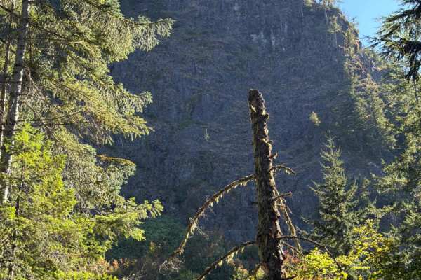
Upper Neal Creek Road
This is the route to get to Snow Peak. From the top, you will have to hike up approximately 1.5mi, or take another motorized route that will require a high-clearance 4WD. The road is larger gravel. It is very passable by 2WD, though a low-ground-clearance car is not recommended, as there are a fe...
Learn more about Upper Neal Creek Road
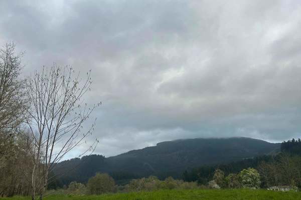
Mary's Peak to Harlan
The first mile to mile and a half is full of potholes, then it smooths out. There are dispersed camping spots along the way along with a couple of streams and views when it opens up. Throughout the trail, there are offshoots for further exploration. Winter travel is not recommended due to high pileu...
Learn more about Mary's Peak to Harlan
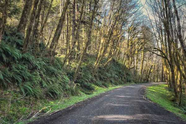
Hoag Pass Road
This gentle, winding gravel road travels through the BLM’s Nestucca River Recreation Area, connecting Bald Mountain Road to Nestucca River Rd. It provides access to numerous ATV trails, so be aware of trail crossings and oncoming traffic. The canopy is predominantly old-growth Douglas Fir, Western ...
Learn more about Hoag Pass Road
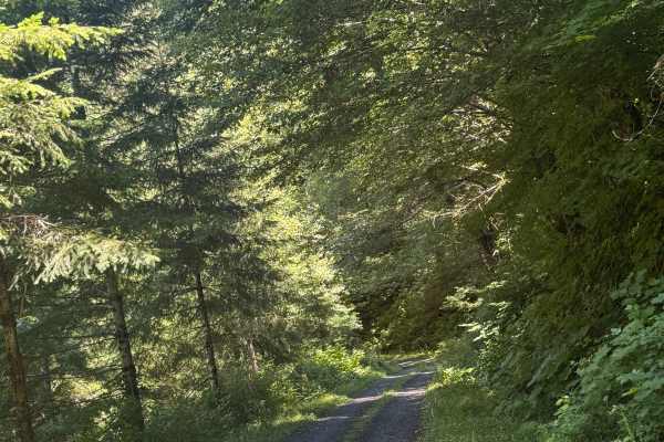
Nook - FS 2283
This is a one-lane-wide, gravel-based forest road that runs through the National Forest to the boundary of the Grand Ronde Community Indian Reservation. The trail climbs nearly 600 feet in elevation and crosses over Mount Hebo Road. There are potholes and a section that has a major washout, but you ...
Learn more about Nook - FS 2283
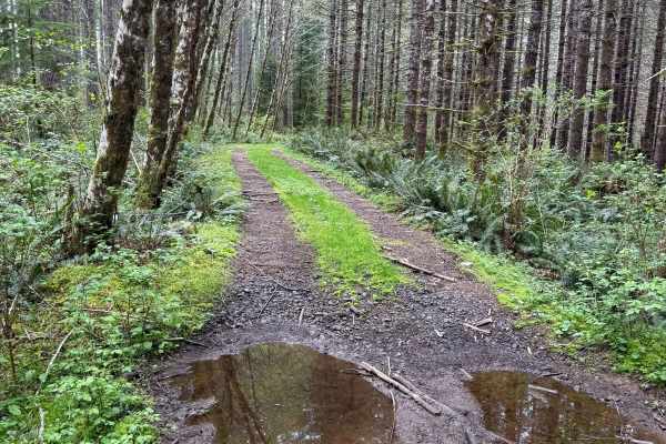
Nook Road
This is a narrow trail stretching approximately 1.5 miles, connecting to several trail networks in the Hebo region. Along this path, I encountered small mud holes and sections only wide enough for a single vehicle. The surroundings are lush, with ferns and moss-covered trees lining the route, and th...
Learn more about Nook Road
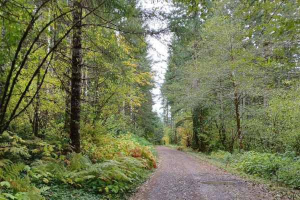
Little Hebo Access
Little Hebo Access is an easy, scenic gravel route through the lush Siuslaw National Forest, perfect for beginners and any vehicle looking for a quick, beautiful connector to the area's extensive trail network. Spanning roughly 3.8 miles, this route climbs steadily from an elevation of 553 feet to a...
Learn more about Little Hebo Access
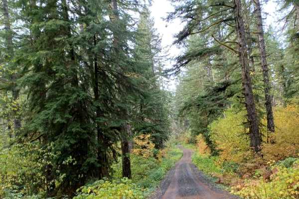
Little Hebo
Little Hebo is an easy gravel road that runs through the Siuslaw National Forest. There are a couple of camp spots on this trail some small ones, and a larger one as well. No cellphone service and the road is not winter-maintained. There are a lot of roads around this area to explore and enjoy.
Learn more about Little Hebo
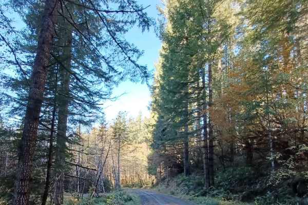
Niagara
Niagara Road runs through the Siuslaw National Forest. It is a one-lane gravel road with turnouts. Some sections of the road are more natural surfaces with sections that get muddy and slippery when wet. There are a few small spots off the side of the road that you could pull over for a night.
Learn more about Niagara
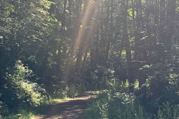
Coast Ridge - FS 2202
This is a smooth, gravel-based forest road that is narrow and one vehicle wide with places to pass. The trail has some two-track sections in places, has minor washboard in areas, and has some potholes to avoid. The trail travels through dense coastal forest, but you will also have views of the surro...
Learn more about Coast Ridge - FS 2202
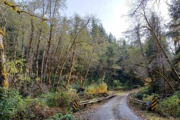
Sourgrass Ridge
Sourgrass Ridge offers an easy, accessible gravel route through the scenic Siuslaw National Forest, making it perfect for beginners and stock vehicles looking for an entry-level escape. Stretching approximately 4.9 miles, this heavily traveled corridor features smooth gravel sections that allow for ...
Learn more about Sourgrass Ridge
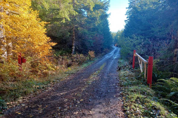
Crazy Lakes
Crazy Lakes is a scenic, point-to-point trail in the Siuslaw National Forest that is perfect for beginners and drivers with high-clearance four-wheel-drive vehicles seeking a peaceful, immersive forest drive. Stretching approximately 5.37 miles, this route climbs from an elevation of about 1,366 fee...
Learn more about Crazy Lakes
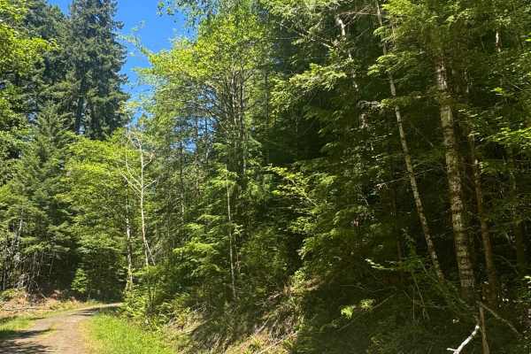
FS 2283-121
This is a dirt-based forest road through dense coastal forest. The trail runs along a ridge and provides views of the surrounding area, then descends nearly 500 feet in elevation into thick forest with overgrown vegetation, before ending at the Yamhill County Line. There are a couple muddy spots you...
Learn more about FS 2283-121
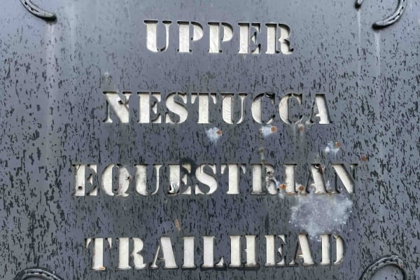
Bell Mountain Loop
Right before you head up this loop you will go through an unnamed road. You will go through a big puddle and up a steep, loose hill with water running down one of the rutted sides, up and over a few water bars that you may think twice if you are in a car. But you never know. May also give it a shot ...
Learn more about Bell Mountain Loop
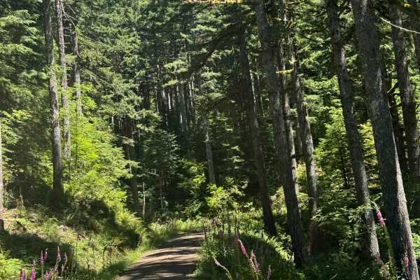
FS 2247
This is a dirt-based forest road that is narrow and one vehicle wide with places to pass. There is a small amount of gravel mixed into the trail, some potholes you will want to avoid, and minor ruts and washouts less than a foot deep. You will also encounter some very minor rock garden sections that...
Learn more about FS 2247
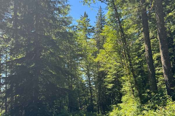
FS 2210-165
This is a narrow, one-vehicle-wide, dirt-based forest road that travels through dense coastal forest. Most of the trail is two-track, and you will encounter some overgrown vegetation. There are some places to pass, and you will come to a split in the trail. At the split, you go right, and the trail ...
Learn more about FS 2210-165
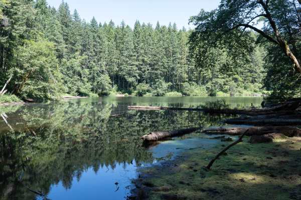
South Lake
This is a well-maintained gravel trail that accesses the South Lake Dispersed Camping Area and the lake. The trail travels through a tall pine forest with lush greenery, flowers, and berries. Designated numbered dispersed campsites with picnic tables and fire rings are available on a first-come, fir...
Learn more about South Lake
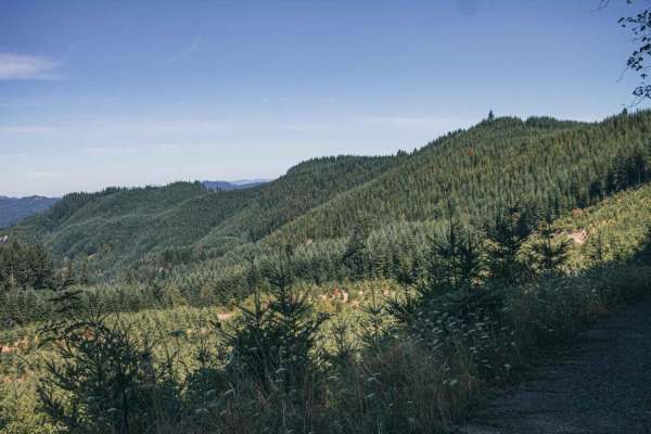
Sugar Loaf
Sugar Loaf is an approachable yet scenic gravel route through the Siuslaw National Forest and private timberlands, making it a perfect drive for beginners, high-clearance four-wheel-drive vehicles, and SxSs seeking sweeping forest views. Spanning approximately 3.7 miles, this easy-rated trail climbs...
Learn more about Sugar Loaf
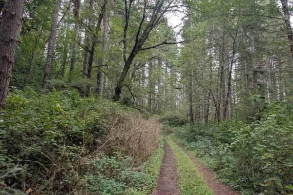
FS 3100126
This maintained trail travels through a dense, very green forest with a heavy canopy overhead. The road surface is mostly smooth gravel, though undergrowth and trees encroach on the trail in places, making the route look wider than it is. The surrounding vegetation can be deceptive, so allow extra r...
Learn more about FS 3100126
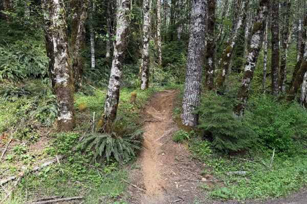
Beaver
Beaver is a 1.3-mile unmarked single-track trail that begins from a light staging area off Ginger Creek. The start features a tight single track with pristine dirt. The trail remains mostly narrow, with a few splits along the way, and conditions can vary over time, including deep ruts and exposed ro...
Learn more about Beaver
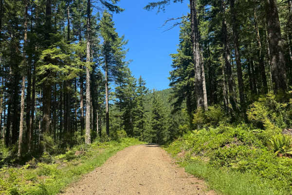
Lawrence Basin - FS 1424
This is a wide, gravel-based forest road that is relatively smooth. The trail has 1 major switchback and winds through the National Forest. The trail offers dense forest views and good views of the surrounding ridges. The trail dead ends into a flat, loop campsite at the end, and camping is allowed ...
Learn more about Lawrence Basin - FS 1424
ATV trails near Independence, Oregon
Explore ATV-friendly trails near you. These trails are accessible for vehicles up to 50 inches wide, perfect for ATVs and smaller off-road machines.
Upper Neal Creek Road
This is the route to get to Snow Peak. From the top, you will have to hike up approximately 1.5mi, or take another motorized route that will require a high-clearance 4WD. The road is larger gravel. It is very passable by 2WD, though a low-ground-clearance car is not recommended, as there are a fe...
Learn more about Upper Neal Creek Road
Mary's Peak to Harlan
The first mile to mile and a half is full of potholes, then it smooths out. There are dispersed camping spots along the way along with a couple of streams and views when it opens up. Throughout the trail, there are offshoots for further exploration. Winter travel is not recommended due to high pileu...
Learn more about Mary's Peak to Harlan
Hoag Pass Road
This gentle, winding gravel road travels through the BLM’s Nestucca River Recreation Area, connecting Bald Mountain Road to Nestucca River Rd. It provides access to numerous ATV trails, so be aware of trail crossings and oncoming traffic. The canopy is predominantly old-growth Douglas Fir, Western ...
Learn more about Hoag Pass Road
Nook - FS 2283
This is a one-lane-wide, gravel-based forest road that runs through the National Forest to the boundary of the Grand Ronde Community Indian Reservation. The trail climbs nearly 600 feet in elevation and crosses over Mount Hebo Road. There are potholes and a section that has a major washout, but you ...
Learn more about Nook - FS 2283
UTV/side-by-side trails near Independence, Oregon
Find UTV and side-by-side trails near you. These trails accommodate vehicles up to 60 inches wide, ideal for UTVs, side-by-sides, and wider off-road rigs.
Upper Neal Creek Road
This is the route to get to Snow Peak. From the top, you will have to hike up approximately 1.5mi, or take another motorized route that will require a high-clearance 4WD. The road is larger gravel. It is very passable by 2WD, though a low-ground-clearance car is not recommended, as there are a fe...
Learn more about Upper Neal Creek Road
Mary's Peak to Harlan
The first mile to mile and a half is full of potholes, then it smooths out. There are dispersed camping spots along the way along with a couple of streams and views when it opens up. Throughout the trail, there are offshoots for further exploration. Winter travel is not recommended due to high pileu...
Learn more about Mary's Peak to Harlan
Hoag Pass Road
This gentle, winding gravel road travels through the BLM’s Nestucca River Recreation Area, connecting Bald Mountain Road to Nestucca River Rd. It provides access to numerous ATV trails, so be aware of trail crossings and oncoming traffic. The canopy is predominantly old-growth Douglas Fir, Western ...
Learn more about Hoag Pass Road
Nook - FS 2283
This is a one-lane-wide, gravel-based forest road that runs through the National Forest to the boundary of the Grand Ronde Community Indian Reservation. The trail climbs nearly 600 feet in elevation and crosses over Mount Hebo Road. There are potholes and a section that has a major washout, but you ...
Learn more about Nook - FS 2283
The onX Offroad Difference
onX Offroad combines trail photos, descriptions, difficulty ratings, width restrictions, seasonality, and more in a user-friendly interface. Available on all devices, with offline access and full compatibility with CarPlay and Android Auto. Discover what you're missing today!
Open Trail Map