Trail Overview
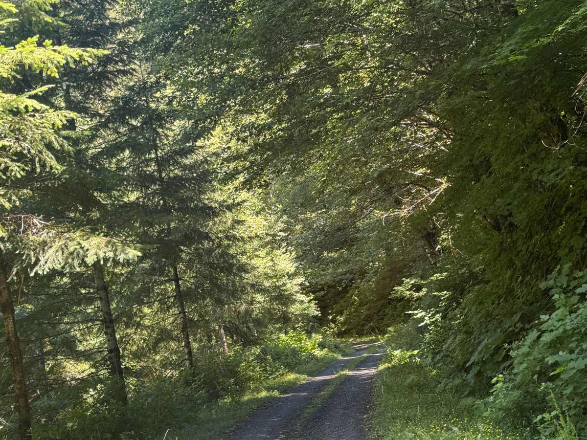
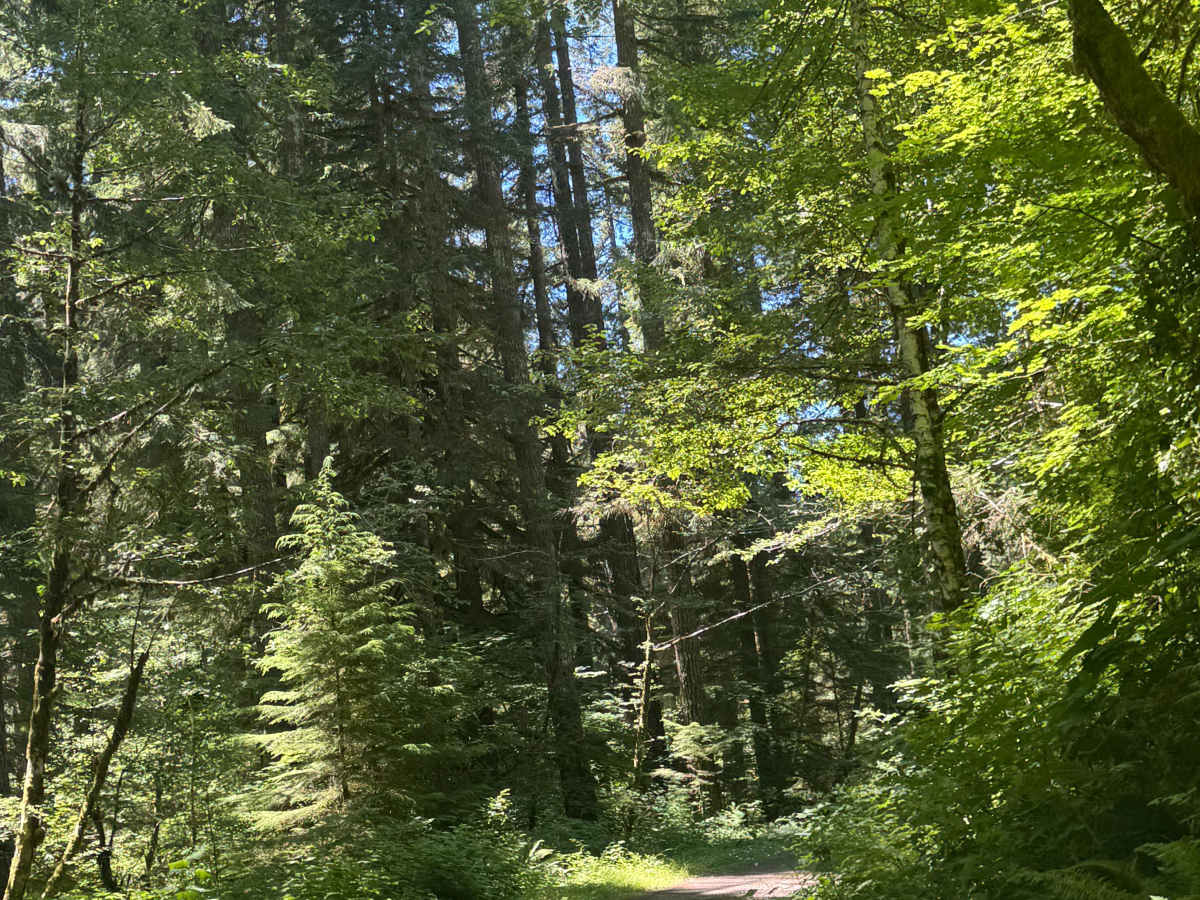
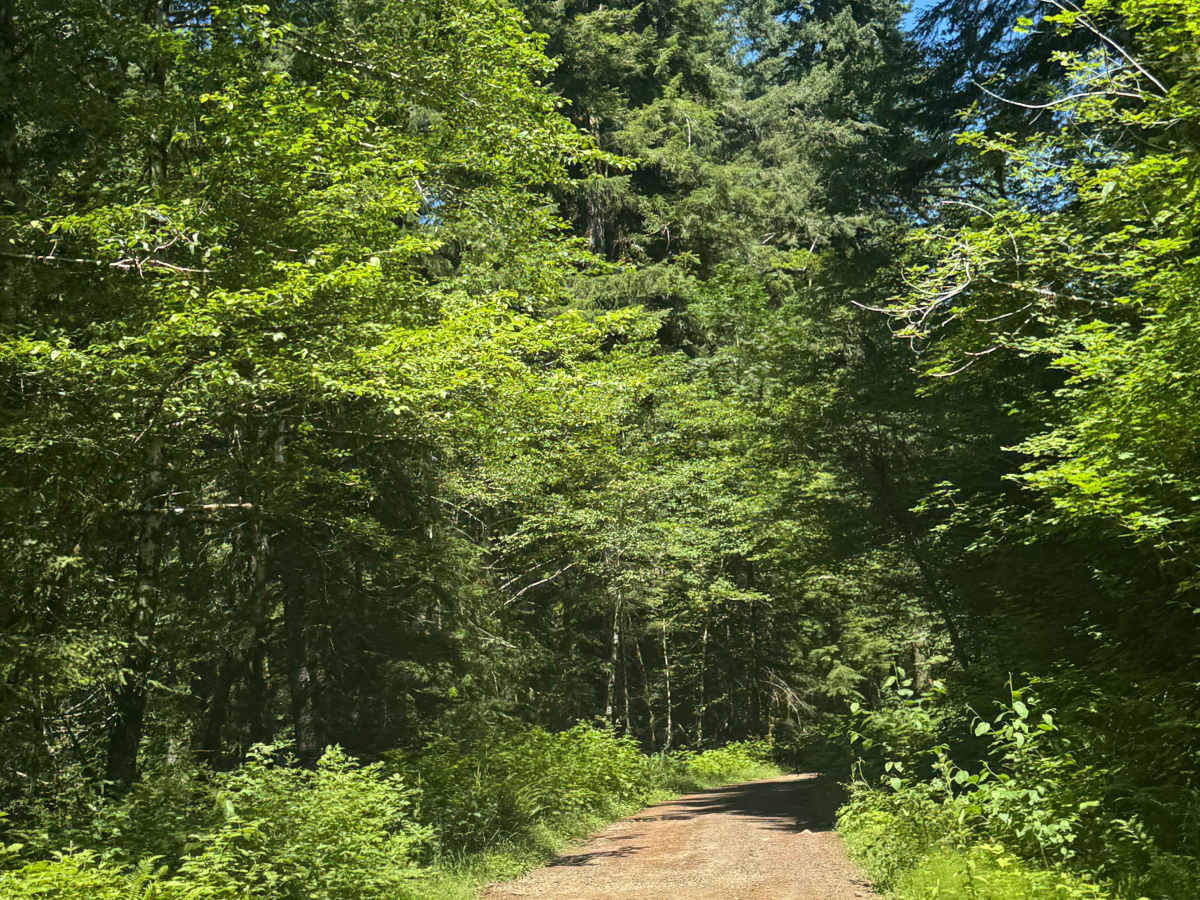
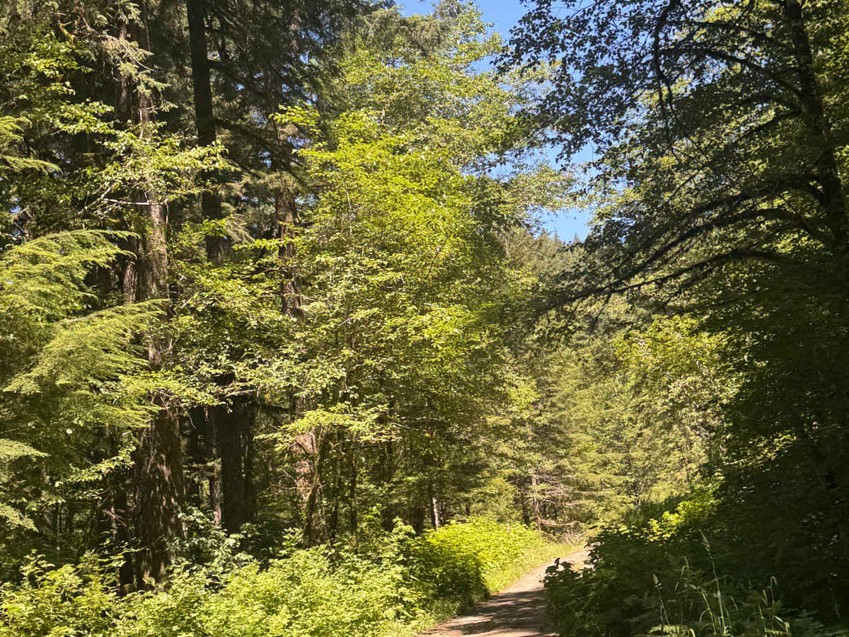
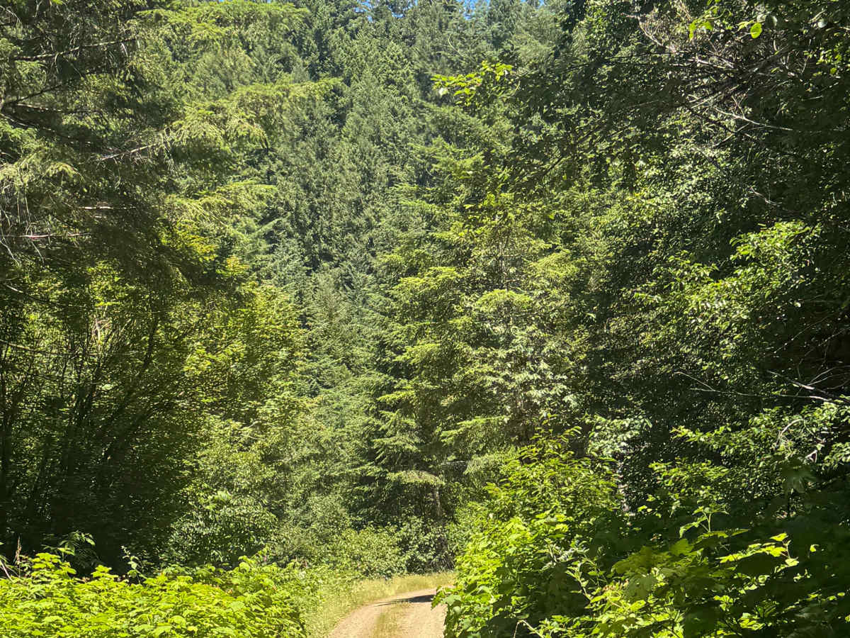
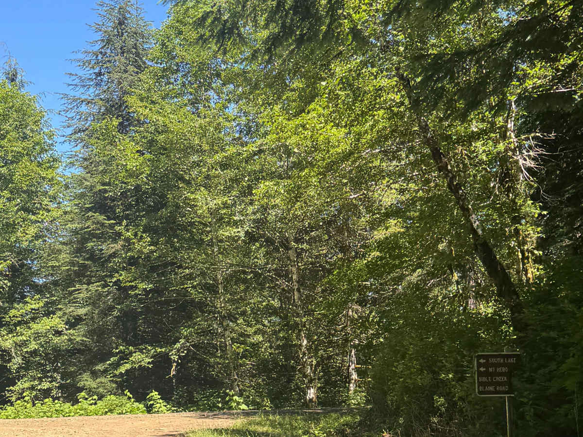
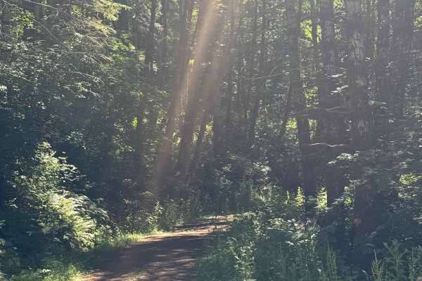
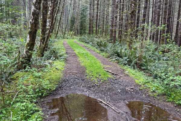
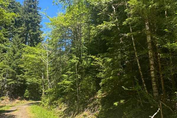
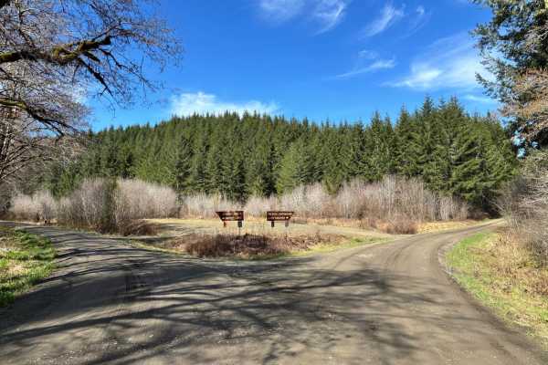
This is a one-lane-wide, gravel-based forest road that runs through the National Forest to the boundary of the Grand Ronde Community Indian Reservation. The trail climbs nearly 600 feet in elevation and crosses over Mount Hebo Road. There are potholes and a section that has a major washout, but you are still able to navigate through it, but it is muddy. Camping is allowed along this entire trail with many campsites along the way, and you will enjoy dense forest views and views of the surrounding ridges. There are no amenities, and cell phone service is weak at best, so travel prepared. The nearest services and supplies are approximately 25 minutes away in McMinnville. Any vehicle type could traverse this trail.
Difficulty
Easy, gravel-based forest road that runs to/into the Grand Ronde Community Reservation. There are potholes, minor washboard, and one major wash that can still be navigated, though it is muddy. This trail is suitable for any vehicle type.