
Dirt Bike Trails
Near Hunter Creek, Arizona
Explore All Dirt Bike Trails Near Hunter Creek, Arizona
Dirt Bike Trails Near Hunter Creek, Arizona
Discover the best dirt bike trails near you. Browse trail maps, check difficulty ratings, and find your next adventure — whether you're looking for a quick ride or an all-day expedition.
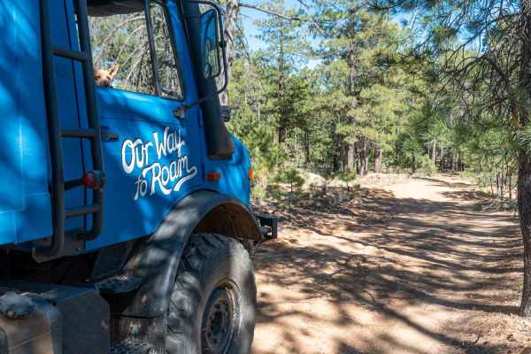
Promontory Butte - FS 410
This wide, graded dirt road leads out to Promontory Butte and offers a very easy, scenic drive through a Ponderosa Pine forest. There are plenty of dispersed camp spots along the way, with only a few washouts creating mild dips in the road. The surface is mostly dirt with a few sandy sections. As yo...
Learn more about Promontory Butte - FS 410
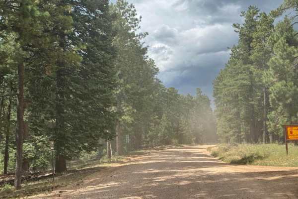
Dye Loop
***Area can have many spots that vary on needing to be street legal or not to ride on. Verify with USFS if not street legal on new changes*** This route can be dusty with heavy traffic and changes with the summer monsoon storms and winter snowpack. Keep in mind that this route does get frequent heav...
Learn more about Dye Loop
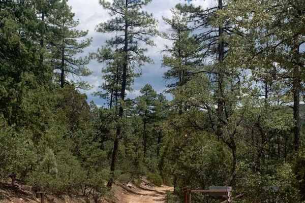
FDR 848
Very scenic drive with a great view and access to the nice creek to cool off in on hot days. This trail is very mild and friendly to all high clearance vehicles up to the first water crossing, although it would be more difficult when wet. After the water crossing, there are some narrow spots with le...
Learn more about FDR 848
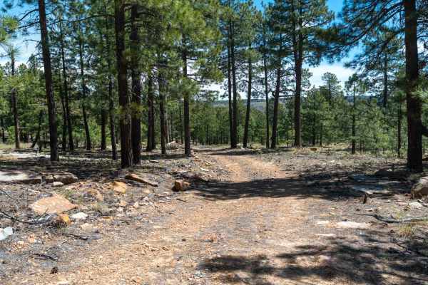
FS 9708J
This rocky and sandy two-track runs parallel to the rim, winding its way through a forest of large ponderosa pines. The trail features a few small rock ledges and becomes overgrown in sections, giving it a lightly traveled feel. As you continue, the road gradually narrows and becomes less defined be...
Learn more about FS 9708J
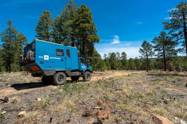
FS 9708H
This open dirt road starts fairly level and easy, with a few camp spots along the way. As you continue, you’ll encounter some exposed rock and small ledges, but nothing overly difficult. The trail winds through the forest with beautiful views, passing a small pond before gradually descending toward ...
Learn more about FS 9708H
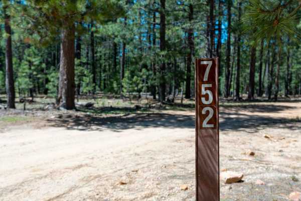
FS 752
This dirt two-track heads back toward Knoll Lake, starting flat and easy before quickly introducing a series of large puddles that can vary greatly depending on recent rain or snow. There are usually drive-arounds, but conditions can change fast if it’s been wet. The trail offers many dispersed camp...
Learn more about FS 752
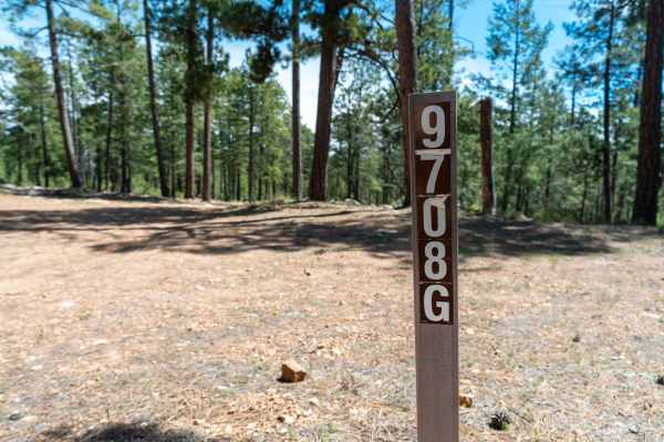
FS 9708G
This trail starts as a wide but rocky two-track that weaves its way back into a forest of Ponderosa Pines. The route gradually loses elevation as you head toward the rim, with a mix of rocky and occasional sandy sections along the way. The road eventually dead-ends just short of the rim, but still o...
Learn more about FS 9708G
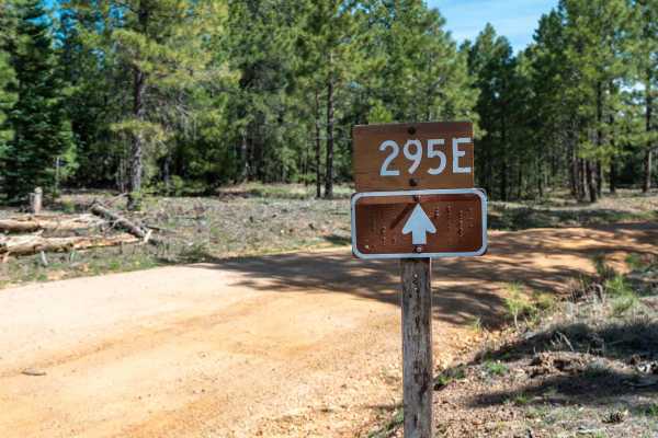
Knoll Lake - FS 295E
This maintained, graded dirt road leads back to the beautiful Knoll Lake and Knoll Lake Campground. The drive is mostly smooth and easy, though there are a few slightly rutted and bumpy sections along with occasional exposed rocks. Dispersed camp spots can be found along the route, making it a conve...
Learn more about Knoll Lake - FS 295E
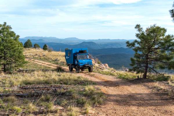
Myrtle Point - FS 300C
This dirt road features several dispersed camp spots along the route and leads out to a beautiful campsite with great views over the rim at the end. Along the way, you’ll encounter multiple large puddle sections that can become very challenging after rain or snow, though there are usually a few driv...
Learn more about Myrtle Point - FS 300C
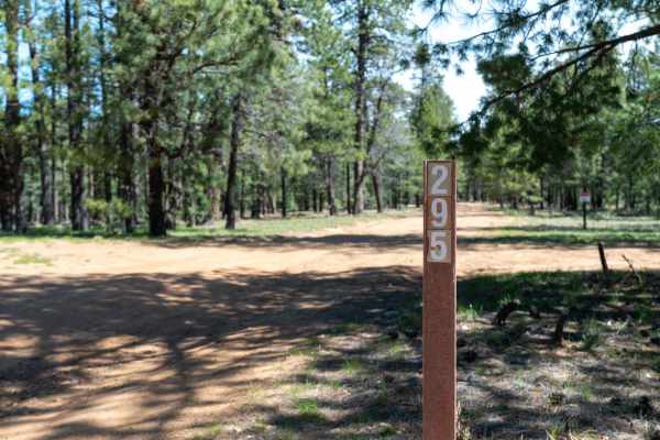
Knoll Ridge - FS 295
This wide dirt road appears to have been maintained at one point, but is now fairly rutted with frequent washouts and rolling dips that make for an uneven drive. There are plenty of spur roads and dispersed camping options along the way, offering lots of places to explore or set up camp. The trail p...
Learn more about Knoll Ridge - FS 295
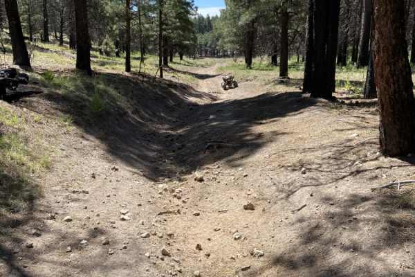
Alder Canyon
Alder Canyon is a fast, lightly-trafficked four-mile trail in Arizona's Mogollon Rim region that is ideal for side-by-sides, ATVs, and dirt bikes looking for a quick and scenic forest ride. The trail is wide enough to accommodate all vehicle types, making it a versatile option for off-roaders seekin...
Learn more about Alder Canyon
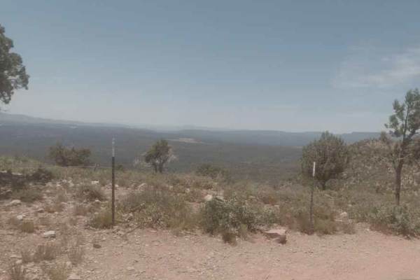
Diamond Point Lookout
This long, dusty trail cuts through the ponderosa pines and junipers common in the shadow of the Mogollon Rim. The main road is well graded and free of obstacles. There are several offshoots if you are looking for a minor challenge. As this trail lowers in elevation, you'll come to Diamond Point Loo...
Learn more about Diamond Point Lookout
Wallace Road
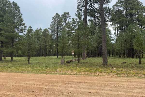
*** Legal requirements vary in this area. Frequent changes - verify with USFS on current restrictions** This route is a very strict public right of way for a section of it. Please respect the private property. The road is very easy dirt trail that winds thru the trees. You will see frequent wildlife...
Learn more about Wallace Road
Waters Draw
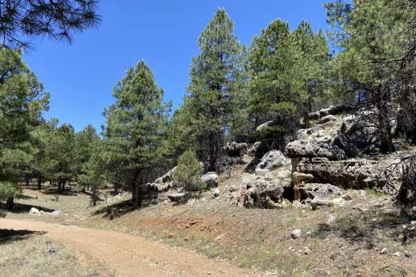
Waters Draw is a scenic, beginner-friendly single-track trail on the Mogollon Rim within the Apache-Sitgreaves National Forests. Spanning just under 0.6 miles, this short dirt-bike route winds through dense pine forests, open power line corridors, and along a large, parallel rocky area. The mostly d...
Learn more about Waters Draw
Water Draw Loop
Water Draw Loop is a scenic 2.6-mile off-road trail in the Apache-Sitgreaves National Forests of Arizona, offering a quick and enjoyable forest adventure for riders of all skill levels. This short loop is ideal for four-wheel-drive vehicles, SxSs, and dirt bikes looking to explore the quiet pine cou...
Learn more about Water Draw Loop
Forest Lakes to Sheep Creek Point
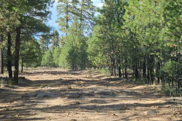
Forest Road 260B from Forest Lakes to Sheep Creek Point is a 5-mile out-and-back through Pondarosa forest to fantastic views from the Mogollon Rim to the valleys below. The road starts out rather easy, but slowly gets better (as in more fun) as it gets closer to the Mogollon Rim. There are signific...
Learn more about Forest Lakes to Sheep Creek Point
Pyeatt Draw
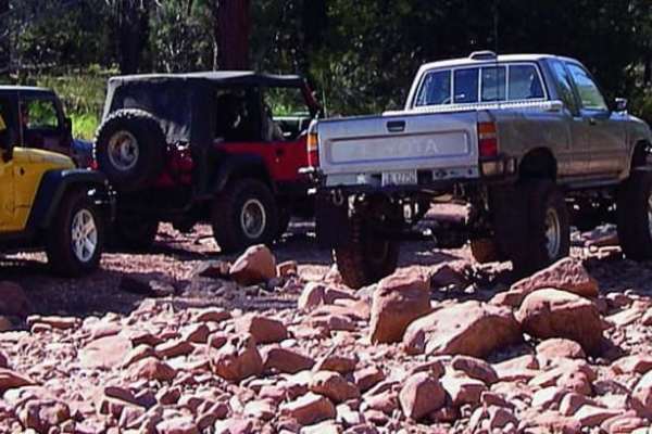
You can opt out of the most difficult section of this trail by taking the forest road the winds along the wash. An obstacle called "The Filter" causes many drivers to exit at that point. ATVs and UTVs may have a hard time in the wash, but unlicensed vehicles are permitted.
Learn more about Pyeatt Draw
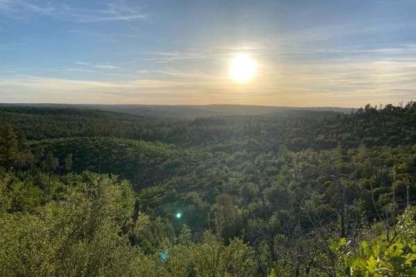
Rim Road East
Like Rim Road West, Rim Road East offers tremendous views from atop the Mogollon Rim. Where RRW is passable by all vehicles, Rim Road East is slightly more technical due to erosion and will require higher ground clearance if traveling in a 2WD vehicle. This is an extremely serene route, and although...
Learn more about Rim Road East
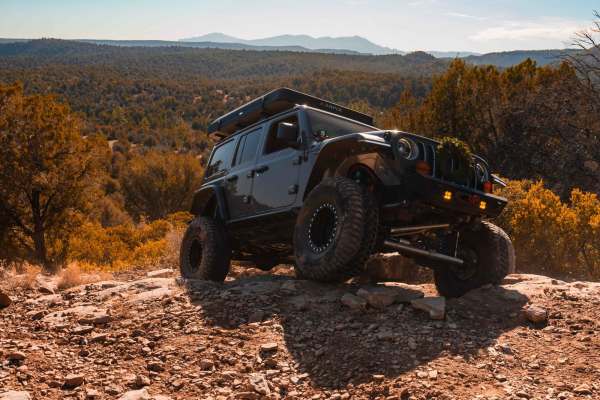
Rocker Knocker
This thrilling trail in Payson, Arizona, takes you through a beautiful, pine tree-lined landscape with breathtaking views of the iconic Mogollon Rim. Designed for adventurous spirits, the route features rugged terrain and challenging obstacles that demand a high-clearance 4x4 vehicle. Along the way,...
Learn more about Rocker Knocker
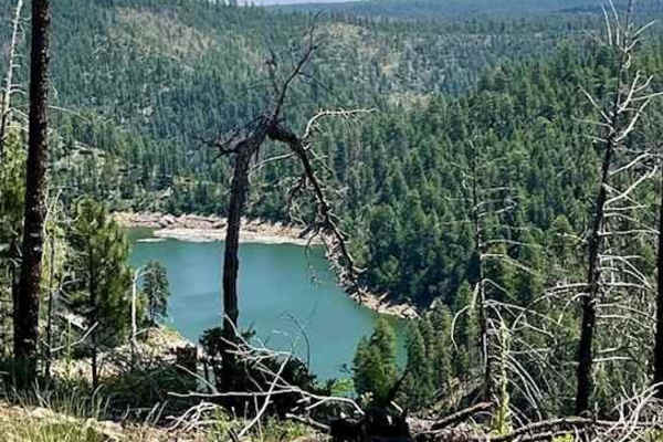
Battleground Ridge
This is a great trail! You can take your time to enjoy the scenery or drive quickly to reach your destination. The road is mostly gravel and dirt, with some deep ruts and mud towards the end. Getting here is easy;the trail is just off Rim Road West from Highway 87. There aren't many camping spots, b...
Learn more about Battleground Ridge
ATV trails near Hunter Creek, Arizona
Explore ATV-friendly trails near you. These trails are accessible for vehicles up to 50 inches wide, perfect for ATVs and smaller off-road machines.
Promontory Butte - FS 410
This wide, graded dirt road leads out to Promontory Butte and offers a very easy, scenic drive through a Ponderosa Pine forest. There are plenty of dispersed camp spots along the way, with only a few washouts creating mild dips in the road. The surface is mostly dirt with a few sandy sections. As yo...
Learn more about Promontory Butte - FS 410
Dye Loop
***Area can have many spots that vary on needing to be street legal or not to ride on. Verify with USFS if not street legal on new changes*** This route can be dusty with heavy traffic and changes with the summer monsoon storms and winter snowpack. Keep in mind that this route does get frequent heav...
Learn more about Dye Loop
FDR 848
Very scenic drive with a great view and access to the nice creek to cool off in on hot days. This trail is very mild and friendly to all high clearance vehicles up to the first water crossing, although it would be more difficult when wet. After the water crossing, there are some narrow spots with le...
Learn more about FDR 848
FS 9708J
This rocky and sandy two-track runs parallel to the rim, winding its way through a forest of large ponderosa pines. The trail features a few small rock ledges and becomes overgrown in sections, giving it a lightly traveled feel. As you continue, the road gradually narrows and becomes less defined be...
Learn more about FS 9708J
UTV/side-by-side trails near Hunter Creek, Arizona
Find UTV and side-by-side trails near you. These trails accommodate vehicles up to 60 inches wide, ideal for UTVs, side-by-sides, and wider off-road rigs.
Promontory Butte - FS 410
This wide, graded dirt road leads out to Promontory Butte and offers a very easy, scenic drive through a Ponderosa Pine forest. There are plenty of dispersed camp spots along the way, with only a few washouts creating mild dips in the road. The surface is mostly dirt with a few sandy sections. As yo...
Learn more about Promontory Butte - FS 410
Dye Loop
***Area can have many spots that vary on needing to be street legal or not to ride on. Verify with USFS if not street legal on new changes*** This route can be dusty with heavy traffic and changes with the summer monsoon storms and winter snowpack. Keep in mind that this route does get frequent heav...
Learn more about Dye Loop
FDR 848
Very scenic drive with a great view and access to the nice creek to cool off in on hot days. This trail is very mild and friendly to all high clearance vehicles up to the first water crossing, although it would be more difficult when wet. After the water crossing, there are some narrow spots with le...
Learn more about FDR 848
FS 9708J
This rocky and sandy two-track runs parallel to the rim, winding its way through a forest of large ponderosa pines. The trail features a few small rock ledges and becomes overgrown in sections, giving it a lightly traveled feel. As you continue, the road gradually narrows and becomes less defined be...
Learn more about FS 9708J
The onX Offroad Difference
onX Offroad combines trail photos, descriptions, difficulty ratings, width restrictions, seasonality, and more in a user-friendly interface. Available on all devices, with offline access and full compatibility with CarPlay and Android Auto. Discover what you're missing today!
Open Trail Map