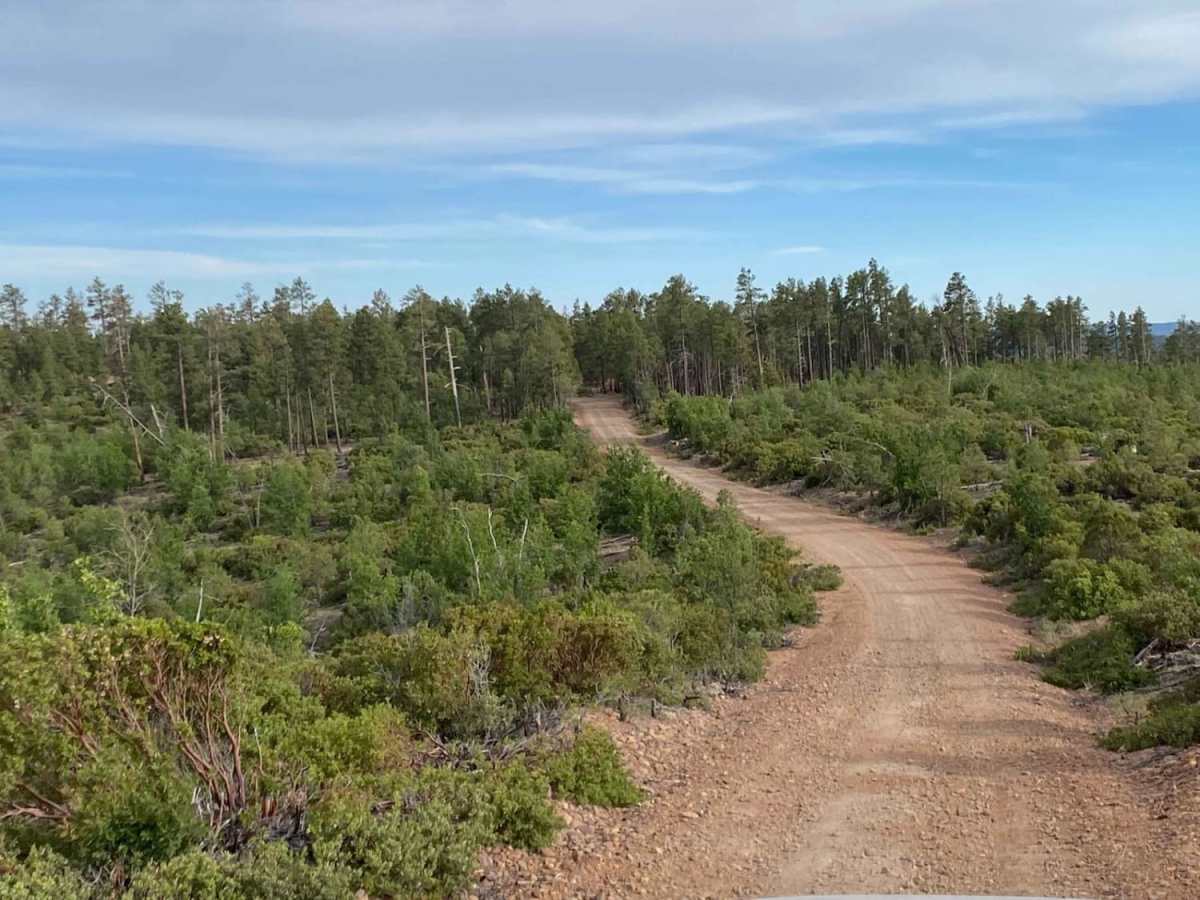
Rim Road East

Total Miles 55.4
Technical Rating
2 Easy
Best Time Spring, Summer, Fall
Trail Type Full-Width Road
Accessible By
Open Trail Map

Trail Overview

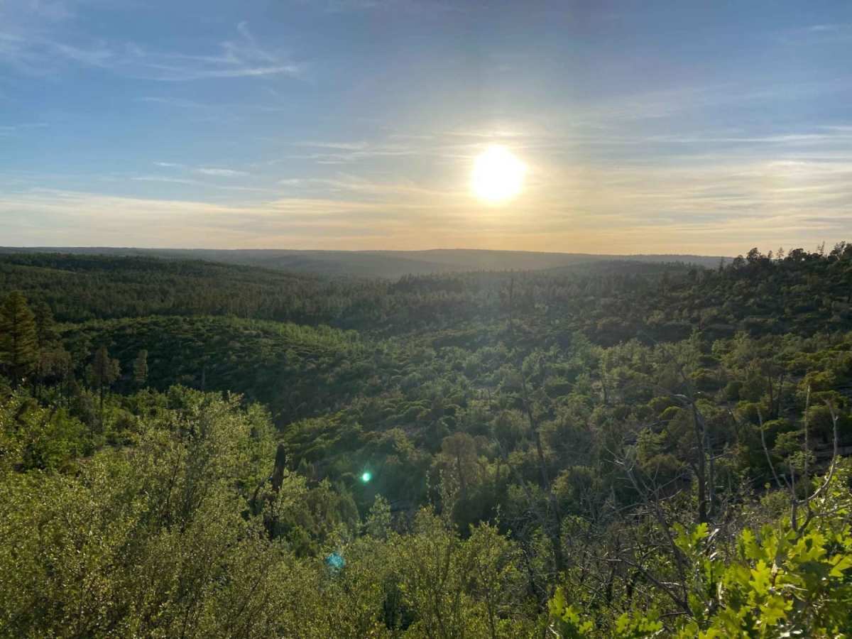
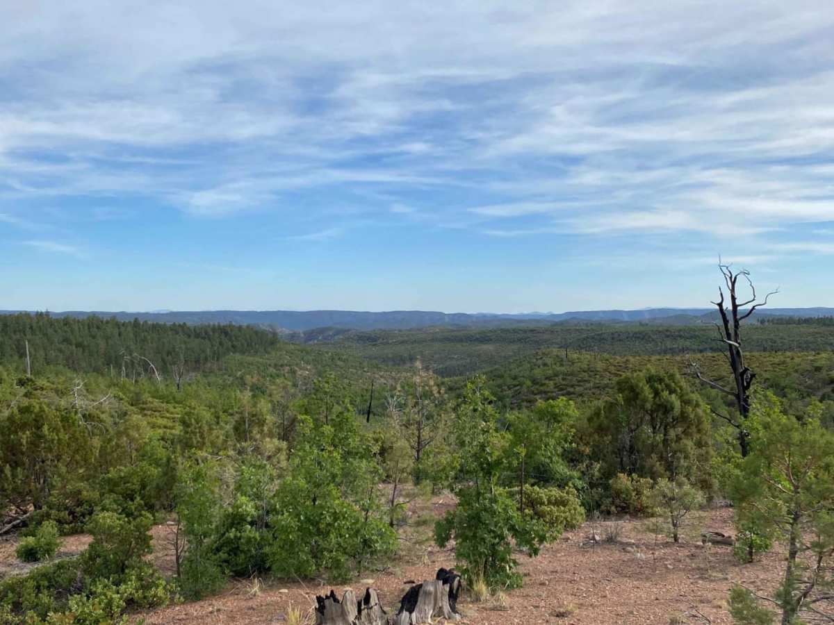
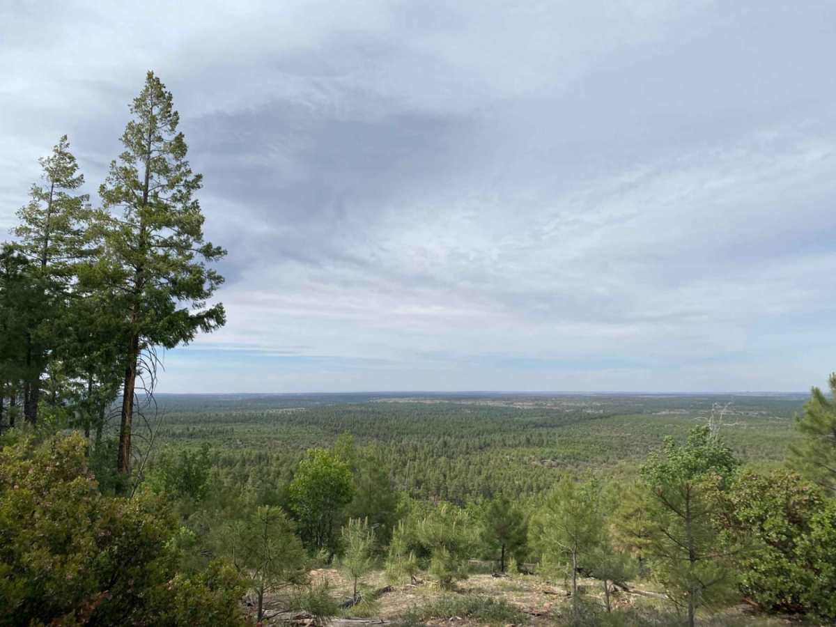
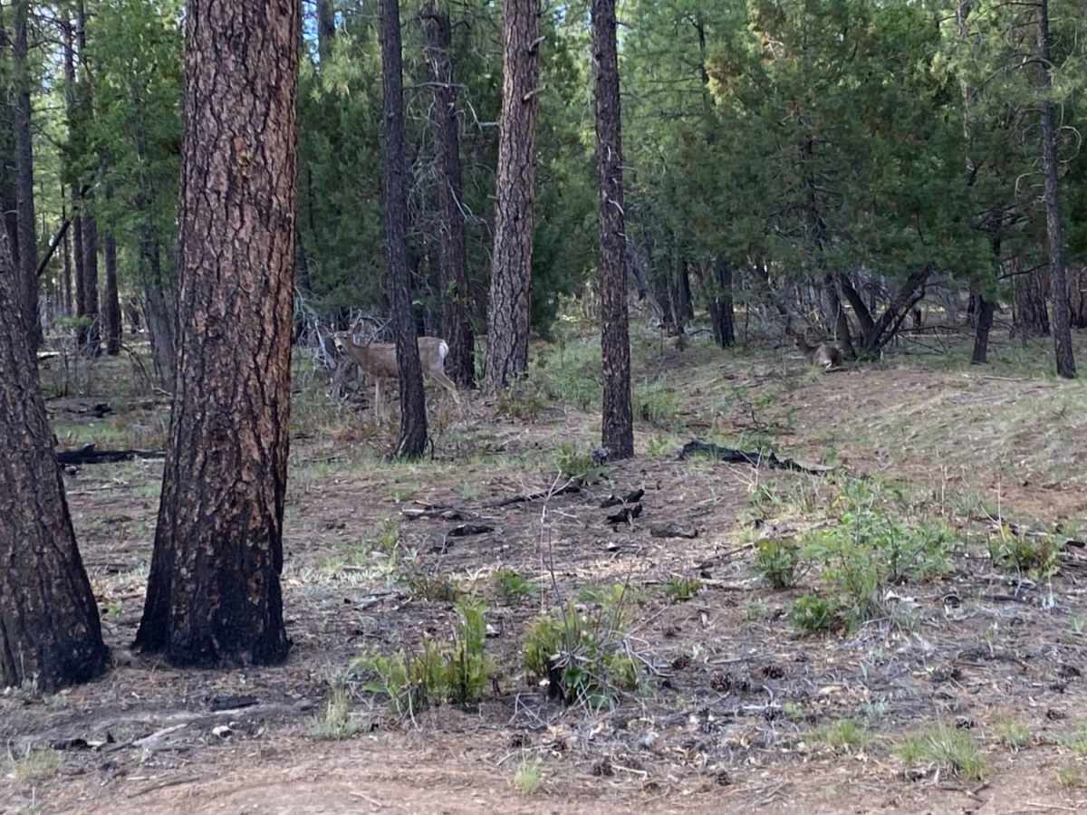
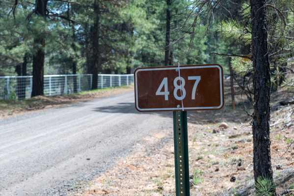
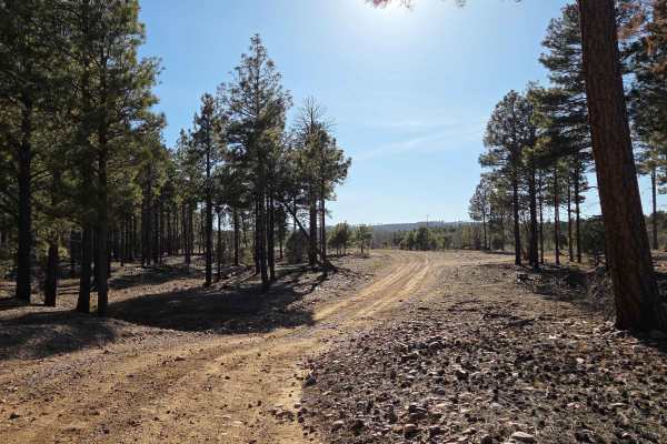
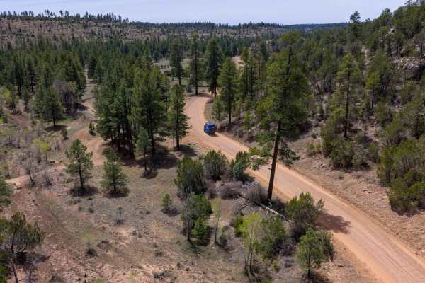
Like Rim Road West, Rim Road East offers tremendous views from atop the Mogollon Rim. Where RRW is passable by all vehicles, Rim Road East is slightly more technical due to erosion and will require higher ground clearance if traveling in a 2WD vehicle. This is an extremely serene route, and although it doesn't have the sheer cliffs like you'll experience on RRW, Rim Road East does offer amazing views of the Sitgreaves National Forest to the North and the White Mountain Apache Reservation to the South. Wildlife is abundant, so take your time with this route and keep an eye out for deer, elk, and maybe a rare glimpse at a black bear. The trail stops at a locked gate as the route enters White Mountain Apache Reservation roughly 2 miles after crossing Hwy 60. As always, be a steward of our public lands and national forests; practice Tread Lightly! principles.**Trail is blocked by locked gate where FS RD 300 passes into White Mountain Apache Reservation roughly 2 miles after crossing Hwy 60.

Photos of Rim Road East

Difficulty

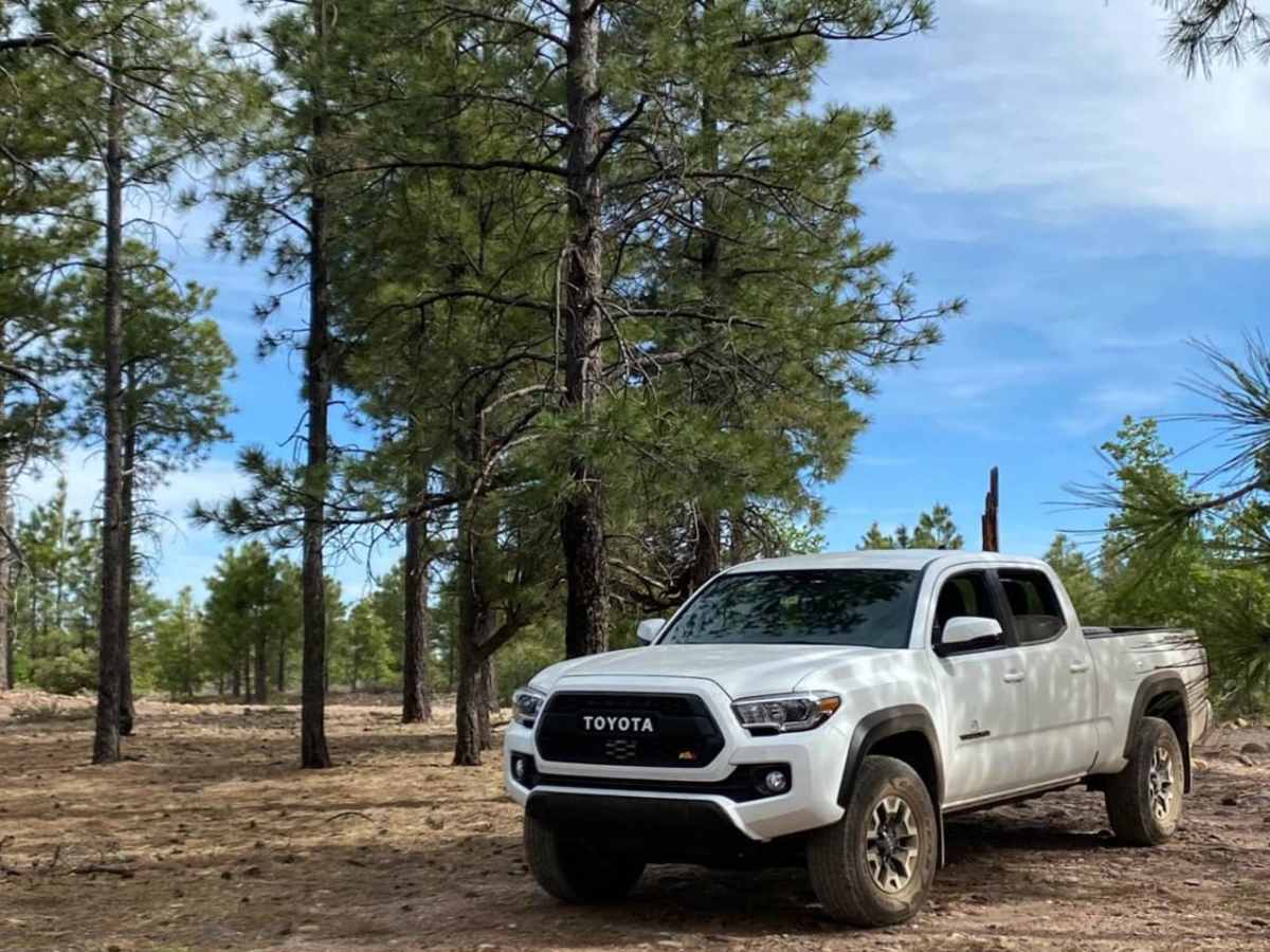
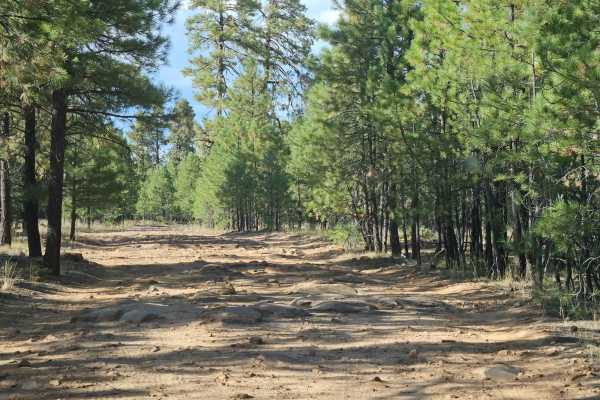
This route is an easy dirt and gravel mix with some small obstacles and washboard sections. Unlike Rim Road West where sedans can easily pass, Rim Road East will require more ground clearance. Make sure to be aware of the weather forecast as rain will likely require 4WD.

Technical Rating

2

Status Reports

Add Status Report
Jolene Slowen
May 05, 2026
Open
The trail has some erosions areas but it is in good shape. It is a little dusty and for this time of year that is unusual.
Larry Melanson
Mar 12, 2026
Open
Lacking the cliffs and panoramic views of Rim Road West. A forested run for the most part. Some ruts but passable. The 15 miles of rock washboard near the SR 260 end got a little tedious.
peter weisskopf
Oct 31, 2025
Open
Road much more eroded than expected. At least 20 miles of loose rock with some climbs in deep rutted, loose rock. Difficult on big adventure bike, certainly passable fun on smaller dirt bike or 4x4
Devin Bryce
Jul 01, 2025
Open
Although this is called "Rim Road" it does not offer nearly as good as views as Rim Road West trail does. For the east half of this trail you are following the fence line of the Native American Reservation which cuts you off from getting to the edge of any rim. Do not attempt to to continue on FR-300 east of the 60 to try and get to Pinetop/Lakeside as it is closed with a gate half way through as it enters Reservation land for about 1/2 mile.
Tony And Raquel Garcia
Apr 10, 2025
Open
Erik Neitzel
Apr 02, 2025
Open
Entrance on the east end of the trail is closed.
Eric Melonzon
Jan 25, 2025
Open
Travis Thomas
Apr 20, 2024
Open
Road east of the deer springs lookout towards show low is not maintained well with large ruts high clearance required though in the dry 2wd is very doable but if conditions become wet or muddy 4WD will be required/ west of deer springs lookout toward forest lakes high clearance suggested but becomes very rocky at times
Kenny Lee
Mar 23, 2024
Open
kynzie shay
Jul 28, 2023
Open
Leo Vascik
Jul 14, 2023
Open
Justin Flitton
Jul 10, 2023
Open
Greg Schoenberg
Jun 30, 2023
Open
Scott T
Jun 15, 2023
Open
Jolene Slowen
May 11, 2023
Open

Rim Road East Trail can be accessed by the following ride types:

  • Single Track
  • 50 Inch
  • 60 Inch
  • High Clearance
  • Full Width

Rim Road East Map

The onX Offroad Difference

onX Offroad combines trail photos, descriptions, difficulty ratings, width restrictions, seasonality, and more in a user-friendly interface. Available on all devices, with offline access and full compatibility with CarPlay and Android Auto. Discover what you're missing today!

Open Trail Map