Trail Overview
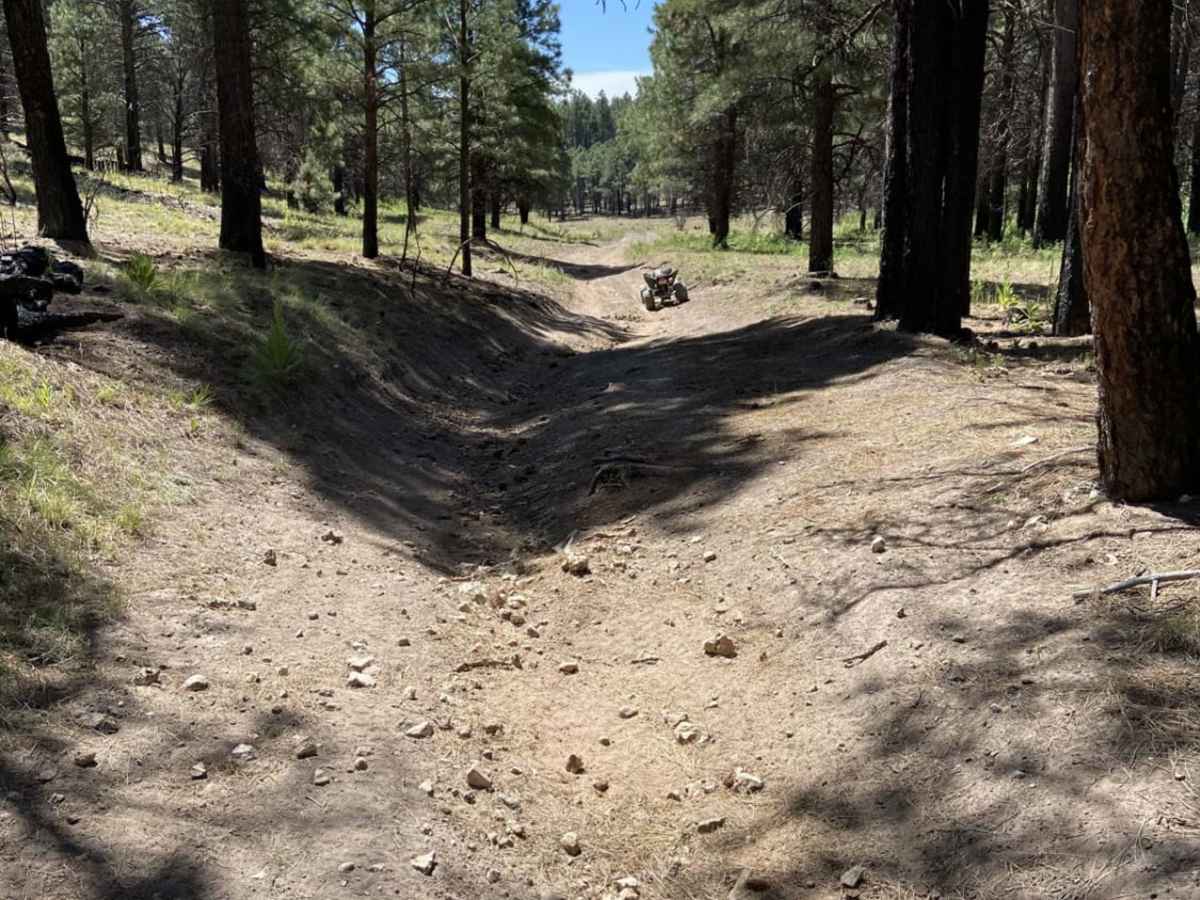
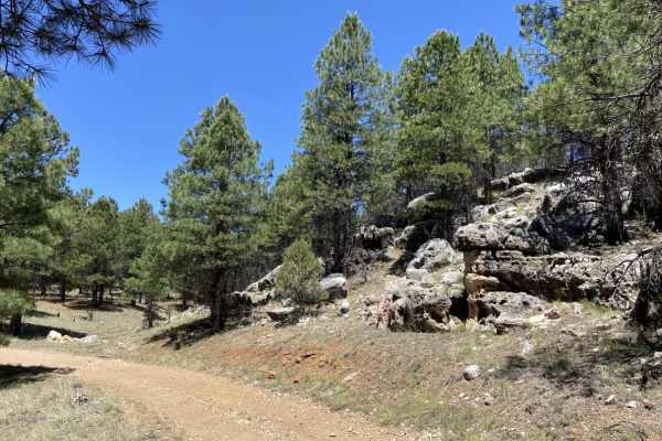
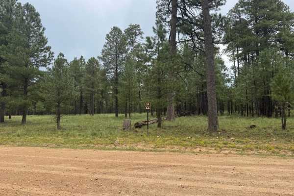
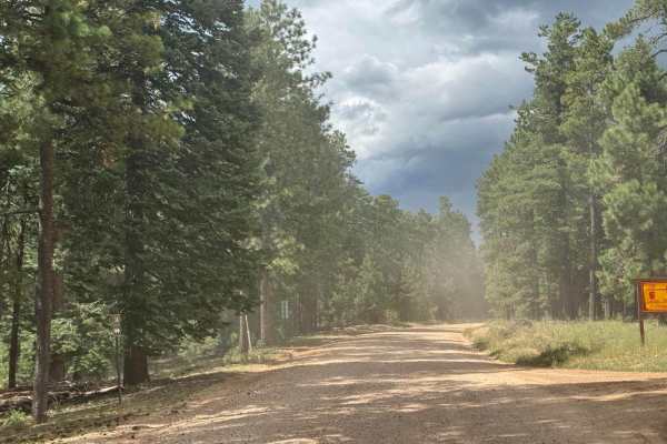
Alder Canyon is a fast, lightly-trafficked four-mile trail in Arizona's Mogollon Rim region that is ideal for side-by-sides, ATVs, and dirt bikes looking for a quick and scenic forest ride. The trail is wide enough to accommodate all vehicle types, making it a versatile option for off-roaders seeking to escape the crowds. Starting near Forest Road 117 near Dye Ridge, the route winds through the scenic corridor of the West Fork and East Fork of Alder Canyon, offering an immersive forest experience. The route features a gentle descent, starting at an elevation of 7,477 feet and dropping to 7,137 feet, with an easy-going flow that allows for a fun, steady pace.
With a mild technical rating of 3, the terrain consists mostly of a dirt surface with flat stretches, though drivers should remain alert for occasional tight spots and fallen trees across the path. The trail leads northward and terminates near a natural spring, providing a peaceful turnaround spot before making the return trip. Its low-traffic nature makes it an excellent choice for riders wanting a peaceful, low-stress adventure without highly technical obstacles. Visitors can easily combine this route with nearby forest roads and attractions like Deer Lake for a full day of exploring.