Trail Overview
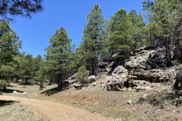
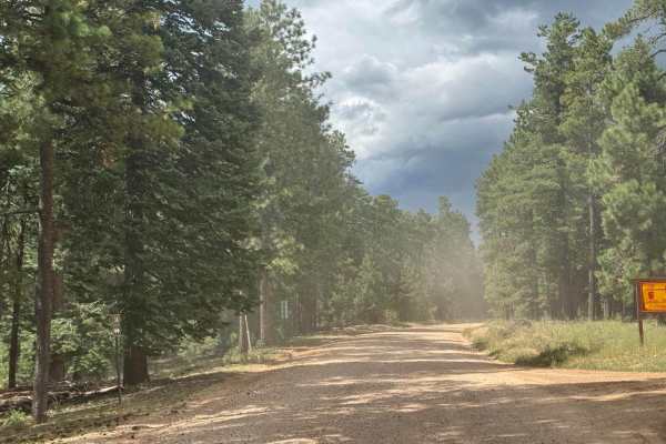
Water Draw Loop is a scenic 2.6-mile off-road trail in the Apache-Sitgreaves National Forests of Arizona, offering a quick and enjoyable forest adventure for riders of all skill levels. This short loop is ideal for four-wheel-drive vehicles, SxSs, and dirt bikes looking to explore the quiet pine country near West Chevelon Creek. Starting at an elevation of approximately 7,390 feet, the trail winds gently through a scenic canopy of ponderosa pines, presenting a mostly flat dirt surface that is easy to navigate. Most of the route is highly accessible, making it a perfect warm-up or a quick side trip when exploring the larger network of forest roads in the area.
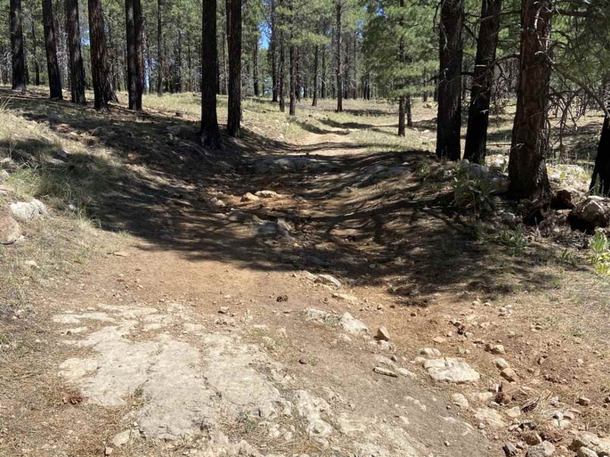
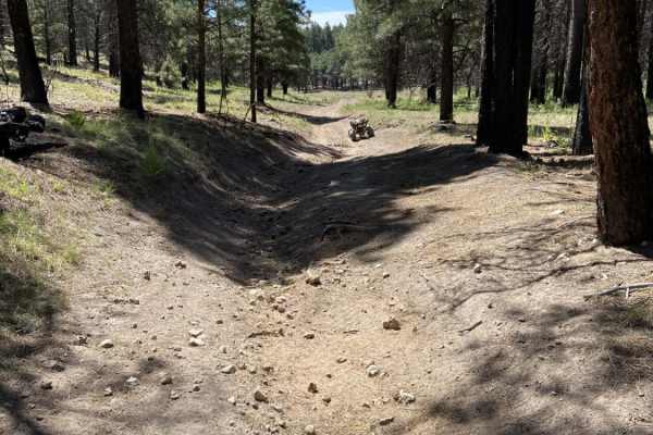
While the majority of the loop is a relaxing cruise, drivers will encounter a moderate hill climb on the eastern portion of the trail that provides a fun challenge. This climb features loose dirt, minor ruts, and a steeper gradient that elevates the technical rating to a 4, requiring a capable four-wheel-drive vehicle, SxS, or high-clearance vehicle to negotiate smoothly. The loop dips to a minimum elevation of around 7,175 feet near Waters Draw before climbing back up to connect with Forest Road 100 (West Chevelon Road). This route is best visited from late spring through autumn, as winter weather can bring heavy snow to these high-altitude ponderosa pine forests, leading to muddy conditions or seasonal road closures.