Waters Draw

Total Miles0.6
Technical Rating
3Easy
Best TimeSpring, Summer, Fall
Trail TypeFull-Width Road
Accessible By
Open Trail Map

Trail Overview

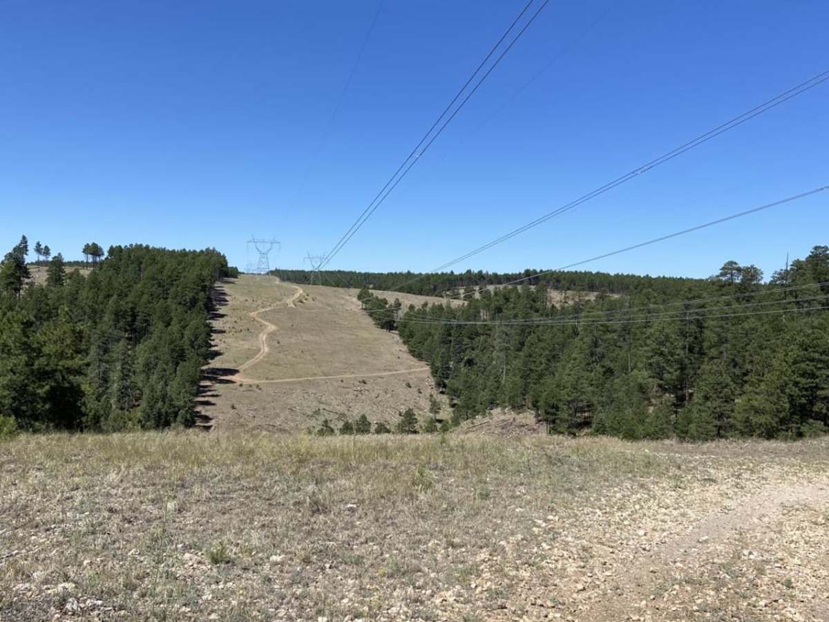
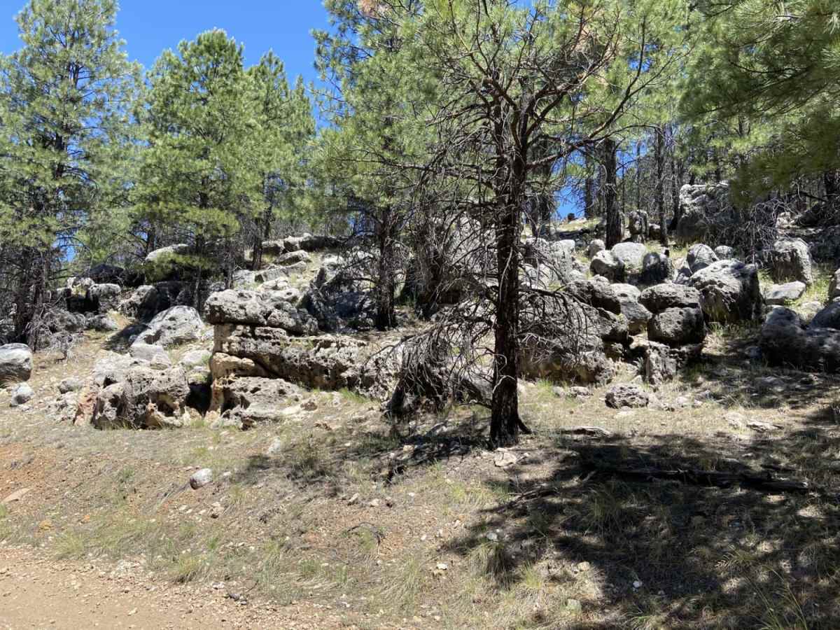
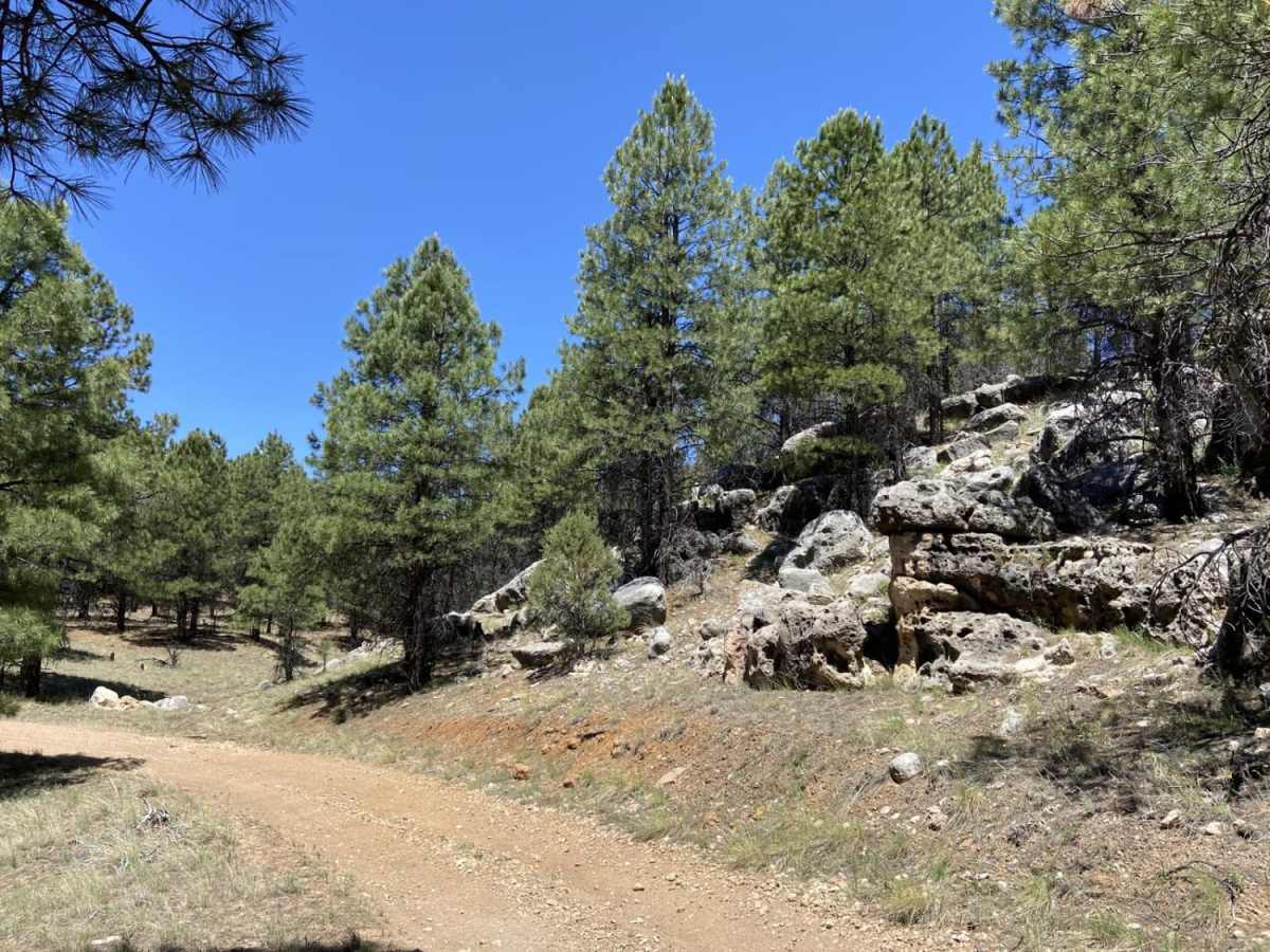
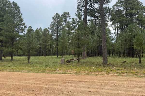
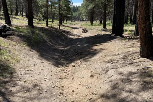
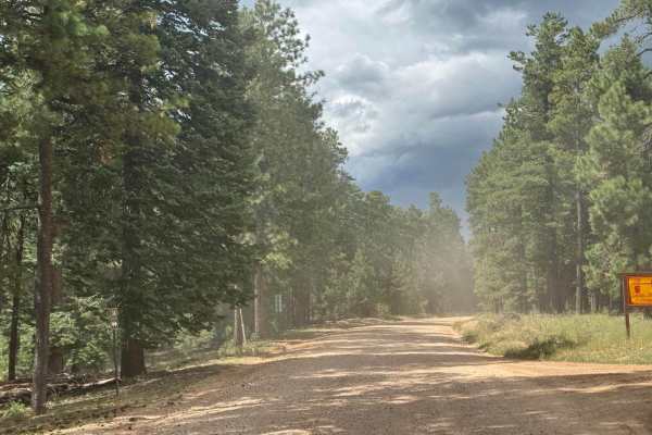
Waters Draw is a scenic, beginner-friendly single-track trail on the Mogollon Rim within the Apache-Sitgreaves National Forests. Spanning just under 0.6 miles, this short dirt-bike route winds through dense pine forests, open power line corridors, and along a large, parallel rocky area. The mostly dirt path features gentle slopes and elevations between 7,198 and 7,327 feet, making it a quick, easy ride with a technical rating of 3. A small loop at one end of the trail introduces a brief, moderate hill climb. Navigable from late spring through autumn, the route serves as an excellent warm-up or detour. Its proximity to the Forest Service road network and camping areas near Woods Canyon Lake makes it a convenient addition to longer rides in the area.

Photos of Waters Draw

Difficulty

Single-track trail with easy grades and quick riding.

Technical Rating

3

Status Reports

Add Status Report
Russell Shaffer
Apr 21, 2025
2024 Ford Maverick
Open
Muddy/WetRough/Deteriorated

Waters Draw Trail can be accessed by the following ride types:

  • Single Track
  • 50 Inch
  • 60 Inch
  • High Clearance
  • Full Width

Access Description

The trail is located within the Apache-Sitgreaves National Forests and is subject to seasonal closures due to winter snow. Motorized vehicles operating on these public lands require a valid Arizona OHV Decal.

Waters Draw Map

The onX Offroad Difference

onX Offroad combines trail photos, descriptions, difficulty ratings, width restrictions, seasonality, and more in a user-friendly interface. Available on all devices, with offline access and full compatibility with CarPlay and Android Auto. Discover what you're missing today!

Open Trail Map