
Dirt Bike Trails
Near Harrah, Washington
Explore All Dirt Bike Trails Near Harrah, Washington
Dirt Bike Trails Near Harrah, Washington
Discover the best dirt bike trails near you. Browse trail maps, check difficulty ratings, and find your next adventure — whether you're looking for a quick ride or an all-day expedition.
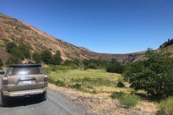
Oak Creek FR 1400 to Bear Lake
From Washington State Highway 12, approximately 2.25 miles from the SR 410/Highway 12 junction, Oak Creek Road (FR 1400) begins traveling west. The road is primarily gravel with patches of larger rocks, potholes, and washboards. Travel speed ascending is slow-going due to the rough nature of the roa...
Learn more about Oak Creek FR 1400 to Bear Lake
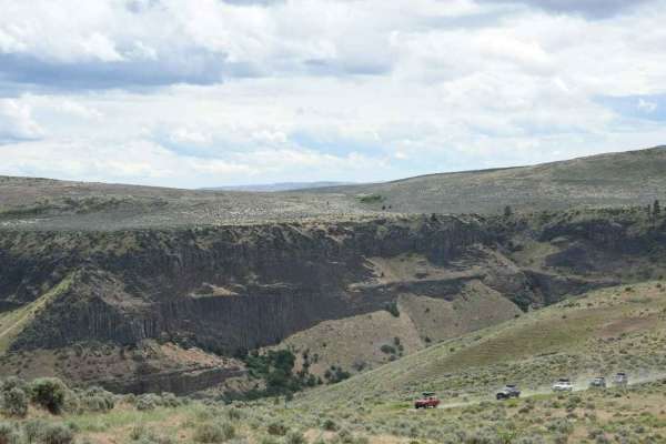
Bethel Ridge Tie Road
Slow going over a rough road of basalt rock. This road rises steeply from roughly 1700' at the Oak Creek Wildlife office off of Highway 12 to over 4000'. There is a seasonal gate at the access point at the bottom. Bethel Ridge itself is snowbound from December to late June or early July. Check Fores...
Learn more about Bethel Ridge Tie Road
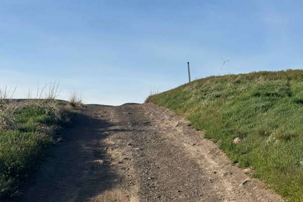
Bell Telephone Road
One lane trail over dirt, deep ruts, loose rock, and bumpy rock garden sections. You will traverse an area that has a 15 percent pitch at one place, and will have a water crossing of a small spring that is approximately 10 inches deep (more if it has recently rained). You drive past an old white cin...
Learn more about Bell Telephone Road
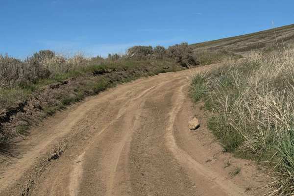
Roza Creek Road
This trail is on Washington Department of Fish and Wildlife-owned land, and a Discover Pass is required to travel in the area. This is a dirt trail that is extremely dusty when dry and a muddy slog when wet. There are ruts approximately 12-18 inches deep that you must straddle, and there are areas w...
Learn more about Roza Creek Road
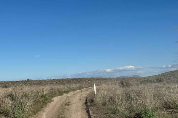
Buffalo Ridge Road
This trail is mostly dirt with some rock garden sections and minor wash/ruts. The trail steadily climbs to the top of a ridge with a 14 percent pitch at one point, but once you make it to the top of the ridge, the views are stunning. This trail ends at a fence row, and becomes the Skyline Trail, whi...
Learn more about Buffalo Ridge Road
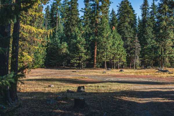
Lost Lake
Lost Lake is an easy gravel road that runs through the Wenatchee National Forest. One of the camping spots has access to a dirt bike trail and is right at Lost Lake, which offers fishing and a couple of places to camp. When I was there the lake had an off smell, maybe someone left a dead fish somewh...
Learn more about Lost Lake
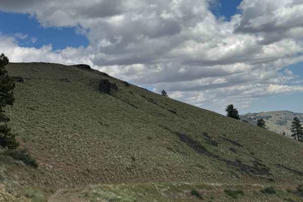
Mud Lake Road
This is a dirt-based road on State of Washington land in the Wenas unit. You can only travel down from Cleman Lookout Road and must return that way, as there is no exit to Highway 12 due to a Private Road and a locked gate by the lake. The trail has a steady and sometimes steep decline with a total ...
Learn more about Mud Lake Road
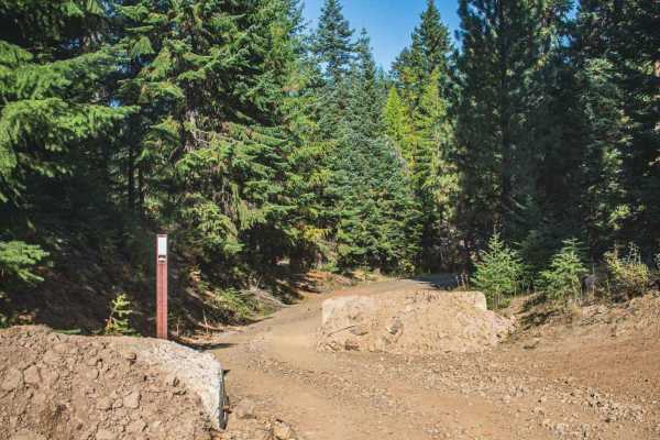
Fish Creek
Fish Creek is an overall easy gravel road, that runs through the Wenatchee National Forest. A section of it has been blocked off for larger vehicles as there is a short section that gets tight and off-camber that is recommended for a four-wheel drive high clearance vehicle only. The road has access ...
Learn more about Fish Creek
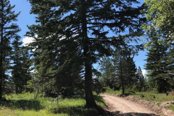
Bethel Ridge Road East
This trail offers incredible views of surrounding valleys and hills. It is relatively well maintained with a mix of gravel and medium sharp rocks. The west end of the trail becomes a narrow, rough and windy path through the trees. Be prepared to clear fallen trees and squeeze between old deadfall. T...
Learn more about Bethel Ridge Road East
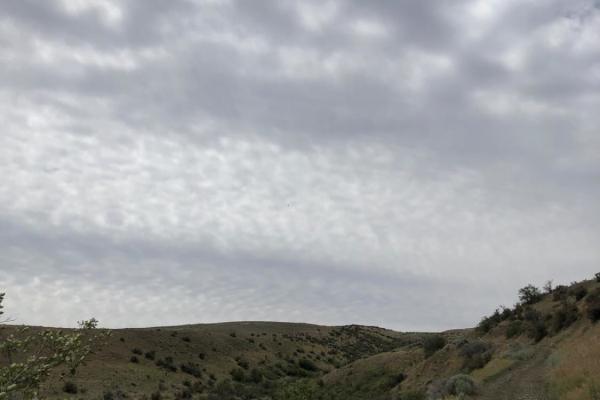
Newlands Road
Newlands Road is a dusty roads with loose rocks. There are some uphill spots where loose rocks could be a problem, however for the most part it is just a dirt road. There are a few rutted areas that can be easily navigated.
Learn more about Newlands Road
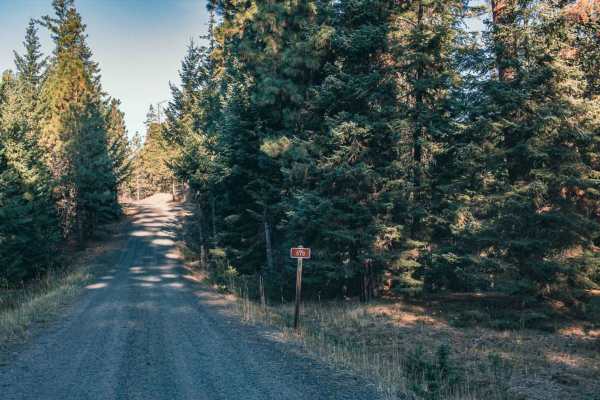
Milk Creek
Milk Creek is an easy gravel road that runs through the Wenatchee National Forest, some sections of the road has spotty cellphone service. There are a couple of camp spots, and some even are big enough for large RV's. Lost lake is also close by which also has camping and fishing right on the lake.
Learn more about Milk Creek
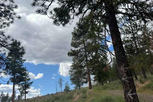
Garrett Canyon Road
This is a dirt-based road on State of Washington land in the Wenas unit. A Discover Pass is required to enjoy this area. The trail is narrow, one lane, and two-track in some areas. There are places to pass, and the road dead ends with no access to Highway 12, so you must backtrack to Mud Lake Road t...
Learn more about Garrett Canyon Road
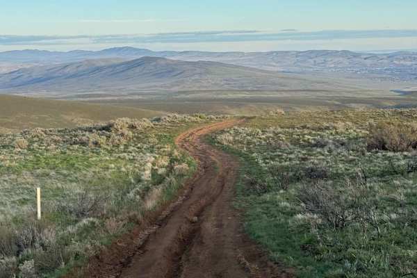
Kelley Hollow Road
This trail begins off the pavement of North Wenas Road, where you’ll find signage, a map, and posted rules. It climbs steadily into the hills, passing through a gate that must be closed behind you.
Wildflowers are often abundant along the route. The trail eventually meets and follows a canyon for a ...
Learn more about Kelley Hollow Road
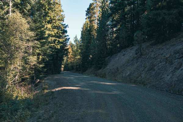
Spencer Creek
Spencer Creek road runs through the Wenatchee National Forest, it is a gravel and natural surface easy road. There are both small and big camping spots along this route, some big enough for 4 or 5 rigs. When the trees clear up you are able to see a mountain peaking in the distance.
Learn more about Spencer Creek
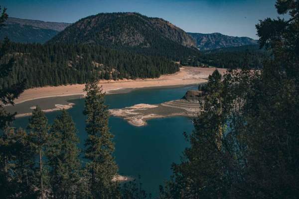
Pine Tree
Pine Tree Road (Forest Road 1241) is an easy 4.2-mile gravel and dirt route in the Okanogan-Wenatchee National Forest. Rising steadily from 2,993 feet to 4,196 feet, the road features gentle gradients and is highly accessible for stock, high-clearance vehicles during the dry season. The drive winds ...
Learn more about Pine Tree
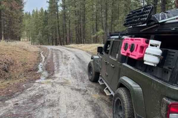
Tieton Pond
Very easy dirt and gravel trail. This is a connector trail from Bethel Ridge and Pinehuas that leads you to Tieton Pond and Campground. From the Bethel Ridge side, it is a gradual ascent that has a creek running along one side. There is one small area where there is a wash section, but it is very mi...
Learn more about Tieton Pond
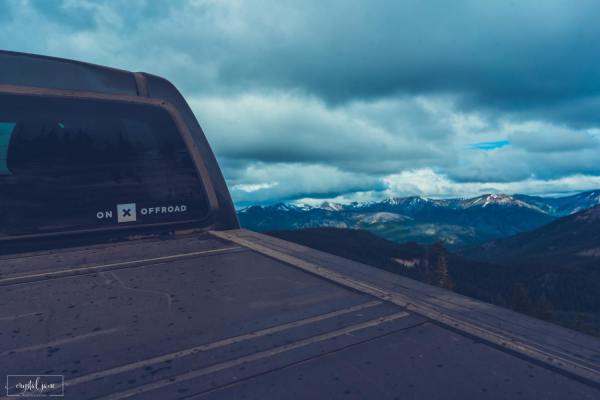
Jones Road
Jones road has a few small obstacles, most of which have been cleared, but may require caution. For the most part, this trail is pretty easy going despite the incline. Snow would make it more difficult. It is a two-way trail, but it's very narrow and only one vehicle wide, so watch out for oncoming ...
Learn more about Jones Road
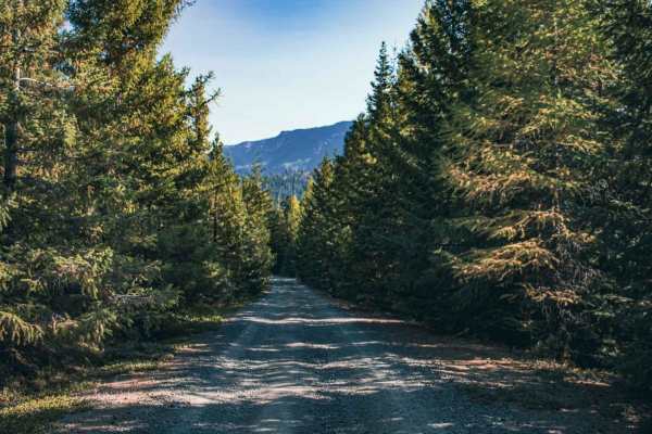
Short and Dirty
Short and Dirty is an easy 3.8-mile gravel route in the Okanogan-Wenatchee National Forest. The trail climbs steadily from 3,032 feet to 4,460 feet through dense forest, offering occasional peek-a-boo views of the Cascade peaks. With a technical rating of 1, the unpaved road is highly accessible to ...
Learn more about Short and Dirty

Oak Creek - NF 1400
Oak Creek - NF 1400 is an approachable, scenic gravel route ideal for beginners and casual offroaders looking to explore the rugged beauty of the Okanogan-Wenatchee National Forest. Connecting Bethel Ridge down to Bear Lake, this 3.9-mile point-to-point road features an easy technical rating of 2 an...
Learn more about Oak Creek - NF 1400
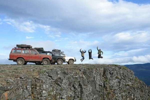
Bethel Ridge Central - NF 325a 4WD
This is the cliffside section of Bethel Ridge. It is the most technical because the road gets bumpy as it transitions from a Forest Service gravel road into rocky basalt and dirt (and often mud). This section alternates between open areas meandering along the cliff with amazing views to tight and tw...
Learn more about Bethel Ridge Central - NF 325a 4WD
ATV trails near Harrah, Washington
Explore ATV-friendly trails near you. These trails are accessible for vehicles up to 50 inches wide, perfect for ATVs and smaller off-road machines.
Oak Creek FR 1400 to Bear Lake
From Washington State Highway 12, approximately 2.25 miles from the SR 410/Highway 12 junction, Oak Creek Road (FR 1400) begins traveling west. The road is primarily gravel with patches of larger rocks, potholes, and washboards. Travel speed ascending is slow-going due to the rough nature of the roa...
Learn more about Oak Creek FR 1400 to Bear Lake
Bethel Ridge Tie Road
Slow going over a rough road of basalt rock. This road rises steeply from roughly 1700' at the Oak Creek Wildlife office off of Highway 12 to over 4000'. There is a seasonal gate at the access point at the bottom. Bethel Ridge itself is snowbound from December to late June or early July. Check Fores...
Learn more about Bethel Ridge Tie Road
Bell Telephone Road
One lane trail over dirt, deep ruts, loose rock, and bumpy rock garden sections. You will traverse an area that has a 15 percent pitch at one place, and will have a water crossing of a small spring that is approximately 10 inches deep (more if it has recently rained). You drive past an old white cin...
Learn more about Bell Telephone Road
Roza Creek Road
This trail is on Washington Department of Fish and Wildlife-owned land, and a Discover Pass is required to travel in the area. This is a dirt trail that is extremely dusty when dry and a muddy slog when wet. There are ruts approximately 12-18 inches deep that you must straddle, and there are areas w...
Learn more about Roza Creek Road
UTV/side-by-side trails near Harrah, Washington
Find UTV and side-by-side trails near you. These trails accommodate vehicles up to 60 inches wide, ideal for UTVs, side-by-sides, and wider off-road rigs.
Oak Creek FR 1400 to Bear Lake
From Washington State Highway 12, approximately 2.25 miles from the SR 410/Highway 12 junction, Oak Creek Road (FR 1400) begins traveling west. The road is primarily gravel with patches of larger rocks, potholes, and washboards. Travel speed ascending is slow-going due to the rough nature of the roa...
Learn more about Oak Creek FR 1400 to Bear Lake
Bethel Ridge Tie Road
Slow going over a rough road of basalt rock. This road rises steeply from roughly 1700' at the Oak Creek Wildlife office off of Highway 12 to over 4000'. There is a seasonal gate at the access point at the bottom. Bethel Ridge itself is snowbound from December to late June or early July. Check Fores...
Learn more about Bethel Ridge Tie Road
Bell Telephone Road
One lane trail over dirt, deep ruts, loose rock, and bumpy rock garden sections. You will traverse an area that has a 15 percent pitch at one place, and will have a water crossing of a small spring that is approximately 10 inches deep (more if it has recently rained). You drive past an old white cin...
Learn more about Bell Telephone Road
Roza Creek Road
This trail is on Washington Department of Fish and Wildlife-owned land, and a Discover Pass is required to travel in the area. This is a dirt trail that is extremely dusty when dry and a muddy slog when wet. There are ruts approximately 12-18 inches deep that you must straddle, and there are areas w...
Learn more about Roza Creek Road
The onX Offroad Difference
onX Offroad combines trail photos, descriptions, difficulty ratings, width restrictions, seasonality, and more in a user-friendly interface. Available on all devices, with offline access and full compatibility with CarPlay and Android Auto. Discover what you're missing today!
Open Trail Map