Bethel Ridge Road East

Total Miles6
Technical Rating
5Moderate
Best TimeSummer, Fall
Trail TypeHigh-Clearance 4x4 Trail
Accessible By
Open Trail Map

Trail Overview

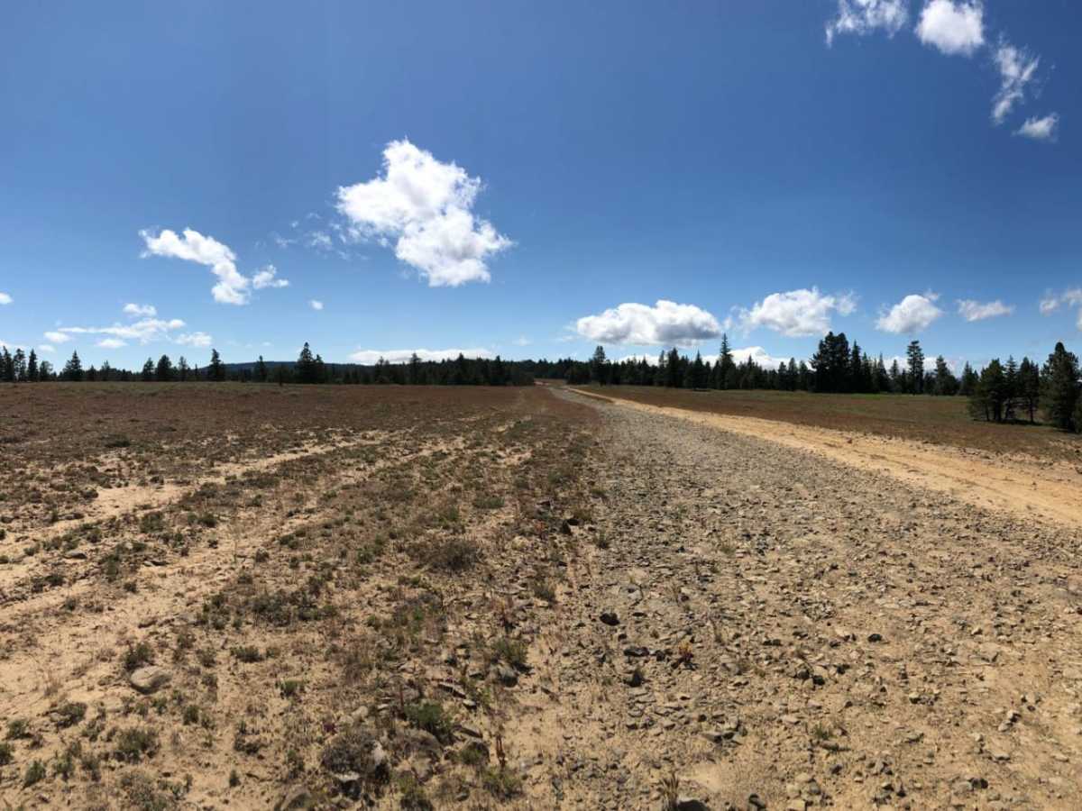
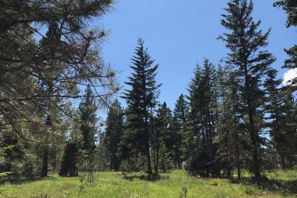
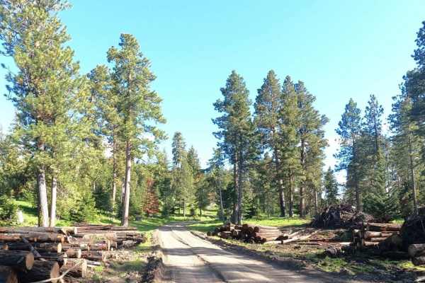
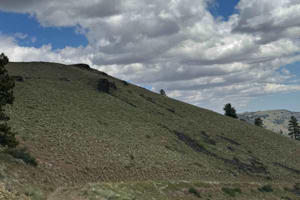
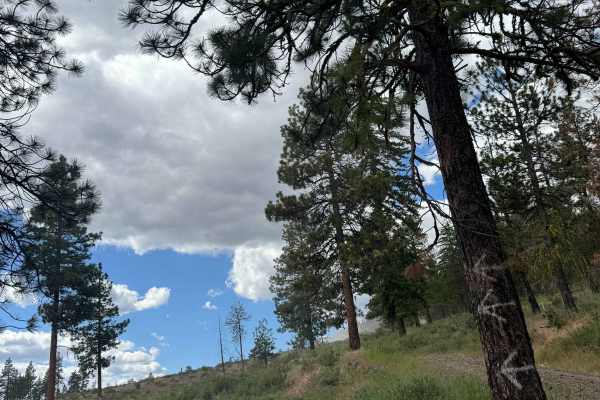
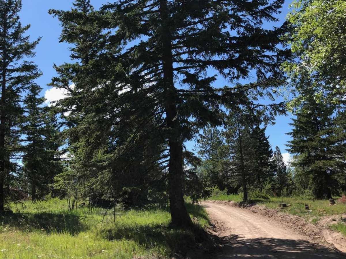
A scenic off-road route along the crest of Bethel Ridge in the Okanogan-Wenatchee National Forest, offering panoramic views of the surrounding valleys and rugged terrain.

Photos of Bethel Ridge Road East

Difficulty

While the eastern 2/3 of the trail are easy, the western 1/3 is highly technical with narrow turns, deep ruts and mud.

History

Bethel Ridge is named after Albert Bethel, an early sheep rancher and settler in the Yakima Valley. The ridge historically hosted a U.S. Forest Service fire lookout tower, established in 1933 to monitor the surrounding Naches Ranger District before being replaced by electronic communication equipment.

Technical Rating

5

Status Reports

Add Status Report
Chunlei Jiang
Sep 01, 2024
2017 Lexus GX
Open
Dusty
Not hard at all, trail was maintained with new gravels. Super easy no obstacles once so ever.
John Bryant
May 31, 2024
2010 Nissan Xterra
Open
NormalDustyMuddy/Wet
Normal conditions, one short muddy section with 2-3 ft deep ruts that can easily be avoided.

Bethel Ridge Road East Trail can be accessed by the following ride types:

  • Single Track
  • 50 Inch
  • 60 Inch
  • High Clearance

Access Description

No permits are required to drive Forest Road 1500, but a Northwest Forest Pass or America the Beautiful Pass is required if parking or camping at designated trailheads or recreation sites. The road is subject to seasonal closures and is typically impassable due to snow from late autumn through late spring.

Bethel Ridge Road East Map

The onX Offroad Difference

onX Offroad combines trail photos, descriptions, difficulty ratings, width restrictions, seasonality, and more in a user-friendly interface. Available on all devices, with offline access and full compatibility with CarPlay and Android Auto. Discover what you're missing today!

Open Trail Map