
Dirt Bike Trails
Near Dugway, Utah
Explore All Dirt Bike Trails Near Dugway, Utah
Dirt Bike Trails Near Dugway, Utah
Discover the best dirt bike trails near you. Browse trail maps, check difficulty ratings, and find your next adventure — whether you're looking for a quick ride or an all-day expedition.
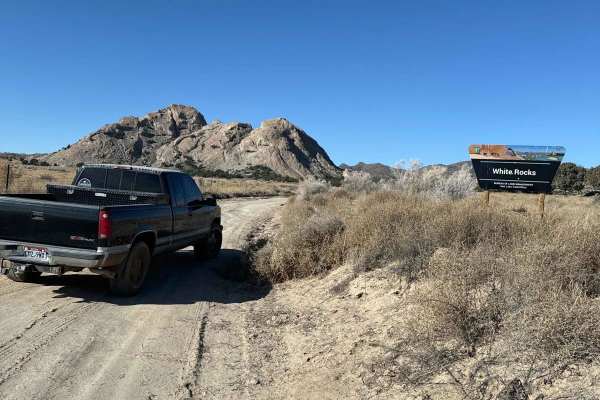
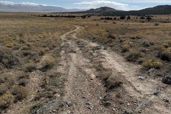
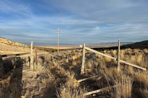
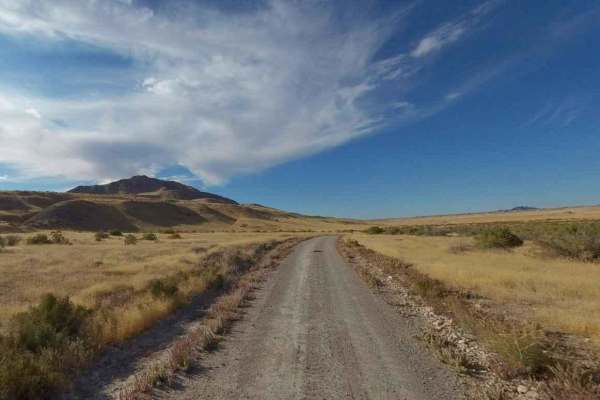
Rydalen Canyon Road to White Rocks
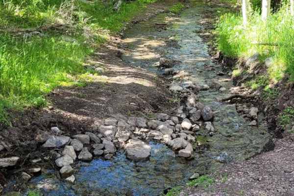
This is a scenic, easy-going dirt road to White Rocks. You'll encounter desert views, awesome granite rock climbing, shooting opportunities, and great camping sites. There is little to no cell reception. The trail can be slippery in the mud. Along this trail, you can find many offshoots and smaller ...
Learn more about Rydalen Canyon Road to White Rocks
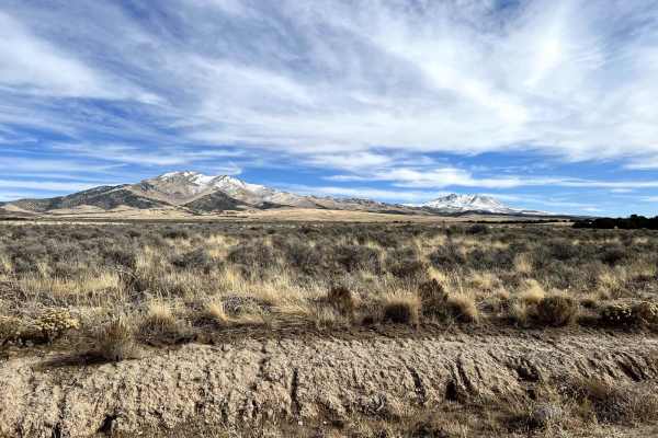
Davis Mountain Pass
This trail runs up and over Davis Mountain. Along the way, you will pass through a wash and many juniper trees. The top of the pass has a beautiful view overlooking the Pony Express route to the south and Dugway to the north. Be on the lookout, as you may spot some of the wild horses and pronghorn i...
Learn more about Davis Mountain Pass
Davis Mountain Loop
This route circles Davis Mountain. These mountains are home to wild horses, mule deer, and antelope. The horses are often found at the base of the hills or in the flats to the northeast. It is an easy-going trail, though there are some spots covered with sagebrush and some dips across drainages. Hi...
Learn more about Davis Mountain Loop
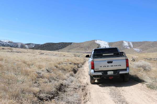
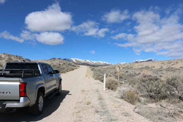
North Erickson Pass Road
This road runs from Dugway to Pony Express Road, is wide and fairly well-maintained, and is generally open year-round. Keep an eye out for wild horses, as they are frequently sighted along this road. It has several spur trails that lead off toward Davis Mountain, springs that the wild horses gather ...
Learn more about North Erickson Pass Road
White Rocks Alternate
This one-lane narrow road is a good option to or from White Rocks if you don't like backtracking the same road that you ride in. Along this trail, you'll have awesome desert views and one slightly rocky section, but nothing a stock truck couldn't handle. It's 10.85 miles one way. Some sections of th...
Learn more about White Rocks Alternate
Ericson Pass Road
The road is one of the main trails to Ericson pass and is generally open year-round. This main trail provides access to many other trails and peaks in the area. May have unavoidable water/mud in wet conditions. The road may be restricted to 4x4 access only, during winter months and during rainy cond...
Learn more about Ericson Pass Road
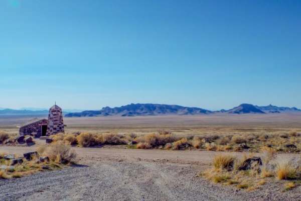
Pony Express Trail Simpson Springs
The Pony Express Trail from Vernon to Simpson Springs is an approachable, history-rich dirt and gravel road perfect for beginner offroaders, overland enthusiasts, and families looking to explore Utah's vast West Desert. Following the historic path of the 1860s mail service, this graded route transit...
Learn more about Pony Express Trail Simpson Springs
Little Mountain Loop
This trail takes you around Little Mountain. The trail starts easy but becomes progressively more difficult as you climb the hill. The central hill is steep and full of rock gardens and loose rocks. Coming down the other side can get complicated if the conditions are not dry. At the end of coming ar...
Learn more about Little Mountain Loop
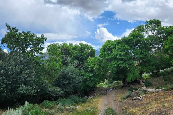
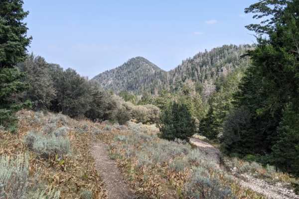
Hickman Canyon Road
This is a nice canyon road for a quick getaway into the mountains. There are a few small water crossings in the late spring and heavy water in the early spring due to runoff. This is a great road for most 4x4 vehicles but a low-clearance car is not recommended up here. The road ends where a dedicate...
Learn more about Hickman Canyon Road
Rush Valley Overlook Loop
Easy loop that leads to Rush Valley overlook. Great views of the valley and surrounding area. The trail is exclusively on BLM land and there are plenty of places to pull off and camp. The overlook itself would make a great campsite. Returning along the fence line is a fun little cruise up and down s...
Learn more about Rush Valley Overlook Loop
Bear Fork
This trail is a little tight with overgrowth and has washed out in the past, but it is still a fairly easy trail. There are some rocks and narrow areas, so a large vehicle is not advised, but you can take it at your own risk. This is a short trail, but it connects Hickman Canyon Road to the singletr...
Learn more about Bear Fork
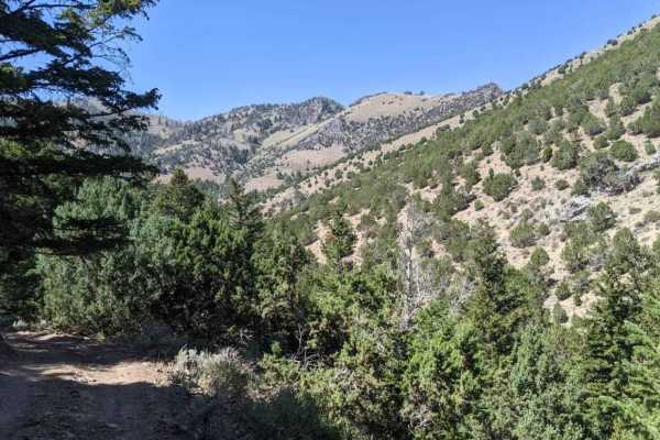
Rydalch pass
This maintained dirt road travels from the east to the west side of the Cedar Mountain Wilderness Area, offering a scenic route through high desert terrain. Along the way, you'll see several offshoot roads that are closed to motorized travel--these are clearly marked, so please respect the restricti...
Learn more about Rydalch pass
Railroad Access Road
This is a short trail that runs alongside the railroad tracks in the 5 Mile Recreation Area. The road is wide enough for passing other vehicles. This trail will lead you to many other offshoots that can take you to lots of other destinations in the area.
Learn more about Railroad Access Road
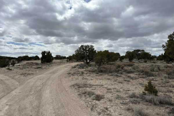
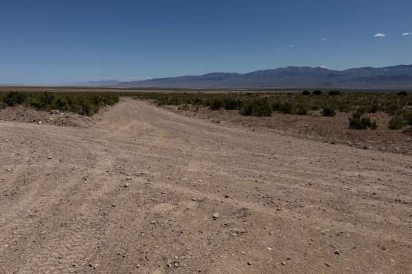
Desert Serenity
Desert Serenity offers a 10-mile journey through the expansive landscapes typical of western Utah's high desert. This trail is characterized by a broad, 2-track path with minimal obstacles and occasional shallow ruts, making it an ideal choice for a peaceful and scenic ride suitable for all skill le...
Learn more about Desert Serenity
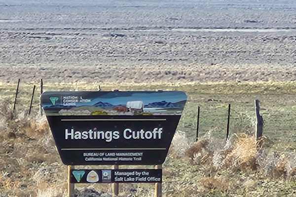
Hastings Cutoff Road
This is the access route to the Ceder Loop/Pass, Hastings Pass, and Rydalch Pass trails. This is a well-maintained road in the summer months with no obstacles. It can be slick when wet, but most of the time in good condition and passable for most vehicles. This gains you access to the South end of t...
Learn more about Hastings Cutoff Road
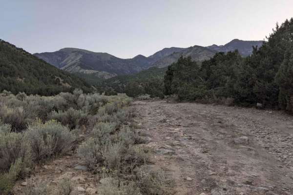
Martin Fork
This is a scenic drive that follows along the edge of a canyon in the high desert of Tooele Valley. Warning: The trail has a lot of tight areas through the brush. It is not recommended to take a full-size vehicle. Scratches are likely. It was tight in a Grand Cherokee. The trail as of this recording...
Learn more about Martin Fork
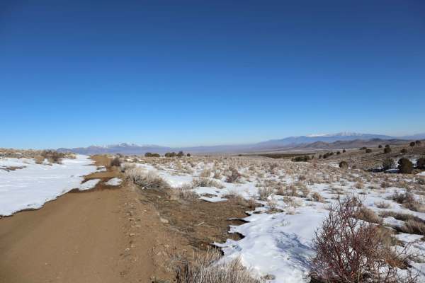
Old River Bed Road-TC02836
Old River Bed Road is a 5.7-mile point-to-point trail rated 2 of 10 in Tooele County. This county-maintained road extends south from Simpson Springs-Callao Road and provides views of Table Mountain and Warehouse Rock. Simpson Springs-Callao Road is part of the historic Pony Express Route between Sal...
Learn more about Old River Bed Road-TC02836
Mining Fork 4x4
This is a scenic drive that follows along a ridgeline in the high desert of Tooele Valley and drops down into a canyon entering the aspen groves. Warning: The trail has a lot of tight areas along cliff sides and through the brush. It is not recommended to take a full-size vehicle. Scratches are like...
Learn more about Mining Fork 4x4
Box Elder Canyon South
This is a scenic drive that follows along a canyon in the high desert of Tooele Valley. Warning: The trail has a lot of tight areas through the brush. It is not recommended to take a full-size vehicle. Scratches are likely. It was tight in a Grand Cherokee. The trail as of this recording is washed o...
Learn more about Box Elder Canyon South
Snow Hollow Loop
This is a smooth, well-maintained road spring through fall with gentle grades. The road will drift and be mostly impassable in the winter. Depending on which way you travel the loop, the route will begin or end with Vernon Reservoir, which is stocked with trout and offers shore fishing or fishing wi...
Learn more about Snow Hollow Loop
ATV trails near Dugway, Utah
Explore ATV-friendly trails near you. These trails are accessible for vehicles up to 50 inches wide, perfect for ATVs and smaller off-road machines.
Rydalen Canyon Road to White Rocks
This is a scenic, easy-going dirt road to White Rocks. You'll encounter desert views, awesome granite rock climbing, shooting opportunities, and great camping sites. There is little to no cell reception. The trail can be slippery in the mud. Along this trail, you can find many offshoots and smaller ...
Learn more about Rydalen Canyon Road to White Rocks
Davis Mountain Pass
This trail runs up and over Davis Mountain. Along the way, you will pass through a wash and many juniper trees. The top of the pass has a beautiful view overlooking the Pony Express route to the south and Dugway to the north. Be on the lookout, as you may spot some of the wild horses and pronghorn i...
Learn more about Davis Mountain Pass
Davis Mountain Loop
This route circles Davis Mountain. These mountains are home to wild horses, mule deer, and antelope. The horses are often found at the base of the hills or in the flats to the northeast. It is an easy-going trail, though there are some spots covered with sagebrush and some dips across drainages. Hi...
Learn more about Davis Mountain Loop
North Erickson Pass Road
This road runs from Dugway to Pony Express Road, is wide and fairly well-maintained, and is generally open year-round. Keep an eye out for wild horses, as they are frequently sighted along this road. It has several spur trails that lead off toward Davis Mountain, springs that the wild horses gather ...
Learn more about North Erickson Pass Road
UTV/side-by-side trails near Dugway, Utah
Find UTV and side-by-side trails near you. These trails accommodate vehicles up to 60 inches wide, ideal for UTVs, side-by-sides, and wider off-road rigs.
Rydalen Canyon Road to White Rocks
This is a scenic, easy-going dirt road to White Rocks. You'll encounter desert views, awesome granite rock climbing, shooting opportunities, and great camping sites. There is little to no cell reception. The trail can be slippery in the mud. Along this trail, you can find many offshoots and smaller ...
Learn more about Rydalen Canyon Road to White Rocks
Davis Mountain Pass
This trail runs up and over Davis Mountain. Along the way, you will pass through a wash and many juniper trees. The top of the pass has a beautiful view overlooking the Pony Express route to the south and Dugway to the north. Be on the lookout, as you may spot some of the wild horses and pronghorn i...
Learn more about Davis Mountain Pass
Davis Mountain Loop
This route circles Davis Mountain. These mountains are home to wild horses, mule deer, and antelope. The horses are often found at the base of the hills or in the flats to the northeast. It is an easy-going trail, though there are some spots covered with sagebrush and some dips across drainages. Hi...
Learn more about Davis Mountain Loop
North Erickson Pass Road
This road runs from Dugway to Pony Express Road, is wide and fairly well-maintained, and is generally open year-round. Keep an eye out for wild horses, as they are frequently sighted along this road. It has several spur trails that lead off toward Davis Mountain, springs that the wild horses gather ...
Learn more about North Erickson Pass Road
The onX Offroad Difference
onX Offroad combines trail photos, descriptions, difficulty ratings, width restrictions, seasonality, and more in a user-friendly interface. Available on all devices, with offline access and full compatibility with CarPlay and Android Auto. Discover what you're missing today!
Open Trail Map