
Dirt Bike Trails
Near Rush Valley, Utah
Explore All Dirt Bike Trails Near Rush Valley, Utah
Dirt Bike Trails Near Rush Valley, Utah
Discover the best dirt bike trails near you. Browse trail maps, check difficulty ratings, and find your next adventure — whether you're looking for a quick ride or an all-day expedition.
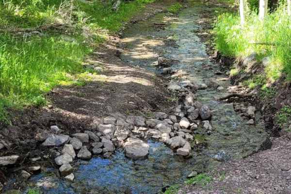
Hickman Canyon Road
This is a nice canyon road for a quick getaway into the mountains. There are a few small water crossings in the late spring and heavy water in the early spring due to runoff. This is a great road for most 4x4 vehicles but a low-clearance car is not recommended up here. The road ends where a dedicate...
Learn more about Hickman Canyon Road
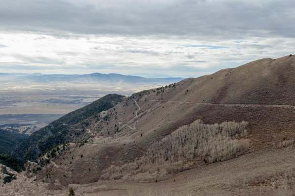
Jacob City Soldier Canyon Loop
Jacob City is a scenic loop with classic Great Basin scenery. The trail passes the historic Jacob City ghost town and then climbs to nearly 10,000 feet before climbing down to Soldier Canyon on a rough and narrow trail. Mine history is scattered throughout.
Learn more about Jacob City Soldier Canyon Loop
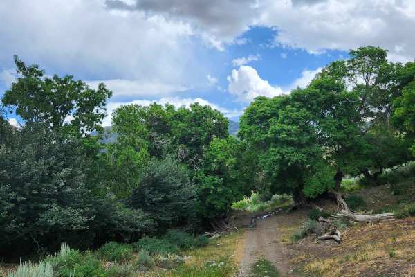
Bear Fork
This trail is a little tight with overgrowth and has washed out in the past, but it is still a fairly easy trail. There are some rocks and narrow areas, so a large vehicle is not advised, but you can take it at your own risk. This is a short trail, but it connects Hickman Canyon Road to the singletr...
Learn more about Bear Fork
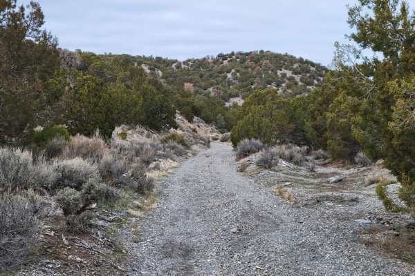
Dip Gulch Road
This trail starts out as easy and unassuming but quickly offers some challenges. Water erosion has created some deep gouges on the trail, making for off-camber sections. The further up trail you travel, the more narrow and less tracked it becomes. If you take a vehicle up there, expect to have veget...
Learn more about Dip Gulch Road
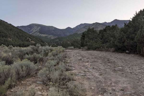
Box Elder Canyon South
This is a scenic drive that follows along a canyon in the high desert of Tooele Valley. Warning: The trail has a lot of tight areas through the brush. It is not recommended to take a full-size vehicle. Scratches are likely. It was tight in a Grand Cherokee. The trail as of this recording is washed o...
Learn more about Box Elder Canyon South
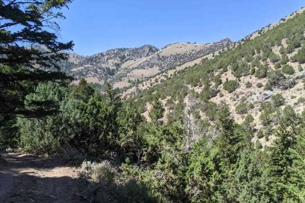
Martin Fork
This is a scenic drive that follows along the edge of a canyon in the high desert of Tooele Valley. Warning: The trail has a lot of tight areas through the brush. It is not recommended to take a full-size vehicle. Scratches are likely. It was tight in a Grand Cherokee. The trail as of this recording...
Learn more about Martin Fork
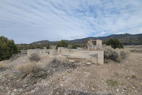
West Mercur Trail
West Mercur Trail is an easy, 2.3-mile dirt route perfect for beginners, scenic cruisers, and those looking to access the historic mining region of Tooele County. Connecting State Route 73 to the Mercur Canyon Road, this trail offers sweeping desert views overlooking the scenic Tooele Valley. Driver...
Learn more about West Mercur Trail
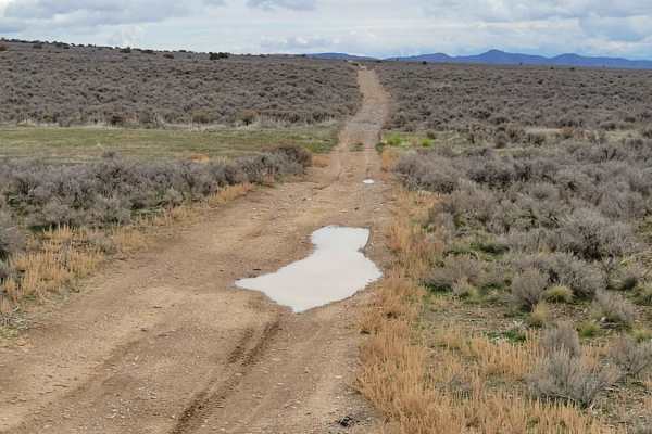
Pack Trail 1
Pack Trail 1 is an easy, 2.7-mile dirt route in the Fivemile Pass recreation area, perfect for beginners and connecting to nearby trails. Winding across the hillside with sweeping valley views, the trail maintains a gentle grade between 5,459 and 5,594 feet of elevation, gaining just 150 feet. It is...
Learn more about Pack Trail 1
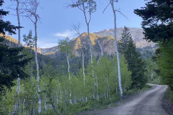
South Willow Canyon
This is a scenic drive that follows South Willow Creek, leaving the high desert of Tooele Valley and entering the aspen groves. There are 4 campgrounds along this road. The majority of the campgrounds are along the stream or within the scenic forest. This area is particularly gorgeous during the fal...
Learn more about South Willow Canyon
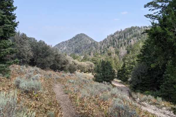
Mining Fork 4x4
This is a scenic drive that follows along a ridgeline in the high desert of Tooele Valley and drops down into a canyon entering the aspen groves. Warning: The trail has a lot of tight areas along cliff sides and through the brush. It is not recommended to take a full-size vehicle. Scratches are like...
Learn more about Mining Fork 4x4
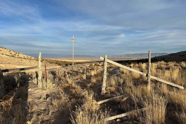
Railroad Access Road
This is a short trail that runs alongside the railroad tracks in the 5 Mile Recreation Area. The road is wide enough for passing other vehicles. This trail will lead you to many other offshoots that can take you to lots of other destinations in the area.
Learn more about Railroad Access Road
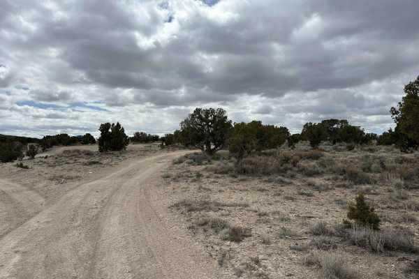
Desert Serenity
Desert Serenity offers a 10-mile journey through the expansive landscapes typical of western Utah's high desert. This trail is characterized by a broad, 2-track path with minimal obstacles and occasional shallow ruts, making it an ideal choice for a peaceful and scenic ride suitable for all skill le...
Learn more about Desert Serenity
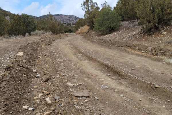
Sunshine Canyon Trail
Sunshine Canyon Trail serves as an easy and highly accessible gateway into the Fivemile Pass recreation area, making it perfect for beginners, stock high-clearance vehicles, and SxSs looking to climb into the surrounding hills. Spanning approximately 2.4 miles with a mild elevation gain of around 66...
Learn more about Sunshine Canyon Trail
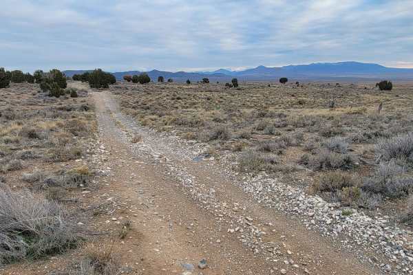
Pack Trail 2
This short trail connects between the Sunshine Canyon Trail and Rattlesnake Canyon Trail. This trail is a bit interesting, with plenty of rolling dips and small erosion ruts on the trail. Water/Mud holes may be present during wet conditions. There is a tight spot between two juniper trees if you're ...
Learn more about Pack Trail 2
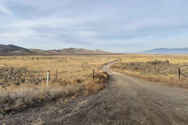
Dougway Geode Beds Raptor Run
This is a short 5-mile off-shoot from the Dougway Geode Beds trail. It is a 2-track trail that loops through the sagebrush. There are a few mud holes along the route along with some sagebrush pinstriping, but nothing major. Just take care of where you're driving.
Learn more about Dougway Geode Beds Raptor Run
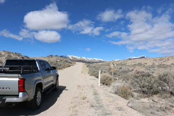
Rush Valley Overlook Loop
Easy loop that leads to Rush Valley overlook. Great views of the valley and surrounding area. The trail is exclusively on BLM land and there are plenty of places to pull off and camp. The overlook itself would make a great campsite. Returning along the fence line is a fun little cruise up and down s...
Learn more about Rush Valley Overlook Loop
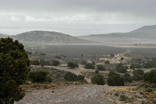
Juniper Pack Trail
This trail continues the pack trail, but it begins to be surrounded by more juniper trees. It consists of rolling hills, small whoops, and some ruts. There are a few rocky sections, but they are not going to limit many cars from being able to complete the trail. The ruts are the only difficult secti...
Learn more about Juniper Pack Trail
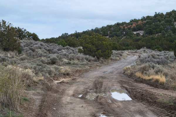
Bit of Both
This is a very short route that connects from one set of trails to another. Water/mud holes may be present on the trail in wet conditions. A section has been rutted due to water erosion and may cause the vehicle to be off-camber at times. There is a grated mine shaft about halfway, off to the west s...
Learn more about Bit of Both
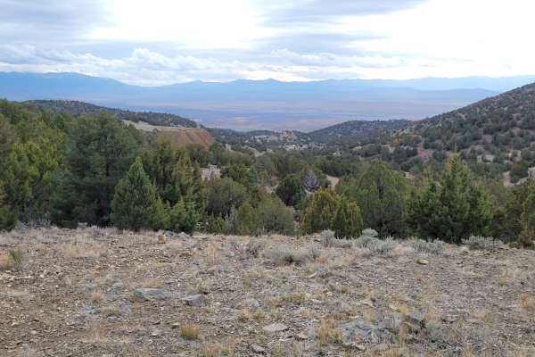
Wayne's Neighbor
This short route connects to several other trails in the area, including the infamous Wayne's World - notorious for advanced rock crawling and broken rigs. The turn-off for this area is just East of the towering mine tailings the trail passes by. It seemed a tractor had grated down the bottom portio...
Learn more about Wayne's Neighbor
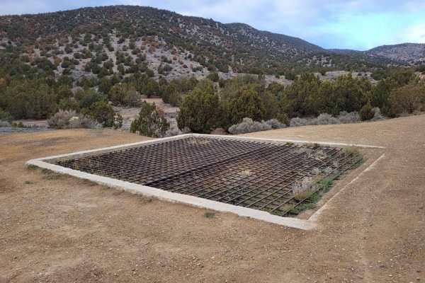
Rattlesnake Canyon
Rattlesnake Canyon is an exciting, moderately challenging route for intermediate offroaders, four-wheel-drive vehicles, and SxSs looking to test their skills on technical terrain with historical mining ruins. Located in the popular Fivemile Pass recreation area, this 1.8-mile trail climbs 606 feet t...
Learn more about Rattlesnake Canyon
ATV trails near Rush Valley, Utah
Explore ATV-friendly trails near you. These trails are accessible for vehicles up to 50 inches wide, perfect for ATVs and smaller off-road machines.
Hickman Canyon Road
This is a nice canyon road for a quick getaway into the mountains. There are a few small water crossings in the late spring and heavy water in the early spring due to runoff. This is a great road for most 4x4 vehicles but a low-clearance car is not recommended up here. The road ends where a dedicate...
Learn more about Hickman Canyon Road
Jacob City Soldier Canyon Loop
Jacob City is a scenic loop with classic Great Basin scenery. The trail passes the historic Jacob City ghost town and then climbs to nearly 10,000 feet before climbing down to Soldier Canyon on a rough and narrow trail. Mine history is scattered throughout.
Learn more about Jacob City Soldier Canyon Loop
Bear Fork
This trail is a little tight with overgrowth and has washed out in the past, but it is still a fairly easy trail. There are some rocks and narrow areas, so a large vehicle is not advised, but you can take it at your own risk. This is a short trail, but it connects Hickman Canyon Road to the singletr...
Learn more about Bear Fork
Dip Gulch Road
This trail starts out as easy and unassuming but quickly offers some challenges. Water erosion has created some deep gouges on the trail, making for off-camber sections. The further up trail you travel, the more narrow and less tracked it becomes. If you take a vehicle up there, expect to have veget...
Learn more about Dip Gulch Road
UTV/side-by-side trails near Rush Valley, Utah
Find UTV and side-by-side trails near you. These trails accommodate vehicles up to 60 inches wide, ideal for UTVs, side-by-sides, and wider off-road rigs.
Hickman Canyon Road
This is a nice canyon road for a quick getaway into the mountains. There are a few small water crossings in the late spring and heavy water in the early spring due to runoff. This is a great road for most 4x4 vehicles but a low-clearance car is not recommended up here. The road ends where a dedicate...
Learn more about Hickman Canyon Road
Jacob City Soldier Canyon Loop
Jacob City is a scenic loop with classic Great Basin scenery. The trail passes the historic Jacob City ghost town and then climbs to nearly 10,000 feet before climbing down to Soldier Canyon on a rough and narrow trail. Mine history is scattered throughout.
Learn more about Jacob City Soldier Canyon Loop
Bear Fork
This trail is a little tight with overgrowth and has washed out in the past, but it is still a fairly easy trail. There are some rocks and narrow areas, so a large vehicle is not advised, but you can take it at your own risk. This is a short trail, but it connects Hickman Canyon Road to the singletr...
Learn more about Bear Fork
Dip Gulch Road
This trail starts out as easy and unassuming but quickly offers some challenges. Water erosion has created some deep gouges on the trail, making for off-camber sections. The further up trail you travel, the more narrow and less tracked it becomes. If you take a vehicle up there, expect to have veget...
Learn more about Dip Gulch Road
The onX Offroad Difference
onX Offroad combines trail photos, descriptions, difficulty ratings, width restrictions, seasonality, and more in a user-friendly interface. Available on all devices, with offline access and full compatibility with CarPlay and Android Auto. Discover what you're missing today!
Open Trail Map