Trail Overview
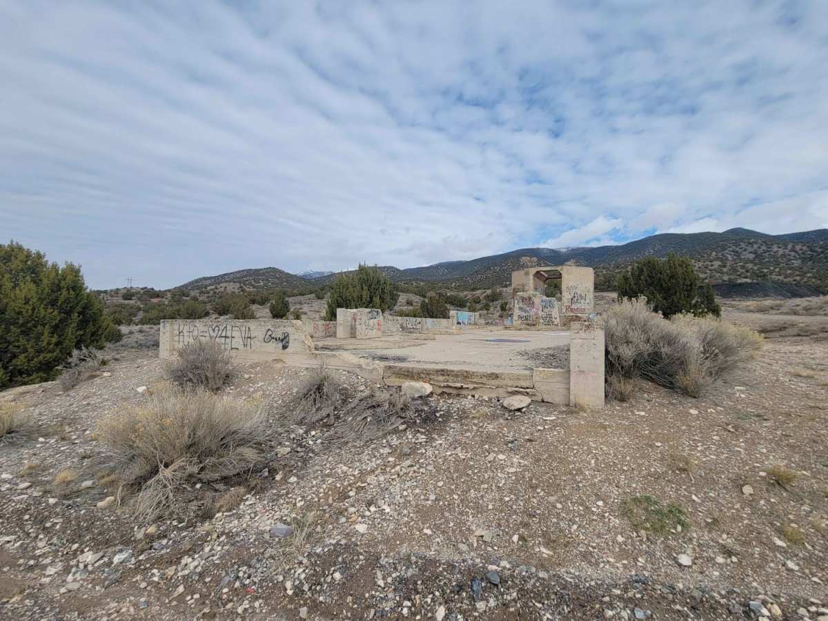
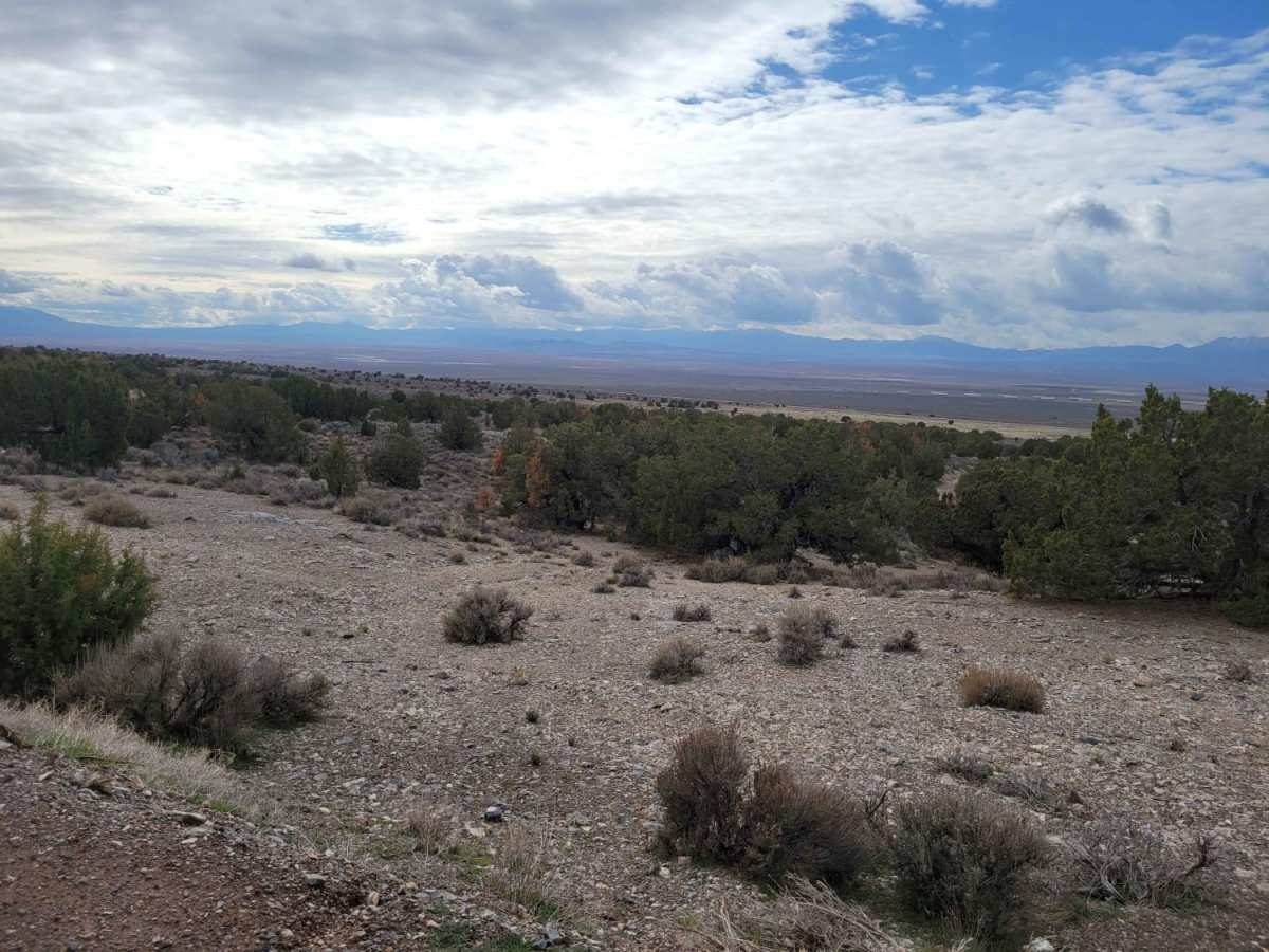
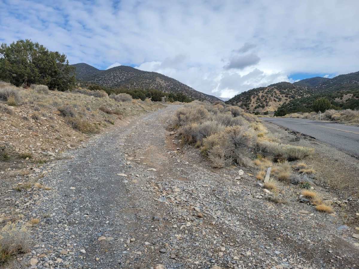
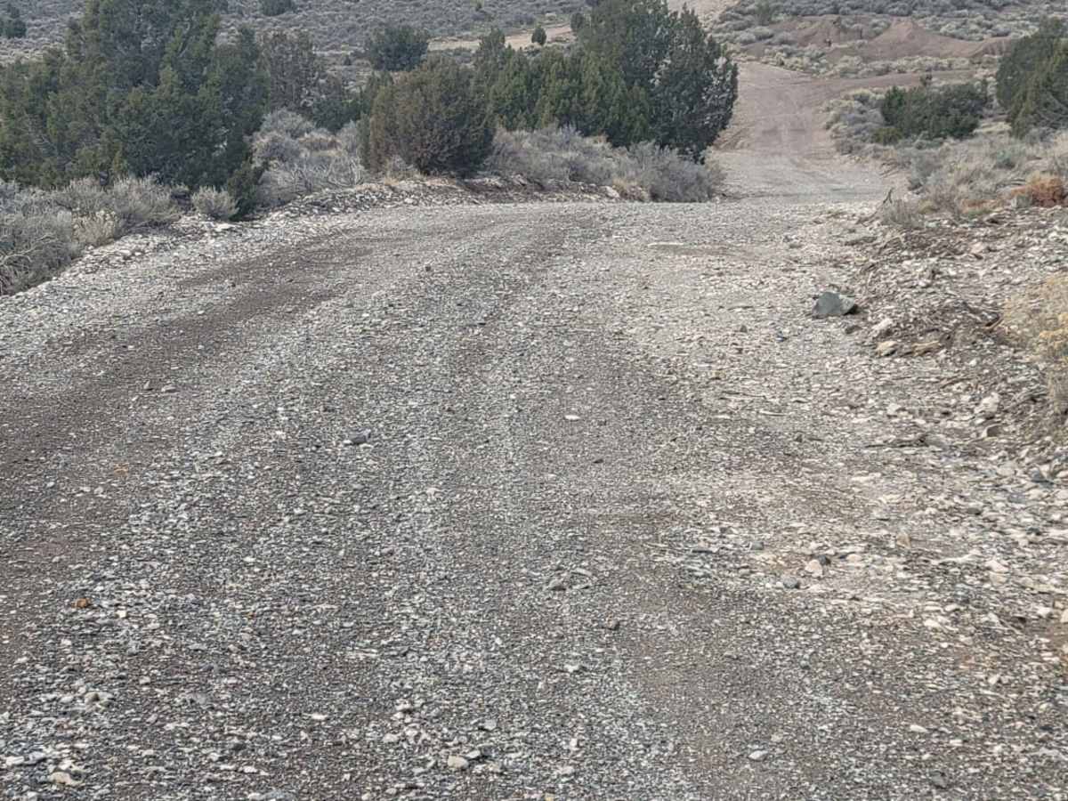
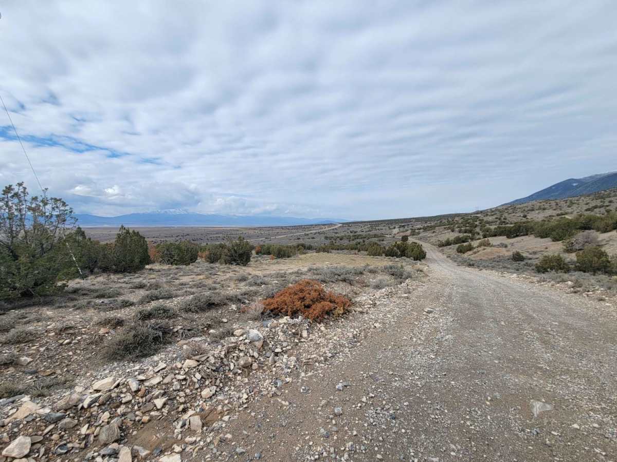
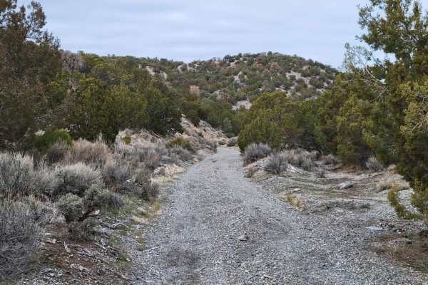
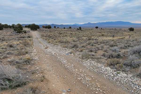
West Mercur Trail is an easy, 2.3-mile dirt route perfect for beginners, scenic cruisers, and those looking to access the historic mining region of Tooele County. Connecting State Route 73 to the Mercur Canyon Road, this trail offers sweeping desert views overlooking the scenic Tooele Valley. Drivers of high-clearance four-wheel-drive vehicles, SxSs, and standard crossover SUVs will find the hard-packed dirt surface highly approachable, with only a mild technical rating of 2. The route features very gradual elevation changes, ranging from a minimum of 5,588 feet to a maximum of 5,807 feet, making for a relaxed drive with a net elevation loss of approximately 217 feet. Along the way, travelers will notice primitive campsites ideal for an overnight stay under the stars, as well as remnants of an old building just off the trail.
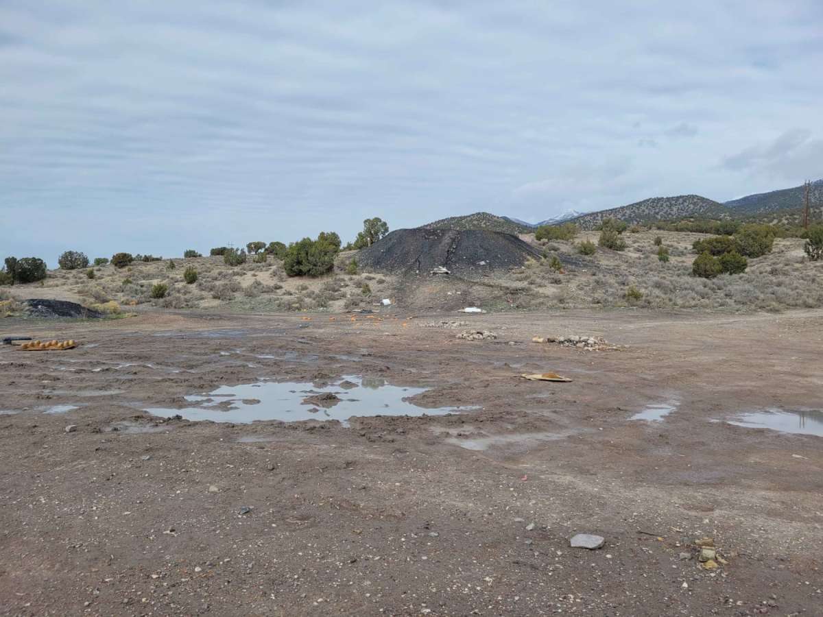
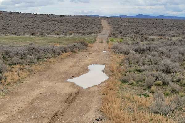
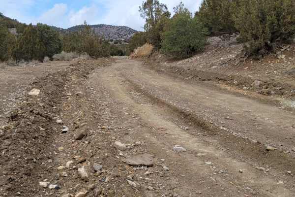
While the trail is generally smooth and easy, offroaders should keep an eye out for minor water erosion damage and washouts along the shoulders of the road. There are a couple of active target shooting areas located along this route, so drivers should remain alert and are strongly encouraged to pack out any trash to keep the public lands clean. This trail serves as a gateway to the historic ghost town of Mercur, which flourished as one of Utah's first hard rock mining districts in 1893 and once housed over 5,000 residents before being devastated by a fire in 1902. Today, the trail provides key access for recreationalists exploring the western foothills of the Oquirrh Mountains.
History
Mercur was established as one of Utah's first hard rock mining districts in 1893. The town quickly grew to a population of over 5,000 residents during its mining boom. In 1902, a major fire devastated the town, and it was never fully rebuilt. The last active mining operations closed down by 1913, leaving behind a ghost town.

 Offroad