
Dirt Bike Trails
Near Delight, Arkansas
Explore All Dirt Bike Trails Near Delight, Arkansas
Dirt Bike Trails Near Delight, Arkansas
Discover the best dirt bike trails near you. Browse trail maps, check difficulty ratings, and find your next adventure — whether you're looking for a quick ride or an all-day expedition.
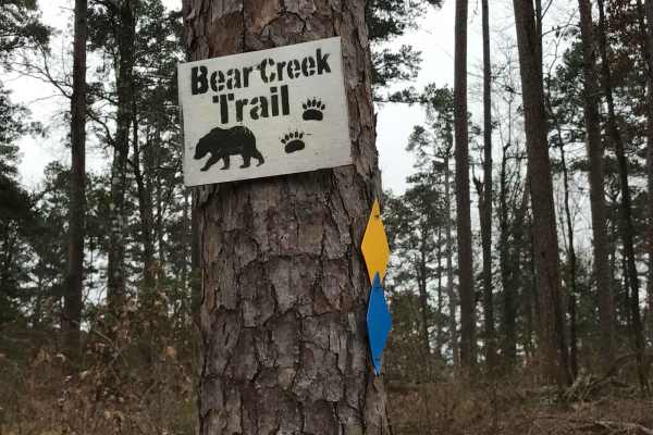
Bear Creek Trail
Bear Creek Trail is an exceptional offroad trail designed primarily for ATVs and dirt bikes looking to tackle rugged shoreline terrain with scenic views of Lake Greeson and the Ouachita Mountains. This specific 6.3-mile point-to-point segment begins at Daisy State Park and winds along the pine and o...
Learn more about Bear Creek Trail
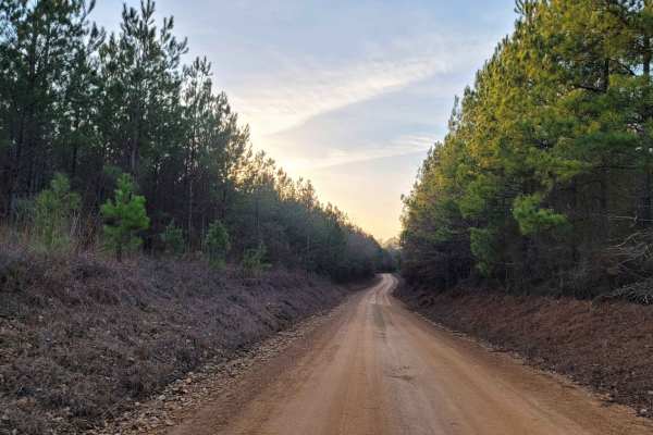
Country Route to White Oak Lake Group Campsite
This is a gravel and dirt road that leads to an awesome group campsite on White Oak Lake. A permit can be found online to camp in this free Poison Springs Forest. There are several campsites in this area. This particular campsite is on a hill right beside White Oak Lake. The later part of this route...
Learn more about Country Route to White Oak Lake Group Campsite
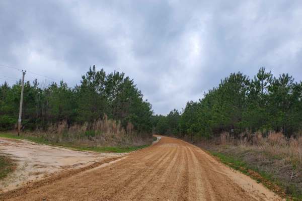
Highway 24 to Poison Springs WMA
This is a dirt and gravel road south of Highway 24. This road goes into the Poison Spring WMA. A camping permit is required and is free at the Poison Springs WMA website. This road can be slippery when wet. Some mild water crossings can be present during and after rains. Watch for wildlife crossing ...
Learn more about Highway 24 to Poison Springs WMA

Poison Springs WMA - Campsite C-10 to C-29 and C-54
This dirt and gravel road takes you to dispersed campsites within the Poison Springs WMA area. Camping permits are required and are free at Poison Springs WMA website. Roads can be slick, and water crossing can be found after rains. Watch for wildlife to cross roads. There are creeks in the area.
Learn more about Poison Springs WMA - Campsite C-10 to C-29 and C-54
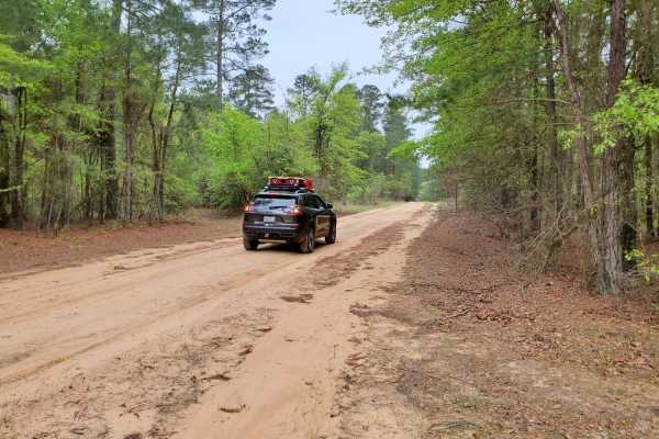
Primitive Camp and Shooting Range in Poison Springs WMA
White Oak State Park is a great place to stay while you explore the Poison Springs WMA. If you want full hookups and restrooms while you camp. While at White Oak State Park, ask the visitor center for a map to "The Little Grand Canyon." A must-see while in the area. You are close to the state park h...
Learn more about Primitive Camp and Shooting Range in Poison Springs WMA
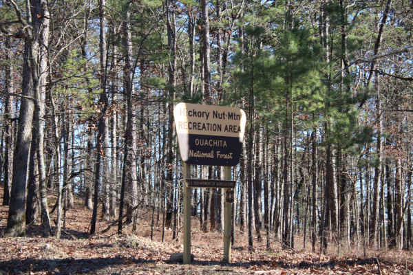
Hickory Nut Mountain
This maintained Gravel road goes up to Hickory Nut Vista Lookout. As you travel to the vista you will pass Hickory Nut Campground on the left side of the road. This is a dispersed campground with a pit toilet, picnic tables, and a fire ring. Awesome views of Lake Ouachita can be seen. This road does...
Learn more about Hickory Nut Mountain
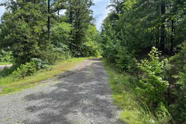
Hamilton Creek
Hamilton Creek is a short out-and-back forest route branching off Gaston Road. The route travels through a dense pine forest with narrow corridors, young timber growth, and thick brush that creates a secluded backcountry feel. While there are no major obstacles or technical challenges, the trail off...
Learn more about Hamilton Creek
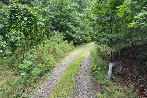
Harvey
This spur route branches off of Hamilton Creek and quickly transitions into a more remote forest setting. Unlike the surrounding gravel roads, this trail is primarily dirt-based with scattered gravel and natural forest debris, giving it a more primitive feel. The route winds through a mixture of har...
Learn more about Harvey
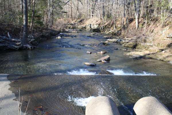
Pipe Spring
This road leaves Hickory Nut Road at the west end and the east end stops at Crystal Springs Resort entrance. Across the main road is a public boat ramp with restrooms and great views of Lake Ouachita. There are nice dispersed campsites along this road. Awesome creek-side camping and group-sized disp...
Learn more about Pipe Spring
Mullins Loop
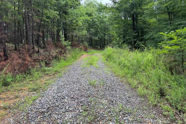
This forest road offers a more rugged experience than the surrounding trail network. While still relatively easy to navigate, the route receives less maintenance and has a noticeably more overgrown character. Grass and other vegetation grow between the tire tracks, and brush frequently encroaches on...
Learn more about Mullins Loop
313 Road
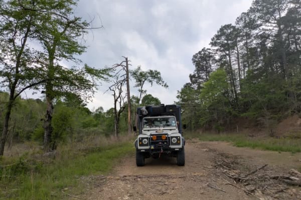
This trail offers a pleasant drive that begins in a healthy, mature forest and gradually climbs into areas of newer forest growth. The route is winding and includes several gentle ascents and descents, with patches of loose gravel that may require careful driving in places. After an intersection, th...
Learn more about 313 Road
31867
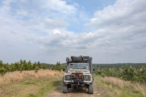
This trail is a scenic dual track that winds through forested terrain and features occasional rocky sections, gentle ascents, and descents. It passes through areas of logged forest and requires multiple stream crossings without bridges, which can become hazardous during or after heavy rain. A single...
Learn more about 31867
514200
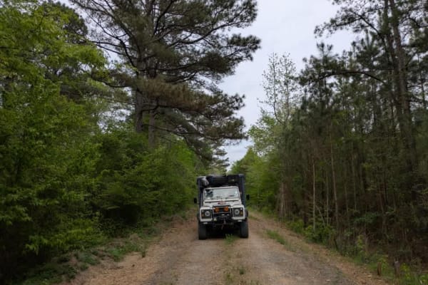
This trail is a relatively narrow, unmaintained dual track with a rocky surface, but it is easy and enjoyable to drive as it winds through dense forest. At the end of the trail, there is a possible dispersed campsite, along with a continuation into a tighter, narrower route that is best suited to co...
Learn more about 514200
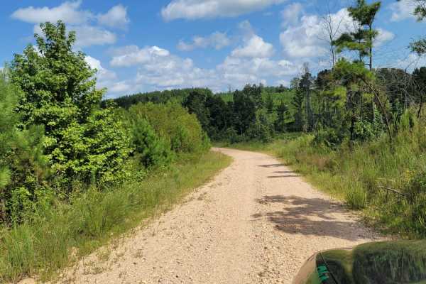
Road 263 to HWY342
Road 263 to HWY342 is an easy 6.8-mile gravel connector near Dierks, Arkansas, offering a scenic drive through the rolling pine and hardwood forests of the region. Ideal for beginners and any standard utility vehicle, this route features a technical rating of 1, consisting mostly of flat, loose grav...
Learn more about Road 263 to HWY342
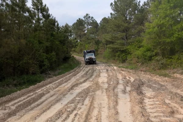
31860
This trail begins as a smooth and enjoyable dual track that winds through a peaceful section of forest, offering a scenic and relaxing drive. However, the surroundings quickly change upon entering a logged area, where heavy machinery has left deep mud ruts that can become especially challenging to n...
Learn more about 31860
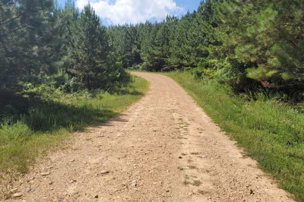
Striking Snake Route
Loose Gravel roads with a few small stream crossings. Concrete bridges cover most of the streams that will be crossed. During heavy rain some areas could be blocked. There are some nice inclines and beautiful views in this area.
Learn more about Striking Snake Route
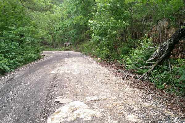
Big Fork Athens Road
Easy Trail to get over on Wolf Pen Gap. Has some areas washed out. Most SUVs should be able to make this with no issue. There is an overlook, and lots of creeks to look at, and 1 small waterfall that is seasonal. Nice spring ride when things are turning green, and a Fall Ride that would have some g...
Learn more about Big Fork Athens Road
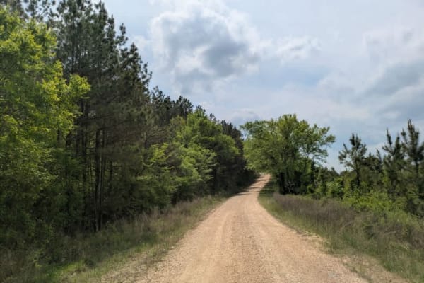
51000
This trail is a well-maintained gravel road with occasional rocky patches that add some variety to the drive without making it difficult. It winds through forested terrain and appears to be popular with hunters, as deer were spotted along the route. The drive is enjoyable and mostly smooth, offering...
Learn more about 51000

Gillham Dam And Cossatot Reefs Campground
Gillham Road is a gravel road that, in some places, can become a rough ride. This adventure leads to Gillham Dam and Cossatot Reefs Campground. There are also a couple of other campgrounds further down the road. The gravel ends at Lake Gillham, which is a nice place to end a day of exploring.
Learn more about Gillham Dam And Cossatot Reefs Campground
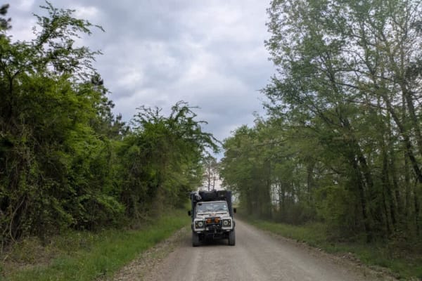
Gillham Lake Road
This trail is a well-maintained, flat gravel road that begins at a paved road and leads to a lake, passing by a smallholding along the way. It continues to wind gently through the forest, offering a peaceful and scenic drive suitable for most vehicles. There are three established campsites at the en...
Learn more about Gillham Lake Road
ATV trails near Delight, Arkansas
Explore ATV-friendly trails near you. These trails are accessible for vehicles up to 50 inches wide, perfect for ATVs and smaller off-road machines.
Bear Creek Trail
Bear Creek Trail is an exceptional offroad trail designed primarily for ATVs and dirt bikes looking to tackle rugged shoreline terrain with scenic views of Lake Greeson and the Ouachita Mountains. This specific 6.3-mile point-to-point segment begins at Daisy State Park and winds along the pine and o...
Learn more about Bear Creek Trail
Country Route to White Oak Lake Group Campsite
This is a gravel and dirt road that leads to an awesome group campsite on White Oak Lake. A permit can be found online to camp in this free Poison Springs Forest. There are several campsites in this area. This particular campsite is on a hill right beside White Oak Lake. The later part of this route...
Learn more about Country Route to White Oak Lake Group Campsite
Hickory Nut Mountain
This maintained Gravel road goes up to Hickory Nut Vista Lookout. As you travel to the vista you will pass Hickory Nut Campground on the left side of the road. This is a dispersed campground with a pit toilet, picnic tables, and a fire ring. Awesome views of Lake Ouachita can be seen. This road does...
Learn more about Hickory Nut Mountain
Hamilton Creek
Hamilton Creek is a short out-and-back forest route branching off Gaston Road. The route travels through a dense pine forest with narrow corridors, young timber growth, and thick brush that creates a secluded backcountry feel. While there are no major obstacles or technical challenges, the trail off...
Learn more about Hamilton Creek
UTV/side-by-side trails near Delight, Arkansas
Find UTV and side-by-side trails near you. These trails accommodate vehicles up to 60 inches wide, ideal for UTVs, side-by-sides, and wider off-road rigs.
Bear Creek Trail
Bear Creek Trail is an exceptional offroad trail designed primarily for ATVs and dirt bikes looking to tackle rugged shoreline terrain with scenic views of Lake Greeson and the Ouachita Mountains. This specific 6.3-mile point-to-point segment begins at Daisy State Park and winds along the pine and o...
Learn more about Bear Creek Trail
Country Route to White Oak Lake Group Campsite
This is a gravel and dirt road that leads to an awesome group campsite on White Oak Lake. A permit can be found online to camp in this free Poison Springs Forest. There are several campsites in this area. This particular campsite is on a hill right beside White Oak Lake. The later part of this route...
Learn more about Country Route to White Oak Lake Group Campsite
Hickory Nut Mountain
This maintained Gravel road goes up to Hickory Nut Vista Lookout. As you travel to the vista you will pass Hickory Nut Campground on the left side of the road. This is a dispersed campground with a pit toilet, picnic tables, and a fire ring. Awesome views of Lake Ouachita can be seen. This road does...
Learn more about Hickory Nut Mountain
Hamilton Creek
Hamilton Creek is a short out-and-back forest route branching off Gaston Road. The route travels through a dense pine forest with narrow corridors, young timber growth, and thick brush that creates a secluded backcountry feel. While there are no major obstacles or technical challenges, the trail off...
Learn more about Hamilton Creek
The onX Offroad Difference
onX Offroad combines trail photos, descriptions, difficulty ratings, width restrictions, seasonality, and more in a user-friendly interface. Available on all devices, with offline access and full compatibility with CarPlay and Android Auto. Discover what you're missing today!
Open Trail Map