
Dirt Bike Trails
Near Chepachet, Rhode Island
Explore All Dirt Bike Trails Near Chepachet, Rhode Island
Dirt Bike Trails Near Chepachet, Rhode Island
Discover the best dirt bike trails near you. Browse trail maps, check difficulty ratings, and find your next adventure — whether you're looking for a quick ride or an all-day expedition.
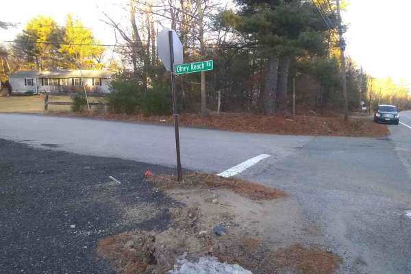
Olney Keach Road
Head down Onley Keach Road and begin once the pavement turns to dirt just after the houses. This trail is a dirt and gravel road. It will loosen your filings and shed parts from your vehicle. The trail's main redeeming value is that it forms the Eastern border of the Northeast Rhode Island Trail Net...
Learn more about Olney Keach Road
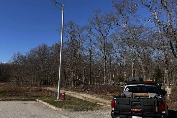
Hanton City Road
Public road that is no longer maintained. Can approach from west off of Decotis Farm Road or from East off of West Reservoir Road. Approaching from Decotis, the road begins at the cul-de-sac. Parts of the road still have remnants of pavement before it was abandoned. The route was dry when mapped and...
Learn more about Hanton City Road
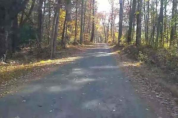
Wakefield Pond & Silver Brook Roads
This trail starts with a "1" rating until you pass the two houses (slowly please), then becomes an upper "3" rating as it is poorly maintained and often muddy until it enters Rhode Island which is better at maintaining it. The trail terminates at the junction of Border Trail and Munyon Trail in the ...
Learn more about Wakefield Pond & Silver Brook Roads
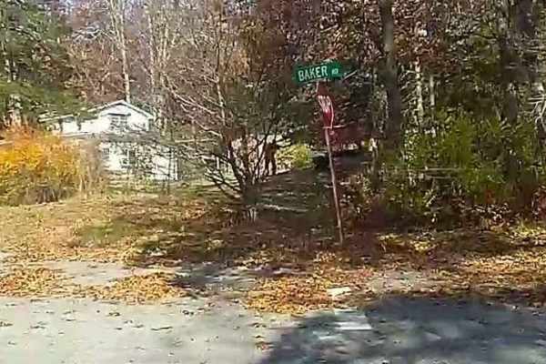
Baker & Cruff Roads
Baker Road starts with a "1" rated car-friendly mixed gravel and paved section. It becomes a "2" rated two-track when it crosses Quaddick Town Farm Road. Most people enter the trail here to avoid houses. As it crosses Wakefield Pond Road it becomes "3" rated (4WD needed), uphill on loose and medium ...
Learn more about Baker & Cruff Roads
Pachaug Enduro Trail
Pachaug Enduro Trail is a classic New England ride best suited for experienced dual-sport and street-legal dirt bike riders looking for a technical, mixed-terrain challenge through dense forest. Winding through Pachaug State Forest in southeastern Connecticut, this loop combines narrow singletrack w...
Learn more about Pachaug Enduro Trail
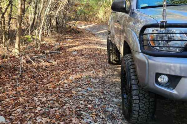
Copicut - Quanapoag Connector
Take a ride through the historically haunted Freetown State Forest with this easy off-road route. The route is on public roads and all vehicles running this trail must be road registered. Trail conditions can vary drastically based on how much rain has fallen, large frost heaves have caused mud hole...
Learn more about Copicut - Quanapoag Connector
Forest Hill Loop East
Forest Hill Loop West in Freetown–Fall River State Forest is a moderately challenging OHV trail built for dirt bike riders who want fast, flowing forest sections mixed with just enough technical terrain to keep things interesting. The trail cuts through dense pine and hardwood forest on mostly flat ...
Learn more about Forest Hill Loop East
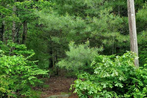
Sully's Way
This track is very overgrown. If you like your paint, don't go down it. It does open up after the beginning, but it's super tight to start with branches all over the sides and top of your rig. The cell service is decent, but the GPS gets a little confused at times. The majority of the track is dirt;...
Learn more about Sully's Way
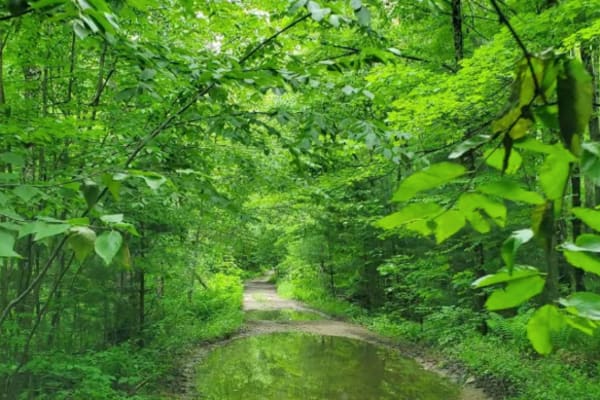
Hampden Road
Level 1, besides one water crossing, which I'd give a 2 for a 4x4, single track wide, mostly rough gravel, overgrown slightly, will cause some scraping on the paint, it's maintained a little bit with clearing trees that fell, starts in Stafford Springs, Connecticut then ends in Hampden Massachusetts...
Learn more about Hampden Road
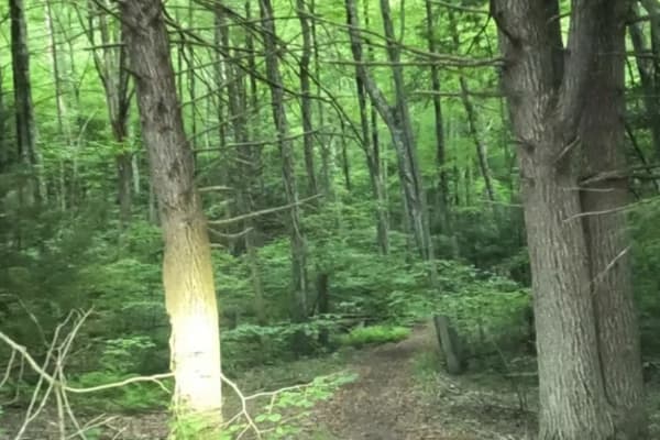
Old Spencer Road
This track is very overgrown;it's super tight to start with branches all over the sides and top of your rig. The cell service is decent, but the GPS gets a little confused at times. The majority of the track is dirt;there are some decent-sized boulders you'll have to crawl over, there is a spot with...
Learn more about Old Spencer Road
Del Reeves Road
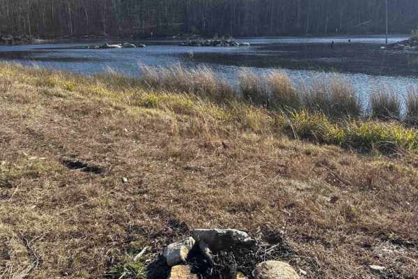
This mellow backroad route through Meshomasic State Forest follows a rough, mostly dirt track with a few gravel sections mixed in. It’s doable in nearly any vehicle, but something with off-road durability makes the ride smoother, especially when the ruts deepen, or rain turns things muddy. You’ll pa...
Learn more about Del Reeves Road
Filley Road
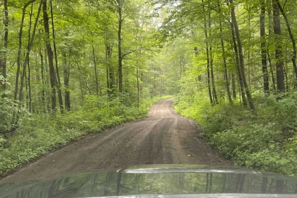
Serving as an entrance to the Cockaponset State Forest trail system, Filley Road is a very straightforward dirt and gravel path. The road allows for a smooth cruising experience through the forest and offers additional access to more trails in the state forest.
Learn more about Filley Road
Mottlan - Jericho Road
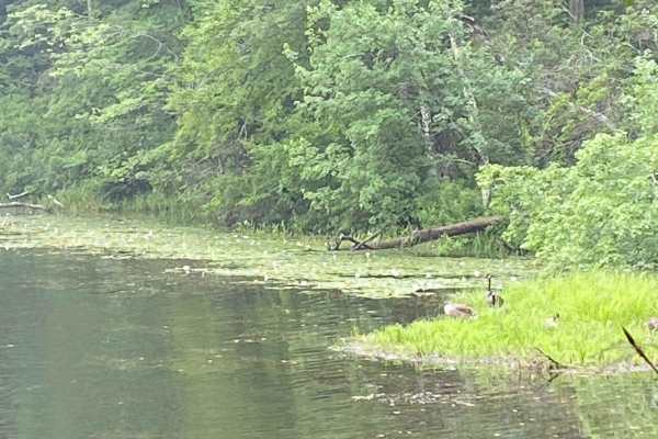
The dirt and gravel Mottland Road to Jericho Road leads directly into the Cockaponset State Forest trail network. Enjoy a leisurely drive through the forest on this road. A 4x4 /AWD is not needed to drive this road in regular conditions.
Learn more about Mottlan - Jericho Road

Old Country Road
In order to access the trail system of the Cockaponset State Forest, Old Country Road is a very straightforward dirt and gravel entrance. The road allows for a smooth cruising experience through the state forest.
Learn more about Old Country Road
Tower Hill Road to Spruce Ledge Road
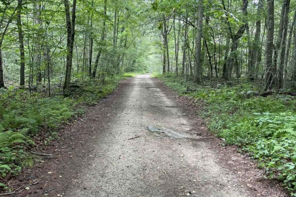
This trail is a straightforward path; however, there are sections that have puddle crossings that range from six to ten inches in size and require some ground clearance. The majority of obstacles are very straightforward and can be overcome with a stock vehicle. This road is located in the southern ...
Learn more about Tower Hill Road to Spruce Ledge Road
Thomaston Dam Loop
Thomaston Dam Loop is a moderate dual-sport style ride best suited for experienced dirt bike riders looking for a mix of flowing singletrack and faster gravel segments within a controlled OHV area. Located along the Naugatuck River corridor just north of Thomaston Dam, this motorcycle-only trail sys...
Learn more about Thomaston Dam Loop
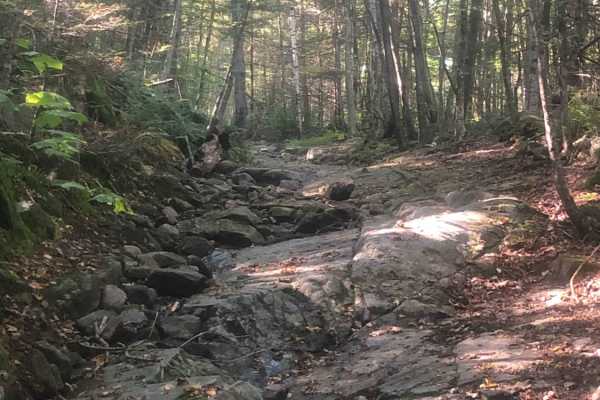
Cobble Hill Road Trail
This trail starts at the end of Cobble Hill Rd and ends at Stones Mill Rd. It is primarily uphill on wet, uneven, rocky terrain consisting of large rocks to climb over and loose gravel. There are a lot of steep drops that a stock vehicle may not be able to handle. Along the trail lies a small cemete...
Learn more about Cobble Hill Road Trail
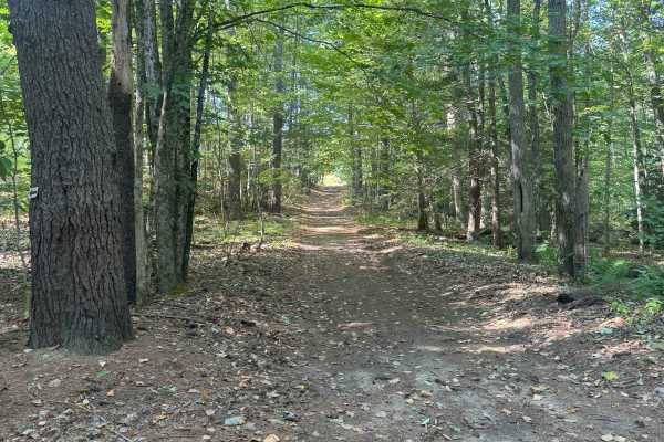
Hersey Road
This is a Class VI road in Danville, New Hampshire. You can access the trail from the east off of State Route 111A, turning onto the Hersey Road paved section. Trail access is to the left at the split (GH Carter Drive goes right), up into the woods. Follow signage for Beehive Hut at the split for th...
Learn more about Hersey Road
ATV trails near Chepachet, Rhode Island
Explore ATV-friendly trails near you. These trails are accessible for vehicles up to 50 inches wide, perfect for ATVs and smaller off-road machines.
Hanton City Road
Public road that is no longer maintained. Can approach from west off of Decotis Farm Road or from East off of West Reservoir Road. Approaching from Decotis, the road begins at the cul-de-sac. Parts of the road still have remnants of pavement before it was abandoned. The route was dry when mapped and...
Learn more about Hanton City Road
Forest Hill Loop East
Forest Hill Loop West in Freetown–Fall River State Forest is a moderately challenging OHV trail built for dirt bike riders who want fast, flowing forest sections mixed with just enough technical terrain to keep things interesting. The trail cuts through dense pine and hardwood forest on mostly flat ...
Learn more about Forest Hill Loop East
Sully's Way
This track is very overgrown. If you like your paint, don't go down it. It does open up after the beginning, but it's super tight to start with branches all over the sides and top of your rig. The cell service is decent, but the GPS gets a little confused at times. The majority of the track is dirt;...
Learn more about Sully's Way
Hampden Road
Level 1, besides one water crossing, which I'd give a 2 for a 4x4, single track wide, mostly rough gravel, overgrown slightly, will cause some scraping on the paint, it's maintained a little bit with clearing trees that fell, starts in Stafford Springs, Connecticut then ends in Hampden Massachusetts...
Learn more about Hampden Road
UTV/side-by-side trails near Chepachet, Rhode Island
Find UTV and side-by-side trails near you. These trails accommodate vehicles up to 60 inches wide, ideal for UTVs, side-by-sides, and wider off-road rigs.
Hanton City Road
Public road that is no longer maintained. Can approach from west off of Decotis Farm Road or from East off of West Reservoir Road. Approaching from Decotis, the road begins at the cul-de-sac. Parts of the road still have remnants of pavement before it was abandoned. The route was dry when mapped and...
Learn more about Hanton City Road
Sully's Way
This track is very overgrown. If you like your paint, don't go down it. It does open up after the beginning, but it's super tight to start with branches all over the sides and top of your rig. The cell service is decent, but the GPS gets a little confused at times. The majority of the track is dirt;...
Learn more about Sully's Way
Hampden Road
Level 1, besides one water crossing, which I'd give a 2 for a 4x4, single track wide, mostly rough gravel, overgrown slightly, will cause some scraping on the paint, it's maintained a little bit with clearing trees that fell, starts in Stafford Springs, Connecticut then ends in Hampden Massachusetts...
Learn more about Hampden Road
Old Spencer Road
This track is very overgrown;it's super tight to start with branches all over the sides and top of your rig. The cell service is decent, but the GPS gets a little confused at times. The majority of the track is dirt;there are some decent-sized boulders you'll have to crawl over, there is a spot with...
Learn more about Old Spencer Road
The onX Offroad Difference
onX Offroad combines trail photos, descriptions, difficulty ratings, width restrictions, seasonality, and more in a user-friendly interface. Available on all devices, with offline access and full compatibility with CarPlay and Android Auto. Discover what you're missing today!
Open Trail Map