
Dirt Bike Trails
Near Camden-on-Gauley, West Virginia
Explore All Dirt Bike Trails Near Camden-on-Gauley, West Virginia
Dirt Bike Trails Near Camden-on-Gauley, West Virginia
Discover the best dirt bike trails near you. Browse trail maps, check difficulty ratings, and find your next adventure — whether you're looking for a quick ride or an all-day expedition.
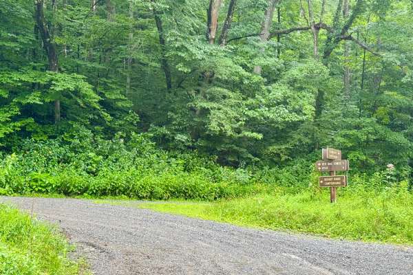
Cranberry Dyer - FS 101
This is a forest road in the Gauley Ranger District of Monongahela National Forest that connects FS 76 to County Route 46 near Dyer, WV. It is notable as it provides access between Bishop Knob campground and the dispersed camping along FS 76. It's a scenic and peaceful drive through dense forest tha...
Learn more about Cranberry Dyer - FS 101
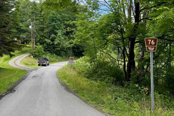
Cranberry- FS 76
This is a forest road in the Gauley Ranger District of Monongahela National Forest that is the spine of camping in this district as it connect Big Rock Campground to Cranberry Campground and has several nice designated river sites for camping too. All of these are first come, first serve with pay by...
Learn more about Cranberry- FS 76
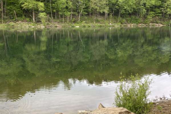
Nile Road to Gauley River
Nile Road to Gauley River is an easy, scenic 1.25-mile downhill trail near Persinger, West Virginia, perfect for beginners and families looking to access a remote beach on the Gauley River. This unpaved route starts at an elevation of 2,124 feet and steadily descends 458 feet to the riverbank at 1,6...
Learn more about Nile Road to Gauley River
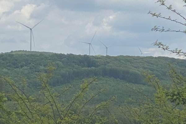
Nettie to Richwood
If you like dirt roads, this place is for you--it's miles upon miles of dirt/gravel roads. This route takes about 3.5 hours over almost 40 miles of some of the prettiest country Nicholas County, West Virginia, has to offer. Along these trails, you will more than likely see about every wild animal th...
Learn more about Nettie to Richwood
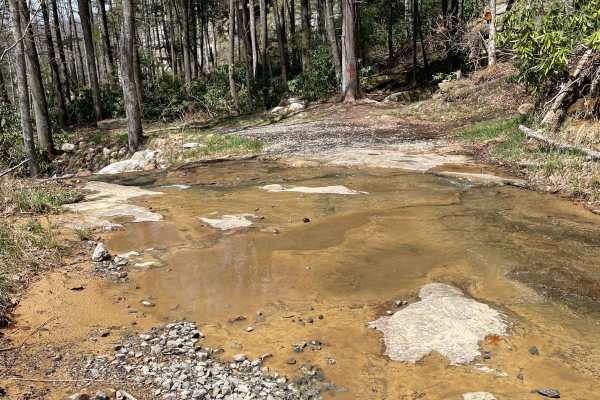
Meadow/Gauley Access Trail
There is parking at the trailhead for up to two vehicles if you want to walk in. The first part of the trail is rough; after this, the trailer opens up into a mostly gravel road. A shallow water crossing will be the first thing you come two with a civil war soldier's grave beside it. Please be respe...
Learn more about Meadow/Gauley Access Trail
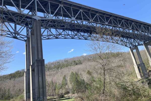
Meadow & Gauley Rivers Access Trail
This trail was developed from old railroad tracks, making it perfect for various activities. There are plenty of primitive camping sites along the river. There are two old railroad tunnels and multiple railroad bridges you can cross and hike, bike, drive, or ride to. There is plenty of swimming acce...
Learn more about Meadow & Gauley Rivers Access Trail
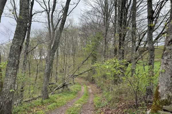
Chestnut Ridge Road
Chestnut Ridge Road offers a scenic journey along a high ridge top, providing breathtaking view on clear days. The majority of the track is an easy drive. The trail features a mandatory technical section that cannot be bypassed, adding just enough challenge to keep things interesting. Please practic...
Learn more about Chestnut Ridge Road
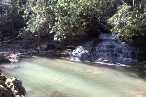
Panther Mountains
This is a gravel road along The Gauley River National Rec Area. It has access to Gauley river, and multiple hiking trails including the stairway to heaven, multiple water crossings and beautiful waterfalls. This is a great area for camping along the river. Remember to take out what you bring in.
Learn more about Panther Mountains
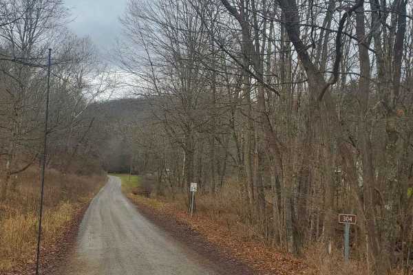
Stillhouse Run Road (FS304)
This Monongahela National Forest Road shares an entrance with Monday Lick Road (FS1002), just south of the town of Marlinton, West Virginia. It follows the Stillhouse Run Creek up to its headwaters above the Greenbriar River. It is a fairly well-maintained dirt forest road with a few small offshoots...
Learn more about Stillhouse Run Road (FS304)
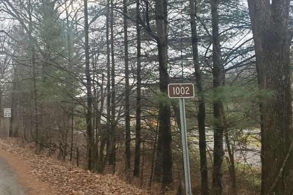
Monday Lick Rd (FS1002)
This forest road goes through part of the Monongahela National Forest and is an easy drive for any truck, small SUV, 4x4, or SxS. Beginning across the street from Stillwell Park, it shares an entrance with Stillwater Run Road (FS 304) but makes an immediate right fork following the Greenbriar River ...
Learn more about Monday Lick Rd (FS1002)
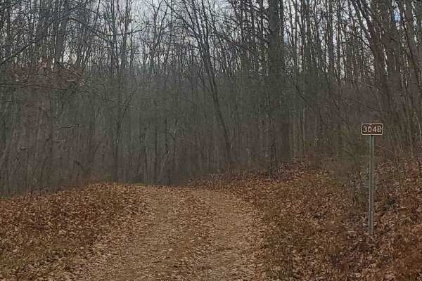
FS304B
This trail is an offshoot of Stillhouse Run Road (FS304). It is poorly, if at all maintained, and downed trees and overgrown limbs cut the trail short of what is shown as available on the map. SxS, dirt bikes, and ATVs may be able to complete the full length of the trail, but a saw would be required...
Learn more about FS304B
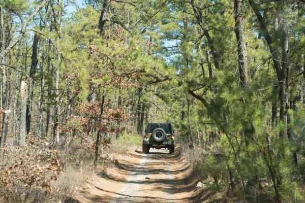
44/1 Bellwood Corporation Mine (Ford Knob Road)
This trail loops the road to Springdale bypass. That sounds like a good name for a road long forgotten. County road 44/1 is a road the locals use for recreation and your constant use will keep the DOH from closing. If you are on the Springdale side the DOH sign is marked at 44/1 Ford Knob Road. This...
Learn more about 44/1 Bellwood Corporation Mine (Ford Knob Road)
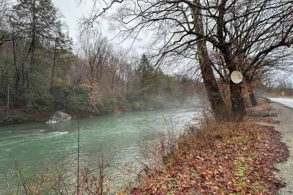
Beans Mill
Start this route in Buckhannon by taking WV-20 south to Sago Road for 5 miles. This section is paved but scenic, running alongside the emerald-hued Buckhannon River. The road transitions to dirt and gravel. At Big Bend Church (38.88129, -80.21359), take the road perpendicular to the parking lot call...
Learn more about Beans Mill
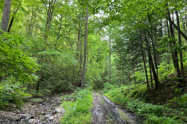
KC14
Kelly's Creek Trail 14 runs along the eastern border of the Kelly's Creek sector. For the majority of the route, the trail closely parallels Shadrick Fork (creek), and there are several shallow fordings along the way. These fordings should remain less than 12 inches except in times of heavy rain. Th...
Learn more about KC14
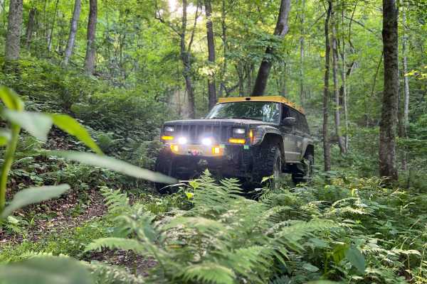
KC15A
Kelly's Creek Trail 15A is an out-and-back adventure with an interesting little surprise near the end! Keep an eye out for a small opening in the side of the mountain, down low. The entire ride is beautiful, lined with ferns and dense leaf canopy in season. The trail is narrow with almost no safe pa...
Learn more about KC15A
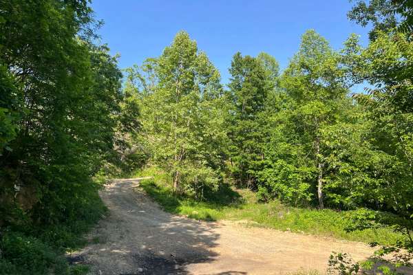
KC15
Kelly's Creek Trail 15 is an old logging road that has been cut open recently for logging operations. As such, there are some wide open views for much of the way, and the majority of the trail is open and clear. The road surface is mostly dirt, with some ruts and minor puddles. Ultimately, this trai...
Learn more about KC15
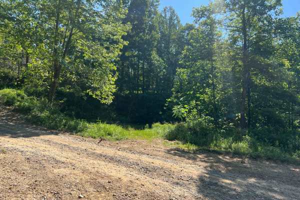
KC19
KC19 is a flat shelf road on the eastern edge of the Kelly's Creek sector of the AOT. Along the way, you will encounter some thick mud, ruts, and possible overgrown vegetation. The road surface is primarily dirt with some grass, with the majority of it being smooth and well graded. The track is wide...
Learn more about KC19
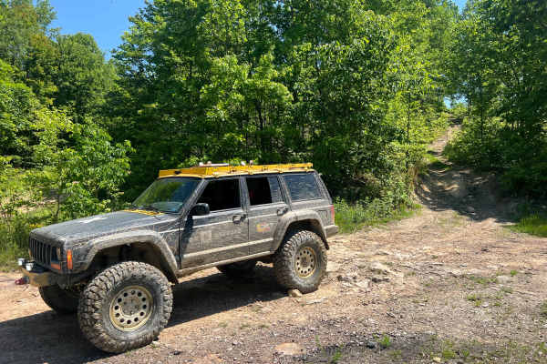
KC18
Kelly's Creek Trail 18 is a track with a lot of variety. At the KC4 end it is steep and narrow, passing along the border of a plot which was more recently timbered, giving way to some incredible views to the east. As the road departs the logging area, it becomes more densely forested and slightly sh...
Learn more about KC18
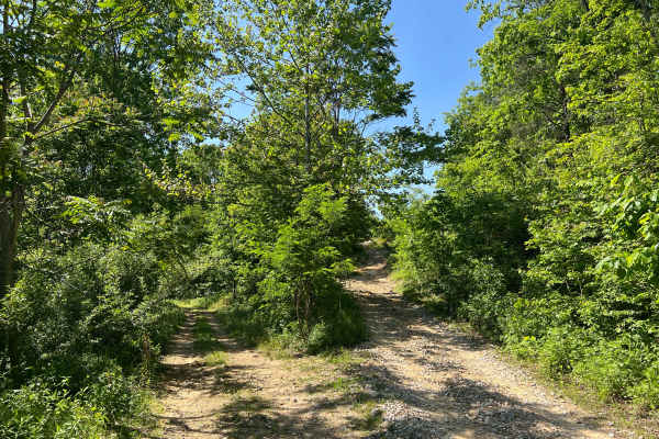
KC20
Kelly's Creek Trail 20 is a nearly 1.5-mile (each way) out-and-back adventure with access to a spur trail (KC20A) to explore as well. The track is relatively flat, with sections being a shelf road; however, the entire road is comfortably wide. There is one mud hole just past the spur, which can be q...
Learn more about KC20
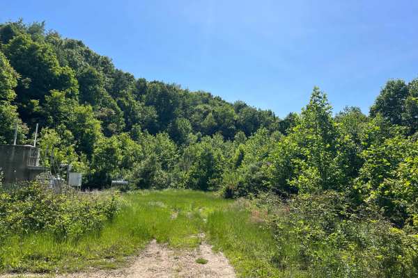
KC4B
KC4B is a short out-and-back trail to a well site with a large flat grassy area giving plenty of room to turn around. Along the route are some minor ruts/washes and mud puddles, but no real obstacles to be concerned with. The trail surface is rocky dirt, and while the road grade is wide, vegetation ...
Learn more about KC4B
ATV trails near Camden-on-Gauley, West Virginia
Explore ATV-friendly trails near you. These trails are accessible for vehicles up to 50 inches wide, perfect for ATVs and smaller off-road machines.
Nile Road to Gauley River
Nile Road to Gauley River is an easy, scenic 1.25-mile downhill trail near Persinger, West Virginia, perfect for beginners and families looking to access a remote beach on the Gauley River. This unpaved route starts at an elevation of 2,124 feet and steadily descends 458 feet to the riverbank at 1,6...
Learn more about Nile Road to Gauley River
Nettie to Richwood
If you like dirt roads, this place is for you--it's miles upon miles of dirt/gravel roads. This route takes about 3.5 hours over almost 40 miles of some of the prettiest country Nicholas County, West Virginia, has to offer. Along these trails, you will more than likely see about every wild animal th...
Learn more about Nettie to Richwood
Meadow/Gauley Access Trail
There is parking at the trailhead for up to two vehicles if you want to walk in. The first part of the trail is rough; after this, the trailer opens up into a mostly gravel road. A shallow water crossing will be the first thing you come two with a civil war soldier's grave beside it. Please be respe...
Learn more about Meadow/Gauley Access Trail
Meadow & Gauley Rivers Access Trail
This trail was developed from old railroad tracks, making it perfect for various activities. There are plenty of primitive camping sites along the river. There are two old railroad tunnels and multiple railroad bridges you can cross and hike, bike, drive, or ride to. There is plenty of swimming acce...
Learn more about Meadow & Gauley Rivers Access Trail
UTV/side-by-side trails near Camden-on-Gauley, West Virginia
Find UTV and side-by-side trails near you. These trails accommodate vehicles up to 60 inches wide, ideal for UTVs, side-by-sides, and wider off-road rigs.
Nile Road to Gauley River
Nile Road to Gauley River is an easy, scenic 1.25-mile downhill trail near Persinger, West Virginia, perfect for beginners and families looking to access a remote beach on the Gauley River. This unpaved route starts at an elevation of 2,124 feet and steadily descends 458 feet to the riverbank at 1,6...
Learn more about Nile Road to Gauley River
Nettie to Richwood
If you like dirt roads, this place is for you--it's miles upon miles of dirt/gravel roads. This route takes about 3.5 hours over almost 40 miles of some of the prettiest country Nicholas County, West Virginia, has to offer. Along these trails, you will more than likely see about every wild animal th...
Learn more about Nettie to Richwood
Meadow/Gauley Access Trail
There is parking at the trailhead for up to two vehicles if you want to walk in. The first part of the trail is rough; after this, the trailer opens up into a mostly gravel road. A shallow water crossing will be the first thing you come two with a civil war soldier's grave beside it. Please be respe...
Learn more about Meadow/Gauley Access Trail
Meadow & Gauley Rivers Access Trail
This trail was developed from old railroad tracks, making it perfect for various activities. There are plenty of primitive camping sites along the river. There are two old railroad tunnels and multiple railroad bridges you can cross and hike, bike, drive, or ride to. There is plenty of swimming acce...
Learn more about Meadow & Gauley Rivers Access Trail
The onX Offroad Difference
onX Offroad combines trail photos, descriptions, difficulty ratings, width restrictions, seasonality, and more in a user-friendly interface. Available on all devices, with offline access and full compatibility with CarPlay and Android Auto. Discover what you're missing today!
Open Trail Map