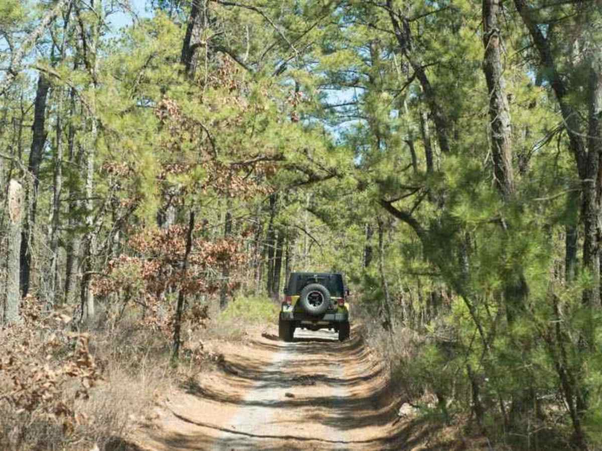
44/1 Bellwood Corporation Mine (Ford Knob Road)

Total Miles 4.2
Technical Rating
3 Easy
Best Time Fall
Trail Type High-Clearance 4x4 Trail
Accessible By
Open Trail Map

Trail Overview

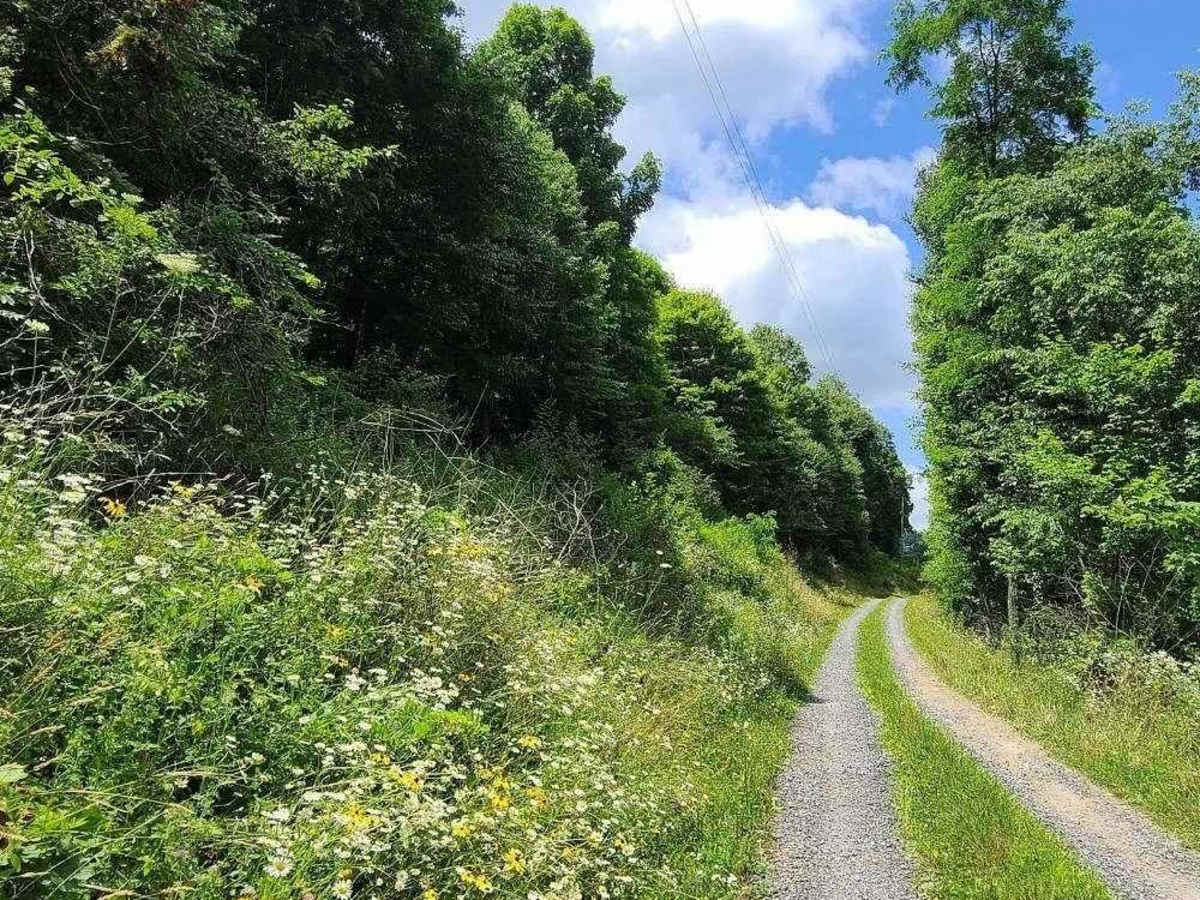
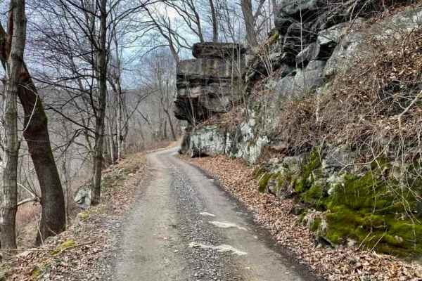
This trail loops the road to Springdale bypass. That sounds like a good name for a road long forgotten. County road 44/1 is a road the locals use for recreation and your constant use will keep the DOH from closing. If you are on the Springdale side the DOH sign is marked at 44/1 Ford Knob Road. This is the main artery through a series of trails, roads, and forgotten highways of the past. This is 1 of a series of trails that will be listed under the Bellwood Corporation Mine Roads. Some of these trails will not have actual real names, but they do make sense to the locals. If you want to experience where every offroad adventurer in the area rode ATVs, Dirtbikes, and 4x4s then this trail will open you up to the world of the "Bellwood Strip". Experience some of the best-hidden views in West Virginia that only the locals know about with these trails. Generally, any high-clearance 4x4 vehicle will have no trouble.

Photos of 44/1 Bellwood Corporation Mine (Ford Knob Road)

Difficulty

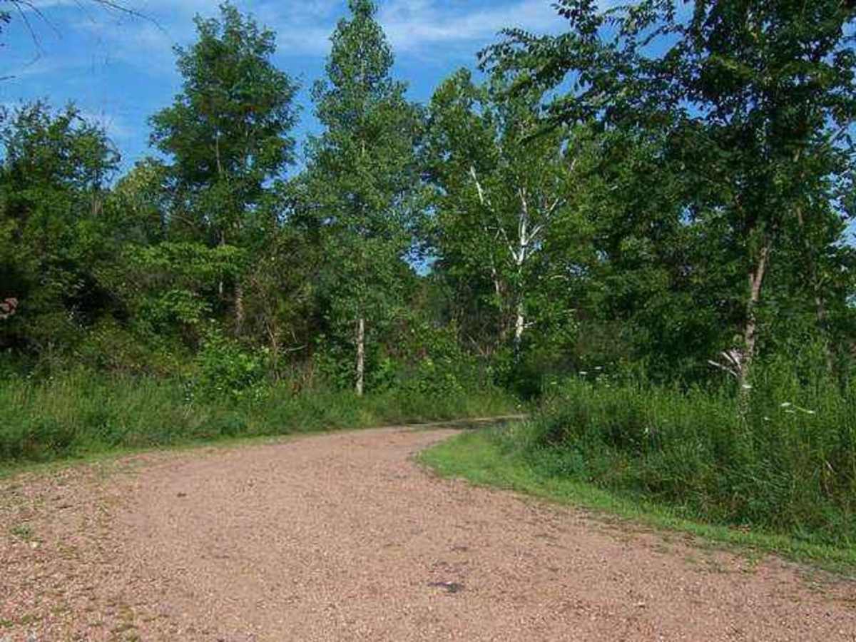
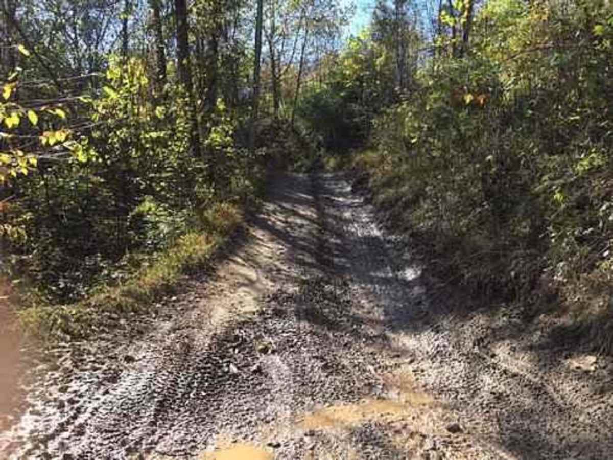
Depending on the time of year you take this trail, it can be hard-packed dirt, all mud, or even packed red dog. The trail is constantly changing even though the fun is not. You will find mud holes, steep grades, and ruts that can be anywhere from 8 inches deep to 2 feet deep depending on the weather and recent vehicles traveling the trail.

History

These roads have been here since the early 1900s when they were the main roads for the local coal companies that mined these hills. Strip and deep mines were both active in these areas and can be researched online if you search for Bellwood Mine 1. The original company store was in Bellwood located at 37.923846deg-80.829750deg The steps to the basement are still visible today but filled with water. The vault is still there as well however the door has been removed and sold for scrap by the locals in the early 1970s.

Technical Rating

3

Status Reports

Add Status Report
Michael Riley
May 06, 2025
Open
Started S. First bit was just chunky gravel. Northern-most 1/3 from the area where there are some houses was easy, well-maintained gravel. In between those segments was pretty sweet (maybe would rate this section a 4). Nothing too crazy though one very tight R off-camber turn where I hit >18% roll so some pucker factor there. Overall a really fun trail, I just wish more of the trial was like the middle portion.
Nolan Calabro
Dec 28, 2024
Open
Entered from the east. Exited other end. Stock F150. Rained all night before so lots of mud holes. Several good size ruts, one or two could be a problem with the mud. Lots of other trails, some on map, some not. A lot of them very muddy, so didn't try. Give it a 2 difficulty dry and 3 wet. Nice area, will visit again!
Louis Rios
Nov 19, 2024
Open
Stock friendly. Some mud, rocks, uneven terrain; nothing difficult. There was one muddy spot that i had to get in the gas for a bit cuz i started bogging down. Several offshoot trails. Some are not on OnX, so have a good time exploring.
Louis Rios
Oct 03, 2024
Open
I started at Spring Dale. the trail was easy enough, until I got to a spot that you see in a pic. For more fun, try either path you come to at a 4-way. you can't miss it. All I have is a stock Jeep with AT tires. Happy Trails!
VERNON GIROUD
Sep 22, 2024
Open
Nice little trail accessed from Loop Road and ends on RT 20. Plenty of off shoots to try out if want to. Stock friendly and no pin stripes.

44/1 Bellwood Corporation Mine (Ford Knob Road) Trail can be accessed by the following ride types:

  • Single Track
  • 50 Inch
  • 60 Inch
  • High Clearance

44/1 Bellwood Corporation Mine (Ford Knob Road) Map

The onX Offroad Difference

onX Offroad combines trail photos, descriptions, difficulty ratings, width restrictions, seasonality, and more in a user-friendly interface. Available on all devices, with offline access and full compatibility with CarPlay and Android Auto. Discover what you're missing today!

Open Trail Map