
Beginner Off-Road Trails
Near Wolverine, Michigan
Explore All Beginner Trails Near Wolverine, Michigan
Beginner Off-Road Trails Near Wolverine, Michigan
Discover the best beginner-friendly off-road trails near you. These easier, lower-rated trails are a great place to start — browse trail maps, check difficulty ratings, and find your next adventure.
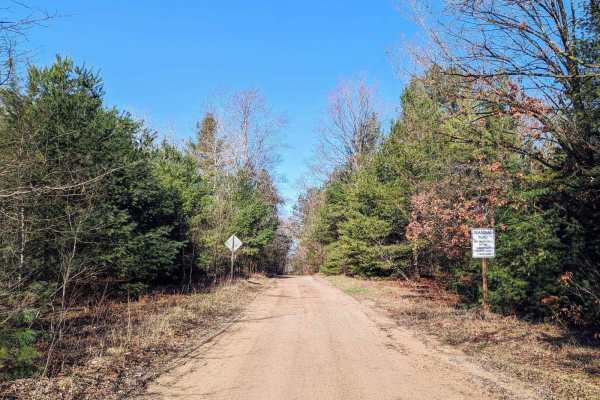
Peet Road
The east side of this trail begins as a two-lane gravel road in a residential area. It then turns into a single-track seasonal road that is not maintained. This trail is an easy drive with beautiful scenery. There are very few elevation changes, low-lying areas, or mud holes.
Learn more about Peet Road

McEachron Road
A point-to-point trail seasonal road that will end blend/merge with other trails in the area, At the east end near Wolverine it starts dirt-gravel, it's a flat mostly firm trail with a few hills and nice scenery with a bridge over the river, some areas get sand and mud and is softer by the river are...
Learn more about McEachron Road
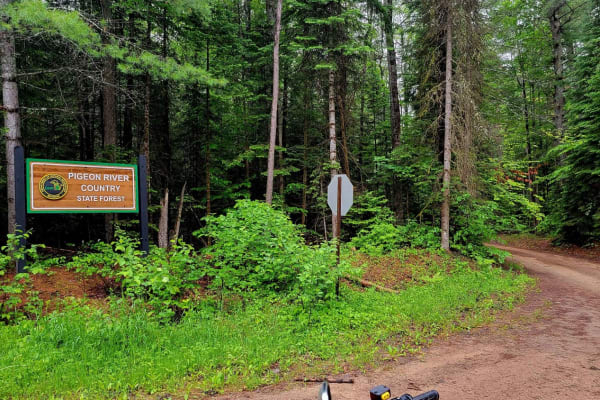
Fisherman's Trail
This is a point-to-point trail (or what Michigan calls a "seasonal road") starting on Webb Road and then going into Pigeon Forest, turning south on Fisherman's Road. It's a dirt trail with standing water and mud after rain and a heavy tree canopy, which may make it challenging for a high-top 4x4. It...
Learn more about Fisherman's Trail
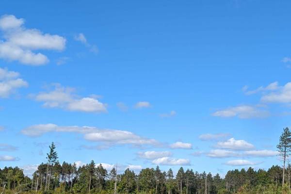
Hunters Road
Like many "roads" in Michigan, this is a two-track trail. It is sandy, mild, and enjoyable. The last section of the trail north of Wolverine Road is pretty tight. A full-size vehicle can fit, but not if you are concerned about pinstriping. It is best to bypass that part if you like your clear coat. ...
Learn more about Hunters Road
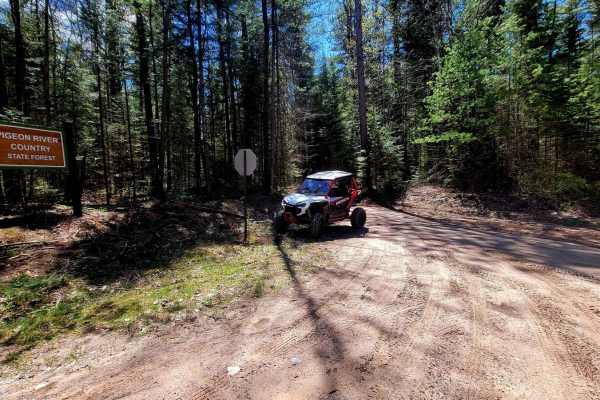
Afton Area/Fisherman Trail Connector
This trail will connect to the Afton Area Trail on the north end and the Fisherman's Trail on the south end. It is mainly all dirt. The trail starts wide but slims down to a two-track in some areas, but as you wind through the beautiful scenic forest, there is ample area to move aside if another veh...
Learn more about Afton Area/Fisherman Trail Connector
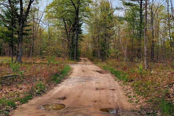
Afton Area Trail
This is an Afton area trail, a 12-mile journey through the scenic forest that will take you to a great place to eat (The Wigwam Restaurant) via sandy trails. There is fuel in Wolverine, MI at the south end of the ride via paved road near Afton Road and Wolverine Road. There is another fuel point at ...
Learn more about Afton Area Trail
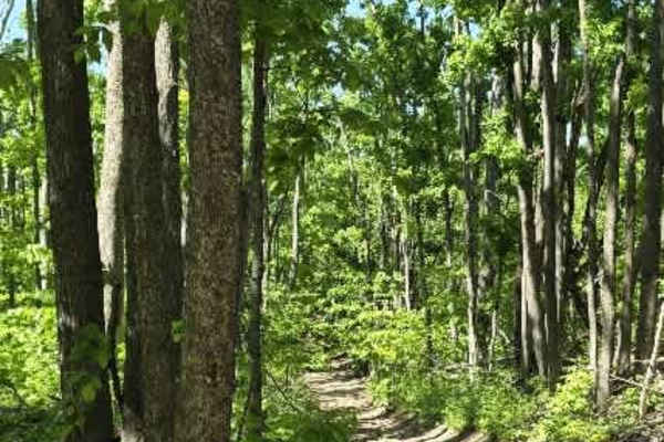
Dunham Rd
Dunham Road branches off the side of the Tomahawk C Loop and begins as a relatively easy hard-packed dirt trail before quickly narrowing into a more rugged two-track. The trail winds through dense forest, where low-hanging and fallen branches form a natural tunnel in several sections, creating a sec...
Learn more about Dunham Rd
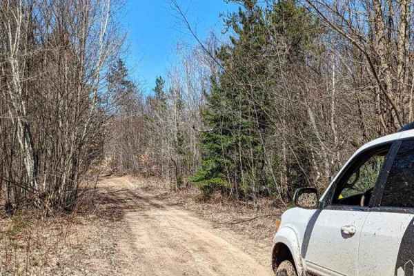
Perry Road
This a single-wide sandy trail. It starts as a groomed gravel road but narrows soon after. There are some slight elevation changes. There are also a couple of muddy areas that are not too deep. A portion of this trail is a snowmobile trail in the winter and has seasonal restrictions.
Learn more about Perry Road
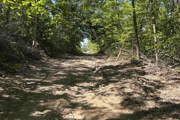
Warren
Warren is an ORV trail that's legal for all vehicle types and sizes, from large 4x4s to dirt bikes. The trail is a mix of sand and dirt, and it's surrounded by dense forests with some clearings. The northern end of the trail passes through some private property, so please be respectful.
Learn more about Warren
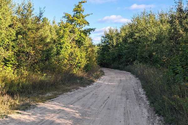
LP 767
LP 767 is a very well-maintained sand trail. All signage is very clear and main intersections are well parked. In some areas the sand gets a little thick, but nothing that any stock all-wheel drive vehicle can't handle, especially if the tires are aired down. On this route, you will discover a coupl...
Learn more about LP 767
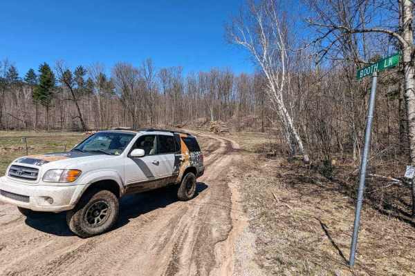
Charlevoix / Booth Lake
This trail has a dirt base with slight elevation changes. Some areas are narrow and muddy. There is an unpassable series of mud holes that has a bypass to the left of the trail. Take the bypass. If you continue straight through the mud holes, there is also a large tree down on the trail.
Learn more about Charlevoix / Booth Lake
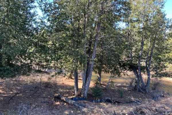
Fishermans Trail Bypass
This is a bypass of the Fisherman's trail and connects you to the Beaver Dam trail, which is a great ride in spring after a snow melt. You will travel through the Pigeon River forest and over the river itself on this trail. The views from the bridge are beautiful, and it is a good place to stop for ...
Learn more about Fishermans Trail Bypass
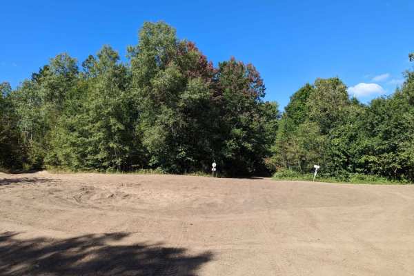
Marl Creek Road 765/760
This trail starts as 765 and then turns into 760 south of North County Line Road. There is a sand bowl on the trail immediately after North County Line Road. Then it turns into Marl Creek Road at some point, but it is one continual trail. This trail is not heavily maintained, but it isn't overgrown ...
Learn more about Marl Creek Road 765/760
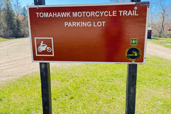
Tomahawk C Loop Parking lot connector
This route connects the main Tomahawk trail system parking area to the C loop. It consists of loamy soil and sand. It is heavily wooded and still has tree damage from the 2025 Ice storm. Twisty 24” single track with some nice berms and well-developed trail. There are some trail bypasses from where t...
Learn more about Tomahawk C Loop Parking lot connector
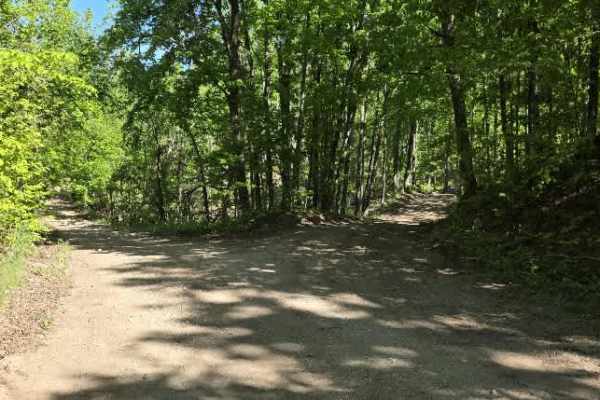
Backwoods Bypass
Backwoods Bypass branches off Wilderness Road and begins as a hard-packed dirt logging road winding through towering hardwoods and pines. During active logging operations, massive log walls line portions of the route, creating an impressive corridor through the forest. A large turnaround at the end ...
Learn more about Backwoods Bypass
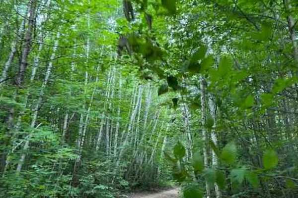
Wilderness Road
This is a forest road that connects the Mason Pit trail to the Charlevoix/Booth Lake trail. The trail is wide enough for passing oncoming traffic but I wouldn't call it a two-lane road. There are some nice hills and a cool little spot where a cottage once stood Part of the fireplace is still standin...
Learn more about Wilderness Road
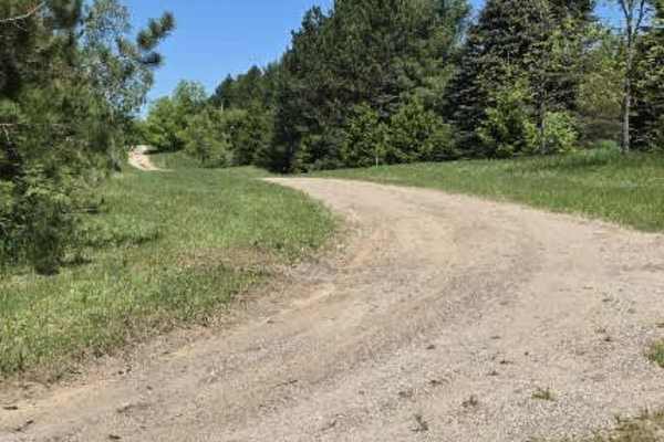
Heaton Road
This route begins as a firm mix of hard-packed dirt and sand, offering an easy roll-in before the terrain starts to shift. Seasonal mudholes appear along the way—ranging anywhere from 8 to 24 inches deep, depending on recent weather—adding a bit of unpredictability and requiring careful line choice....
Learn more about Heaton Road
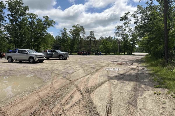
Indian River trailhead
Indian River trailhead is part of a designated off-road vehicle (ORV) trail that is legal for all vehicle types and sizes, from large 4x4s to dirt bikes. The trail is predominantly made up of sand and is surrounded by dense forests. This is a heavily traveled area, and there are a few blind corners....
Learn more about Indian River trailhead
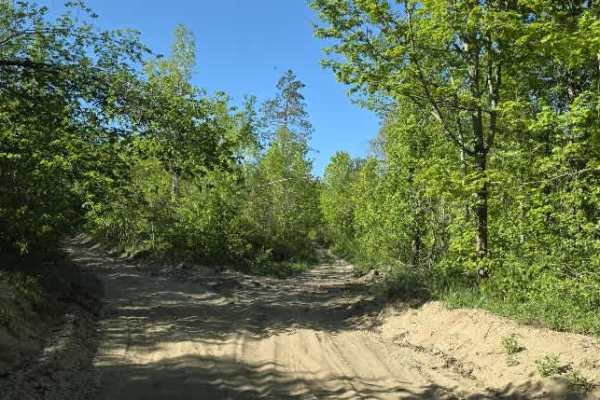
Wolf Run
This route begins off Charlevoix/Booth Lake Rd and runs toward Marl Creek Rd with an intersection tying into Wilderness Rd. It’s a mixed-use forest connector that shifts between sandy two-track, narrow wooded corridors, and more technical off-camber sections.
The trail starts sandy with light rock ...
Learn more about Wolf Run
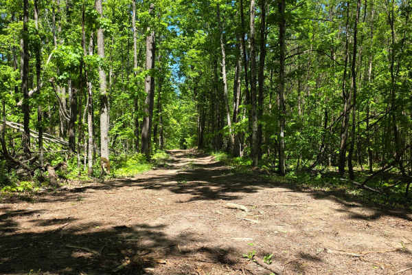
Wilber Hill
This route begins as a firm mix of hard-packed dirt and sand, offering an easy roll-in before the terrain starts to shift. Seasonal mudholes appear along the way—ranging anywhere from 8 to 24 inches deep, depending on recent weather—adding a bit of unpredictability and requiring careful line choice....
Learn more about Wilber Hill
Beginner ATV trails near Wolverine, Michigan
Explore ATV-friendly trails near you. These trails are accessible for vehicles up to 50 inches wide, perfect for ATVs and smaller off-road machines.
Peet Road
The east side of this trail begins as a two-lane gravel road in a residential area. It then turns into a single-track seasonal road that is not maintained. This trail is an easy drive with beautiful scenery. There are very few elevation changes, low-lying areas, or mud holes.
Learn more about Peet Road
McEachron Road
A point-to-point trail seasonal road that will end blend/merge with other trails in the area, At the east end near Wolverine it starts dirt-gravel, it's a flat mostly firm trail with a few hills and nice scenery with a bridge over the river, some areas get sand and mud and is softer by the river are...
Learn more about McEachron Road
Fisherman's Trail
This is a point-to-point trail (or what Michigan calls a "seasonal road") starting on Webb Road and then going into Pigeon Forest, turning south on Fisherman's Road. It's a dirt trail with standing water and mud after rain and a heavy tree canopy, which may make it challenging for a high-top 4x4. It...
Learn more about Fisherman's Trail
Hunters Road
Like many "roads" in Michigan, this is a two-track trail. It is sandy, mild, and enjoyable. The last section of the trail north of Wolverine Road is pretty tight. A full-size vehicle can fit, but not if you are concerned about pinstriping. It is best to bypass that part if you like your clear coat. ...
Learn more about Hunters Road
Beginner UTV/side-by-side trails near Wolverine, Michigan
Find UTV and side-by-side trails near you. These trails accommodate vehicles up to 60 inches wide, ideal for UTVs, side-by-sides, and wider off-road rigs.
Peet Road
The east side of this trail begins as a two-lane gravel road in a residential area. It then turns into a single-track seasonal road that is not maintained. This trail is an easy drive with beautiful scenery. There are very few elevation changes, low-lying areas, or mud holes.
Learn more about Peet Road
McEachron Road
A point-to-point trail seasonal road that will end blend/merge with other trails in the area, At the east end near Wolverine it starts dirt-gravel, it's a flat mostly firm trail with a few hills and nice scenery with a bridge over the river, some areas get sand and mud and is softer by the river are...
Learn more about McEachron Road
Fisherman's Trail
This is a point-to-point trail (or what Michigan calls a "seasonal road") starting on Webb Road and then going into Pigeon Forest, turning south on Fisherman's Road. It's a dirt trail with standing water and mud after rain and a heavy tree canopy, which may make it challenging for a high-top 4x4. It...
Learn more about Fisherman's Trail
Hunters Road
Like many "roads" in Michigan, this is a two-track trail. It is sandy, mild, and enjoyable. The last section of the trail north of Wolverine Road is pretty tight. A full-size vehicle can fit, but not if you are concerned about pinstriping. It is best to bypass that part if you like your clear coat. ...
Learn more about Hunters Road
The onX Offroad Difference
onX Offroad combines trail photos, descriptions, difficulty ratings, width restrictions, seasonality, and more in a user-friendly interface. Available on all devices, with offline access and full compatibility with CarPlay and Android Auto. Discover what you're missing today!
Open Trail Map