Marl Creek Road 765/760

Total Miles5.9
Technical Rating
3Easy
Best TimeSpring, Summer, Fall
Trail TypeFull-Width Road
Accessible By
Open Trail Map

Trail Overview

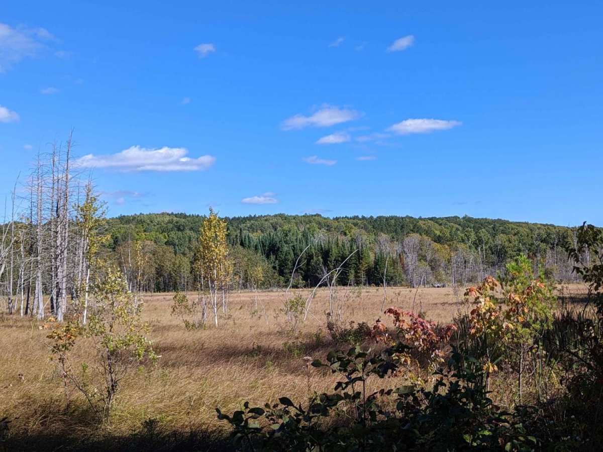
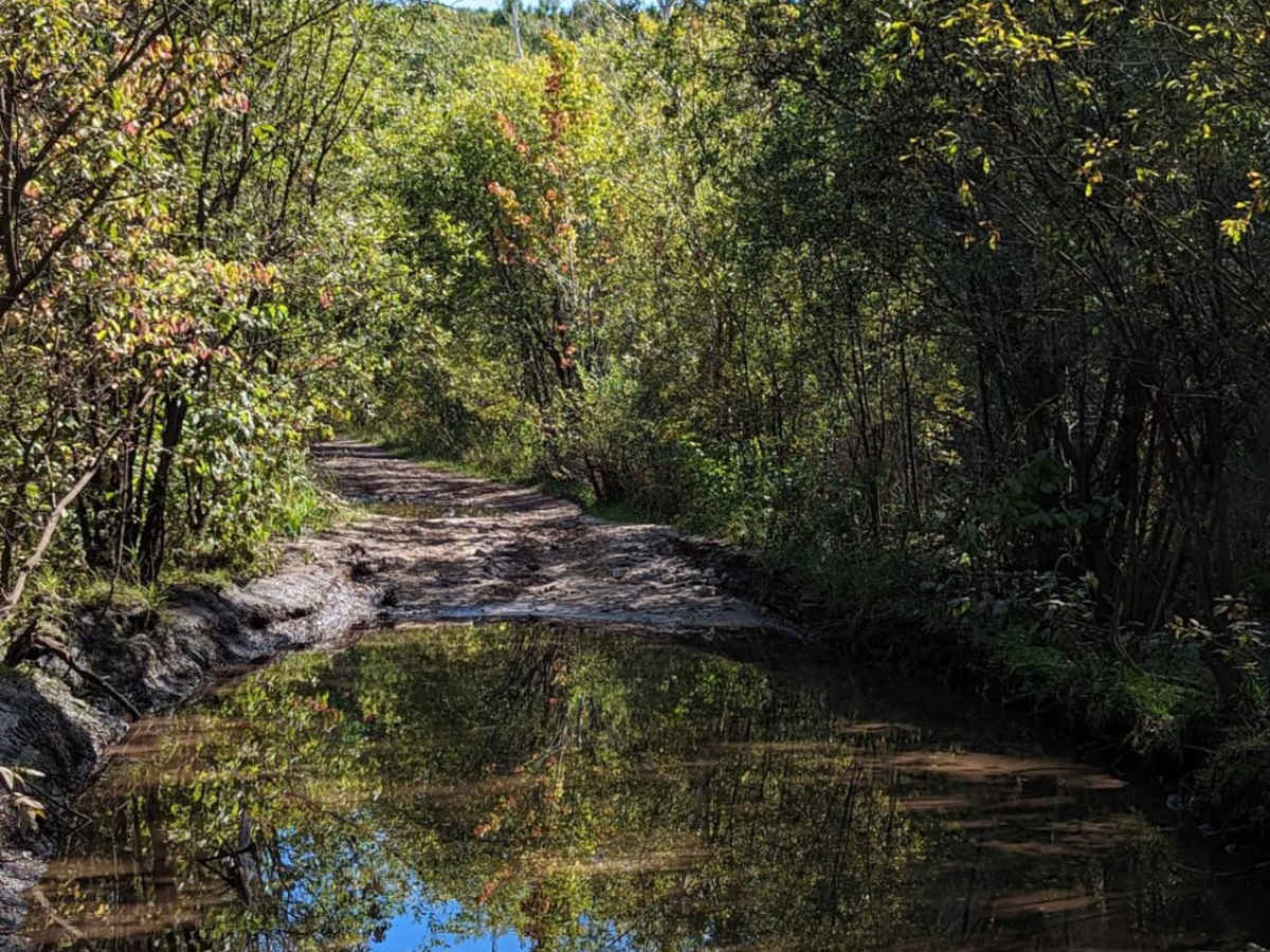
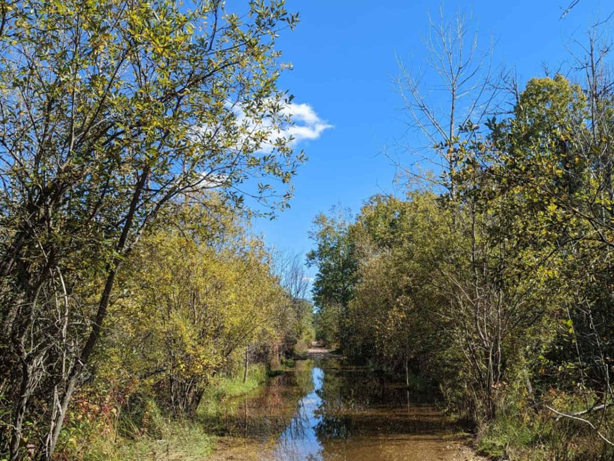
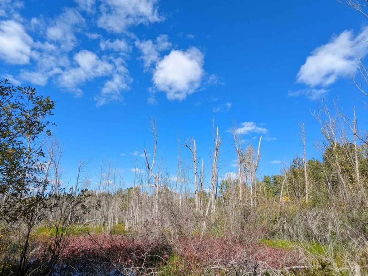
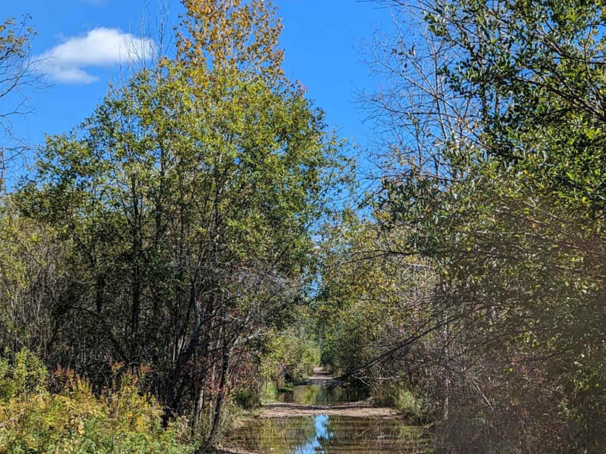
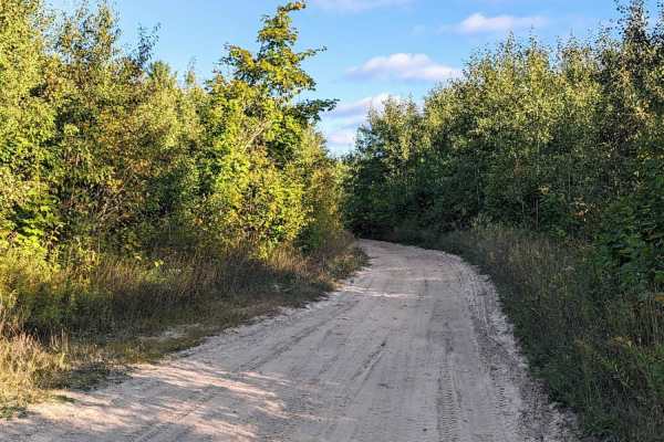
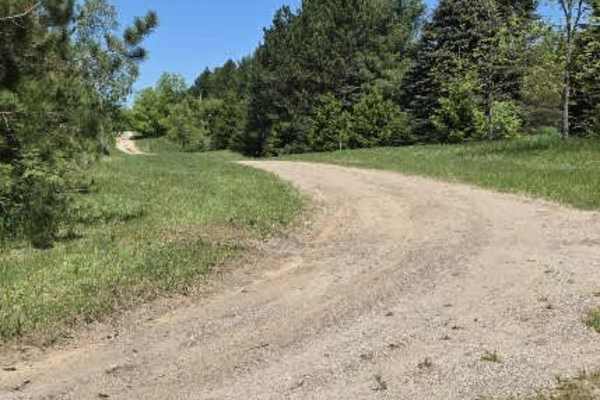
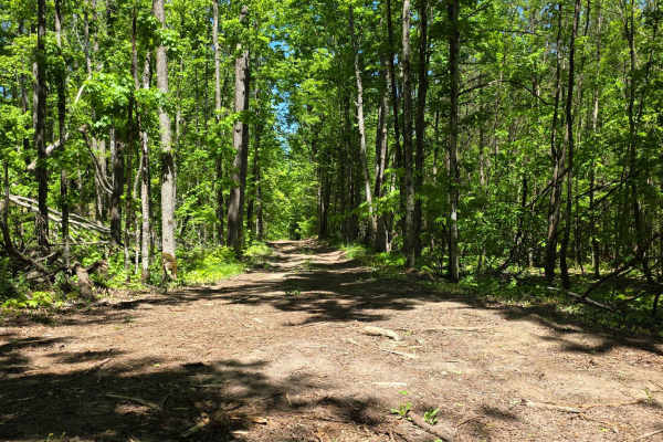
Marl Creek Road 765/760 is an enjoyable, easy-going route ideal for scenic explorers and stock off-road vehicles looking to experience northern Michigan's marshy woodlands. Spanning approximately 5.9 miles with minimal elevation change, this continuous route begins as Trail 765 before transitioning into Trail 760 south of North County Line Road. Immediately after this intersection, drivers will encounter a notable sand bowl obstacle that adds a touch of excitement to the journey. The trail winds through dense forest and low-lying wetlands, offering a moderately maintained path that remains clear of heavy overgrowth but still delivers a true backwoods feel. While much of the terrain consists of sandy sections and occasional washboarding, a stock all-wheel-drive or four-wheel-drive vehicle can easily navigate the route, particularly when tires are aired down for the deeper sand. The trail features moderate hill climbs, banked corners, and multiple water crossings, including one marshy crossing that has a solid bottom but can become quite deep during rainy periods. High-clearance vehicles, SxSs, and standard utility rigs are well-suited for these conditions. Visitors should consult the Michigan Department of Natural Resources for active seasonal restrictions and land-use regulations before heading out.

Photos of Marl Creek Road 765/760

Difficulty

This is a fun easy trail. It's only rated a "3" because the one water crossing could be trouble for someone in a low vehicle.

Technical Rating

3

Status Reports

Add Status Report
Joshua Tarrant
Jun 25, 2025
Obstructed
Downed Tree
Lots of downed trees to the more southern areas cleared out a bit but got to a point in my bronco it was super tight so be careful of that few good water crossings and a lot of run out
Geoff Blumenthal
May 25, 2024
Open
Washboard
Coming from the western Peet Road intersection headed east on Marl Creek Road there were several larger mud puddles. The first larger one encountered starts shallow before getting deep and having a more vertical exit. Wrangler and Gladiator made it through with water splashing over the hood.
Kevin Badgley
May 18, 2024
Open
Muddy/Wet
Between gladding and Pete road , one hole in particular that was deep and very short. My Yukon has a short wheel base and no traction control or lockers so I decided going through the center was best. I was plowing water over the hood and tore off the stock back bumper cover, a very “V” shaped hole. Please note screenshot and approximate area. Another trail report from April looks like the general area. This can be by-passed by using gladding road, I can’t vouch for Pete road.
Keri Porter
Apr 14, 2024
Obstructed
Impassable Water Crossing
There is a creek that crosses the trail and the flooding in the area is high. there are multiple water areas on the trail, We tried to cross the larger flooded areas with our Toyota Sequoia on 34" tires and the water level was too high for our vehicle.
Marshall Seigle
Oct 21, 2023
2018 Jeep Wrangler
Obstructed
Impassable Water Crossing
Drew Chaplin
Jul 01, 2023
2018 Jeep Grand Cherokee
Open
Washboard

Marl Creek Road 765/760 Trail can be accessed by the following ride types:

  • Single Track
  • 50 Inch
  • 60 Inch
  • High Clearance
  • Full Width

Access Description

Seasonal restrictions apply to this trail. Visitors should consult the Michigan Department of Natural Resources (DNR) website to verify current trail closures, seasonal restrictions, and required off-road vehicle (ORV) permits or licenses before visiting.

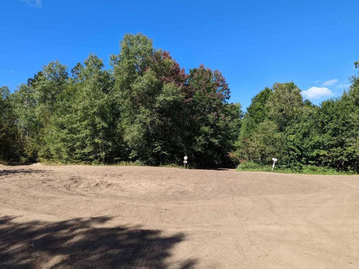
Marl Creek Road 765/760 Map

The onX Offroad Difference

onX Offroad combines trail photos, descriptions, difficulty ratings, width restrictions, seasonality, and more in a user-friendly interface. Available on all devices, with offline access and full compatibility with CarPlay and Android Auto. Discover what you're missing today!

Open Trail Map