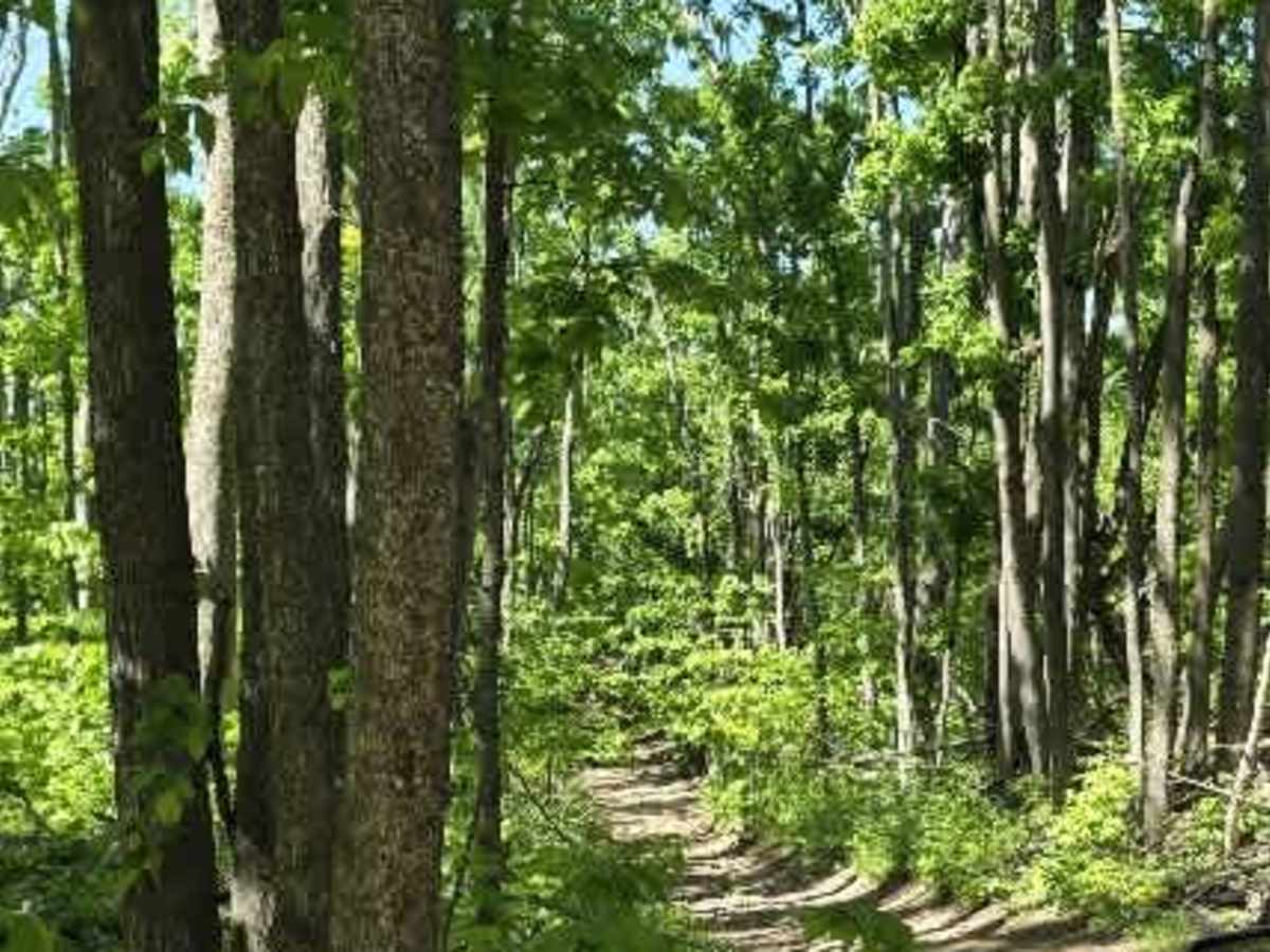
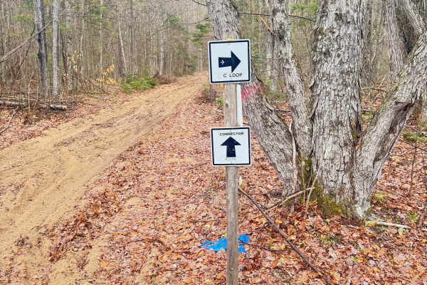
Trail Overview
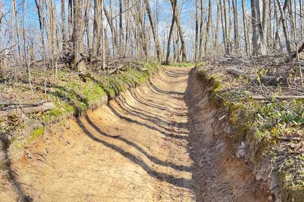
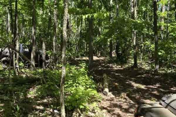
Dunham Road branches off the side of the Tomahawk C Loop and begins as a relatively easy hard-packed dirt trail before quickly narrowing into a more rugged two-track. The trail winds through dense forest, where low-hanging and fallen branches form a natural tunnel in several sections, creating a secluded and scenic ride.
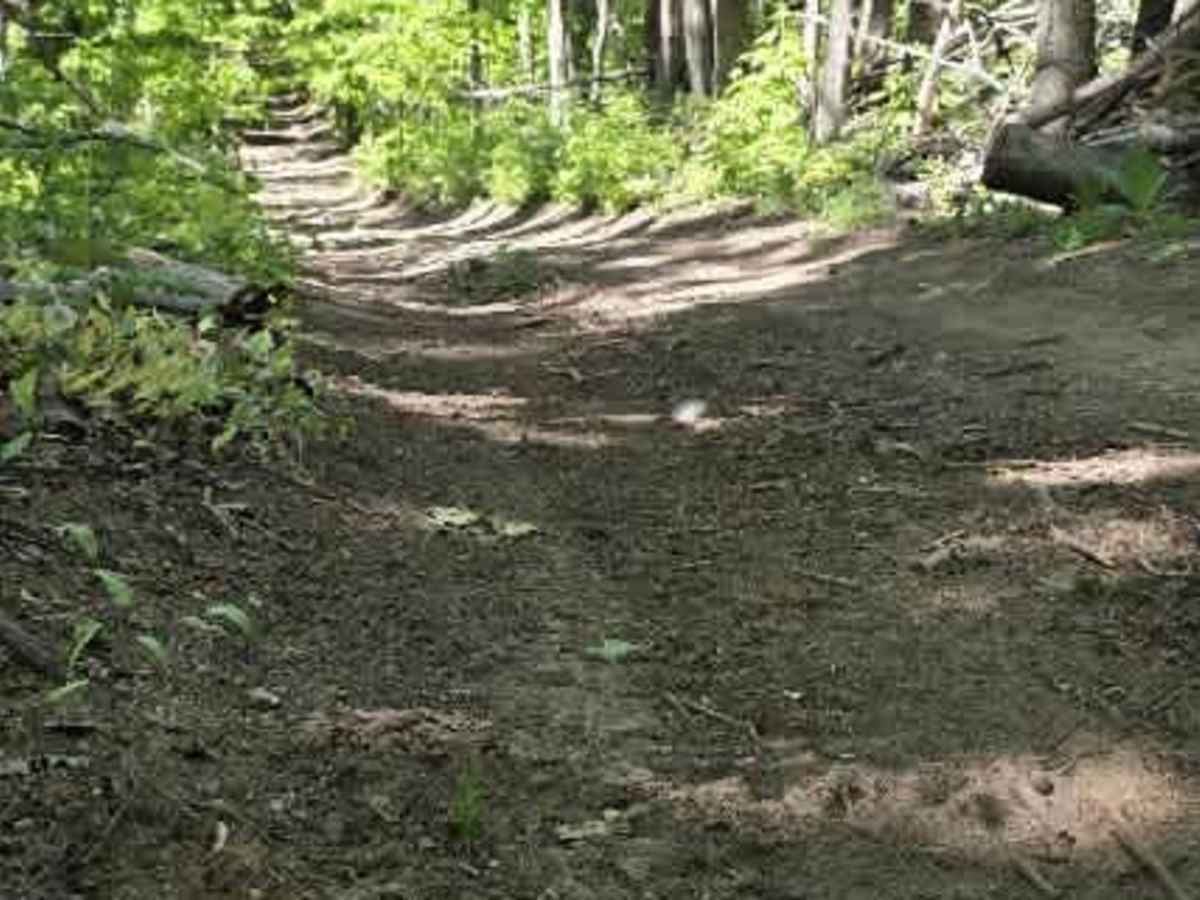
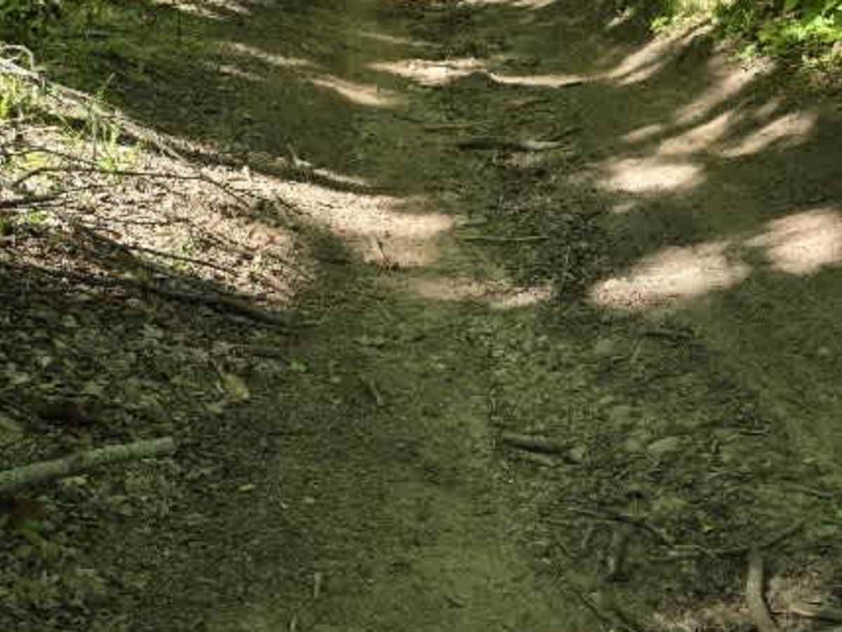
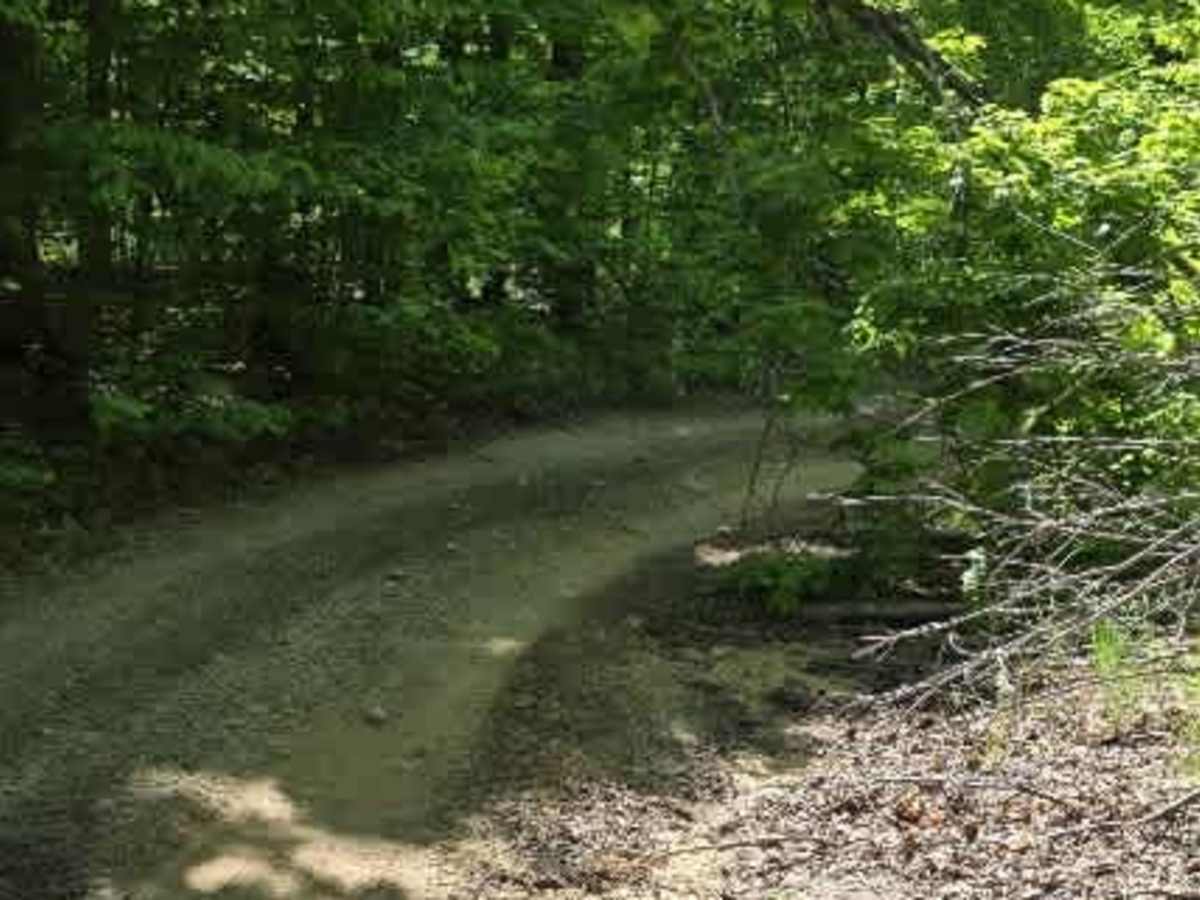
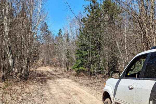
Expect a tight, narrow route with very few places to pull over and allow oncoming traffic to pass. The surface transitions from hard-packed dirt to a mix of sand and scattered rocks, requiring drivers to stay alert and pick careful lines in some areas. Brush crowds the trail in many locations, making pinstripes and minor vehicle scratches difficult to avoid.
Several off-camber sections reach up to 17 degrees, adding an extra challenge, especially during wet conditions. Along the route, there are a few small campsites suitable for rooftop tent setups, as well as one larger, deeper clearing that can accommodate both a vehicle and a ground tent.
Dunham Road eventually connects to the Perry Road Trail, making it a great link between trail systems while still offering a remote, backcountry feel. While the trail is not highly technical, its tight corridors, limited passing opportunities, and unavoidable brush make it best suited for drivers comfortable navigating narrow forest trails.