
Beginner Off-Road Trails
Near Whitwell, Tennessee
Explore All Beginner Trails Near Whitwell, Tennessee
Beginner Off-Road Trails Near Whitwell, Tennessee
Discover the best beginner-friendly off-road trails near you. These easier, lower-rated trails are a great place to start — browse trail maps, check difficulty ratings, and find your next adventure.
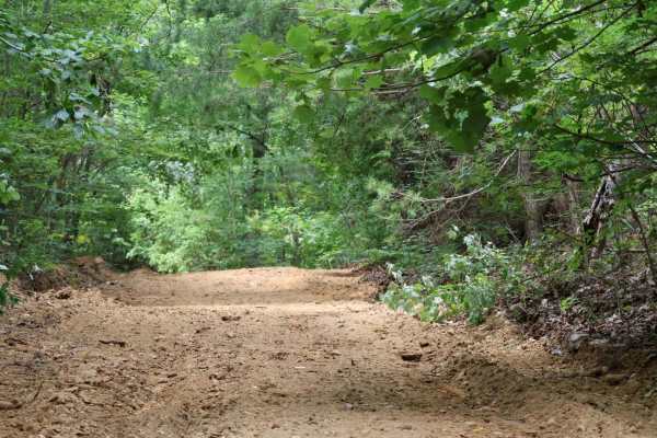
Inman Point Road
Inman Point Road is a scenic and moderately challenging trail nestled in the heart of Prentice Cooper State Forest. The trail kicks off with a steady incline featuring a mix of dirt and embedded rock—some of which reach up to 18 inches in size.
After the initial climb, the trail levels out into a w...
Learn more about Inman Point Road
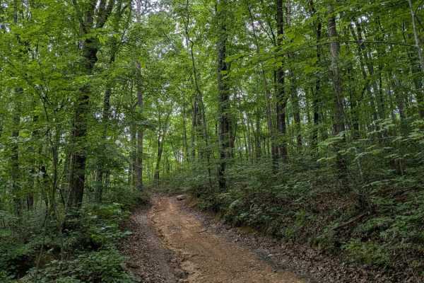
Inman Loop Road
Inman Loop Road is a primarily dirt trail through the woods on the western side of Prentice Cooper at the end of Inman Point Rd. The loop is the only way to access Limekiln Loop, Moore Rd, and Shingle Loop.
The trail does have some elevation change and a few rocky areas. All trails at Prentice Coop...
Learn more about Inman Loop Road
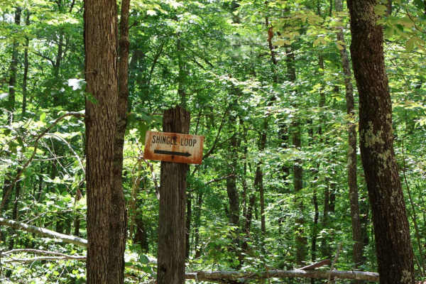
Shingle Loop
Shingle Loop is a short but fun 1.5-mile trail nestled in the heart of Prentice Cooper State Forest. Despite its compact distance, this loop delivers a variety of terrain and challenges that make it well worth the drive. The trail features multiple elevation changes and a series of scenic “S” turns ...
Learn more about Shingle Loop
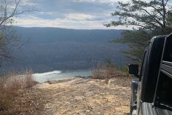
Tower Road
This is a very level and maintained road that any vehicle should be able to travel. This is the main road through Prentice Cooper Wildlife Management Area that you will use to access all of the other trails. There are some great views of Signal Mountain and the surrounding area from this trail. At t...
Learn more about Tower Road
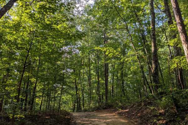
Braddison Branch Road
Braddison Branch Road is a primarily dirt trail on the northeast corner of Prentice Cooper. It can be slick and muddy after a rain, but otherwise it is an easy dirt trail through the woods. All trails at Prentice Cooper are subject to seasonal and weather-related closures. Prentice Cooper State For...
Learn more about Braddison Branch Road
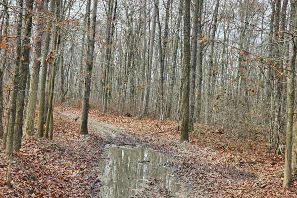
Sulfer Branch Road
Sulfer Branch Road is an easy single-lane gravel trail that is roughly two miles and takes about half an hour to complete. Multiple 2 Wheel Drive vehicles were on this trail, including minivans and small cars, along with many side-by-sides, 4-wheelers, and dirt bikes. This road winds through the for...
Learn more about Sulfer Branch Road

Limekiln Loop Road
Limekiln Loop Road is a wooded dirt trail that branches off of Inman Loop Rd. It will take you south to the edge of the gorge overlooking the Tennessee River, but the view is typically obscured by trees. All trails at Prentice Cooper are subject to seasonal and weather-related closures. More informa...
Learn more about Limekiln Loop Road

Rally Road
Rally Road is a short, relatively steep connector trail between Tower Road and East Brow Rd. On the Tower Road end, there is a nice pavilion with shaded picnic tables. All trails at Prentice Cooper are subject to seasonal and weather-related closures. More information can be found at https://www.tn....
Learn more about Rally Road
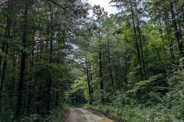
Lusk Point Road
Lusk Point Road is a dirt trail that leads from Tower Road to Lusk Point Overlook. It is primarily a dirt trail through the woods. The overlook is nice when the trees are bare, but otherwise is obscured by leaves unless you take a short walk along the nearby hiking trail. All trails at Prentice Coop...
Learn more about Lusk Point Road
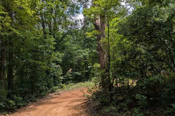
Sheep Rock Road
Sheep Rock Road is another short spur trail off of the main Tower Road trail. It is a smooth dirt/gravel path through the woods that leads to a small clearing at the end. All trails at Prentice Cooper are subject to seasonal and weather-related closures. More information can be found at https://www....
Learn more about Sheep Rock Road

Sheep Rock Road S
Sheep Rock Road South is another portion of Sheep Rock Road, a trail just north of this one. I believe they may have connected at one time, but are currently two separate trails. This trail is an easy dirt trail through the woods that branches off of the main Tower Road trail.
All trails at Prentic...
Learn more about Sheep Rock Road S
East Brow Road
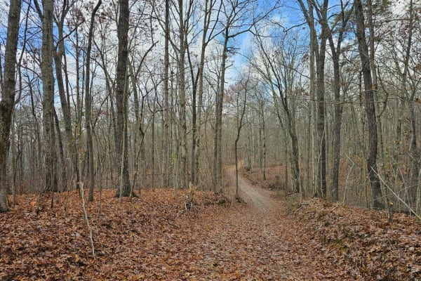
East Brow Road is an easy single-lane gravel trail that is roughly two miles and takes about half an hour to complete. The road is well-maintained and winds through the forest, with one spot along the trail that could be difficult without higher ground clearance. The trail has a spot where you can s...
Learn more about East Brow Road

Snooper's Rock Road
Snoopers Rock Road is a very short dirt trail that leads to one of the best overlooks in the area. After taking the short trail, you can hike down to the overlook for an amazing view. The hike is only a few hundred feet at most. All trails at Prentice Cooper are subject to seasonal and weather-relat...
Learn more about Snooper's Rock Road
Richie Point Road
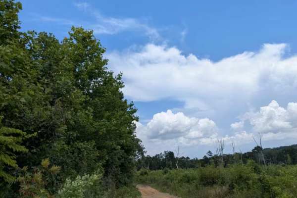
Richie Point Road is another short dirt trail that shoots off from the main Tower Road trail. It is an easy dirt trail that leads to a dead end with a view obscured by trees. All trails at Prentice Cooper are subject to seasonal and weather-related closures. More information can be found at https://...
Learn more about Richie Point Road
Pot Point Road
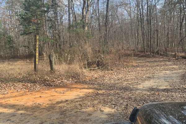
Pot Point Road offers a scenic and approachable offroad drive through the heart of Prentice Cooper State Forest on Tennessee’s Cumberland Plateau. Running roughly 5.1 miles, this dirt and gravel route features a mild elevation profile ranging between 1,744 and 1,986 feet with about 516 feet of climb...
Learn more about Pot Point Road
Railey Road
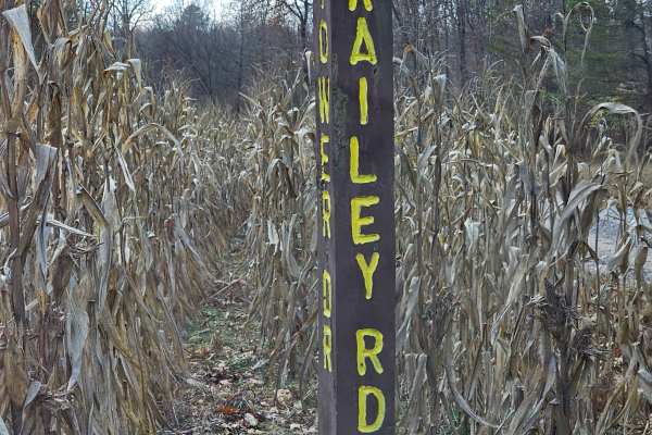
Railey Road is a narrow trail, mainly single-track dirt, with many mud holes, and ends in a marked dead-end roundabout. It begins well-maintained path, but quickly transitions into more natural terrain with many mud holes along the short 0.7-mile road.
The trail ends in a roundabout with just enoug...
Learn more about Railey Road
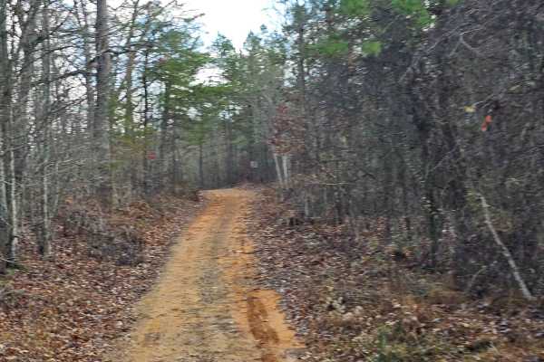
Mule Trail
Mule Road is a narrow single-track dirt trail. It is a short trail that goes down to a roundabout and back. The trail is a relatively well-maintained path with a mud hole. This trail can be done in less than 10 minutes. The trail seemed to be used by hunters.
Learn more about Mule Trail
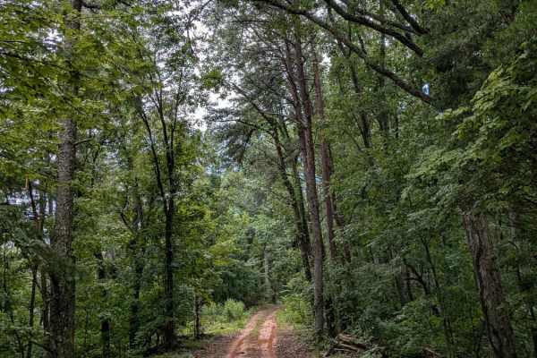
Minchner Point Road
Minchner Point Road is an easy dirt trail through the woods. It is on the west side of Prentice Cooper and connects the main Tower Road trail to Dry Branch Road. All trails at Prentice Cooper are subject to seasonal and weather-related closures. More information can be found at https://www.tn.gov/ag...
Learn more about Minchner Point Road
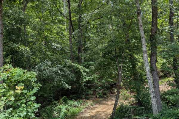
Ellis Point Road
This is the beginning portion of Ellis Point Rd. It is well maintained, but steep in a a couple of places. The trail is primarily dirt and mostly wooded.
All trails at Prentice Cooper are subject to seasonal and weather related closures.
More information can be found at https://www.tn.gov/agricult...
Learn more about Ellis Point Road
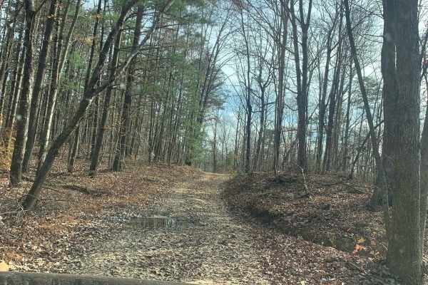
Dry Branch Road
Dry Branch Road is an ideal route for offroaders seeking a scenic, moderately challenging drive through the dense canopy of Prentice Cooper State Forest. Covering approximately 3.1 miles with elevations ranging from 1,438 to 1,842 feet, this unpaved route offers stunning mountain views as it winds t...
Learn more about Dry Branch Road
Beginner ATV trails near Whitwell, Tennessee
Explore ATV-friendly trails near you. These trails are accessible for vehicles up to 50 inches wide, perfect for ATVs and smaller off-road machines.
Inman Point Road
Inman Point Road is a scenic and moderately challenging trail nestled in the heart of Prentice Cooper State Forest. The trail kicks off with a steady incline featuring a mix of dirt and embedded rock—some of which reach up to 18 inches in size.
After the initial climb, the trail levels out into a w...
Learn more about Inman Point Road
Inman Loop Road
Inman Loop Road is a primarily dirt trail through the woods on the western side of Prentice Cooper at the end of Inman Point Rd. The loop is the only way to access Limekiln Loop, Moore Rd, and Shingle Loop.
The trail does have some elevation change and a few rocky areas. All trails at Prentice Coop...
Learn more about Inman Loop Road
Shingle Loop
Shingle Loop is a short but fun 1.5-mile trail nestled in the heart of Prentice Cooper State Forest. Despite its compact distance, this loop delivers a variety of terrain and challenges that make it well worth the drive. The trail features multiple elevation changes and a series of scenic “S” turns ...
Learn more about Shingle Loop
Tower Road
This is a very level and maintained road that any vehicle should be able to travel. This is the main road through Prentice Cooper Wildlife Management Area that you will use to access all of the other trails. There are some great views of Signal Mountain and the surrounding area from this trail. At t...
Learn more about Tower Road
Beginner UTV/side-by-side trails near Whitwell, Tennessee
Find UTV and side-by-side trails near you. These trails accommodate vehicles up to 60 inches wide, ideal for UTVs, side-by-sides, and wider off-road rigs.
Inman Point Road
Inman Point Road is a scenic and moderately challenging trail nestled in the heart of Prentice Cooper State Forest. The trail kicks off with a steady incline featuring a mix of dirt and embedded rock—some of which reach up to 18 inches in size.
After the initial climb, the trail levels out into a w...
Learn more about Inman Point Road
Inman Loop Road
Inman Loop Road is a primarily dirt trail through the woods on the western side of Prentice Cooper at the end of Inman Point Rd. The loop is the only way to access Limekiln Loop, Moore Rd, and Shingle Loop.
The trail does have some elevation change and a few rocky areas. All trails at Prentice Coop...
Learn more about Inman Loop Road
Shingle Loop
Shingle Loop is a short but fun 1.5-mile trail nestled in the heart of Prentice Cooper State Forest. Despite its compact distance, this loop delivers a variety of terrain and challenges that make it well worth the drive. The trail features multiple elevation changes and a series of scenic “S” turns ...
Learn more about Shingle Loop
Tower Road
This is a very level and maintained road that any vehicle should be able to travel. This is the main road through Prentice Cooper Wildlife Management Area that you will use to access all of the other trails. There are some great views of Signal Mountain and the surrounding area from this trail. At t...
Learn more about Tower Road
The onX Offroad Difference
onX Offroad combines trail photos, descriptions, difficulty ratings, width restrictions, seasonality, and more in a user-friendly interface. Available on all devices, with offline access and full compatibility with CarPlay and Android Auto. Discover what you're missing today!
Open Trail Map