
Beginner Off-Road Trails
Near Wheatfields, Arizona
Explore All Beginner Trails Near Wheatfields, Arizona
Beginner Off-Road Trails Near Wheatfields, Arizona
Discover the best beginner-friendly off-road trails near you. These easier, lower-rated trails are a great place to start — browse trail maps, check difficulty ratings, and find your next adventure.
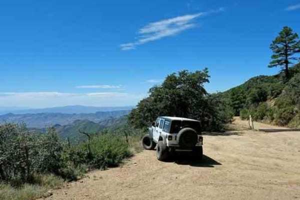
Pioneer Pass
Pioneer Pass starts near the center of Globe, circles the south side of Pinal Peak, and ends on Forest Service Road 651 leading to Pinal Peak. Climb to Pioneer Pass at 6,000' elevation, drop into Pioneer and Bobtail Basins at 5,000' then climb back up to 6,000' on the Pinal Peak Road. An enjoyable...
Learn more about Pioneer Pass
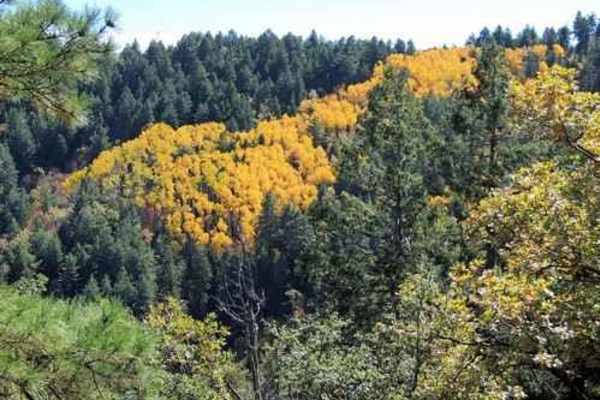
Pinto to Pinal
This Jeep trail is 50 miles, including the road up to and down from Pinal Peak and the one out to Madera Peak.This series of easy, scenic roads will take you from Pinto Mine Road on US 60 to the summit of Pinal Peak, out to Madera Peak for some nice overlooks then down into Globe. The very southwest...
Learn more about Pinto to Pinal
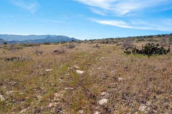
FS 3271A
This very old and overgrown track runs along the eastern side of the mesa, offering absolutely stunning views as it descends toward a fenced wildlife water catchment development. The trail travels through open grassy mesa terrain mixed with low desert vegetation, cacti, and scrub. Throughout the dri...
Learn more about FS 3271A
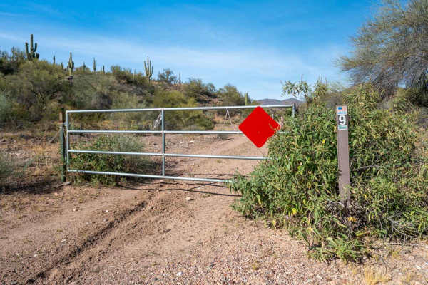
Braddock Creek - FS 9
This sandy and rocky trail winds its way down a wash, offering a fun and scenic alternative to Cherry Creek Road, which runs parallel nearby. The route is mostly easy to navigate, with some overgrown vegetation in places, but nothing too restrictive. It’s an enjoyable drive as the trail meanders thr...
Learn more about Braddock Creek - FS 9
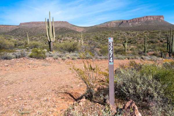
Braddock Creek - FS 3274
This trail drops quickly into a sandy wash where the driving is mostly easy and flat, surrounded by dense vegetation lining the canyon walls. After following the wash for a while, the route climbs out along the edge of the canyon, opening up to beautiful views of Black Mesa in the distance and sagua...
Learn more about Braddock Creek - FS 3274
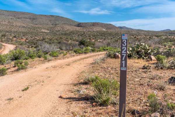
Black Mesa - FS 3271
This two-track branches off the very easy, graded Cherry Creek Road and winds its way up toward the top of Black Mesa. The route climbs almost the entire way. Early on, you drop into and out of a few easy washes with short, rocky climbs on the exits. As you gain elevation, the trail becomes smaller ...
Learn more about Black Mesa - FS 3271
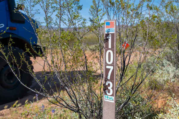
Bar Eleven Road - FS 1073
This easy two-track features mostly smooth terrain with a few mild washouts that create occasional off-camber sections. There are several good dispersed camp spots along the road, making it a nice option for a quiet overnight stay. Some tighter stretches of palo verde line the trail and may leave yo...
Learn more about Bar Eleven Road - FS 1073
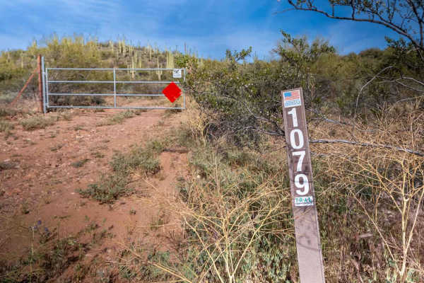
FS 1079
This rocky, bumpy two-track begins with a steady climb up a saguaro-covered hillside, with several great camp spots offering beautiful views along the way. About 0.2 miles in, keep an eye out on the right for a unique crested saguaro. As you continue climbing, the trail opens up onto a large plateau...
Learn more about FS 1079
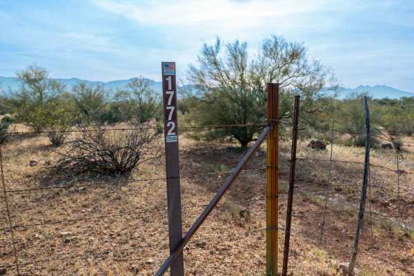
FS 1772
This tight, lightly traveled trail winds through overgrown vegetation and feels seldom used, with brush crowding the corridor for much of the drive. Along the way, you’ll be surrounded by beautiful, massive saguaros and catch great views of Roosevelt Lake in the distance. The route eventually dead-e...
Learn more about FS 1772
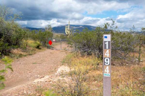
FS 1494
This trail is a mix of rocky and sandy two-track that passes through a small wash early on, with very little elevation change along the route. A few good dispersed camping spots are scattered along the trail, and you’ll have great views of Aztec Peak and the Angel Wings rock formation high on the ri...
Learn more about FS 1494
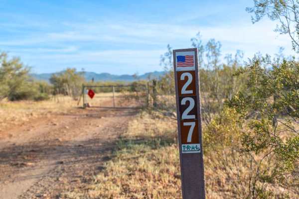
FS 227
This trail begins as a wide, open dirt road heading toward Roosevelt Lake, with several excellent camp spots along the way that can easily accommodate larger groups of 6 to 8 rigs. The road stays relatively wide and easy for most of the route, though a few washouts create mild off-camber sections. A...
Learn more about FS 227
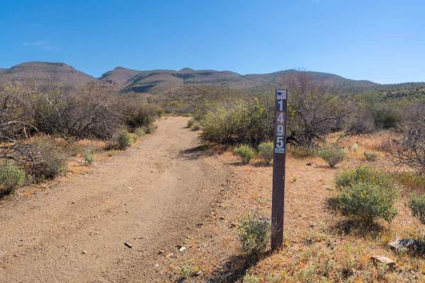
FS 1495
This rocky two-track climbs steadily up the side of a hill, weaving through tight, overgrown trees that narrow the trail. Despite the tighter corridor, the drive is incredibly scenic with sweeping views of Roosevelt Lake, Angel Wings, and the surrounding desert filled with saguaros. As you gain elev...
Learn more about FS 1495
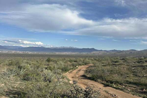
FS 1457
This road connects Forest Service Road 83 to a network of other trails that are a little more difficult. There are some gates you will have to go through, and since this is near a working ranch, be sure to close them after going through. You will get pin striping on this trail as it is narrow with a...
Learn more about FS 1457
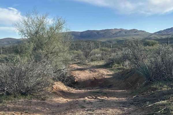
FS 1738
FS 1738 is a fun little trail with a few washouts that leads to a network of other trails. The majority of this trail goes in and out of a wash that is full of cattle, so be very aware of your speed. This trail will change with rain as the sides of the wash get washed out. When turning off Highway 1...
Learn more about FS 1738
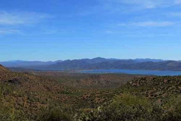
A-Cross Road
A-Cross Road is an easy and highly scenic 25-mile route north of Theodore Roosevelt Lake, making it an excellent option for beginners, overland travelers, and scenic drivers looking to explore the Arizona backcountry. Starting near State Route 188 on the west, this graded dirt road winds eastward th...
Learn more about A-Cross Road
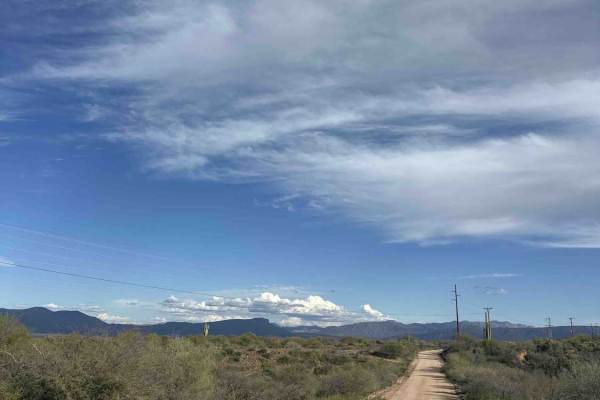
FS 83
The trail turns south off Highway 188 near Roosevelt Lake. This route is a smooth and wide road that leads to a ranch at the end. Please be aware of animals. There are signs up towards the end of the trail stating no camping due to a watering hole nearby. When looking south, you do get great views o...
Learn more about FS 83
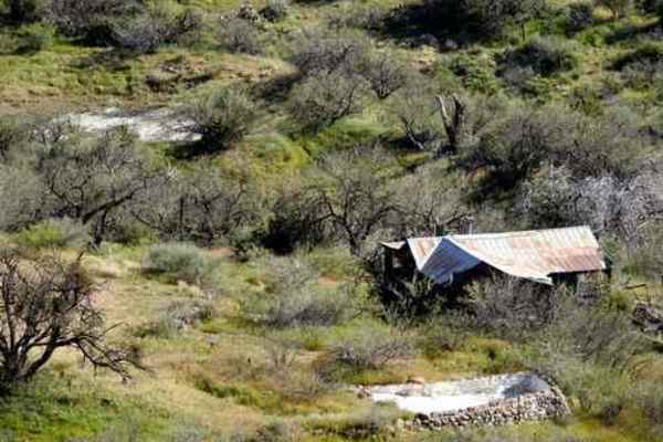
Swimming Pool House
This is a short trail to a very cool abandoned house. You will see the house as the Young Road starts to climb toward the mountains. It must have been quite a property in its day - a swimming pool, flagstone patio, and a fantastic view right in the middle of nowhere.
Learn more about Swimming Pool House
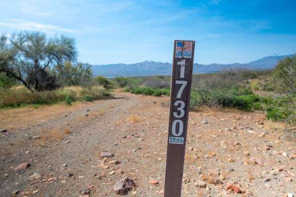
FS 1730
This tight trail descends gradually toward the edge of the lake, with a few dips in and out of washes along the way. The route is mostly straightforward but consistently rocky and bumpy, making high clearance necessary. Dense, tight vegetation lines the trail and will almost certainly result in some...
Learn more about FS 1730
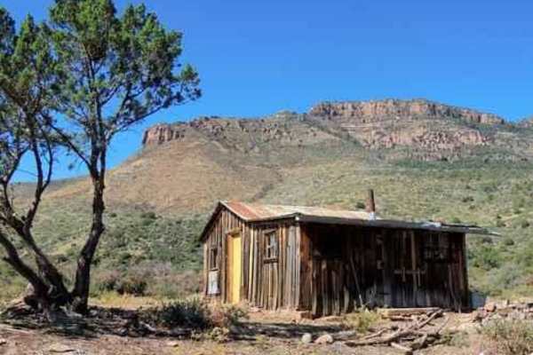
Oak Creek Cabin
A fairly easy road to an old cabin at the edge of the Sierra Ancha Wilderness. The cabin is in good shape and even has a few canned goods and (empty) booze bottles.You can take a spur road to an overlook of the Salt River Basin. Interesting if you have time, but probably no better than what you see ...
Learn more about Oak Creek Cabin
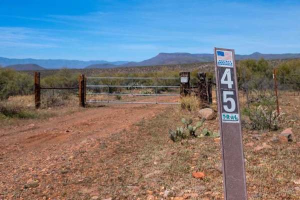
FS 45
This rocky two-track begins by passing through an old ranch area before continuing into a dense saguaro forest. The trail features some tight sections from vegetation, washouts, and follows what is essentially a very mild shelf road along the side of the mountain. While the exposure is limited due t...
Learn more about FS 45
Beginner ATV trails near Wheatfields, Arizona
Explore ATV-friendly trails near you. These trails are accessible for vehicles up to 50 inches wide, perfect for ATVs and smaller off-road machines.
Pioneer Pass
Pioneer Pass starts near the center of Globe, circles the south side of Pinal Peak, and ends on Forest Service Road 651 leading to Pinal Peak. Climb to Pioneer Pass at 6,000' elevation, drop into Pioneer and Bobtail Basins at 5,000' then climb back up to 6,000' on the Pinal Peak Road. An enjoyable...
Learn more about Pioneer Pass
Pinto to Pinal
This Jeep trail is 50 miles, including the road up to and down from Pinal Peak and the one out to Madera Peak.This series of easy, scenic roads will take you from Pinto Mine Road on US 60 to the summit of Pinal Peak, out to Madera Peak for some nice overlooks then down into Globe. The very southwest...
Learn more about Pinto to Pinal
FS 3271A
This very old and overgrown track runs along the eastern side of the mesa, offering absolutely stunning views as it descends toward a fenced wildlife water catchment development. The trail travels through open grassy mesa terrain mixed with low desert vegetation, cacti, and scrub. Throughout the dri...
Learn more about FS 3271A
Braddock Creek - FS 9
This sandy and rocky trail winds its way down a wash, offering a fun and scenic alternative to Cherry Creek Road, which runs parallel nearby. The route is mostly easy to navigate, with some overgrown vegetation in places, but nothing too restrictive. It’s an enjoyable drive as the trail meanders thr...
Learn more about Braddock Creek - FS 9
Beginner UTV/side-by-side trails near Wheatfields, Arizona
Find UTV and side-by-side trails near you. These trails accommodate vehicles up to 60 inches wide, ideal for UTVs, side-by-sides, and wider off-road rigs.
Pioneer Pass
Pioneer Pass starts near the center of Globe, circles the south side of Pinal Peak, and ends on Forest Service Road 651 leading to Pinal Peak. Climb to Pioneer Pass at 6,000' elevation, drop into Pioneer and Bobtail Basins at 5,000' then climb back up to 6,000' on the Pinal Peak Road. An enjoyable...
Learn more about Pioneer Pass
Pinto to Pinal
This Jeep trail is 50 miles, including the road up to and down from Pinal Peak and the one out to Madera Peak.This series of easy, scenic roads will take you from Pinto Mine Road on US 60 to the summit of Pinal Peak, out to Madera Peak for some nice overlooks then down into Globe. The very southwest...
Learn more about Pinto to Pinal
FS 3271A
This very old and overgrown track runs along the eastern side of the mesa, offering absolutely stunning views as it descends toward a fenced wildlife water catchment development. The trail travels through open grassy mesa terrain mixed with low desert vegetation, cacti, and scrub. Throughout the dri...
Learn more about FS 3271A
Braddock Creek - FS 9
This sandy and rocky trail winds its way down a wash, offering a fun and scenic alternative to Cherry Creek Road, which runs parallel nearby. The route is mostly easy to navigate, with some overgrown vegetation in places, but nothing too restrictive. It’s an enjoyable drive as the trail meanders thr...
Learn more about Braddock Creek - FS 9
The onX Offroad Difference
onX Offroad combines trail photos, descriptions, difficulty ratings, width restrictions, seasonality, and more in a user-friendly interface. Available on all devices, with offline access and full compatibility with CarPlay and Android Auto. Discover what you're missing today!
Open Trail Map