A-Cross Road

Total Miles25.3
Technical Rating
2Easy
Best TimeSpring, Winter, Fall
Trail TypeFull-Width Road
Accessible By
Open Trail Map

Trail Overview

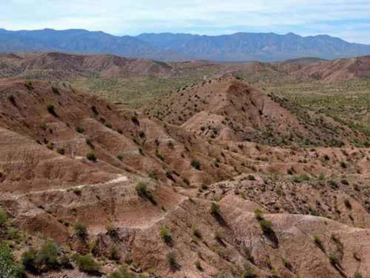
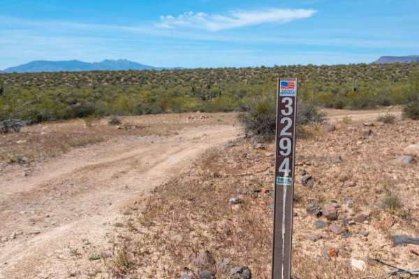
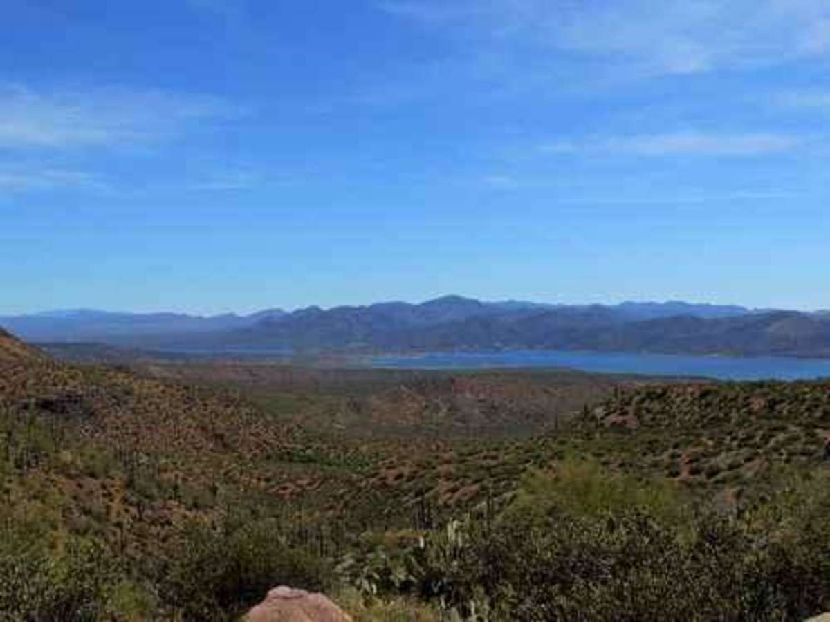
A-Cross Road is an easy and highly scenic 25-mile route north of Theodore Roosevelt Lake, making it an excellent option for beginners, overland travelers, and scenic drivers looking to explore the Arizona backcountry. Starting near State Route 188 on the west, this graded dirt road winds eastward through rolling desert hills and offers uninterrupted, wide-open views of the reservoir and the dramatic Sierra Ancha Mountains. The trail climbs from a minimum elevation of approximately 2,150 feet up to a peak of 3,440 feet, presenting a total cumulative elevation gain of around 2,335 feet. Although the route is highly accessible and suitable for standard passenger vehicles under dry conditions, drivers should be aware of a section of highly erosive soil near the western end that can develop deep ruts and washouts after heavy rainfall. The journey traverses the beautiful, rugged landscapes of the Tonto National Forest, where drivers will find numerous opportunities for dispersed camping, wildlife viewing, and accessing more technical side trails. Along the way, the road crosses several seasonal washes that are typically dry but can flow during the summer monsoon season or winter storms, so monitoring local weather is recommended. This route serves as a perfect year-round driving destination, though the late fall, winter, and spring months offer the most comfortable temperatures for stepping out to enjoy the scenery. No permits are required to travel this route, but standard national forest regulations apply.

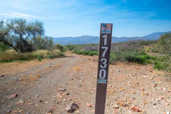
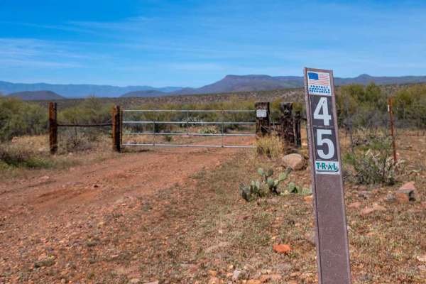
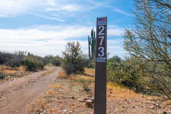
Photos of A-Cross Road

Difficulty

An easy well-maintained trail with good views

Technical Rating

2

Status Reports

Add Status Report
Michael Aquino
Aug 23, 2025
Permanently Closed
Posted Private PropertyHeavily Barricaded with Natural Material
Can’t even tell there’s a turn in off the highway, big boulders blocking entrance
Andrew Richard
Mar 08, 2025
2024 Toyota Tundra
Open
Muddy/Wet
The trail itself is not closed, but the original access point across Tonto Creek is closed due to flooding hazards. Cross further north at Bar X or the Tonto Creek Bridge to access A Cross Road
Frederick Smith
Jan 31, 2025
Temporarily Closed
Closed Gate
Huge rocks blocking the west entry, barbed wire fencing as well.
Rob Griffin
Dec 30, 2024
Open
NormalDustyWashboard
John Roe
Dec 04, 2024
2021 Ford F-Series
Open
NormalDusty
Absolutely gorgeous day! Trail is passible in almost any vehicle right now, 4x4 not required. Dusty!
Russ H
Sep 27, 2024
Temporarily Closed
tonto river crossing closed for bridge construction. a cross can be accessed from route 188 via bar x crossing. road is still open on route 288 in willow
JT Annable
Sep 21, 2024
2024 Toyota Tacoma
Permanently Closed
Heavily Barricaded with Natural Material
John Roe
Jun 08, 2024
2021 Ford F-Series
Open
NormalDustyMuddy/WetRough/DeterioratedWashboard
Richard Standage
May 18, 2024
2021 Jeep Wrangler
Permanently Closed
A Crossing is closed right at HWY 188. Re- vegetation process at Tonto Creek (closed permantly). Alternate route is to go NW to Bar X road and work your way around back to A Crossing road.
Lakshu Periakaruppan
May 05, 2024
2021 Jeep Cherokee
Open
Normal
Easy dirt road suitable for any suv/truck. Couple shallow creek crossing on the west end.
Chris Kiley
Nov 24, 2023
Open
Normal
David & Suanne Louton
Jun 16, 2023
Open
Normal
Josh Benson
May 03, 2023
Temporarily Closed
Trail Restoration

A-Cross Road Trail can be accessed by the following ride types:

  • Single Track
  • 50 Inch
  • 60 Inch
  • High Clearance
  • Full Width

Access Description

A-Cross Road is located within the Tonto National Forest and is free to access without any permits or fees. Dispersed camping is allowed along the corridor in accordance with national forest guidelines, but visitors must pack out all trash and respect seasonal fire restrictions.

A-Cross Road Map

The onX Offroad Difference

onX Offroad combines trail photos, descriptions, difficulty ratings, width restrictions, seasonality, and more in a user-friendly interface. Available on all devices, with offline access and full compatibility with CarPlay and Android Auto. Discover what you're missing today!

Open Trail Map