
Beginner Off-Road Trails
Near South Union, South Carolina
Explore All Beginner Trails Near South Union, South Carolina
Beginner Off-Road Trails Near South Union, South Carolina
Discover the best beginner-friendly off-road trails near you. These easier, lower-rated trails are a great place to start — browse trail maps, check difficulty ratings, and find your next adventure.
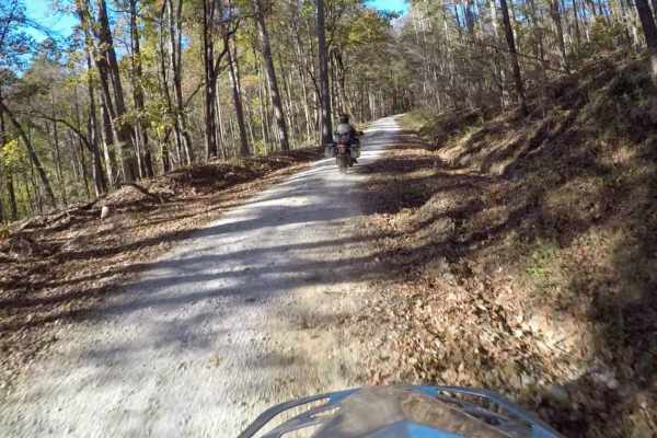
South Carolina Adventure Route Segment 3
Segment 3 is the "upstate" section of the SCAR, and is bookended by the towns of Westminster and Gaffney. This section transits the Blue Ridge Mountains and consists of some fabulous gravel roads with a few notable climbs and descents. It is interspersed with some beautiful paved sections--including...
Learn more about South Carolina Adventure Route Segment 3
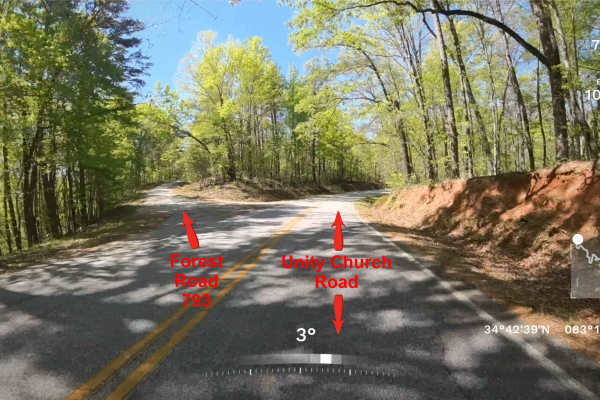
FS 793
Forest Service Road 793 is a straightforward out-and-back trail located within the scenic stretches of Sumter National Forest, just beyond the Georgia/South Carolina line. The route follows an easy, mostly single-lane gravel road with no notable obstacles, making it accessible to nearly any vehicle,...
Learn more about FS 793
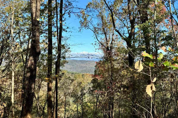
Lee Mountain Road - FS 181
Lee Mountain Road (FS 181) is a fun mix of gravel and mud, with a few ruts and mud holes to keep things interesting! If your vehicle doesn't have decent ground clearance or 4x4, you might find some sections a bit tricky--especially after it rains, when the trail can get pretty slick. The trail start...
Learn more about Lee Mountain Road - FS 181
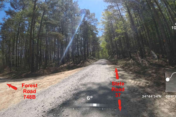
Forest Road 748B
This is an out-and-back trail that follows an easy, mostly single-lane gravel road for the first 3/4 of the trail. When you pass the large turnaround area, the trail gets narrow and has some small hills and slight off-camber areas that any higher clearance vehicle will have no problem with. It meand...
Learn more about Forest Road 748B
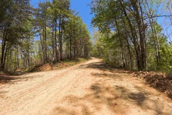
Forest Road 744C
Forest Service Road 744C is a simple out-and-back trail located within the scenic sections of Sumter National Forest just beyond the Georgia/South Carolina line. The route follows an easy, mostly single-lane gravel road with no major obstacles, making it suitable for nearly any vehicle, including st...
Learn more about Forest Road 744C
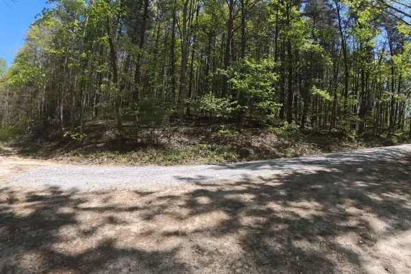
FS 744I
FS 744I is a simple out-and-back trail located within the scenic stretches of Sumter National Forest just beyond the Georgia/South Carolina line. The route follows an easy, mostly single-lane gravel and dirt road with no significant obstacles, making it suitable for nearly any vehicle, including sta...
Learn more about FS 744I
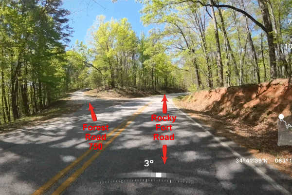
FS 750
This trail connects Rocky Ford Rd to State Road 37, which is an easy, mostly single-lane gravel road through the Sumter National Forest just beyond the Georgia/South Carolina line. The route has no notable obstacles, and most vehicles should be able to travel it without difficulty. The area is quiet...
Learn more about FS 750
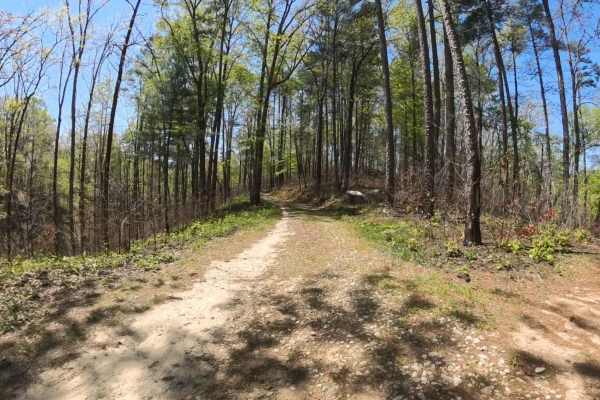
FS 2658
FS 2658 is a short out-and-back, single-lane gravel road that branches off FS 744C within the scenic sections of Sumter National Forest. The trail winds through peaceful forest terrain with several small hills and gentle elevation changes along the route. While the road may be narrow in places, most...
Learn more about FS 2658
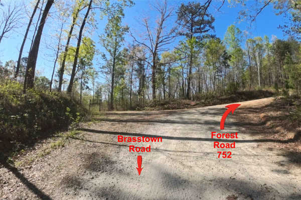
Forest Road 752
This is an out-and-back trail that follows an easy, mostly single-lane gravel road through scenic sections of Sumter National Forest just beyond the Georgia/South Carolina line. The route has no notable obstacles, and most vehicles should be able to travel it without difficulty. The area is quiet an...
Learn more about Forest Road 752
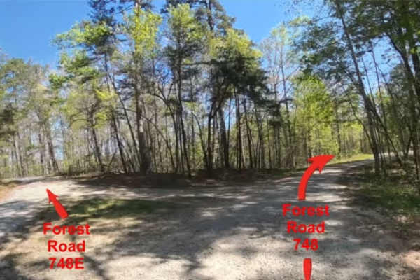
FS 748E
This is an out-and-back trail that follows an easy, mostly single-lane gravel road through scenic sections of Sumter National Forest just beyond the Georgia/South Carolina line. The route has no notable obstacles, and most vehicles should be able to travel it without difficulty. The area is quiet an...
Learn more about FS 748E
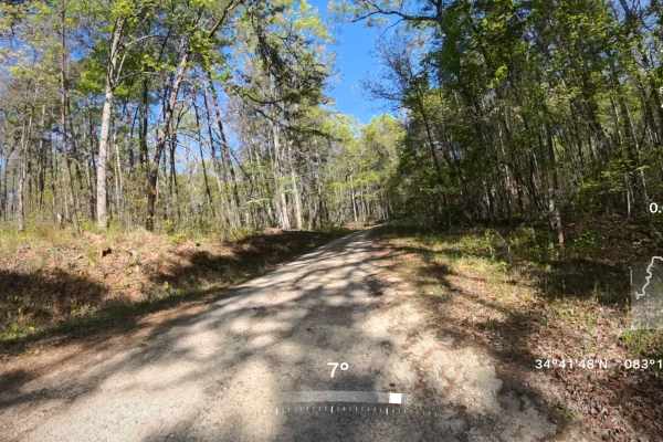
Forest Road 752B
This is an out-and-back side trail that follows an easy, mostly single-lane gravel road through scenic sections of Sumter National Forest just over the Georgia/South Carolina line. There are a few washed areas along the route, especially midway and farther in, but most vehicles should still be able ...
Learn more about Forest Road 752B

FS 748K
FS 748K is a simple out-and-back spur branching off FS 748, located within the scenic stretches of Sumter National Forest just beyond the Georgia/South Carolina line. The route follows an easy, mostly single-lane gravel road with no significant obstacles, making it suitable for nearly any vehicle, ...
Learn more about FS 748K
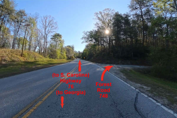
FS 748
FS 748 is a straightforward out-and-back trail located within the scenic stretches of Sumter National Forest, just beyond the Georgia/South Carolina line. The route follows an easy, mostly single-lane gravel road with no notable obstacles, making it accessible to nearly any vehicle, including standa...
Learn more about FS 748
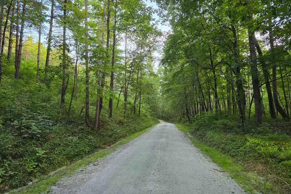
Cedar Creek Rifle Range - FS 726
Cedar Creek Rifle Range - FS 738A turns off Cassidy Bridge Road at the rifle range sign and runs into the range itself. This 1/10 trail is graded gravel and easy the whole way, built to carry regular passenger traffic into the site. The range at the end has five shooting tables, three of them under ...
Learn more about Cedar Creek Rifle Range - FS 726
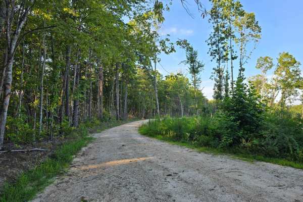
Crooked Creek - FS 743
Crooked Creek - FS 743 runs east through mixed pine and hardwood. This 1/10 trail is graded gravel the whole way and stays easy from start to finish. Toward the end, a section of forest has been cleared out, opening up good views across the ridges, and the road finishes at a large open parking area ...
Learn more about Crooked Creek - FS 743
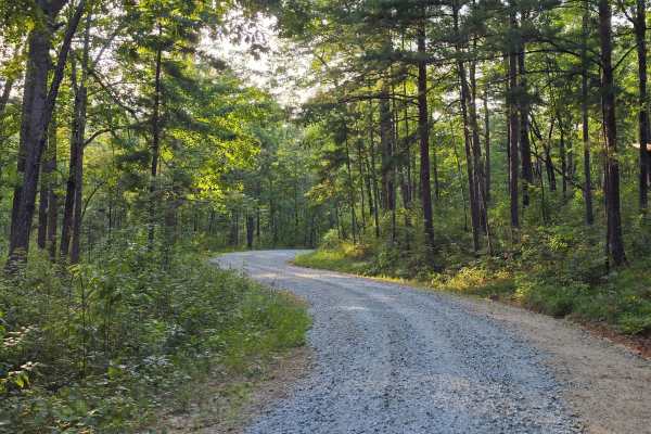
Bone Camp - FS 738
Bone Camp - FS 738 runs the ridge above Bone Camp Creek through mixed pine and hardwood, holding well-graded gravel the whole way. This 1/10 trail stays easy from start to finish, with a broad gravel junction partway along where Bone Camp A splits off. There isn't much in the way of standout feature...
Learn more about Bone Camp - FS 738
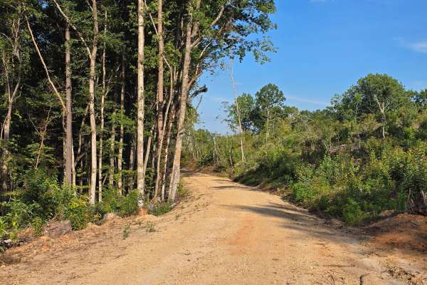
Double Branch - FS 742
Double Branch - FS 742 runs south through the forest, tracing Double Branch down to a bank access at the end. This 1/10 trail is graded gravel and dirt throughout, freshly surfaced in long stretches and easy going the whole way. The middle section passes through active timber ground — fresh cuts, pa...
Learn more about Double Branch - FS 742
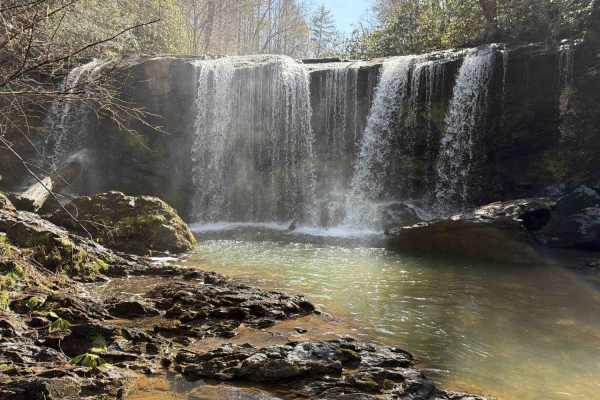
Brasstown Falls - FS 751
The Brasstown Falls trail, also known as FS 751, is a short and easy trail that takes you from the Brasstown Road to a hiking trail that gives you access to the beautiful Brasstown Falls. It is a gravel forestry road with some soft sand spots that can turn into mud holes after heavy rain. The road i...
Learn more about Brasstown Falls - FS 751
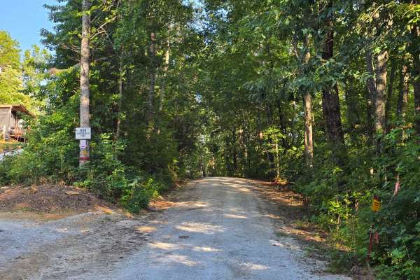
Sand Branch - FS 770
Sandbranch - FS 770 drops southeast off Mester Road and winds down toward the Chauga River, ending at a wide gravel turnaround at Spider Valley Bank. This 1/10 trail is graded gravel the whole way and stays easy from start to finish, climbing and bending through regenerating cut before the final des...
Learn more about Sand Branch - FS 770
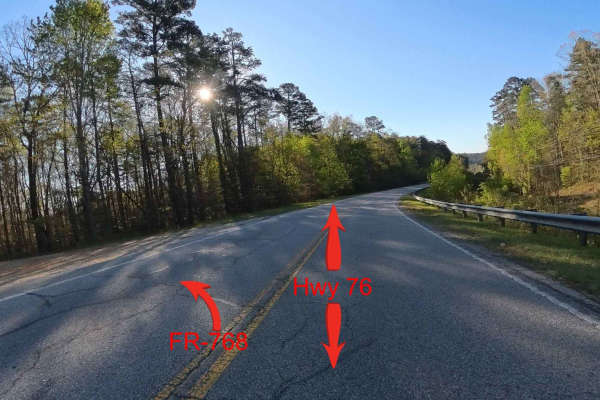
Forest Route 768
This is an out-and-back side trail that follows an easy, mostly two-lane gravel road through scenic sections of the Sumpter National Forest just over the Georgia/South Carolina border. There are no obstacles, and most vehicles should be able to travel the road without difficulty; however, caution ne...
Learn more about Forest Route 768
Beginner ATV trails near South Union, South Carolina
Explore ATV-friendly trails near you. These trails are accessible for vehicles up to 50 inches wide, perfect for ATVs and smaller off-road machines.
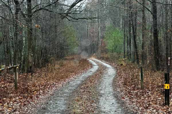
Black Mountain Road - FSR 139
Black Mountain Road is an out-and-back trail that gets you near the top of Black Mountain (1509ft). This route has a special designation and is only open from 8/30-1/9. This area is used for hunting, so be sure to be aware of your surroundings, and if you get out to hike to the top of the mountain, ...
Learn more about Black Mountain Road - FSR 139
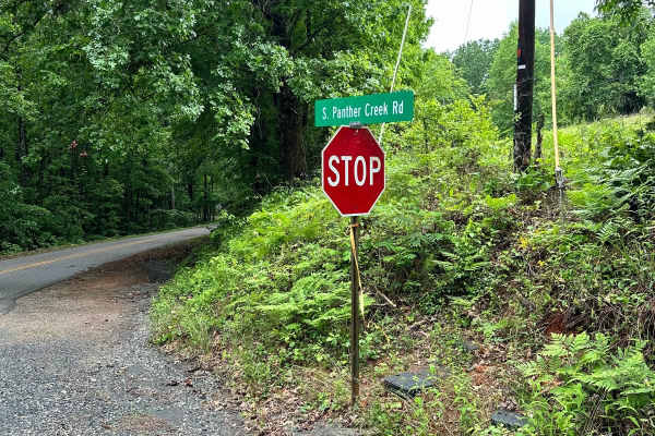
South Panther Creek Road (FSR 220)
FSR 220 is an out-and-back ride that starts at the junction of Black Mountain Road and South Panther Creek Road. You will turn left onto South Panther Creek Road. The end of the road is also accessible for a few houses, so pay close attention to the trail to avoid entering private property. The over...
Learn more about South Panther Creek Road (FSR 220)
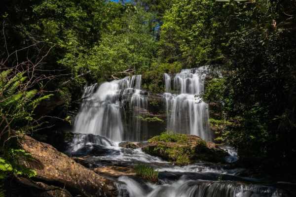
Long Creek Falls - RD 755
This trail leads to the trailhead for Long Creek Falls, one of the most iconic falls along the wild and scenic Chattoga River. This trail leads from the main highway to the large parking area at the trailhead. Along the way it is common to see Whitetail Deer, Hawks, and other native wildlife for the...
Learn more about Long Creek Falls - RD 755
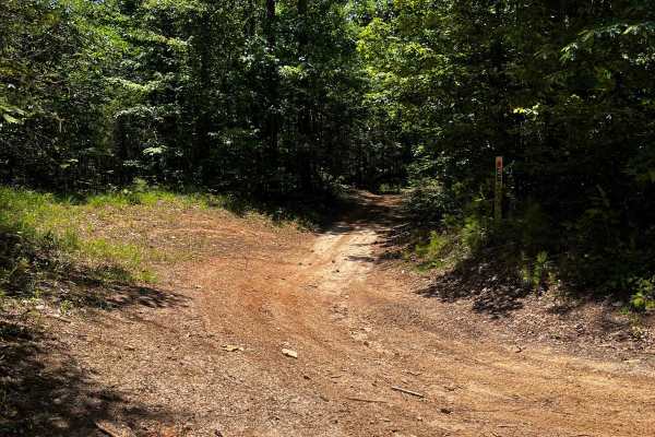
Locust Stake Ranger Run - 148
Part of the Locust Stake OHV system. The trail is for ATVs and Dirt Bikes. The trail is moderate to easy, clay hard base. The trail is 2-way, so be cautious and stay to the right. First trail to the right, leaving the trailhead staging area.
Learn more about Locust Stake Ranger Run - 148
Beginner UTV/side-by-side trails near South Union, South Carolina
Find UTV and side-by-side trails near you. These trails accommodate vehicles up to 60 inches wide, ideal for UTVs, side-by-sides, and wider off-road rigs.
Black Mountain Road - FSR 139
Black Mountain Road is an out-and-back trail that gets you near the top of Black Mountain (1509ft). This route has a special designation and is only open from 8/30-1/9. This area is used for hunting, so be sure to be aware of your surroundings, and if you get out to hike to the top of the mountain, ...
Learn more about Black Mountain Road - FSR 139
South Panther Creek Road (FSR 220)
FSR 220 is an out-and-back ride that starts at the junction of Black Mountain Road and South Panther Creek Road. You will turn left onto South Panther Creek Road. The end of the road is also accessible for a few houses, so pay close attention to the trail to avoid entering private property. The over...
Learn more about South Panther Creek Road (FSR 220)
Long Creek Falls - RD 755
This trail leads to the trailhead for Long Creek Falls, one of the most iconic falls along the wild and scenic Chattoga River. This trail leads from the main highway to the large parking area at the trailhead. Along the way it is common to see Whitetail Deer, Hawks, and other native wildlife for the...
Learn more about Long Creek Falls - RD 755
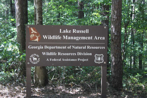
Red Root Road- FS 92
Red Root Road, also known as FSR 92, is a route that traverses the Lake Russel WMA from just outside Toccoa, GA to Mt. Airy, GA. This route can be used to access seasonal routes within the WMA area. Multiple areas can be found for camping, especially along the Middle Fork Broad River. If camping, p...
Learn more about Red Root Road- FS 92
The onX Offroad Difference
onX Offroad combines trail photos, descriptions, difficulty ratings, width restrictions, seasonality, and more in a user-friendly interface. Available on all devices, with offline access and full compatibility with CarPlay and Android Auto. Discover what you're missing today!
Open Trail Map