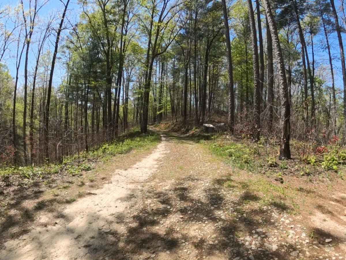
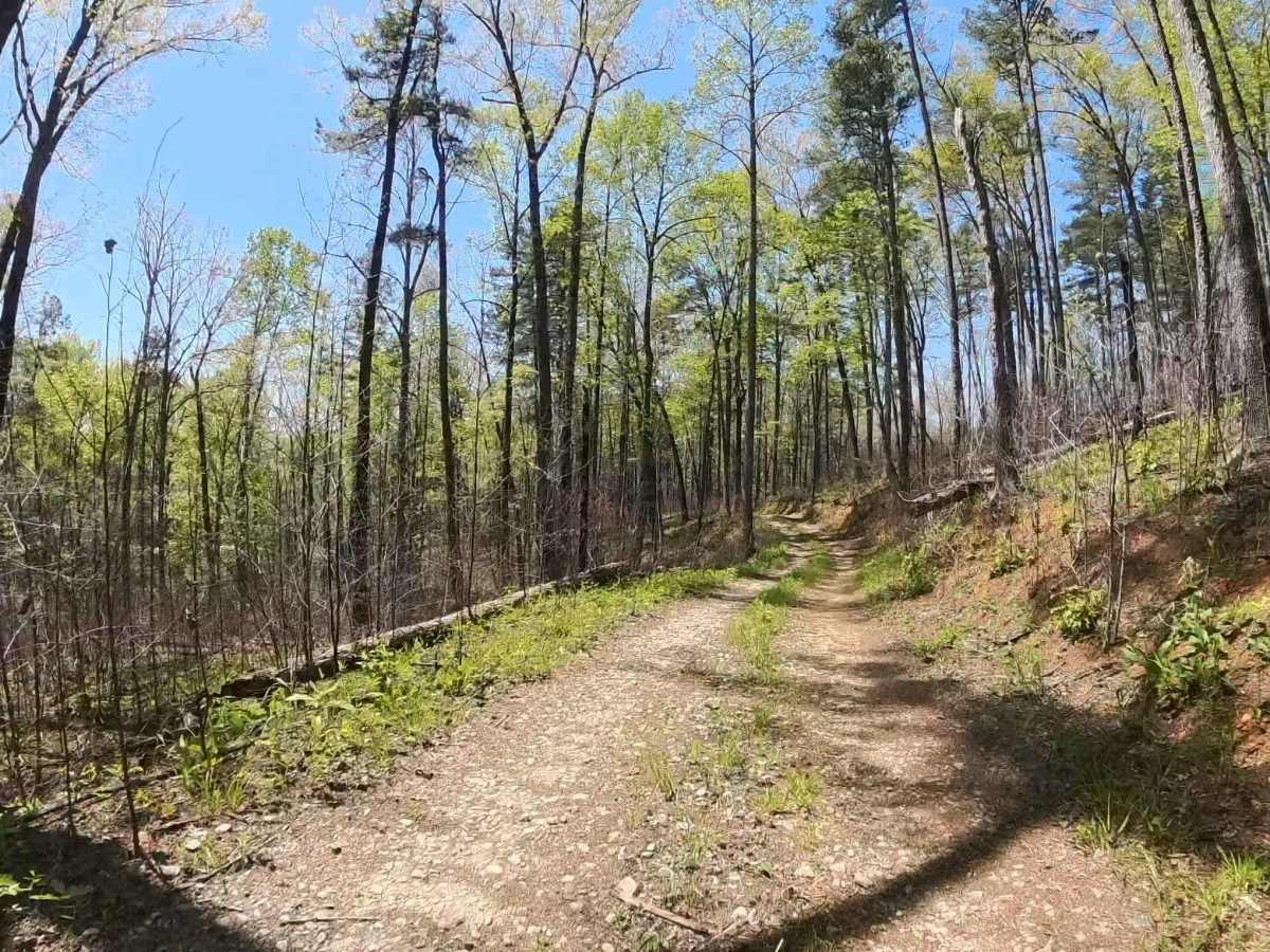
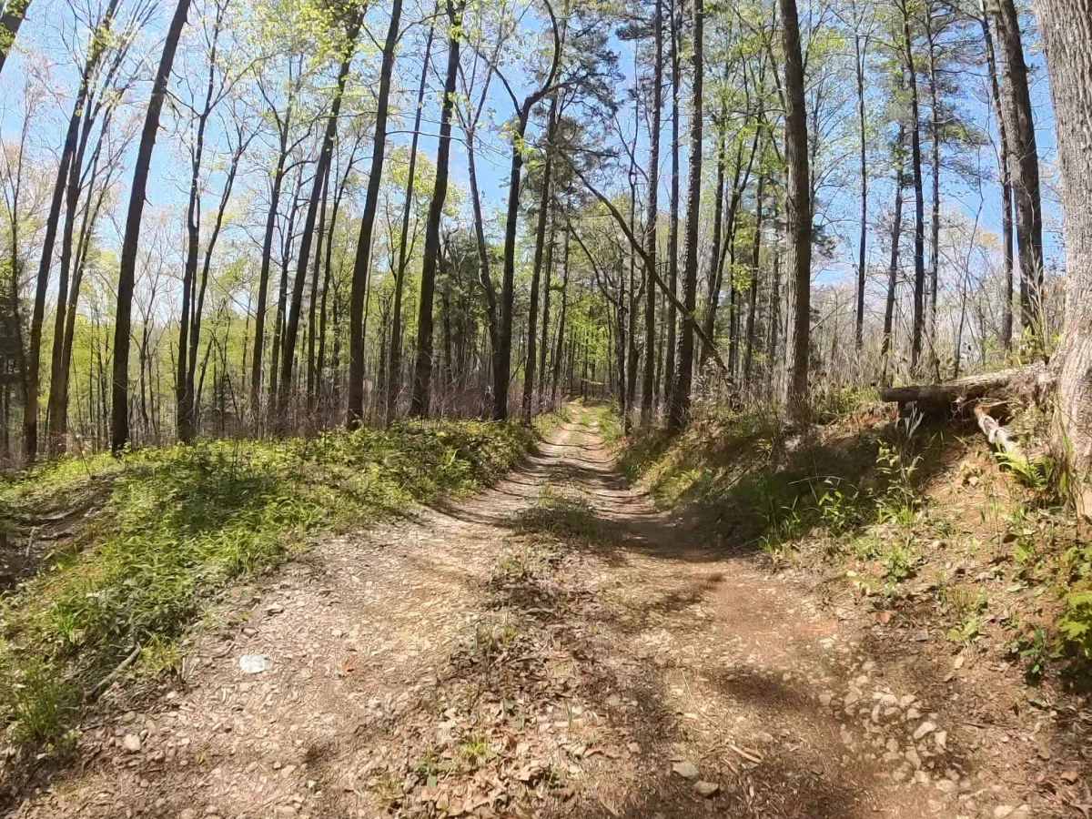
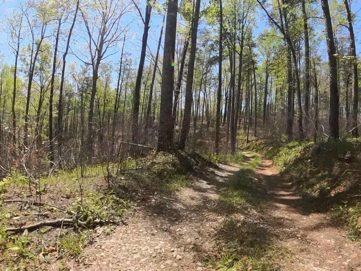
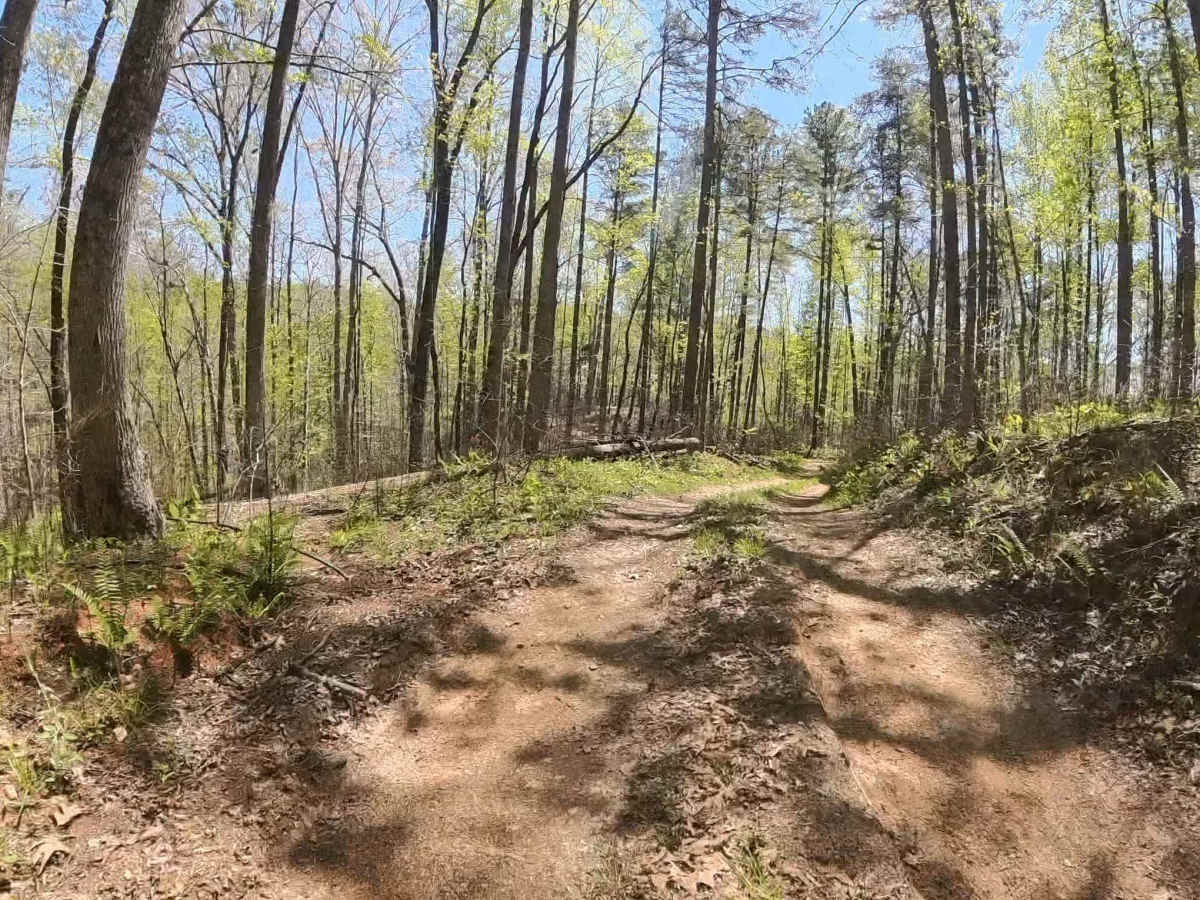
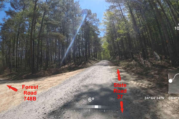
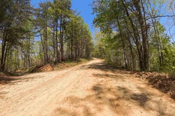
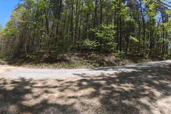
Trail Overview
FS 2658 is a short out-and-back, single-lane gravel road that branches off FS 744C within the scenic sections of Sumter National Forest. The trail winds through peaceful forest terrain with several small hills and gentle elevation changes along the route. While the road may be narrow in places, most standard passenger vehicles should still be able to travel it without difficulty under normal conditions. There are no major obstacles along the trail, making it a relaxing drive for those looking to explore the area. About midway through the route, visitors will find a parking area with access to a walking path leading to scenic waterfalls hidden within the forest. The quiet surroundings and natural setting make this an excellent location for a picnic, photography, hiking, or dispersed camping while enjoying the beauty of the region.
Difficulty
This trail is mostly a smooth single-lane gravel surface, mild terrain, and lack of major obstacles. Occasional washed areas and small hills may be present, but most standard passenger vehicles should be able to complete the route under normal conditions. The trail is best suited for scenic driving, casual exploration, and beginner off-road travelers.