Trail Overview
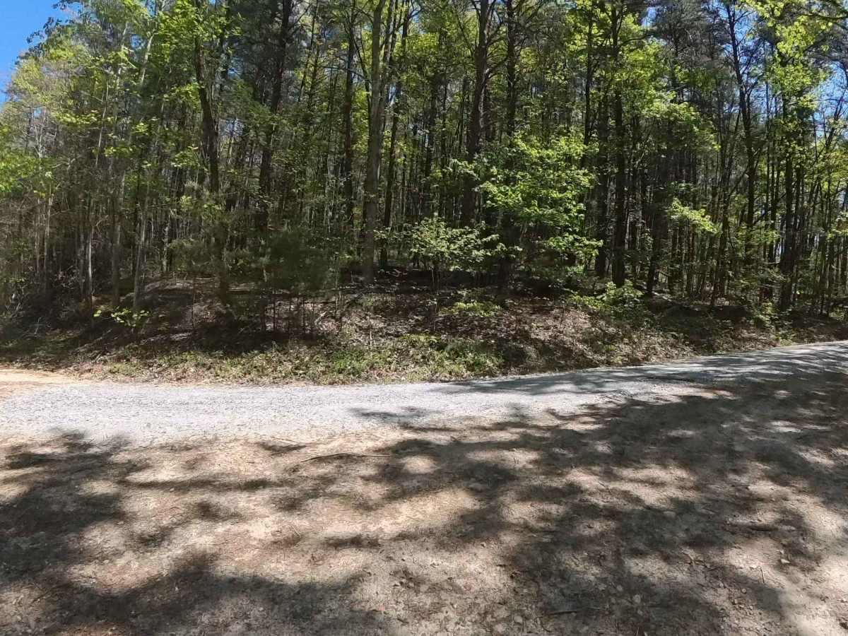
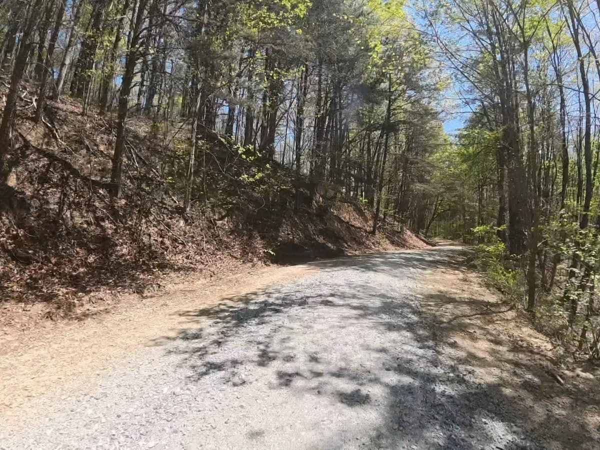
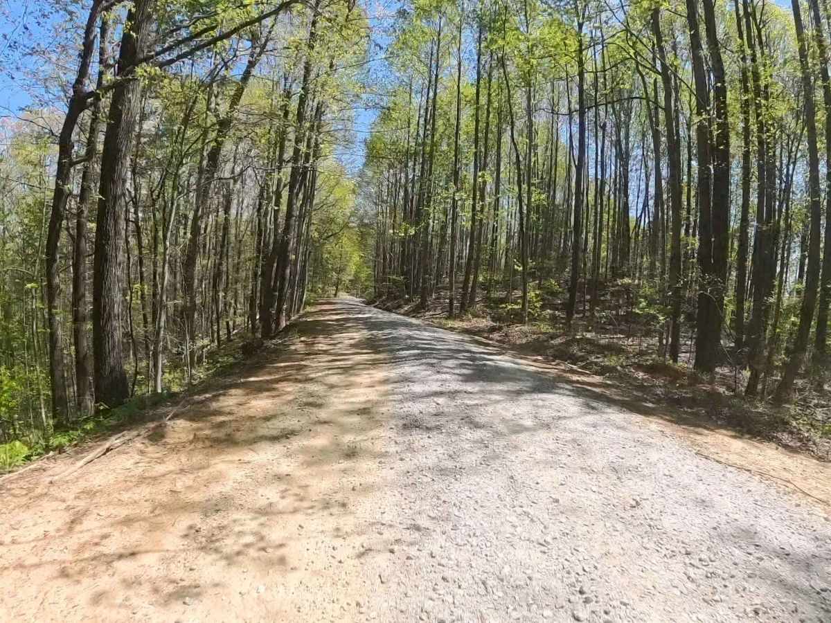
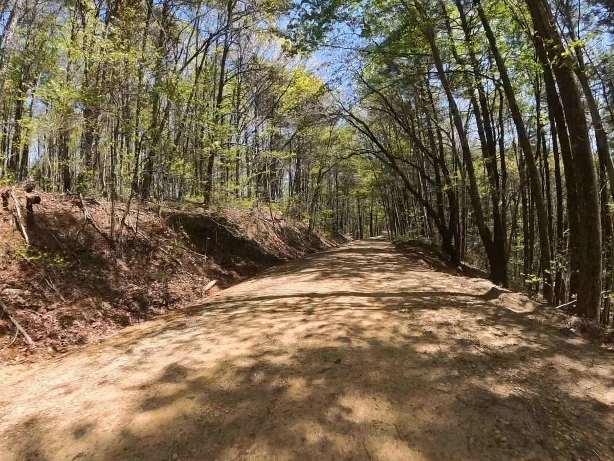
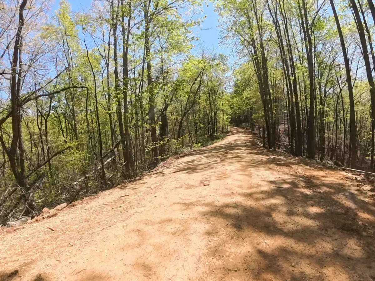
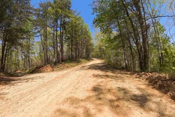
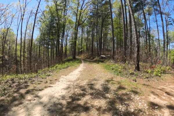
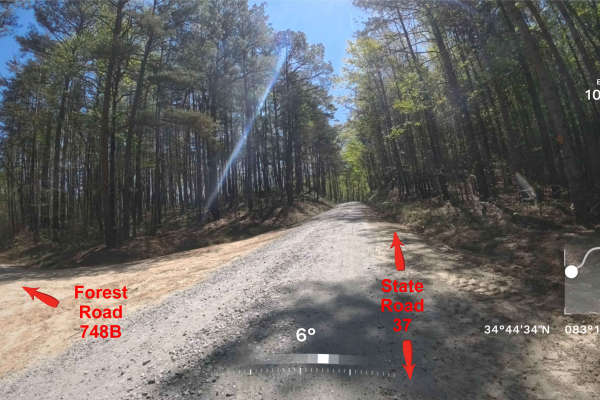
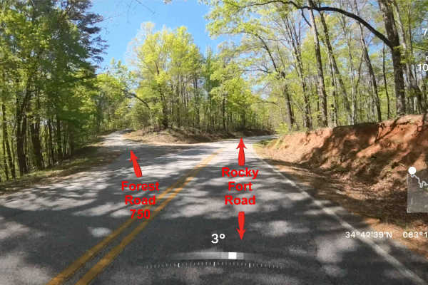
FS 744I is a simple out-and-back trail located within the scenic stretches of Sumter National Forest just beyond the Georgia/South Carolina line. The route follows an easy, mostly single-lane gravel and dirt road with no significant obstacles, making it suitable for nearly any vehicle, including standard passenger cars in typical conditions. Along the way, travelers are surrounded by quiet forest, natural terrain, and minimal development, creating a peaceful and remote atmosphere with very little traffic. It’s an ideal route for a relaxed drive, light exploration, or simply escaping busier areas. The trail ends at a very large turnaround area with a locked gate at the end. Due to the remote setting, cell service can be unreliable or nonexistent. It’s recommended to plan and bring necessary supplies, navigation tools, and emergency essentials before heading out.
Difficulty
This trail is very well maintained, mostly a one-lane gravel road that is smooth with the possible occasional small wash areas, but any vehicle should be able to travel this trail easily. Most areas are one lane with a few pull-off areas, so watch for other oncoming vehicles. The trail dead-ends with a very large turnaround area.