Sand Branch - FS 770

Total Miles0.8
Technical Rating
1Easy
Best TimeSpring, Winter, Fall, Summer
Trail TypeFull-Width Road
Accessible By
Open Trail Map

Trail Overview

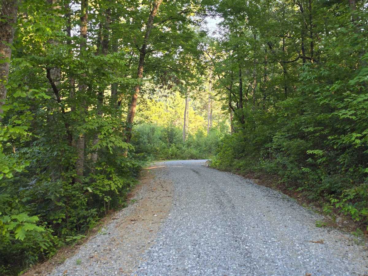
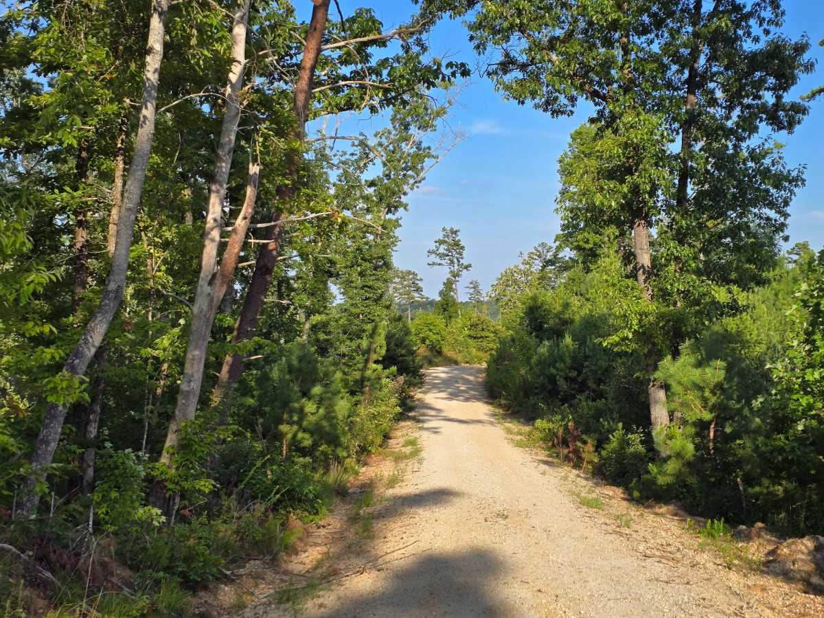
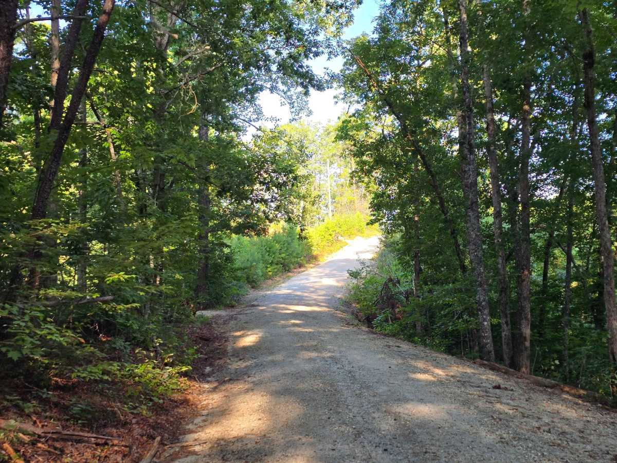
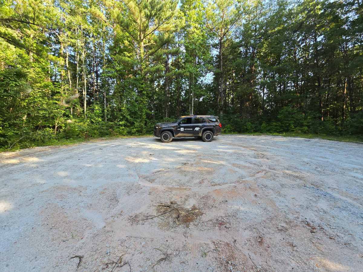
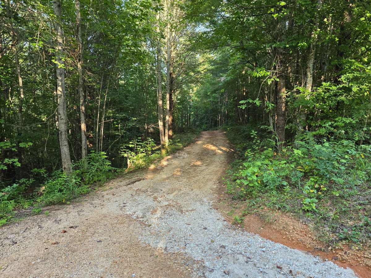
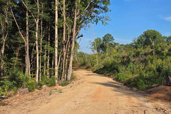
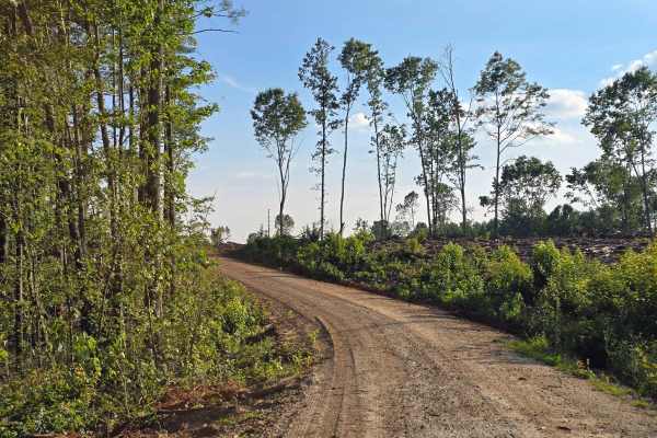
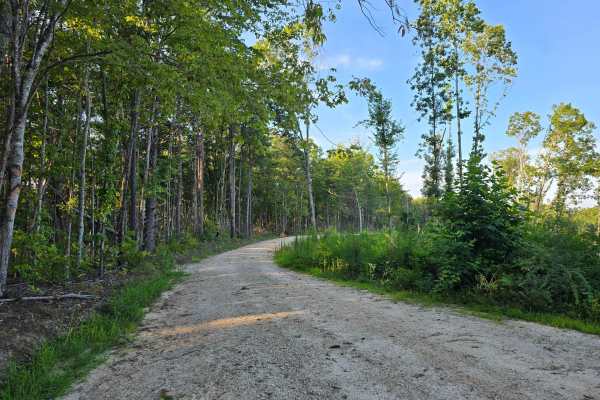
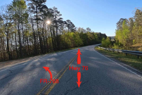
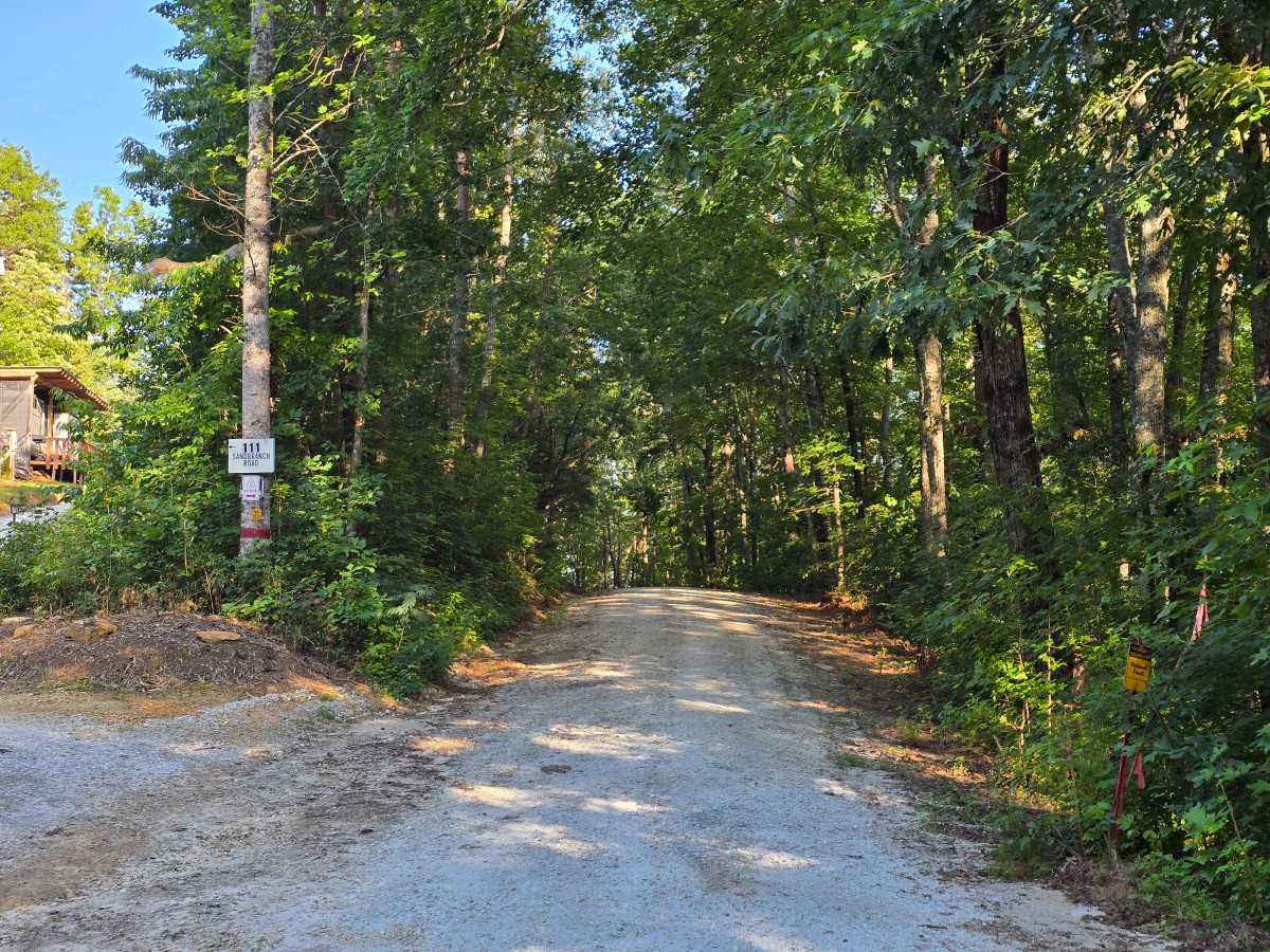
Sandbranch - FS 770 drops southeast off Mester Road and winds down toward the Chauga River, ending at a wide gravel turnaround at Spider Valley Bank. This 1/10 trail is graded gravel the whole way and stays easy from start to finish, climbing and bending through regenerating cut before the final descent. The entry runs right alongside private property, so watch the boundary markers where the road leaves the county road. A two-track continues at the turnaround toward the river, but it isn't shown on the Forest Service MVUM, so plan on the turnaround being the end of the line and use the river road for foot access to stay legal.

Photos of Sand Branch - FS 770

Difficulty

A graded gravel road.

Technical Rating

1

Sand Branch - FS 770 Trail can be accessed by the following ride types:

  • High Clearance
  • Full Width

Sand Branch - FS 770 Map

The onX Offroad Difference

onX Offroad combines trail photos, descriptions, difficulty ratings, width restrictions, seasonality, and more in a user-friendly interface. Available on all devices, with offline access and full compatibility with CarPlay and Android Auto. Discover what you're missing today!

Open Trail Map