
Beginner Off-Road Trails
Near Silver Plume, Colorado
Explore All Beginner Trails Near Silver Plume, Colorado
Beginner Off-Road Trails Near Silver Plume, Colorado
Discover the best beginner-friendly off-road trails near you. These easier, lower-rated trails are a great place to start — browse trail maps, check difficulty ratings, and find your next adventure.
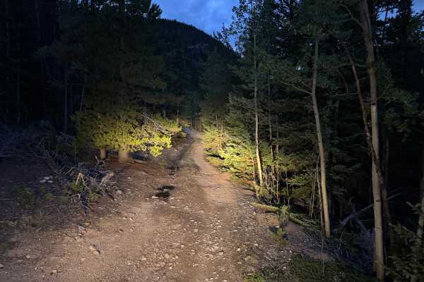
Paines Mountain Spur Road
Paines Mountain Spur Road is an out-and-back route branching from Historic Waldorf Wagon Road after crossing Leavenworth Creek. The road travels onto the northwest side of Paines Mountain within the historic Argentine Mining District, an area extensively developed during Clear Creek County's mining ...
Learn more about Paines Mountain Spur Road
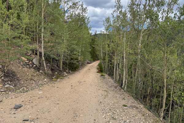
Argentine Central Railroad Grade Trail
This out-and-back route follows an original section of the Argentine Central Railroad grade toward historic Pavilion Point. The narrow roadway remains approximately one vehicle wide for nearly its entire length, with very few places available to pull over and allow another vehicle to pass. The surfa...
Learn more about Argentine Central Railroad Grade Trail
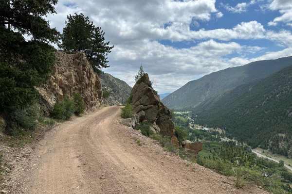
Bard Creek Road
Among the old mining trails stretching from Idaho Springs to Silver Plume, Bard Creek Road offers an enchanting journey through the region's history. As you traverse its bumpy climb, you'll uncover vestiges of Colorado's vibrant past, most notably, the Bard Creek Mine with its remarkably intact ore ...
Learn more about Bard Creek Road
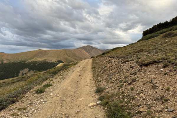
Santiago Mine
Santiago Mine Road travels through the high-elevation Waldorf Basin and leads directly toward the historic Santiago Mine and Mill complex on the southeastern slope of McClellan Mountain. The route crosses open alpine terrain dominated by grasses, low willow, scattered evergreens, exposed rock, and b...
Learn more about Santiago Mine
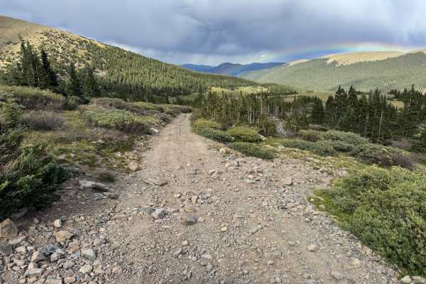
Santiago Cutoff
This short through route provides a connection between Leavenworth Creek Road and Waldorf Wagon Road while traveling through high-elevation terrain in the Argentine mining district. The surroundings transition between dense stands of spruce and fir and broad open subalpine meadows covered with grass...
Learn more about Santiago Cutoff
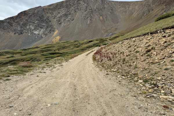
Upper McClellan Spur Road
Upper McClellan Spur Road is a V-shaped through route that connects with Leavenworth Creek Road and crosses Santiago Mine Road while traveling through the high-elevation terrain of McClellan Mountain. The route provides access toward one of the historic Santiago Mine workings, which were part of the...
Learn more about Upper McClellan Spur Road
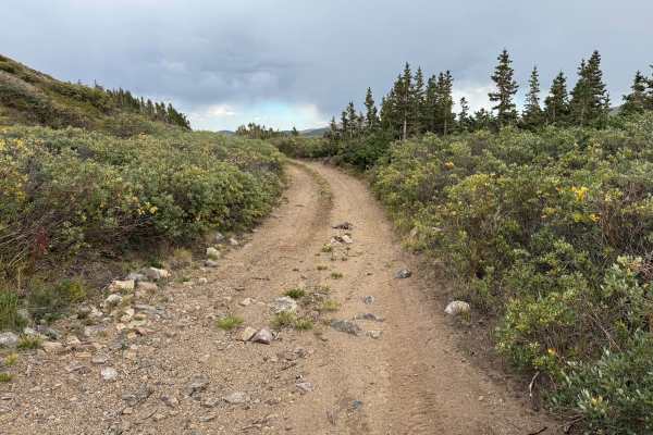
Santiago Road
This high-elevation route travels through the mountains above the historic Waldorf and Argentine mining area, providing expansive views across the surrounding valleys, forested slopes, and alpine peaks. The landscape transitions between dense stands of spruce and fir and more open subalpine terrain ...
Learn more about Santiago Road
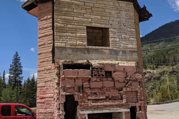
Stevens Gulch
Stevens Gulch is a scenic, high-elevation mountain route ideal for outdoor enthusiasts looking to access two of Colorado's most famous fourteeners, Grays Peak and Torreys Peak. Starting right off Interstate 70 at the Bakerville exit, this 4.3-mile journey climbs steadily from around 9,785 feet to a ...
Learn more about Stevens Gulch
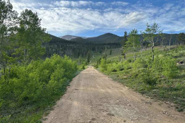
Mad Creek Road
A short drive from the town of Empire and just down the road from the popular Bill Moore Lake Trail, Mad Creek is a great off-road trail that gets passed up by many off-roaders. Whether seeking quiet summer seclusion or deep tire-swallowing winter snow, don't let this trail fall off your radar. Alon...
Learn more about Mad Creek Road
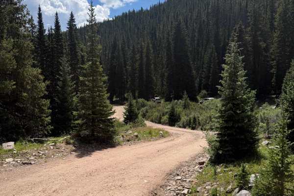
Silver Dollar Road
The trail begins in a parking lot with signage regarding the road as well as wildlife in the area. This is a dirt road that is very well-maintained and used to access the Silver Dollar Lake Hiking Trail. Once you pass the informative signage, the road becomes single-track, continuously gaining eleva...
Learn more about Silver Dollar Road
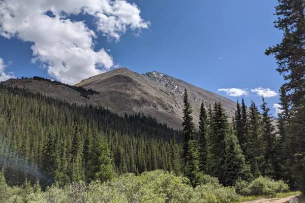
Grizzly Gulch
Grizzly Gulch is a difficult trail that starts up Stevens Gulch. There is a dirt parking lot area on Stevens Gulch, and if you go all the way to the back, you will find that it continues on to become Grizzly Gulch. On a dry day, the trail is pretty mild. More difficult than Stevens Gulch, but no ...
Learn more about Grizzly Gulch
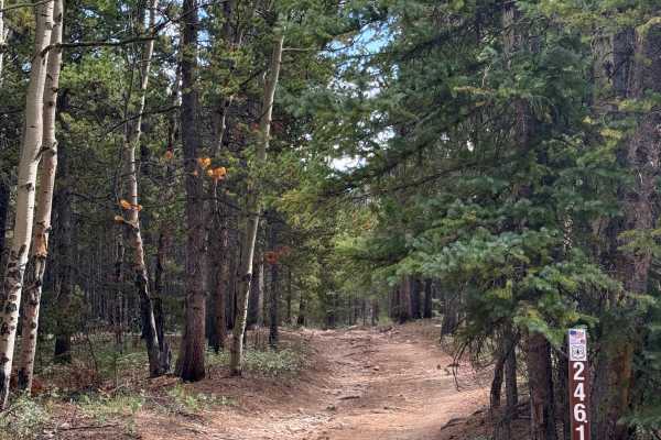
Barbour Fork Trail - FS 2461
This trail eventually leads to a dead end near a hiking trail, with a scenic area at the end that offers great views overlooking the surrounding mountain range. The trail itself is fairly easy, and generally passable in a 2WD vehicle without any issues. There are a few rocky sections along the way, ...
Learn more about Barbour Fork Trail - FS 2461
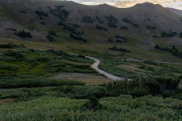
Jones Pass
Jones Pass is an ideal high-altitude route for intermediate offroaders seeking panoramic Rocky Mountain vistas and access to alpine tundra without requiring highly modified vehicles. This 6.9-mile scenic trail climbs over 2,200 feet from its starting point near the Henderson Mine, winding up to a sp...
Learn more about Jones Pass
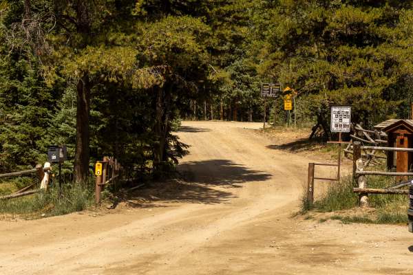
Peru Creek
Peru Creek is a wide, easy trail that follows alongside its namesake creek, offering a scenic and mellow drive without any true obstacles. The road is approachable for most high-clearance vehicles, making it a good choice for those looking for a relaxed backcountry route. Numerous dispersed campsite...
Learn more about Peru Creek
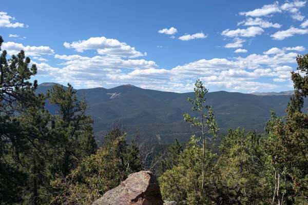
Bellevue Mountain Drive
Bellevue Mountain Drive is an easy gravel route that climbs through pine and aspen forest to a communications tower near the top. The main attraction is the broad mountain and valley views from the upper section. The road begins wide and smooth but narrows in places as it climbs. Full-size trucks an...
Learn more about Bellevue Mountain Drive
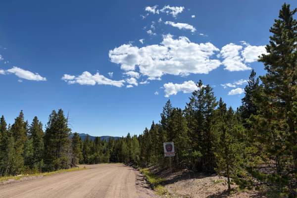
Virginia Canyon Road - FS 279
Virginia Canyon Road - FS 279 is another portion of the lower Virginia Canyon Road, broken up by Two Brothers Road; it gets a little confusing. This is an easy scenic drive through a quiet rural area with cabins, forest, and mountain views. The route can be driven point-to-point or combined with nea...
Learn more about Virginia Canyon Road - FS 279
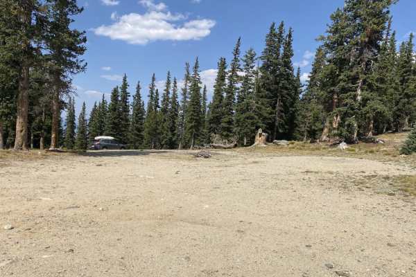
Squaw Mountain Lookout
This trail is easily accessed off of Squaw Pass Road. As the name hints, the trail takes you takes you to Squaw Mountain fire lookout which is about a 1-mile hike from the end of this trail. The trail consists of a 1-mile dirt road that is relatively maintained. It is passable by most passenger vehi...
Learn more about Squaw Mountain Lookout
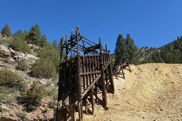
Virginia Canyon Road 279
Virginia Canyon Road 279 is a wide, generally well-maintained gravel road climbing above Idaho Springs. The route offers expansive views across the surrounding mountains and down toward town while passing through a mix of pine forest, exposed hillsides, and historic mining areas. Remnants of old woo...
Learn more about Virginia Canyon Road 279
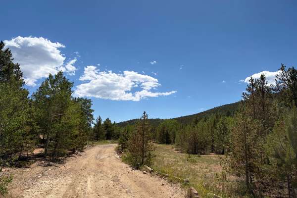
Pewabic Mine Road
Pewabic Mine Road is a varied mountain route that moves through dense forest, open meadows, and historic mining areas. The road is mostly smooth gravel with a few rougher, rockier sections. The route is generally wide and easy to follow, with no major obstacles in dry conditions. Drivers will pass o...
Learn more about Pewabic Mine Road
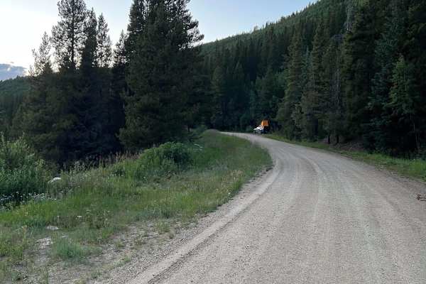
Waterboard Rd - FS 128
This route begins just north of Mary Jane Road off of Highway 40. It follows the Fraser River diversion canal with access to numerous hiking trails and dispersed campsites along the way. There are great views of Winter Park Ski Resort as well. The route terminates with the Rollins Pass West trail, w...
Learn more about Waterboard Rd - FS 128
Beginner ATV trails near Silver Plume, Colorado
Explore ATV-friendly trails near you. These trails are accessible for vehicles up to 50 inches wide, perfect for ATVs and smaller off-road machines.
Paines Mountain Spur Road
Paines Mountain Spur Road is an out-and-back route branching from Historic Waldorf Wagon Road after crossing Leavenworth Creek. The road travels onto the northwest side of Paines Mountain within the historic Argentine Mining District, an area extensively developed during Clear Creek County's mining ...
Learn more about Paines Mountain Spur Road
Argentine Central Railroad Grade Trail
This out-and-back route follows an original section of the Argentine Central Railroad grade toward historic Pavilion Point. The narrow roadway remains approximately one vehicle wide for nearly its entire length, with very few places available to pull over and allow another vehicle to pass. The surfa...
Learn more about Argentine Central Railroad Grade Trail
Bard Creek Road
Among the old mining trails stretching from Idaho Springs to Silver Plume, Bard Creek Road offers an enchanting journey through the region's history. As you traverse its bumpy climb, you'll uncover vestiges of Colorado's vibrant past, most notably, the Bard Creek Mine with its remarkably intact ore ...
Learn more about Bard Creek Road
Santiago Mine
Santiago Mine Road travels through the high-elevation Waldorf Basin and leads directly toward the historic Santiago Mine and Mill complex on the southeastern slope of McClellan Mountain. The route crosses open alpine terrain dominated by grasses, low willow, scattered evergreens, exposed rock, and b...
Learn more about Santiago Mine
Beginner UTV/side-by-side trails near Silver Plume, Colorado
Find UTV and side-by-side trails near you. These trails accommodate vehicles up to 60 inches wide, ideal for UTVs, side-by-sides, and wider off-road rigs.
Paines Mountain Spur Road
Paines Mountain Spur Road is an out-and-back route branching from Historic Waldorf Wagon Road after crossing Leavenworth Creek. The road travels onto the northwest side of Paines Mountain within the historic Argentine Mining District, an area extensively developed during Clear Creek County's mining ...
Learn more about Paines Mountain Spur Road
Argentine Central Railroad Grade Trail
This out-and-back route follows an original section of the Argentine Central Railroad grade toward historic Pavilion Point. The narrow roadway remains approximately one vehicle wide for nearly its entire length, with very few places available to pull over and allow another vehicle to pass. The surfa...
Learn more about Argentine Central Railroad Grade Trail
Bard Creek Road
Among the old mining trails stretching from Idaho Springs to Silver Plume, Bard Creek Road offers an enchanting journey through the region's history. As you traverse its bumpy climb, you'll uncover vestiges of Colorado's vibrant past, most notably, the Bard Creek Mine with its remarkably intact ore ...
Learn more about Bard Creek Road
Santiago Mine
Santiago Mine Road travels through the high-elevation Waldorf Basin and leads directly toward the historic Santiago Mine and Mill complex on the southeastern slope of McClellan Mountain. The route crosses open alpine terrain dominated by grasses, low willow, scattered evergreens, exposed rock, and b...
Learn more about Santiago Mine
The onX Offroad Difference
onX Offroad combines trail photos, descriptions, difficulty ratings, width restrictions, seasonality, and more in a user-friendly interface. Available on all devices, with offline access and full compatibility with CarPlay and Android Auto. Discover what you're missing today!
Open Trail Map