Trail Overview
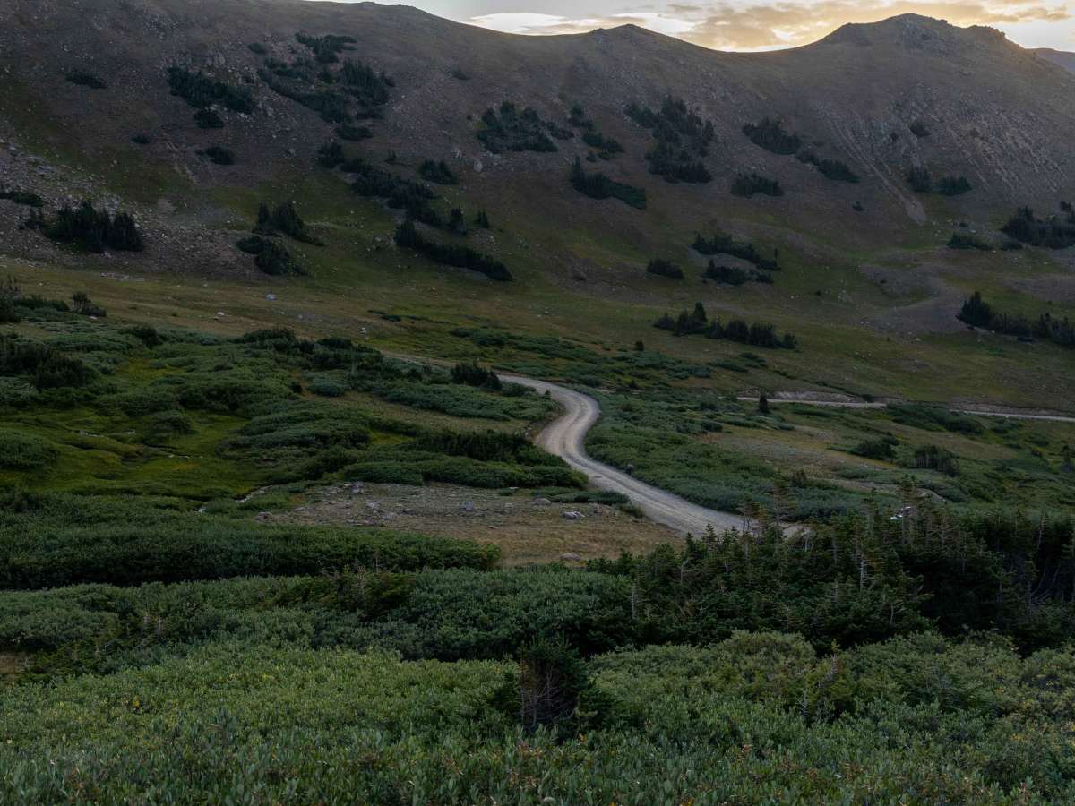
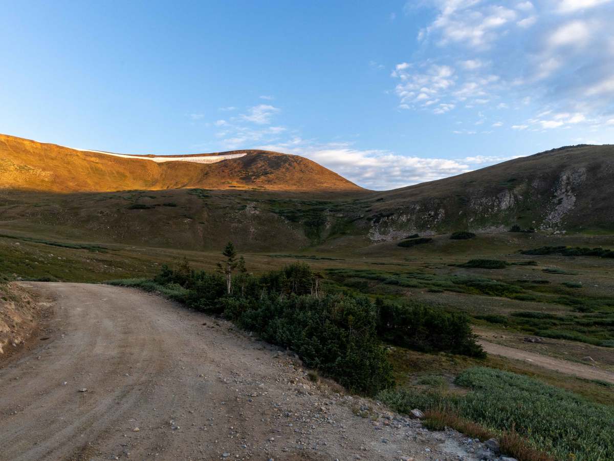
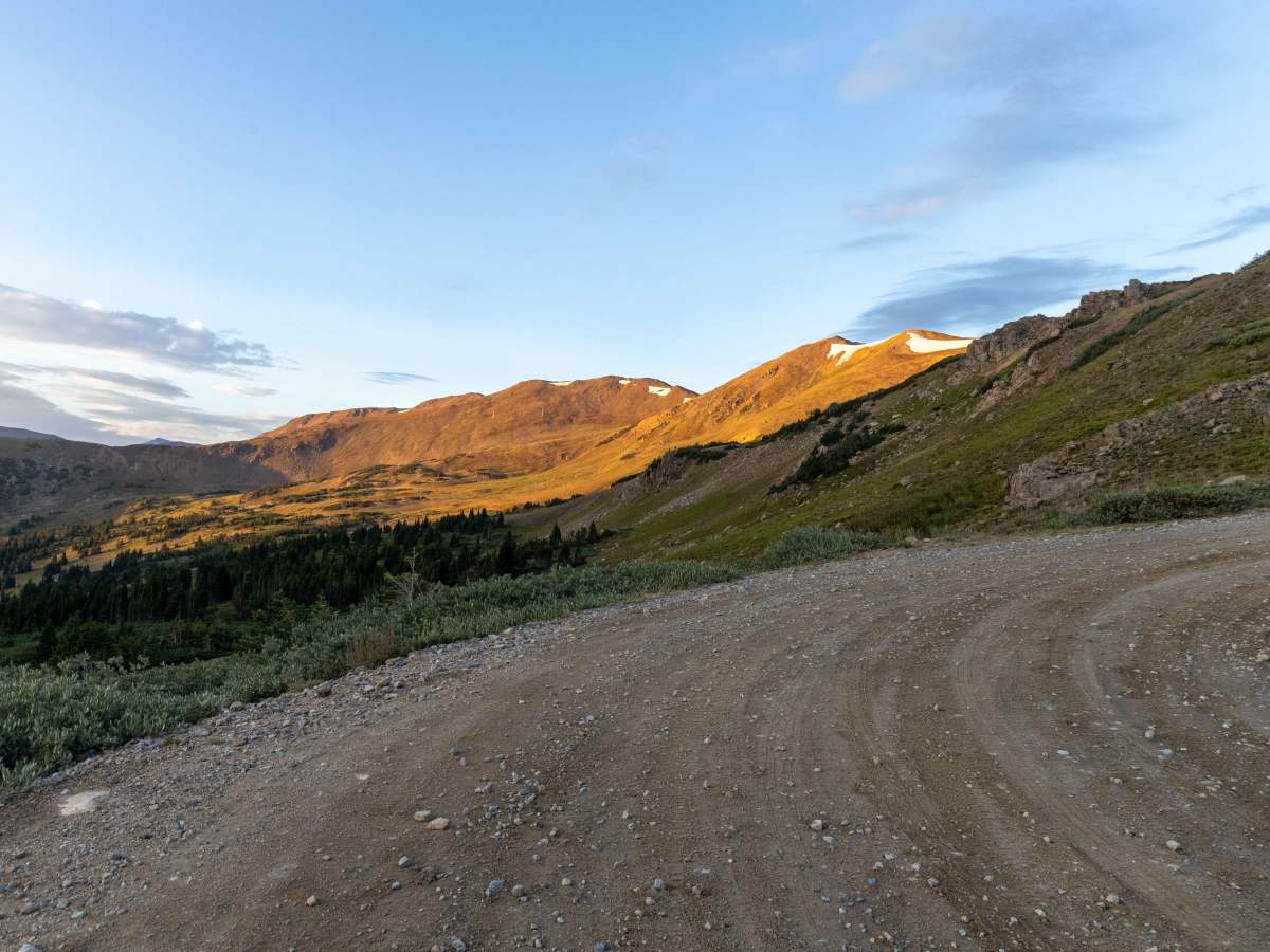
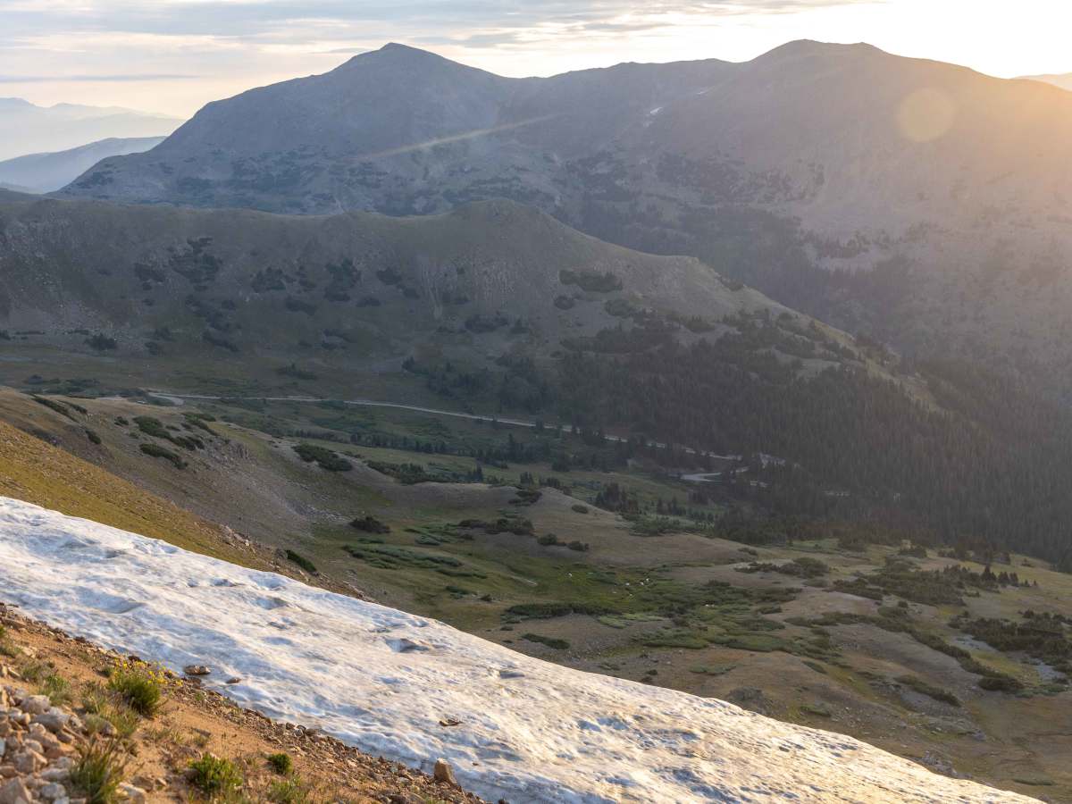
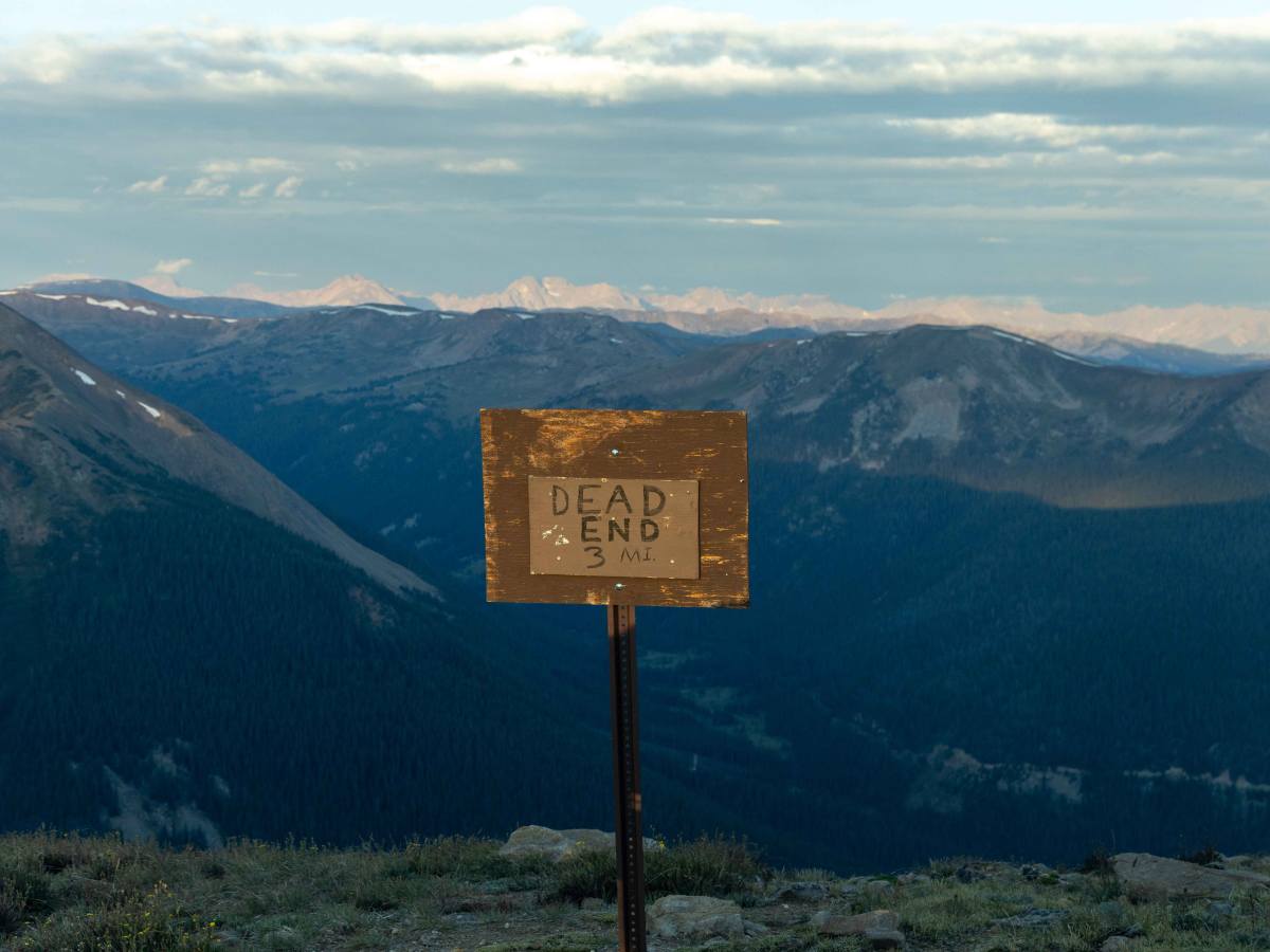
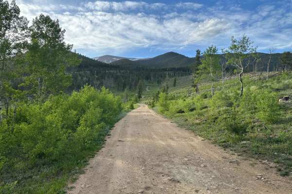
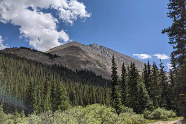
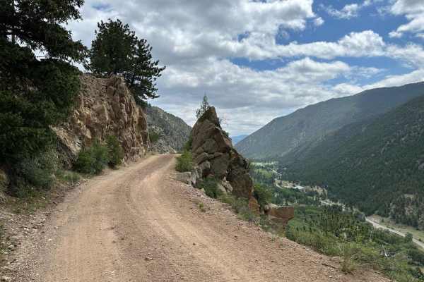
Jones Pass is an ideal high-altitude route for intermediate offroaders seeking panoramic Rocky Mountain vistas and access to alpine tundra without requiring highly modified vehicles. This 6.9-mile scenic trail climbs over 2,200 feet from its starting point near the Henderson Mine, winding up to a spectacular summit elevation of 12,466 feet on the Continental Divide. The initial miles climb steadily through a dense pine forest alongside a rushing creek, where numerous dispersed campsites are nestled among the trees. As the trail ascends above the tree line, the terrain shifts to exposed shelf roads and a series of tight switchbacks, demanding careful driving but rewarding travelers with unobstructed views of the surrounding peaks, including nearby Vasquez Peak.
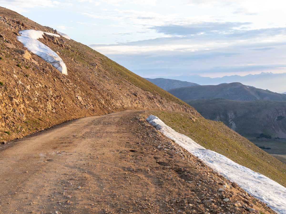
While the route maintains a relatively mild difficulty rating with a gravel and rocky surface, the final push to the summit features steep gradients up to 28 degrees and narrow passing areas. High-clearance four-wheel-drive vehicles are highly recommended to confidently navigate the loose rock and late-season snow drifts that can linger well into July. Beyond the pass, the trail descends the western slope through an expansive forest burn scar, which offers unique, wide-open perspectives of the valley before connecting with the main trail system below. Due to its extreme elevation, the pass is generally only clear of snow from late June through October, making it a spectacular summer and early autumn destination.
Difficulty
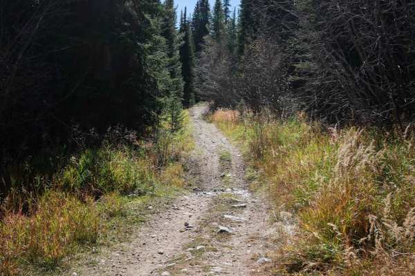
There are no major obstacles on this trail, though at times it does get narrow and tight with trees and switchbacks, especially once over the summit and on the backside.
History
Rising to an elevation of 12,466 feet, Jones Pass was originally surveyed in the early 1900s as a potential route for the Denver & Salt Lake Railroad, though the tracks were ultimately never laid here. Today, the historic mountain pass serves as a gateway to the pristine Vasquez Peak Wilderness and provides access to the high-altitude August P. Gumlick Tunnel, an important water diversion tunnel completed in 1940 to transport water under the Continental Divide to Denver.
Access Description
Jones Pass is located within the Arapaho National Forest and is typically open to vehicles from late June or early July through October, depending on snowpack. No permits or fees are required for driving the pass or utilizing the dispersed campsites along the lower sections of the route. Because the trail passes near active mining operations at the Henderson Mine, travelers must stay on the designated forest service road and respect all private property signs.