
Beginner Off-Road Trails
Near Sharon, Connecticut
Explore All Beginner Trails Near Sharon, Connecticut
Beginner Off-Road Trails Near Sharon, Connecticut
Discover the best beginner-friendly off-road trails near you. These easier, lower-rated trails are a great place to start — browse trail maps, check difficulty ratings, and find your next adventure.
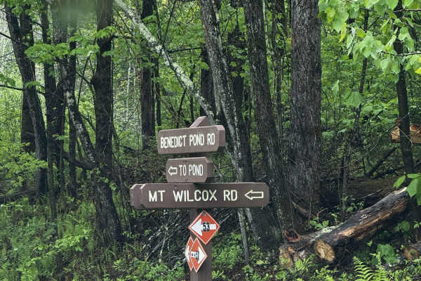
Mount Wilcox Road
Mount Wilcox Road is the main loop that meanders through Beartown State Forest. The loop is 4.3 miles and climbs from 1,600 feet to 2,100 feet. The trail begins and ends off Benedict Pond Road. Halfway through the route from either direction is a short spur that breaks off and provides access to the...
Learn more about Mount Wilcox Road
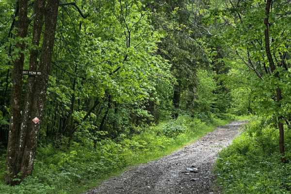
Sky Peak Road
Sky Peak Road is a short connector between Beartown Mountain Road and Wilcox Mountain Road. The trail begins from Beartown and climbs from 1760 to 1900 feet in the short 0.7 miles of the trail over loose rock. The trail is well-graded in most sections, with some showing exposed rock. The trail ends...
Learn more about Sky Peak Road
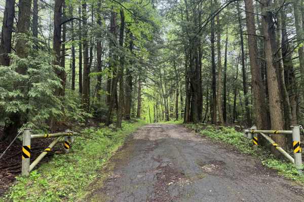
Beartown Mountain Road
Beartown Mountain Road winds its way through the northern section of Beartown State Forest. Beginning at Route 102 and travelling south into the park, the gravel begins 2 miles in. The trail begins at an unlocked gate. Remnants of pavement that deteriorated over the years are still visible from tim...
Learn more about Beartown Mountain Road
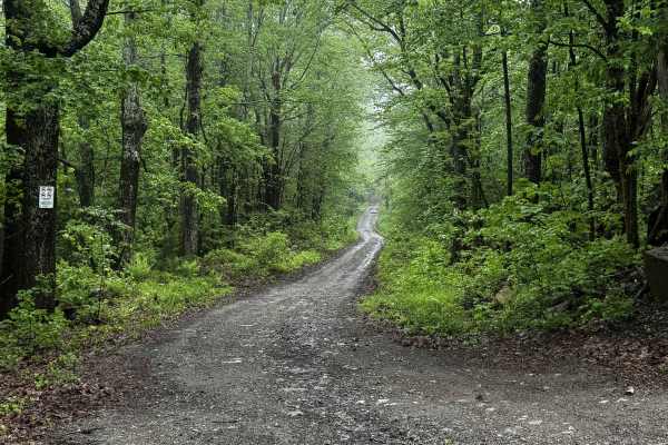
Blandford Road
Blandford Road begins off of Schoolhouse Road in Tolland and heads west, ending just over the Granville line. Trail provides access to the southern portion of Amos Case Road as well as some other routes in the area. With two intersections along the route, stay right at the first and left at the seco...
Learn more about Blandford Road
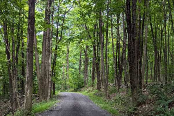
Old Macedonia Road
This is a dirt road whose center section is seasonally unmaintained. It skirts through the woods among private property and Beebe State Forest. You'll pass through ravines, hardwood groves, and over a small ridge on this peaceful path. While not much of a challenge for trucks or SUVs, cars should no...
Learn more about Old Macedonia Road
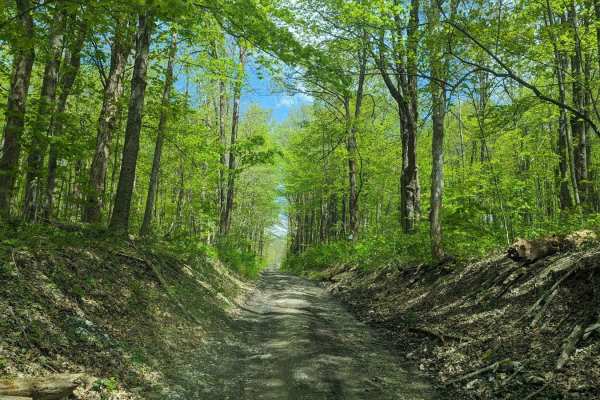
Deane Hill/Rossiter Road
This is a simple trail composed of a seasonal and an unmaintained road. The track bounces from Massachusetts to New York and back again to Massachusetts. The terrain is rolling and varies from old farm fields to hardwood forests. While easily traveled by any car with moderate clearance, it is a bump...
Learn more about Deane Hill/Rossiter Road
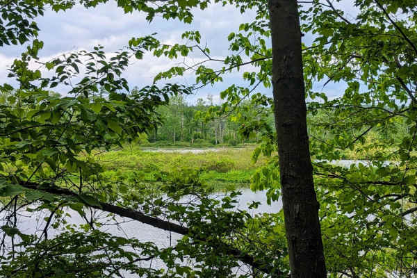
Roaring Brook Road
This trail skirts the edge of a very marshy section of the Housatonic River. This trail is mostly flat, with some large dried-up mud holes and a few washed-out sections. 4WD is not necessary, though a higher-clearance vehicle is needed to avoid bottoming out. Multiple kayak and canoe launch sites do...
Learn more about Roaring Brook Road
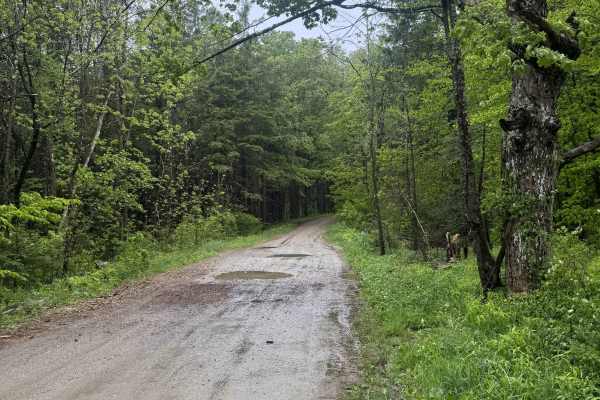
Country Road
Welcome to October Mountain State Forest, the largest state forest in Massachusetts. Country Road is the main entrance into the state forest. The gravel road is well-maintained and provides access to several areas of the park. Stop and enjoy the views of the wetlands to the west, or take a stop by t...
Learn more about Country Road
Lower Tower Road
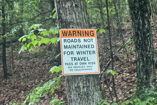
Lower Tower Road is a short ride that leads to one of the nicest views in all of western Massachusetts. This is a very well-maintained graded gravel road that winds through the forest. Starting from the west heading east, prior to the trail is a paved section until you reach an ORV parking site. Fro...
Learn more about Lower Tower Road
Cold Springs Road
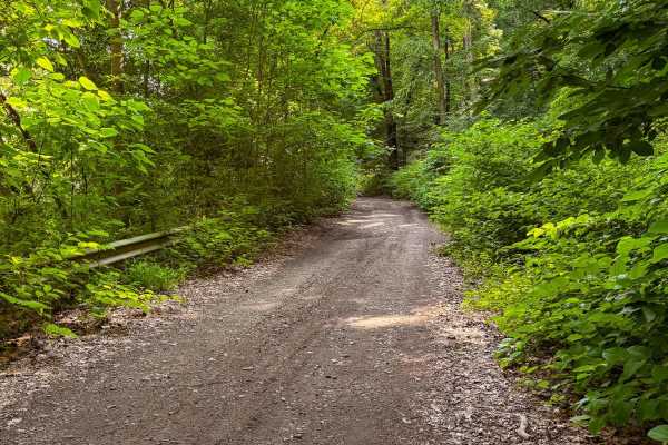
This short, unmaintained dirt road offers a rugged entryway into the 5,000-acre Naugatuck State Forest. Most of the trail is only one vehicle wide and runs directly alongside an active railroad, adding a unique backdrop to the drive. While brief, the route features deep ruts and significant mud pudd...
Learn more about Cold Springs Road
Lenox Whitney Place Road
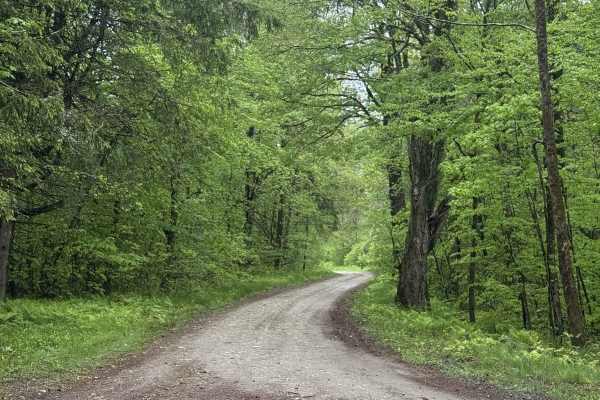
Welcome to October Mountain State Forest, the largest state forest in Massachusetts. Lenox Whitney Place Road connects Country Road to the center of the Forest and all other trails within the park. Several trail options branch off throughout the entire trail. Please note signage that indicates what...
Learn more about Lenox Whitney Place Road
Whitney Place to New Lenox Road
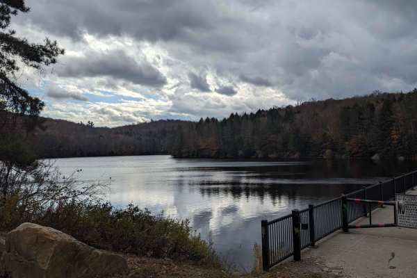
This is an easier trail with some deep mud holes and numerous small rocks along the trail. It brings you to the secluded and picturesque Farnham Reservoir (City of Pittsfield) which provides plenty of cascading waterfalls along several adjacent brooks. It is an unmaintained town road that skirts in ...
Learn more about Whitney Place to New Lenox Road
Ashley Lake Road
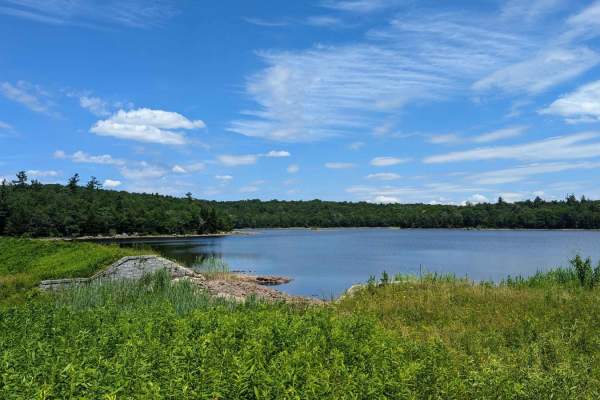
Ashley Lake Road is an old, unmaintained road through October Mountain State Forest. It rolls through hardwood forests past multiple lakes/reservoirs, including Ashley Lake, Sandwash Reservoir (this has a unique "aerator" which is a large fountain in the middle of the woods), Clapp Pond, and Mud Pon...
Learn more about Ashley Lake Road
Eastern Boundary Trail
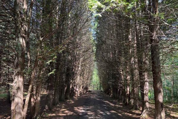
This is a short trail off Lundy Road that is a one-lane road with limited pull-offs. Some small water/mud holes. There is a section to park at the end and go hiking. There is also a small pond/lake that one of the hiking trails leads to.
Learn more about Eastern Boundary Trail
Lundy Road
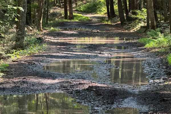
This started out as a loose gravel, non-maintained 2-lane road, nothing technically. This follows a river where there are plenty of pull-offs to walk down to the river. Also, there are sections to pull over and park to go hiking. At about 4 miles in, this changes to a much more technical route. The ...
Learn more about Lundy Road
Rogue Harbor Road
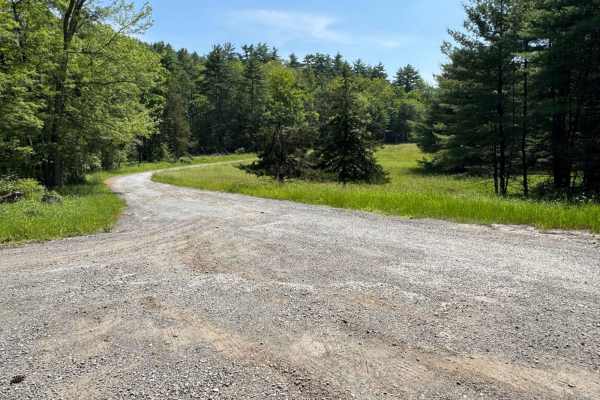
This is a loose gravel road, most of which is suitable for two vehicles. There is nothing technical on this road; it is just a nice, easy drive, with views of the streams and a small bridge. There are areas to pull over and park, and to go hiking.
Learn more about Rogue Harbor Road
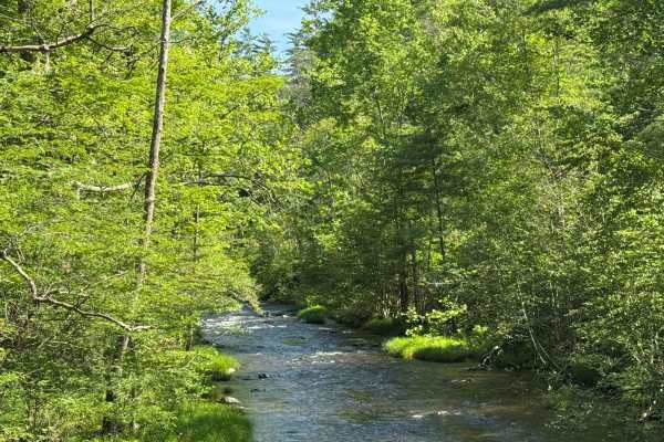
Cutler Road
This is a loose gravel road off of Lundy Road. Cross over a bridge and start climbing up a small hill. At the end turn around and head back to Lundy Road. There are sections to pull over and park to go hiking. Nothing technical, just a nice short ride.,
Learn more about Cutler Road
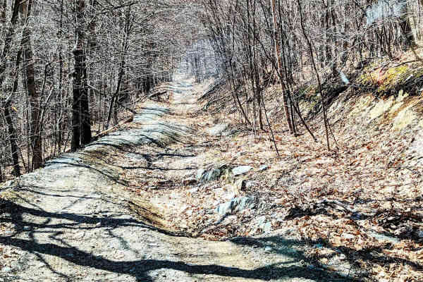
Rounds Mountain DEC Access Road
This is a short but rewarding drive for a novice of roader, or just someone looking for an easy day out. It provides some nice views of the Berkshires and pleasant topography, especially in the spring or fall. Be sure to pay attention to the signs stating where the permitted motorized vehicle use en...
Learn more about Rounds Mountain DEC Access Road
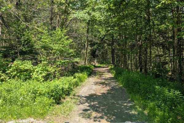
Powell/Stearns Road
From the east, this road begins in Cummington, MA and heads west down a slight but rocky incline, into the Berkshire County town of Windsor where it is named Stearns Road. Mass DOT lists the road as in "intolerable" condition, and for most vehicles, this is spot on. Hardwood forests surround this se...
Learn more about Powell/Stearns Road
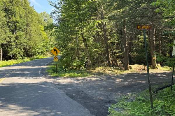
Mill Hollow Road
This is a loose stone and dirt road. This is a short section of road made up of loose stone and gravel. This road follows a river the whole way. There is nothing technical here; there are spots to pull over to let other vehicles go by.
Learn more about Mill Hollow Road
Beginner ATV trails near Sharon, Connecticut
Explore ATV-friendly trails near you. These trails are accessible for vehicles up to 50 inches wide, perfect for ATVs and smaller off-road machines.
Mount Wilcox Road
Mount Wilcox Road is the main loop that meanders through Beartown State Forest. The loop is 4.3 miles and climbs from 1,600 feet to 2,100 feet. The trail begins and ends off Benedict Pond Road. Halfway through the route from either direction is a short spur that breaks off and provides access to the...
Learn more about Mount Wilcox Road
Sky Peak Road
Sky Peak Road is a short connector between Beartown Mountain Road and Wilcox Mountain Road. The trail begins from Beartown and climbs from 1760 to 1900 feet in the short 0.7 miles of the trail over loose rock. The trail is well-graded in most sections, with some showing exposed rock. The trail ends...
Learn more about Sky Peak Road
Ashley Lake Road
Ashley Lake Road is an old, unmaintained road through October Mountain State Forest. It rolls through hardwood forests past multiple lakes/reservoirs, including Ashley Lake, Sandwash Reservoir (this has a unique "aerator" which is a large fountain in the middle of the woods), Clapp Pond, and Mud Pon...
Learn more about Ashley Lake Road
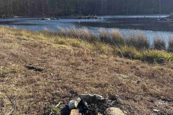
Del Reeves Road
This mellow backroad route through Meshomasic State Forest follows a rough, mostly dirt track with a few gravel sections mixed in. It’s doable in nearly any vehicle, but something with off-road durability makes the ride smoother, especially when the ruts deepen, or rain turns things muddy. You’ll pa...
Learn more about Del Reeves Road
Beginner UTV/side-by-side trails near Sharon, Connecticut
Find UTV and side-by-side trails near you. These trails accommodate vehicles up to 60 inches wide, ideal for UTVs, side-by-sides, and wider off-road rigs.
Mount Wilcox Road
Mount Wilcox Road is the main loop that meanders through Beartown State Forest. The loop is 4.3 miles and climbs from 1,600 feet to 2,100 feet. The trail begins and ends off Benedict Pond Road. Halfway through the route from either direction is a short spur that breaks off and provides access to the...
Learn more about Mount Wilcox Road
Sky Peak Road
Sky Peak Road is a short connector between Beartown Mountain Road and Wilcox Mountain Road. The trail begins from Beartown and climbs from 1760 to 1900 feet in the short 0.7 miles of the trail over loose rock. The trail is well-graded in most sections, with some showing exposed rock. The trail ends...
Learn more about Sky Peak Road
Ashley Lake Road
Ashley Lake Road is an old, unmaintained road through October Mountain State Forest. It rolls through hardwood forests past multiple lakes/reservoirs, including Ashley Lake, Sandwash Reservoir (this has a unique "aerator" which is a large fountain in the middle of the woods), Clapp Pond, and Mud Pon...
Learn more about Ashley Lake Road
Del Reeves Road
This mellow backroad route through Meshomasic State Forest follows a rough, mostly dirt track with a few gravel sections mixed in. It’s doable in nearly any vehicle, but something with off-road durability makes the ride smoother, especially when the ruts deepen, or rain turns things muddy. You’ll pa...
Learn more about Del Reeves Road
The onX Offroad Difference
onX Offroad combines trail photos, descriptions, difficulty ratings, width restrictions, seasonality, and more in a user-friendly interface. Available on all devices, with offline access and full compatibility with CarPlay and Android Auto. Discover what you're missing today!
Open Trail Map