
Beginner Off-Road Trails
Near Severance, Colorado
Explore All Beginner Trails Near Severance, Colorado
Beginner Off-Road Trails Near Severance, Colorado
Discover the best beginner-friendly off-road trails near you. These easier, lower-rated trails are a great place to start — browse trail maps, check difficulty ratings, and find your next adventure.
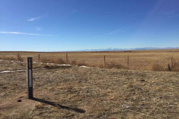
Crow Valley Loop
Pawnee National Grasslands offers a distinct landscape of wide-open views and rolling hills with ample opportunities for recreation. This area is a checkerboard of National Grasslands, State of Colorado, Central Plains Experimental Range, and private lands. The area contains numerous Forest Service ...
Learn more about Crow Valley Loop
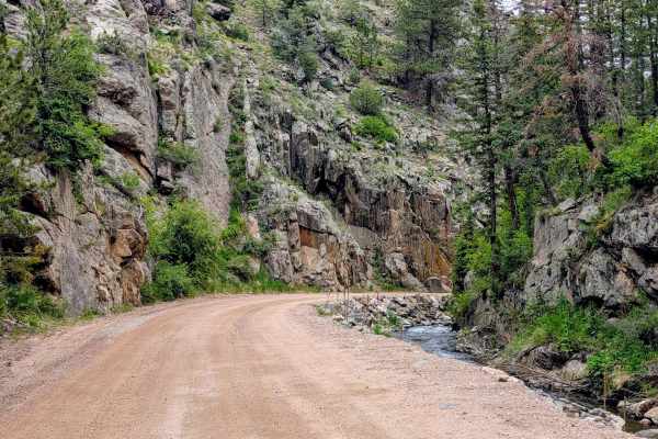
Buckhorn Road - 44H
Buckhorn Road (Larimer County Road 44H) is a highly scenic dirt route that serves as a major connector between the Stove Prairie area and Pingree Park Road. Heading east to west, the trail gently climbs through Buckhorn Canyon, following a creek through thick pine and aspen forests up to the 9,163-f...
Learn more about Buckhorn Road - 44H
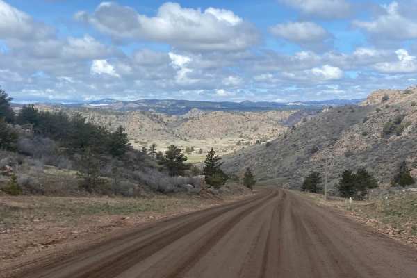
CR 80C Maintained Track of Cherokee Park Road
A gorgeous drive through part of the Roosevelt National Forest for those who want to see some scenic landscape in a 2WD. This track of the road is maintained but you should still use caution in spring and winter where the roads can become muddy, and snow-covered. This road gives access to the Colora...
Learn more about CR 80C Maintained Track of Cherokee Park Road
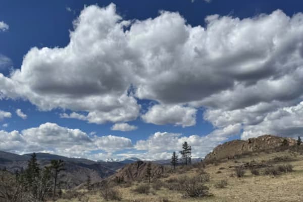
Swan Road
This out-and-back trail traverses several ridges with steep grades and 360-degree views of the surrounding mountains and valleys. The trail is mostly made up of a two-track forest road. Several of the descents/accents are eroded, creating the most challenging and technical sections of the trail. The...
Learn more about Swan Road
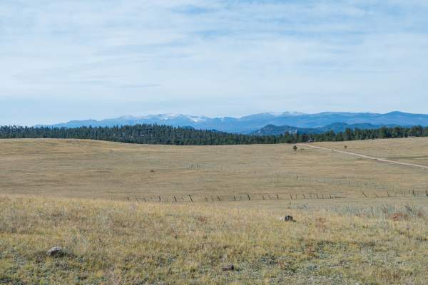
Chicken Park Traverse
This scenic county trail route follows Larimer County Roads 82E, 67J, and 73C, providing access to the Chicken Park trail system and a few additional spur trails. The eastern side of the trail primarily passes through open private grasslands on its eastern end, used for ranches and cattle grazing, g...
Learn more about Chicken Park Traverse
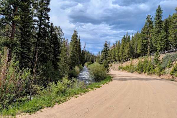
Pingree Park Road
Pingree Park Road (CR 63E) is an easy, scenic gravel route running from Highway 14 down to the CSU Mountain Campus. Originally an 1860s logging route used to float railroad ties down the Poudre River, today it’s a relaxing drive through Roosevelt National Forest with sweeping views of the Mummy Rang...
Learn more about Pingree Park Road
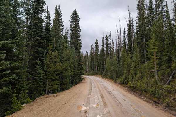
Crown Point Road
Crown Point Road, located in Roosevelt National Forest near Rustic, Colorado, is a scenic off-road trail that offers an escape into the foothills of the Rocky Mountains. Known for its sweeping views and easy access to hiking trails, this route is perfect for anyone seeking a mix of mild offroad chal...
Learn more about Crown Point Road
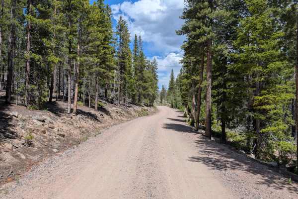
FS 145
This is a short and easy out-and-back trail. The trail passes through a private area leading back to a group camp and some private houses. The local landowners have built a gate and marked it as private property, so the accessible trail terminates before the map shows. However, this road gives you a...
Learn more about FS 145
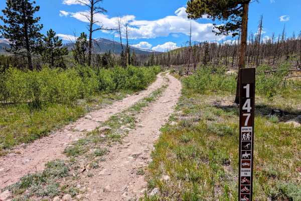
FS 147
Forest Service Road 147 is a quick, one-mile out-and-back spur off FS 145 that serves a single primary purpose: accessing the Emmaline Lake primitive trailhead. Because of its short length, it is not a standalone off-roading destination, but rather a bumpy access route for hikers and backpackers. Th...
Learn more about FS 147
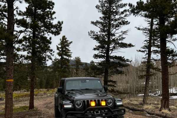
Rifle Road
The route begins in the middle of Cave Creek and is both USFS 217C and 217D. If you head up the left side of the trail there is a nice hill that offers some good rock climbing for the more mild vehicles. Once you reach the end of the left side, it opens up to a nice little fire ring accompanied by a...
Learn more about Rifle Road
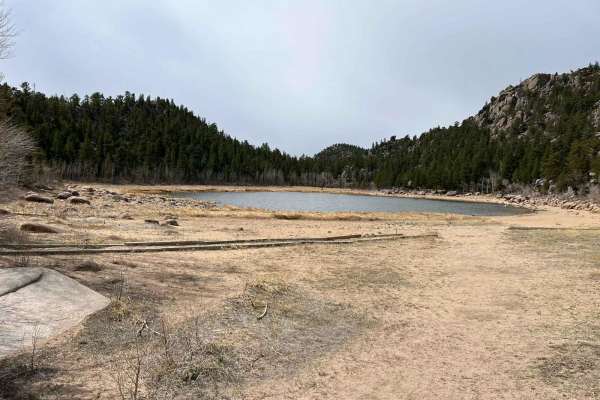
Lost Lake
This easy two-track/ graded forest service road winds through open forest of conifers and aspen. There are a couple of small rutted washes and tight corners, but for the most part, this is just a nice drive through the woods. The road passes by many dispersed camping spots with well-established fire...
Learn more about Lost Lake
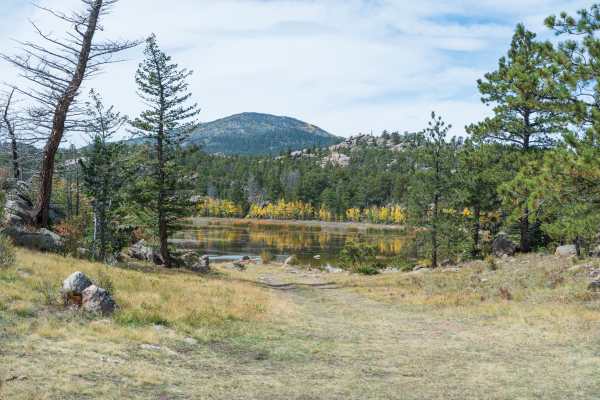
Chicken Park - FS 181
This scenic trail is the main route through the Chicken Park trail system. The trail passes through a mix of pine and aspen forest within open meadows and rock formations. Some rock formations are 100’s of feet tall. The trail passes by multiple dispersed campsites and spur trails. The trail ends at...
Learn more about Chicken Park - FS 181
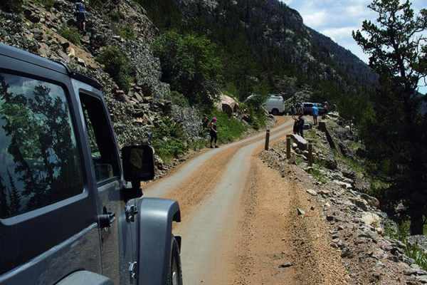
Old Fall River Road
Bring your camera and visit Chasm Falls. Drive above the timberline on winding switchbacks, then visit Estes Park where you can get up close to elk (not too close), shop and have a great meal. A fee is required to enter the park. This road is open July 4 and closes with the first heavy snowfall. No ...
Learn more about Old Fall River Road
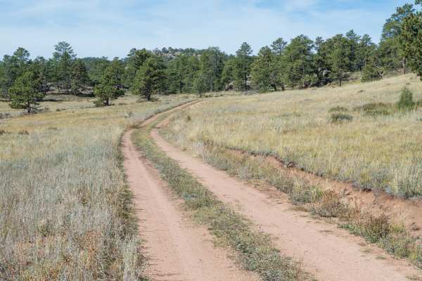
Forest Service Road 181C
This is a spur trail off the main Forest Service Road 181 route through the Chicken Park trail system. The trail leaves the more open meadow area, going into a forested area with a mix of pines, aspens, and rock formations. The trail passes by a few dispersed campsites with a larger dispersed campsi...
Learn more about Forest Service Road 181C
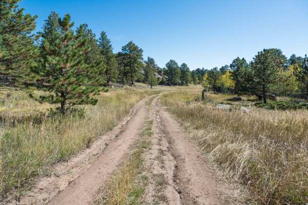
Forest Service Road 181D
This is a spur trail off the main Forest Service Road 181 route through the Chicken Park trail system. The trail leaves the more open meadow area, going into a forested area with a mix of pines, aspens, and rock formations. The trail passes by a few dispersed campsites. The trail is typically one ve...
Learn more about Forest Service Road 181D
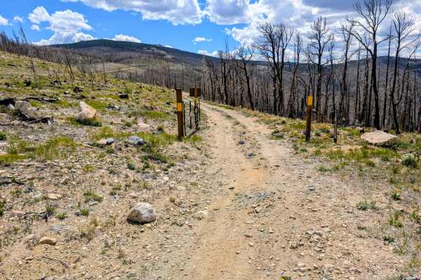
Black Hollow Road - FS 142
Black Hollow Road (Forest Road 142) is a moderately short but striking loop accessed directly off Crown Point Road in the Roosevelt National Forest. The defining characteristic of this trail is its path through the 2020 Cameron Peak Fire burn scar. The landscape is a stark, fascinating mix of charre...
Learn more about Black Hollow Road - FS 142
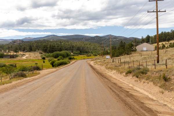
Deadman Lookout
Deadman Lookout is an easy and accessible trail that runs double-wide for its entire length, making it suitable for all types of high-clearance vehicles and a comfortable ride compared to more rugged nearby routes. The road is free of obstacles, though drivers can expect sporadic washboard sections ...
Learn more about Deadman Lookout
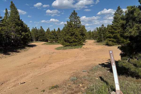
171.A
This trail connects County Road 69 to the Sevenmile Creek Trail. There is a large camping area at the west entrance of the trail, as well as several smaller sights throughout the route. Keep in mind that OHVs are not allowed on County Road 69 as you exit on the east end, so plan your route according...
Learn more about 171.A
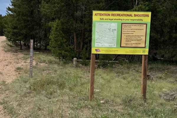
171.B
Road 171.B is a road that loops off of Sevenmile Creek. It will take about 30 minutes to complete the trail. Portions of this trail go through the burn scare from the Cameron Peak Fire in 2020. There is little to no Cell Service with many places to camp off the road.
Learn more about 171.B
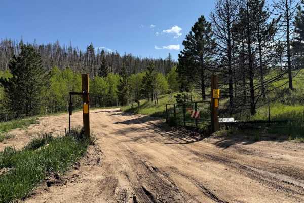
171.0
This trail connects County Road 69 to the Sevenmile Creek Trail and offers easy travel with several camping opportunities along the way. Be sure to explore the side trails as they lead to more secluded campsites and great views. Keep in mind that OHVs aren't allowed on County Road 69 at the east end...
Learn more about 171.0
Beginner ATV trails near Severance, Colorado
Explore ATV-friendly trails near you. These trails are accessible for vehicles up to 50 inches wide, perfect for ATVs and smaller off-road machines.
Rifle Road
The route begins in the middle of Cave Creek and is both USFS 217C and 217D. If you head up the left side of the trail there is a nice hill that offers some good rock climbing for the more mild vehicles. Once you reach the end of the left side, it opens up to a nice little fire ring accompanied by a...
Learn more about Rifle Road
Chicken Park - FS 181
This scenic trail is the main route through the Chicken Park trail system. The trail passes through a mix of pine and aspen forest within open meadows and rock formations. Some rock formations are 100’s of feet tall. The trail passes by multiple dispersed campsites and spur trails. The trail ends at...
Learn more about Chicken Park - FS 181
Forest Service Road 181C
This is a spur trail off the main Forest Service Road 181 route through the Chicken Park trail system. The trail leaves the more open meadow area, going into a forested area with a mix of pines, aspens, and rock formations. The trail passes by a few dispersed campsites with a larger dispersed campsi...
Learn more about Forest Service Road 181C
Forest Service Road 181D
This is a spur trail off the main Forest Service Road 181 route through the Chicken Park trail system. The trail leaves the more open meadow area, going into a forested area with a mix of pines, aspens, and rock formations. The trail passes by a few dispersed campsites. The trail is typically one ve...
Learn more about Forest Service Road 181D
Beginner UTV/side-by-side trails near Severance, Colorado
Find UTV and side-by-side trails near you. These trails accommodate vehicles up to 60 inches wide, ideal for UTVs, side-by-sides, and wider off-road rigs.
Rifle Road
The route begins in the middle of Cave Creek and is both USFS 217C and 217D. If you head up the left side of the trail there is a nice hill that offers some good rock climbing for the more mild vehicles. Once you reach the end of the left side, it opens up to a nice little fire ring accompanied by a...
Learn more about Rifle Road
Chicken Park - FS 181
This scenic trail is the main route through the Chicken Park trail system. The trail passes through a mix of pine and aspen forest within open meadows and rock formations. Some rock formations are 100’s of feet tall. The trail passes by multiple dispersed campsites and spur trails. The trail ends at...
Learn more about Chicken Park - FS 181
Forest Service Road 181C
This is a spur trail off the main Forest Service Road 181 route through the Chicken Park trail system. The trail leaves the more open meadow area, going into a forested area with a mix of pines, aspens, and rock formations. The trail passes by a few dispersed campsites with a larger dispersed campsi...
Learn more about Forest Service Road 181C
Forest Service Road 181D
This is a spur trail off the main Forest Service Road 181 route through the Chicken Park trail system. The trail leaves the more open meadow area, going into a forested area with a mix of pines, aspens, and rock formations. The trail passes by a few dispersed campsites. The trail is typically one ve...
Learn more about Forest Service Road 181D
The onX Offroad Difference
onX Offroad combines trail photos, descriptions, difficulty ratings, width restrictions, seasonality, and more in a user-friendly interface. Available on all devices, with offline access and full compatibility with CarPlay and Android Auto. Discover what you're missing today!
Open Trail Map