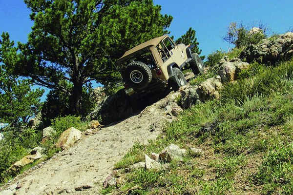
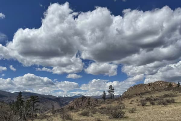
Trail Overview
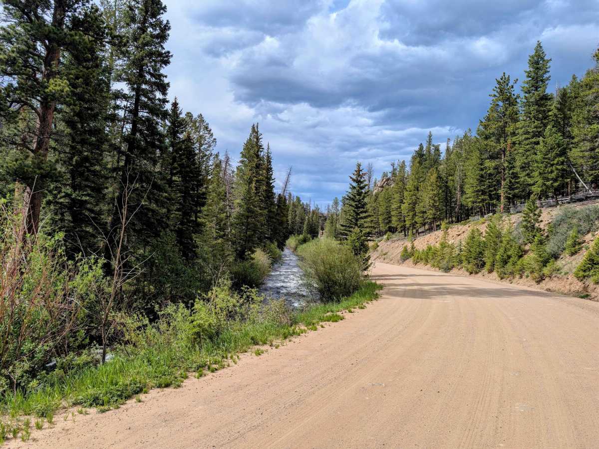
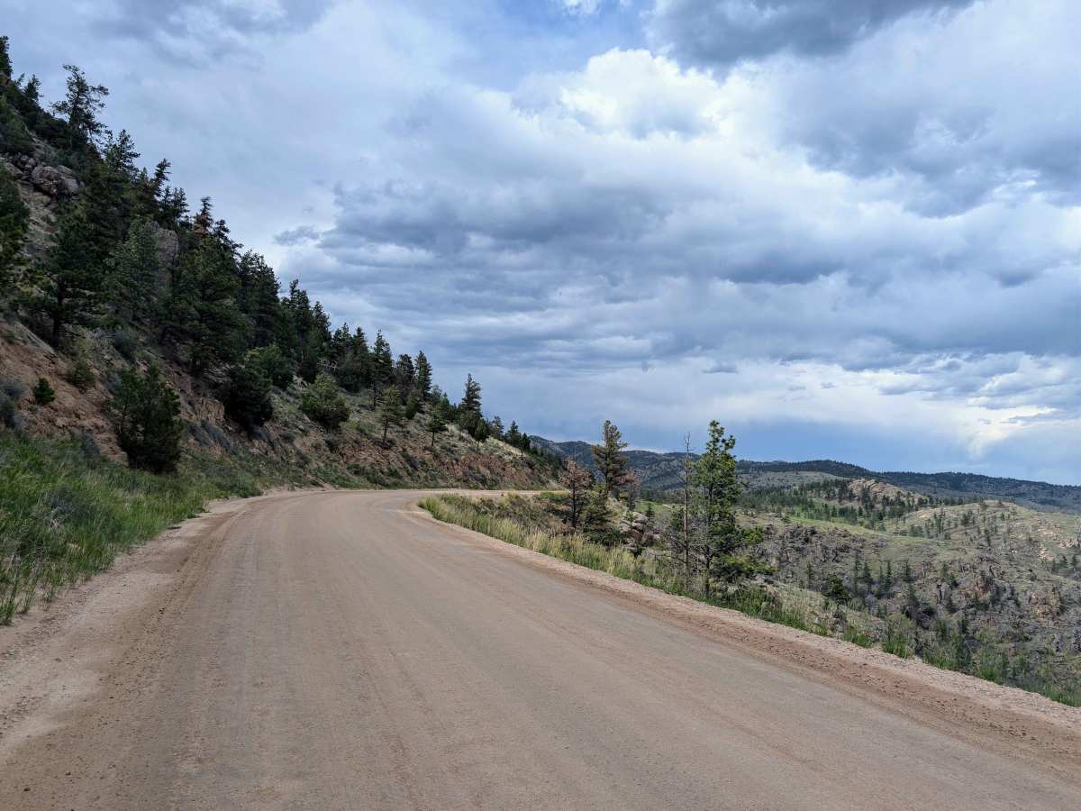
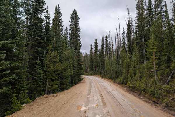
Pingree Park Road (CR 63E) is an easy, scenic gravel route running from Highway 14 down to the CSU Mountain Campus. Originally an 1860s logging route used to float railroad ties down the Poudre River, today it’s a relaxing drive through Roosevelt National Forest with sweeping views of the Mummy Range.
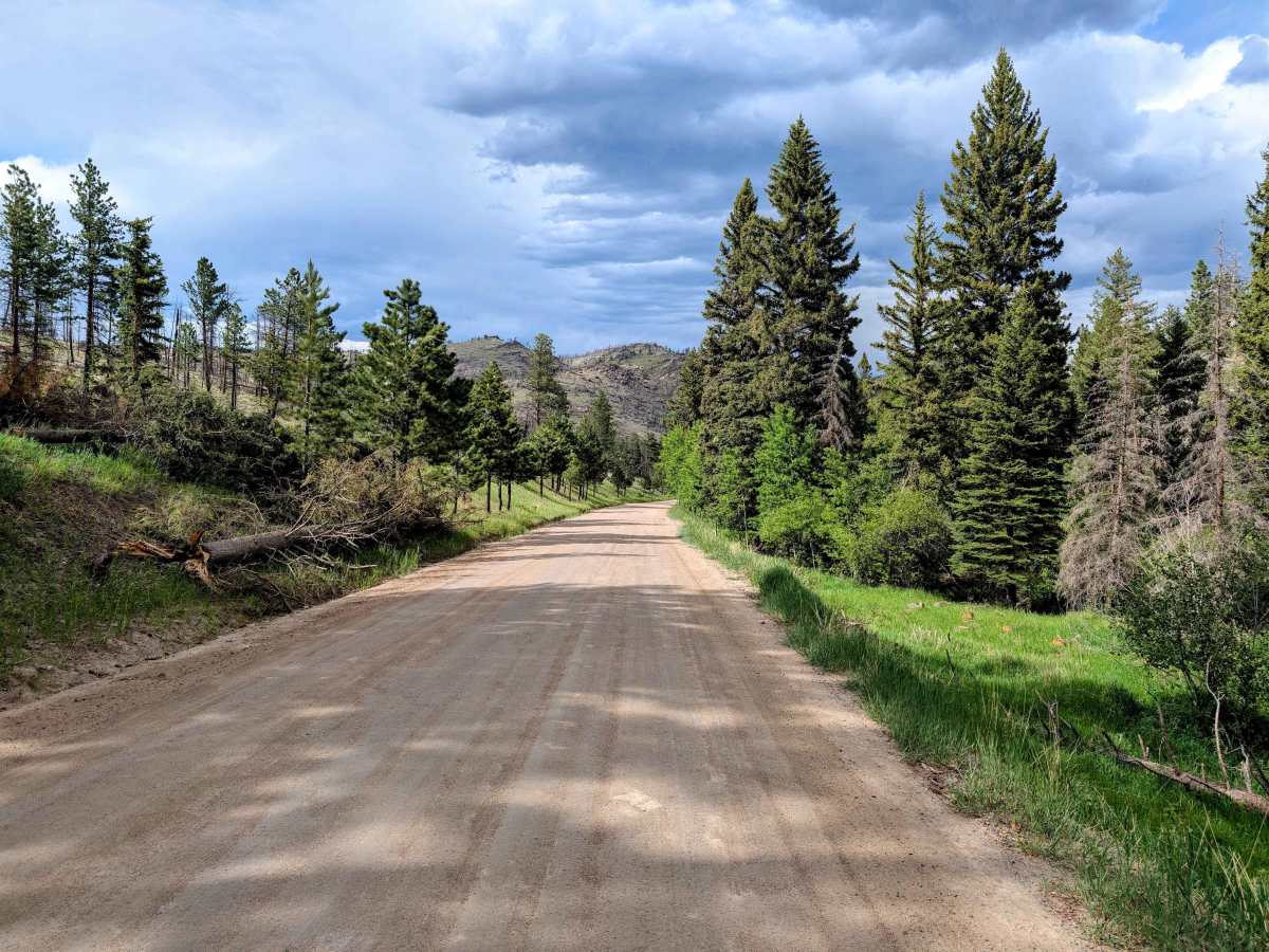
The terrain is mostly smooth dirt and gravel, but traffic creates washboarding a lot of the year. Airing down your tires is recommended to save your suspension and keep your teeth from chattering, but not required. Early season or post-rain runs might have shallow mud, but nothing requiring 4x4 or a spotter.
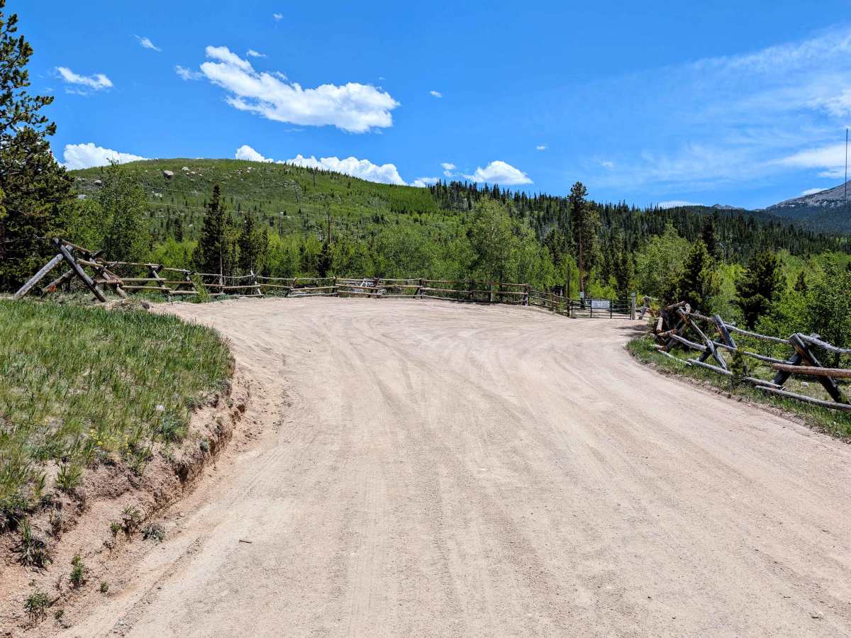
The first 6 miles have a lot of great dispersed camping areas with established stone fire pits and scattered sites afterwards. The middle of the trail passes through some private land, so be aware if you are on private or National Forest Land. A section of the road runs along the south fork of the Poudre River, which has decent fly fishing. You can hike to a 1943 B-17 bomber crash site near Jack's Gulch, or check out preserved 1890s homestead cabins at the CSU campus at the end of the route. It’s a fantastic, easygoing drive and the main artery for hitting tougher 4x4 trails like Old Flowers Road.