Trail Overview
Crown Point Road, located in Roosevelt National Forest near Rustic, Colorado, is a scenic off-road trail that offers an escape into the foothills of the Rocky Mountains. Known for its sweeping views and easy access to hiking trails, this route is perfect for anyone seeking a mix of mild offroad challenges and natural beauty.
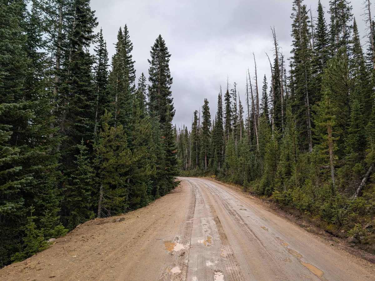
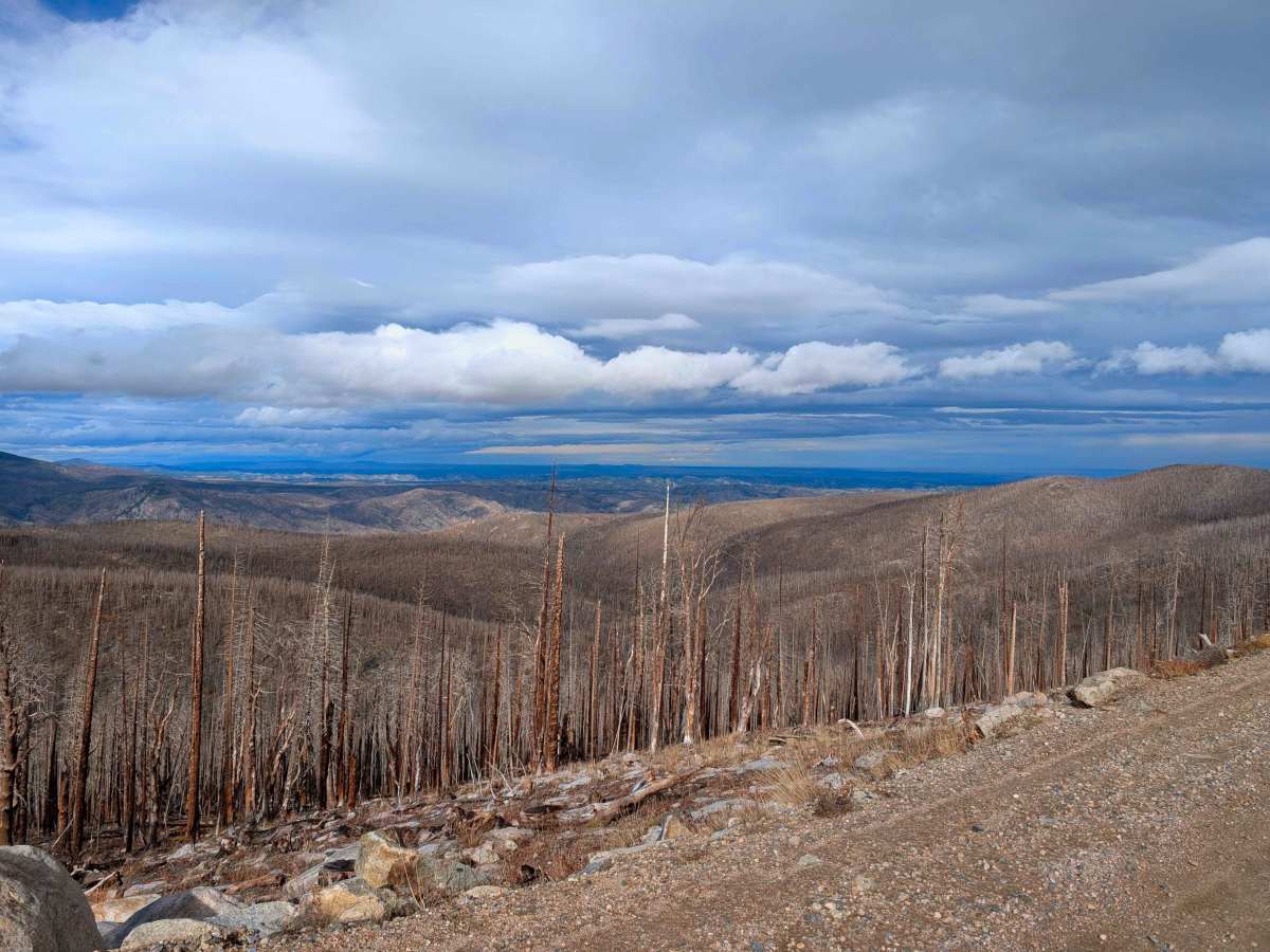
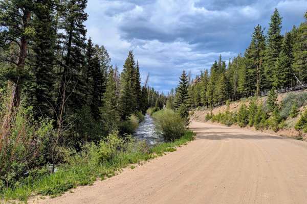
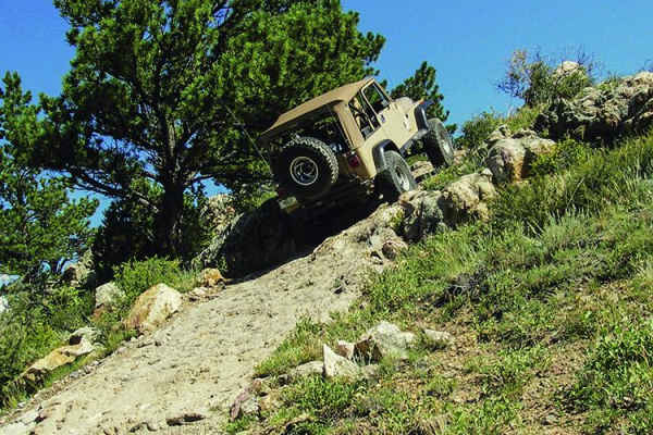
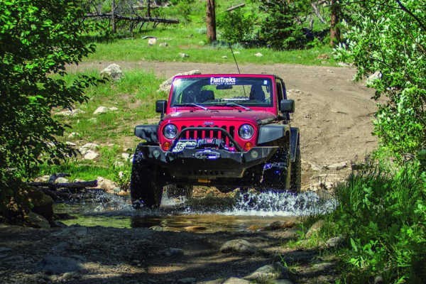
The trail begins at the junction with County Road 44H, starting as a wide dirt road that gently ascends into the forest. As the trail climbs higher light technical challenges add an element of adventure without being overly demanding. Along the way, clearings provide stunning views of the surrounding valleys and ridgelines, particularly in the fall when the aspens blaze with golden hues.
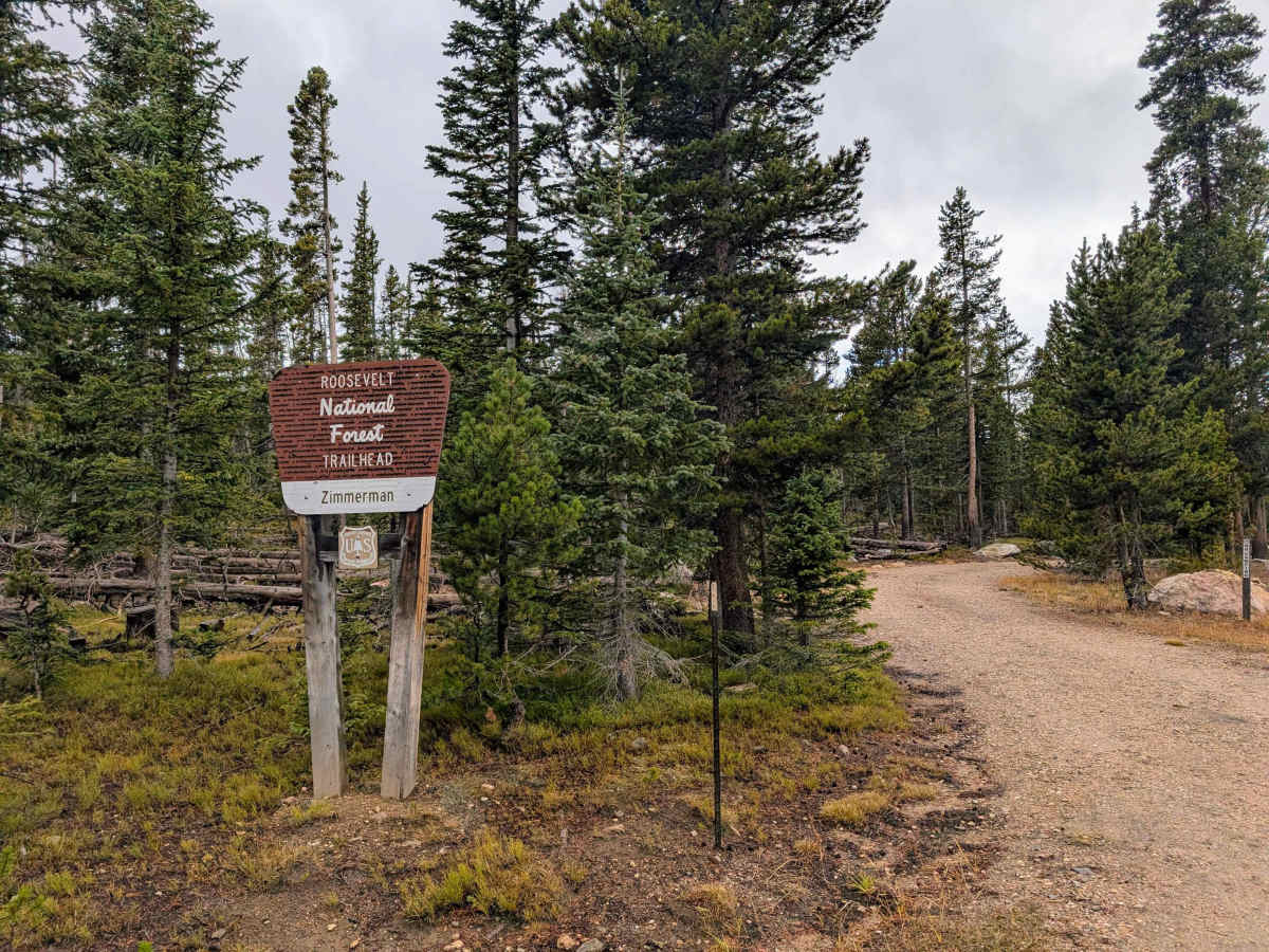
Midway through the route, Crown Point Road meanders through meadows and dense stands of pines, offering opportunities for wildlife sightings, including deer & elk. Seasonal wildflowers bring vibrant color to the landscape in the summer, making the drive especially picturesque. The trail concludes at the Crown Point Trailhead, a gateway to additional outdoor adventures, including hiking trails that lead into the heart of Roosevelt National Forest. Whether enjoyed as a standalone outing or part of a larger adventure, this route offers a rewarding blend of tranquility and rugged charm.
Difficulty
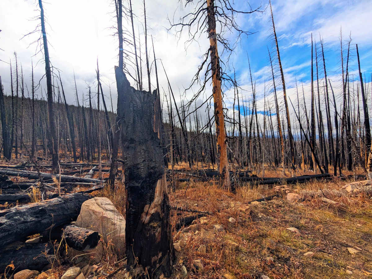
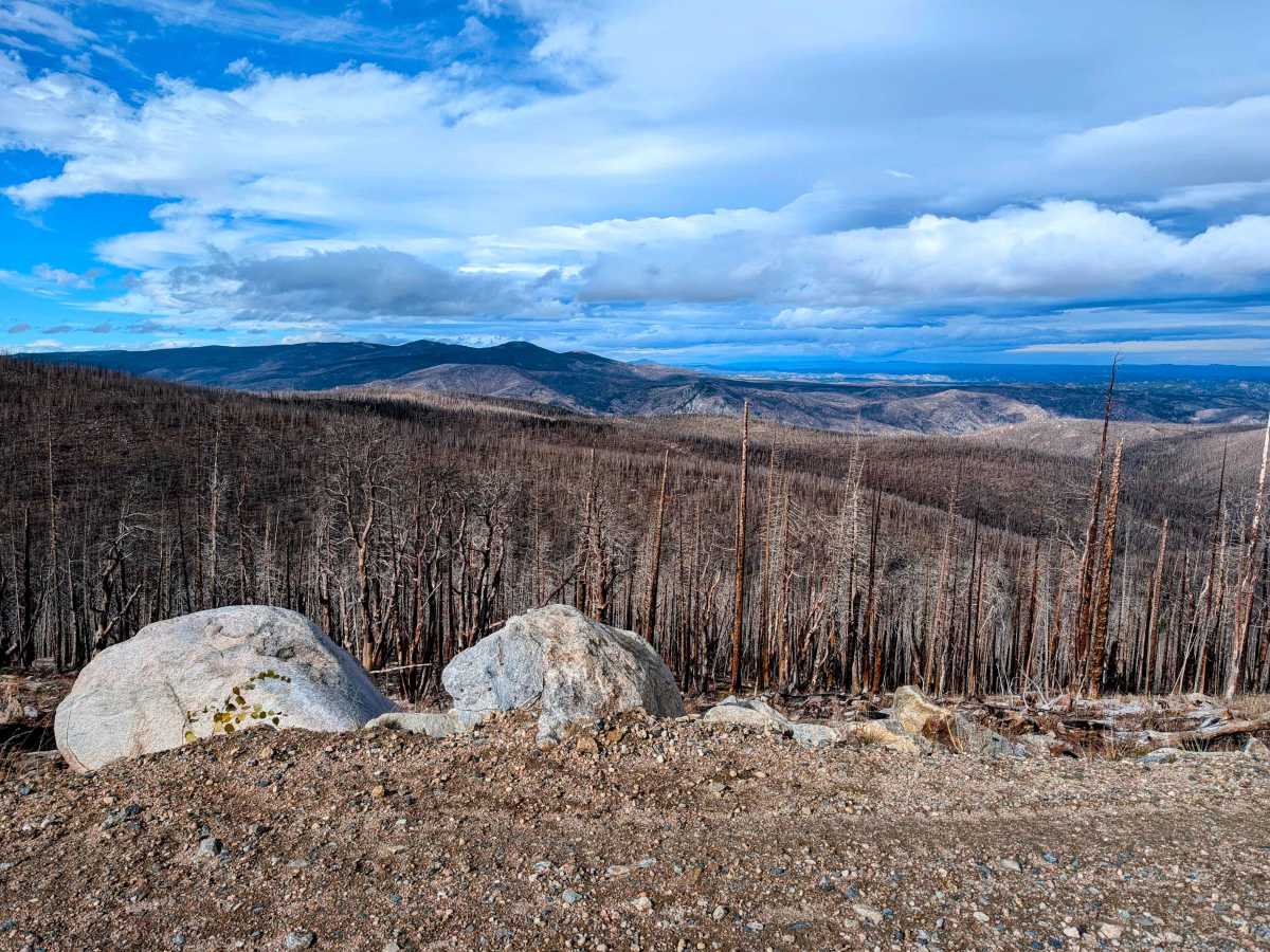
Easy road that has a history of washouts and deep ruts, so look for trail reports of current conditions. Be aware that the burn scars have the potential for flash flooding, so pay attention to the weather. Not maintained in the winter and usually impassable if there is a snow pack.
History
In the late 1870s and 1880s, Crown Point Road was a critical segment of the primary stagecoach and freight route connecting Fort Collins with the booming silver and gold mining camps in North Park, such as Teller City and Walden. The discovery of precious metals created a rush, and this rugged road became the main artery for transporting people, mail, and essential supplies into the mountains and for bringing valuable ore back out.