
Beginner Off-Road Trails
Near San Marine, Oregon
Explore All Beginner Trails Near San Marine, Oregon
Beginner Off-Road Trails Near San Marine, Oregon
Discover the best beginner-friendly off-road trails near you. These easier, lower-rated trails are a great place to start — browse trail maps, check difficulty ratings, and find your next adventure.
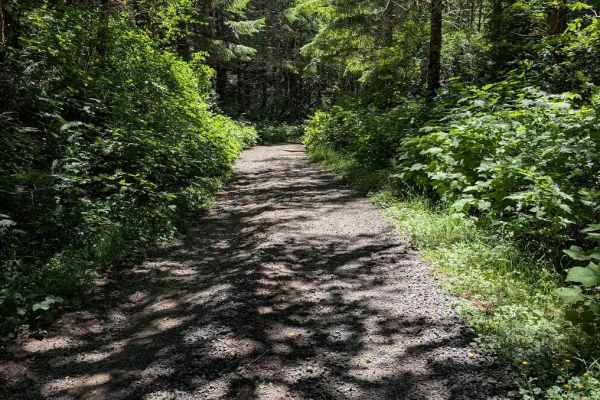
FS 5360
This is an easy gravel road, wide enough to meet another vehicle for much of its length, but also overgrown a bit and single-lane wide in places. It appears to be used more frequently, as shown by numerous fairly deep potholes. The Motor Vehicle Use Map shows it is only open to street-legal vehicles...
Learn more about FS 5360
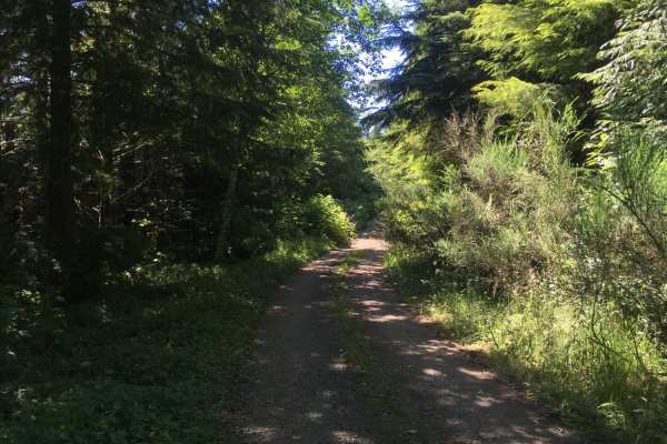
Route 5506 - Siuslaw Natl Forest
This is a short, dirt forest road South of Yachats, Oregon that leads to six dispersed camping sites. The first five sites are reachable using most any type of vehicle, but the finale is a campsite with views of valleys on three sides that is only accessible with 4WD. The road starts as a gentle, ha...
Learn more about Route 5506 - Siuslaw Natl Forest
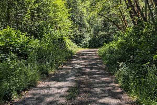
FS 5304
This is an easy gravel road that takes you through a lush forest with significant undergrowth. The Motor Vehicle Use map shows it is open only to street-legal vehicles, which does include street legal motorcycles. It is mostly single-lane. This track connects the FS 3462 Road to the FS 53 Road.
Learn more about FS 5304
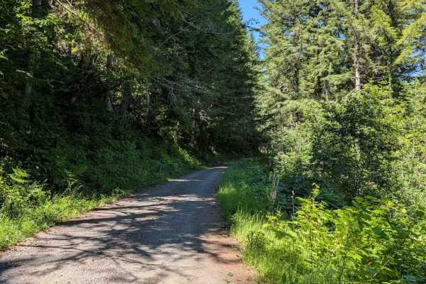
Yachats River Road - FS 54
This track begins where the pavement ends on Yachats River Road. It follows the river for the first bit, giving some good views. It is an easy gravel road, wide enough for two vehicles to meet for much of its length. The Motor Vehicle Use Map shows it is only open to street-legal vehicles, including...
Learn more about Yachats River Road - FS 54
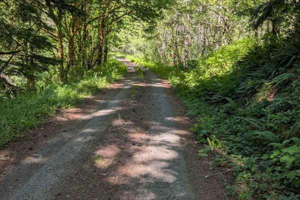
E Buck Cr Rd - FS 3705
This is an easy gravel road that is single-lane in places. It travels through a lush forest with thick undergrowth in most places. The track connects the FS 58 road to East Five Rivers Road (great if you like curvy paved roads). The Motor Vehicle Use Map shows this road as open only to street-legal ...
Learn more about E Buck Cr Rd - FS 3705
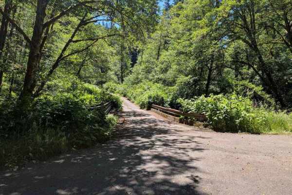
FS 5860
This is an easy gravel road with no real obstacles. It is a single lane wide for parts of the track. The track takes you through a lush forest with significant undergrowth. It connects from FS 58 to FS 3462, both of which are paved forest roads for at least much of their length. The Motor Vehicle Us...
Learn more about FS 5860
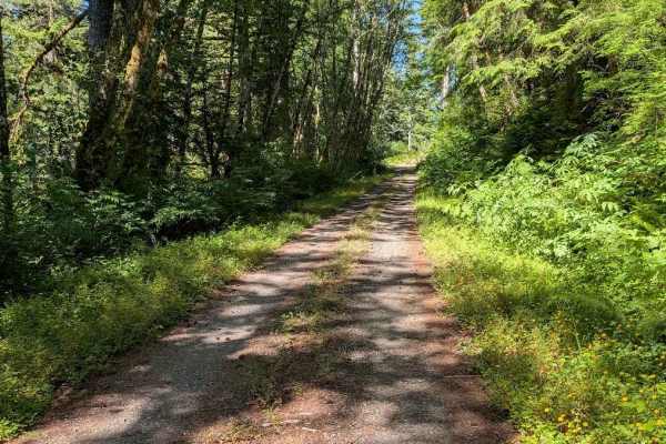
Lake Creek Rd - FS 3210
This is an easy single lane gravel road, connecting the FS 58 road to East Five Rivers Road via a section of single lane paved forest road. The paved portion is actually more overgrown in places than the gravel road. The Motor Vehicle Use Map shows this road as open to street-legal vehicles only, wh...
Learn more about Lake Creek Rd - FS 3210
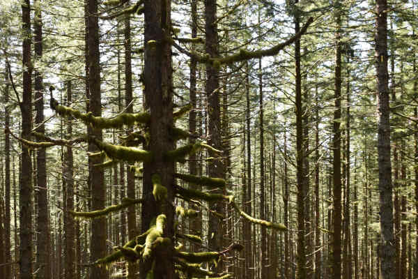
Fairview
Fairview provides access into the Siuslaw National Forest by following a ridge to Fairview Mountain and connecting to a network of other forest service roads at the top. There are a couple of options for dispersed camping by exploring some spurs to the side of the road. Fairview borders the Rock Cre...
Learn more about Fairview
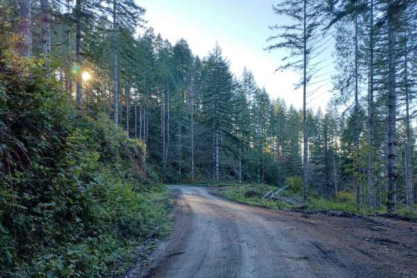
Boundary
Boundary Road is an easy gravel road that runs through the Siuslaw National Forest. It is a busy road for logging, so be careful around corners. You will find a few small spots off the side of the road where you could park and camp, but none that have fire pits, most spots are only big enough for on...
Learn more about Boundary
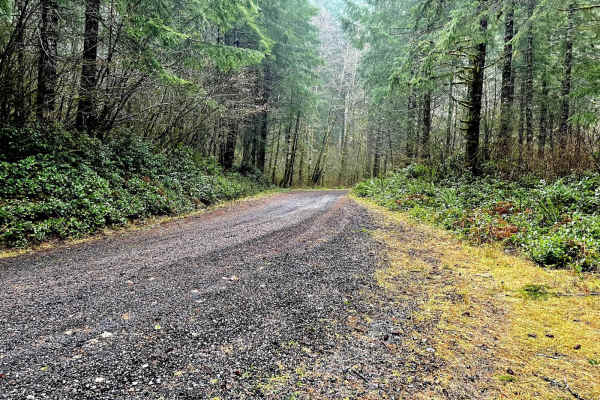
Oregon Coast Trail to Sea Lion Caves
This trail runs through the Siuslaw National Forest. It is an easy gravel road with a very dense forest with lots of old-growth trees. There are multiple side trails to run for further exploration, including roads up to where old lookout towers used to be that have great views. There are some disper...
Learn more about Oregon Coast Trail to Sea Lion Caves
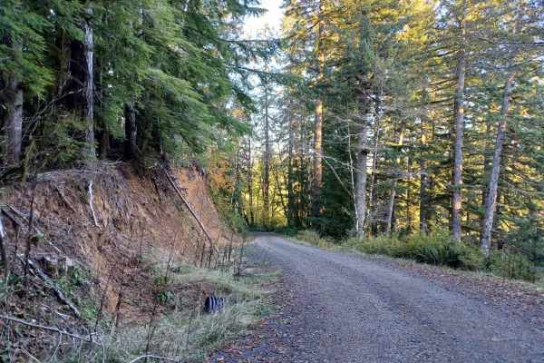
5800
Forest Road 5800 offers an easy, scenic drive through the lush canopy of the Oregon Coast Range in the Siuslaw National Forest, making it perfect for beginners and drivers looking for a relaxing route. Stretching approximately 4.9 miles, this gravel road features gentle elevation changes as it winds...
Learn more about 5800
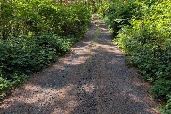
Grass Creek Rd - FS 3430
This is an easy gravel road that is overgrown in places. The track begins where the pavement ends on Grass Creek Road. It is a two-track for much of its length, starting wider and then narrowing and becoming more overgrown. The road is open to all vehicle classes, but even a motorcycle will be pushi...
Learn more about Grass Creek Rd - FS 3430
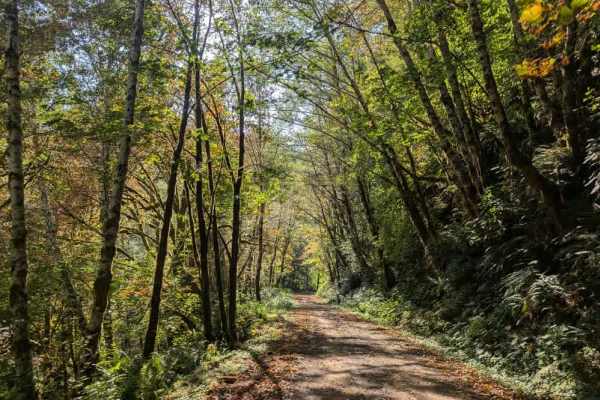
FS 56
This very well-maintained trail provides access to the paved road and offers a beautiful drive through the surrounding area, with dispersed camping allowed along the way. The trail has a significant elevation change depending on the direction of travel. When approaching from the northeast, the route...
Learn more about FS 56
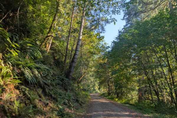
FS 5840000
This gorgeous forest road is very well maintained, with a smooth gravel surface that makes for a beautiful drive through the surrounding forest. The route descends for a stretch, then climbs again and eventually passes through a logging area. Watch for rockfall along the road, especially where the r...
Learn more about FS 5840000
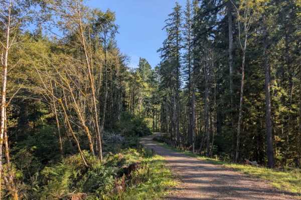
FS 5840624
This very well-maintained trail steadily climbs into the mountains and provides a beautiful drive through the forest. The route passes several areas that have been partially logged, but much of the surrounding forest remains intact. Near the end, the road becomes overgrown and eventually stops. Be e...
Learn more about FS 5840624
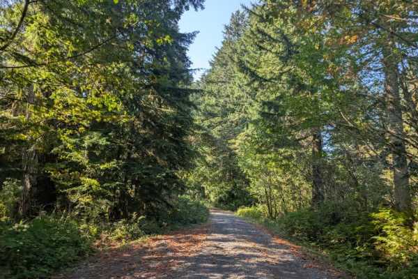
FS 2500000
This very well-maintained trail sees regular use from logging trucks, so take care and watch for work vehicles. It begins as a wide gravel road with beautiful views through a lush, green forest, then continues along a plateau before entering a more active logging area. Here, the forest becomes less ...
Learn more about FS 2500000
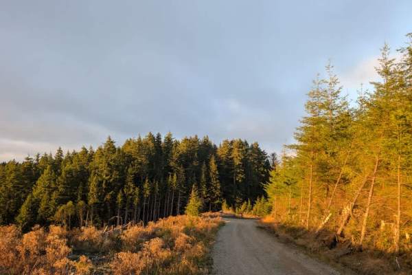
FS 1030
This well-maintained trail follows the simple rule that what goes up must come down, dropping approximately 1,000 feet in just one mile. The route is absolutely gorgeous, with stunning outlooks and viewpoints along the way. The descent includes numerous twists, curves, and blind corners, so make sur...
Learn more about FS 1030
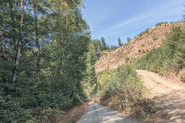
Blind Corners
Blind Corners is a gravel road that is typically unmaintained. There are many blind corners with hard visibility, so taking a slow speed would be recommended, hence the name. A few times on the drive the trees will clear out, or the road will be high enough that the views of the valley and the Yaqui...
Learn more about Blind Corners
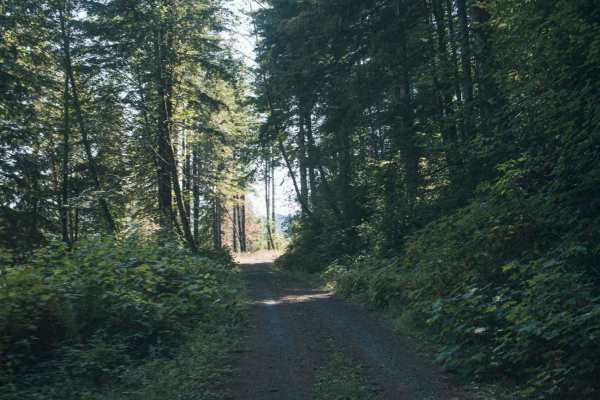
1000 Line
1000 Line Road runs through a mix of Siuslaw National Forst, Weyerhaeuser, and private property and the road does connect with other roads. This is an easy gravel road that is typically unmaintained, it tends to have overgrown vegetation and fallen tree limbs after a big storm or winter. There was o...
Learn more about 1000 Line
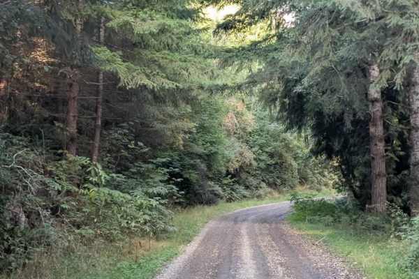
FS 120
The road is smooth and easy to navigate, passing through a beautiful forested setting. Logging activity is present in the area, so watch carefully for logging trucks and other work-related traffic along the route. A couple of alternative trails also branch from the main road, offering additional rou...
Learn more about FS 120
Beginner ATV trails near San Marine, Oregon
Explore ATV-friendly trails near you. These trails are accessible for vehicles up to 50 inches wide, perfect for ATVs and smaller off-road machines.
Boundary
Boundary Road is an easy gravel road that runs through the Siuslaw National Forest. It is a busy road for logging, so be careful around corners. You will find a few small spots off the side of the road where you could park and camp, but none that have fire pits, most spots are only big enough for on...
Learn more about Boundary
5800
Forest Road 5800 offers an easy, scenic drive through the lush canopy of the Oregon Coast Range in the Siuslaw National Forest, making it perfect for beginners and drivers looking for a relaxing route. Stretching approximately 4.9 miles, this gravel road features gentle elevation changes as it winds...
Learn more about 5800
Grass Creek Rd - FS 3430
This is an easy gravel road that is overgrown in places. The track begins where the pavement ends on Grass Creek Road. It is a two-track for much of its length, starting wider and then narrowing and becoming more overgrown. The road is open to all vehicle classes, but even a motorcycle will be pushi...
Learn more about Grass Creek Rd - FS 3430
FS 5840624
This very well-maintained trail steadily climbs into the mountains and provides a beautiful drive through the forest. The route passes several areas that have been partially logged, but much of the surrounding forest remains intact. Near the end, the road becomes overgrown and eventually stops. Be e...
Learn more about FS 5840624
Beginner UTV/side-by-side trails near San Marine, Oregon
Find UTV and side-by-side trails near you. These trails accommodate vehicles up to 60 inches wide, ideal for UTVs, side-by-sides, and wider off-road rigs.
Boundary
Boundary Road is an easy gravel road that runs through the Siuslaw National Forest. It is a busy road for logging, so be careful around corners. You will find a few small spots off the side of the road where you could park and camp, but none that have fire pits, most spots are only big enough for on...
Learn more about Boundary
5800
Forest Road 5800 offers an easy, scenic drive through the lush canopy of the Oregon Coast Range in the Siuslaw National Forest, making it perfect for beginners and drivers looking for a relaxing route. Stretching approximately 4.9 miles, this gravel road features gentle elevation changes as it winds...
Learn more about 5800
Grass Creek Rd - FS 3430
This is an easy gravel road that is overgrown in places. The track begins where the pavement ends on Grass Creek Road. It is a two-track for much of its length, starting wider and then narrowing and becoming more overgrown. The road is open to all vehicle classes, but even a motorcycle will be pushi...
Learn more about Grass Creek Rd - FS 3430
FS 5840624
This very well-maintained trail steadily climbs into the mountains and provides a beautiful drive through the forest. The route passes several areas that have been partially logged, but much of the surrounding forest remains intact. Near the end, the road becomes overgrown and eventually stops. Be e...
Learn more about FS 5840624
The onX Offroad Difference
onX Offroad combines trail photos, descriptions, difficulty ratings, width restrictions, seasonality, and more in a user-friendly interface. Available on all devices, with offline access and full compatibility with CarPlay and Android Auto. Discover what you're missing today!
Open Trail Map