FS 56

Total Miles4.2
Technical Rating
1Easy
Best TimeSpring, Summer, Fall
Trail TypeFull-Width Road
Accessible By
Open Trail Map

Trail Overview

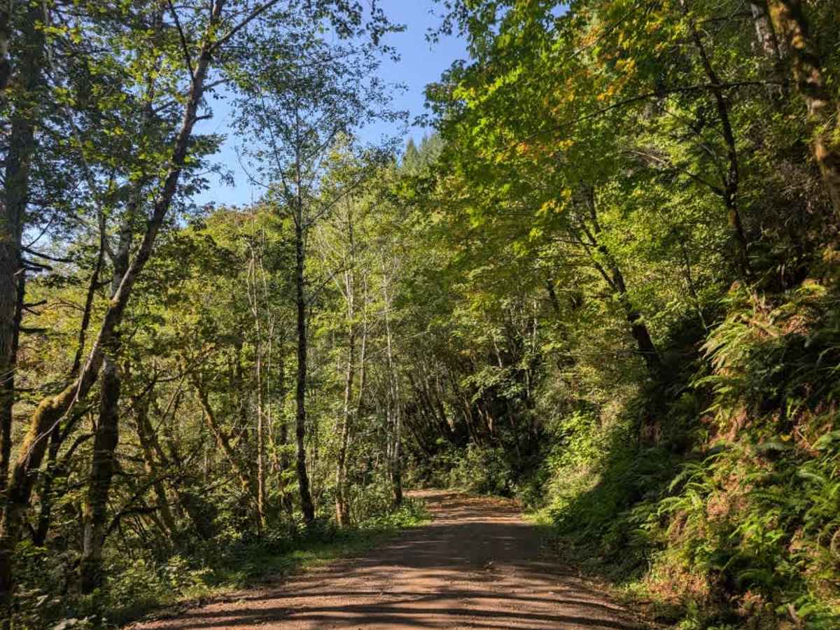
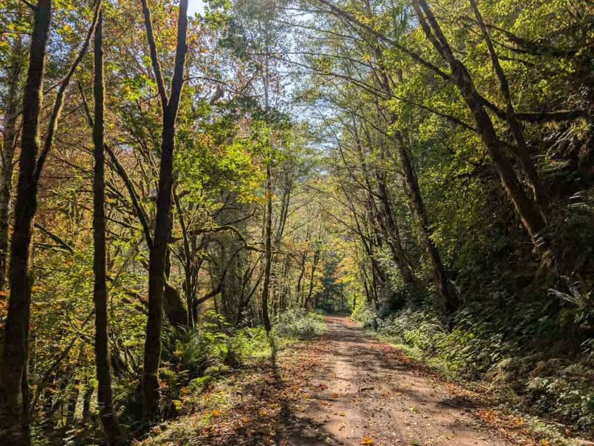
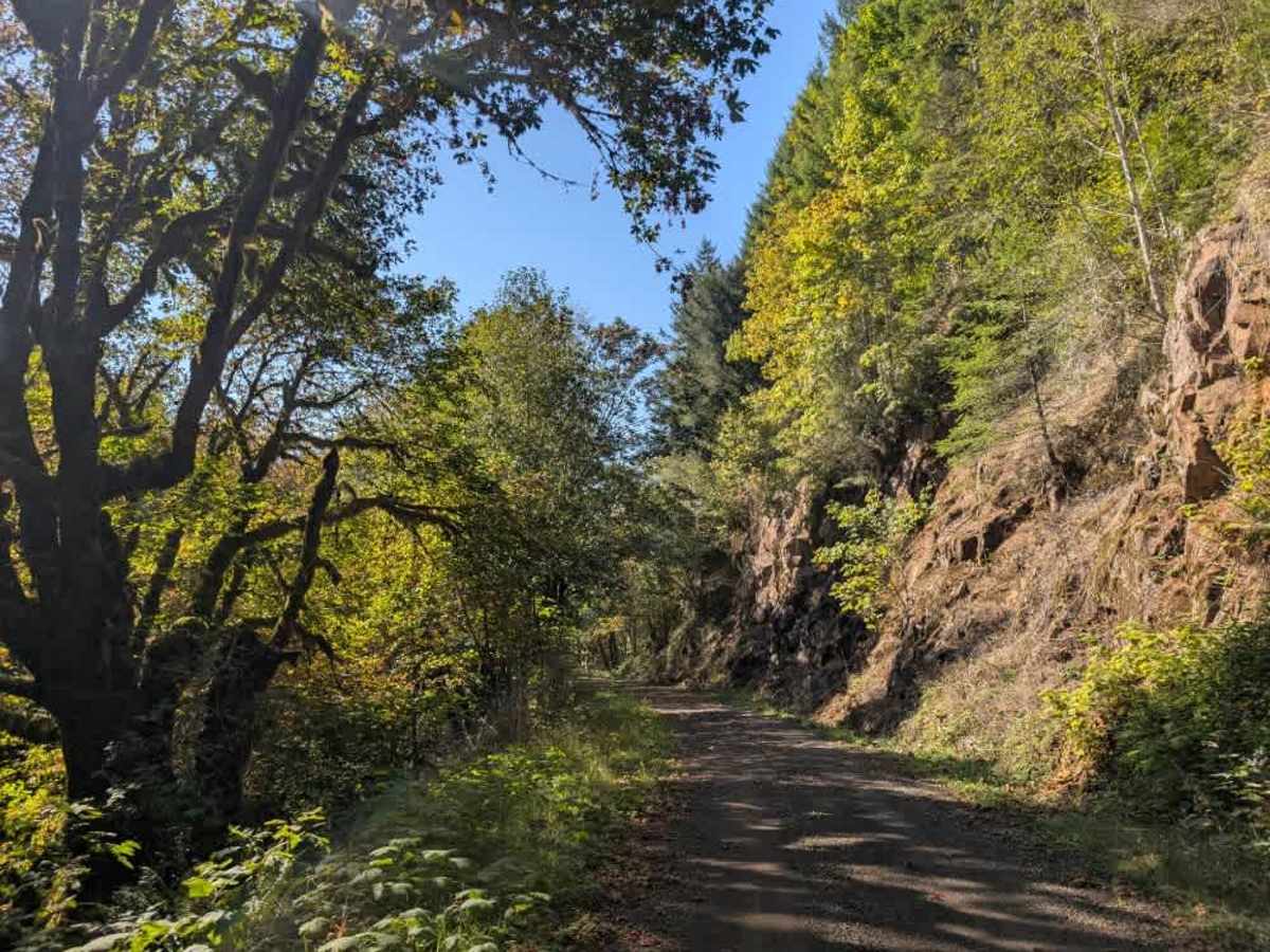
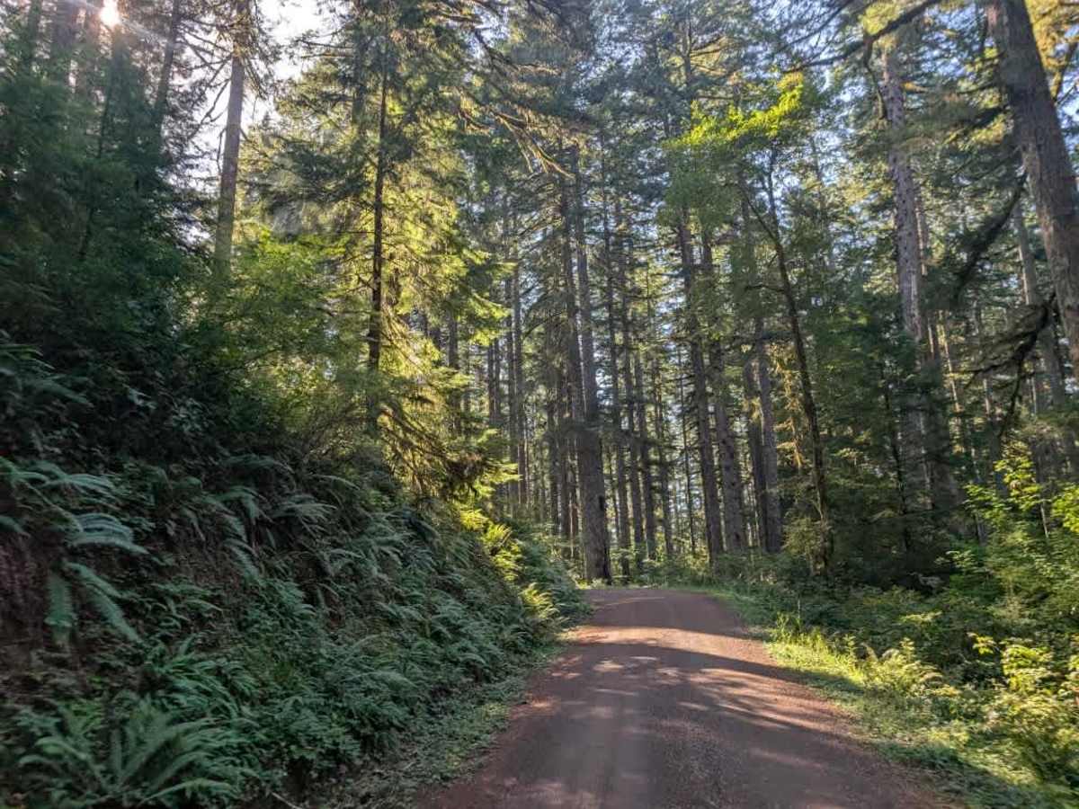
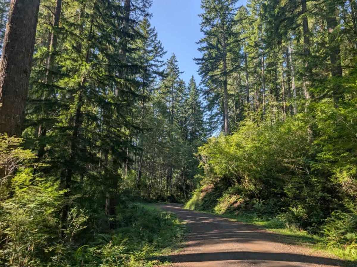
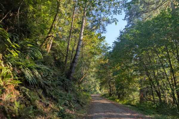
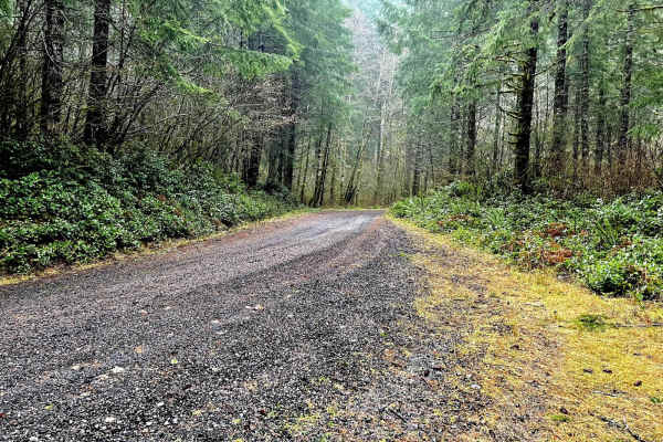
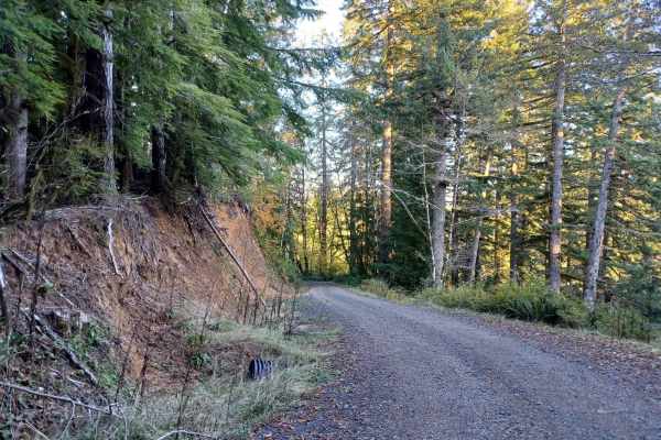
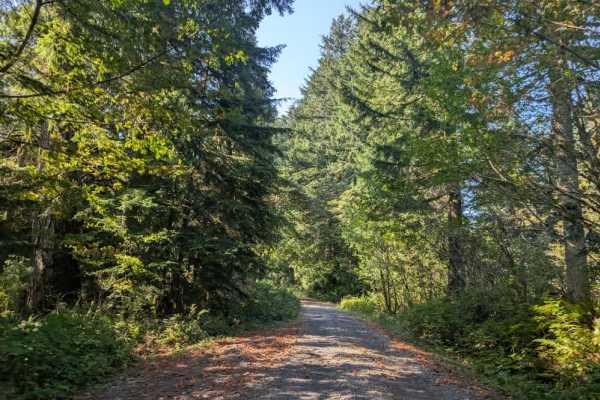
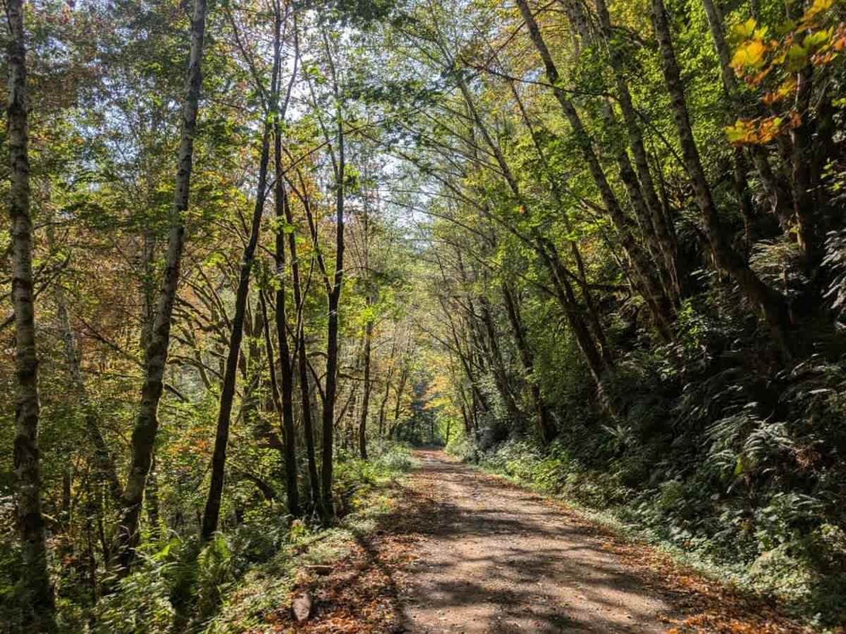
This very well-maintained trail provides access to the paved road and offers a beautiful drive through the surrounding area, with dispersed camping allowed along the way. The trail has a significant elevation change depending on the direction of travel. When approaching from the northeast, the route descends steadily, dropping approximately 1,500 feet over a three-mile stretch. From the southwest, the trail climbs steadily through the same section. Please watch for other vehicles, especially where the road narrows or visibility is limited. This trail is only accessible by Highway Legal Vehicles, so please do not take any other kind of vehicle on this road.

Photos of FS 56

Difficulty

The trail is generally easy, with a sustained climb or descent depending on the direction of travel.

Technical Rating

1

FS 56 Trail can be accessed by the following ride types:

  • High Clearance
  • Full Width

FS 56 Map

The onX Offroad Difference

onX Offroad combines trail photos, descriptions, difficulty ratings, width restrictions, seasonality, and more in a user-friendly interface. Available on all devices, with offline access and full compatibility with CarPlay and Android Auto. Discover what you're missing today!

Open Trail Map