Trail Overview
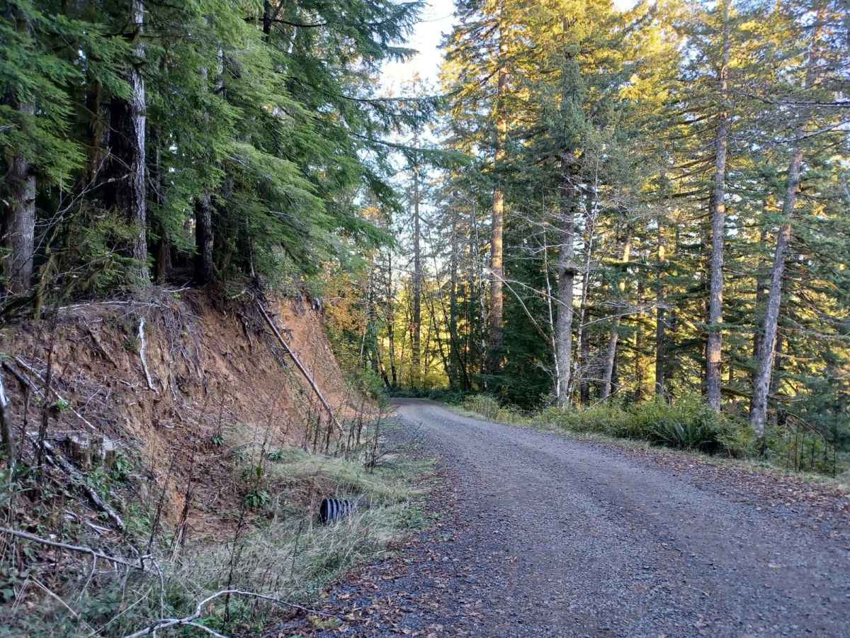
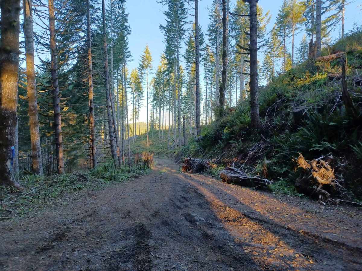
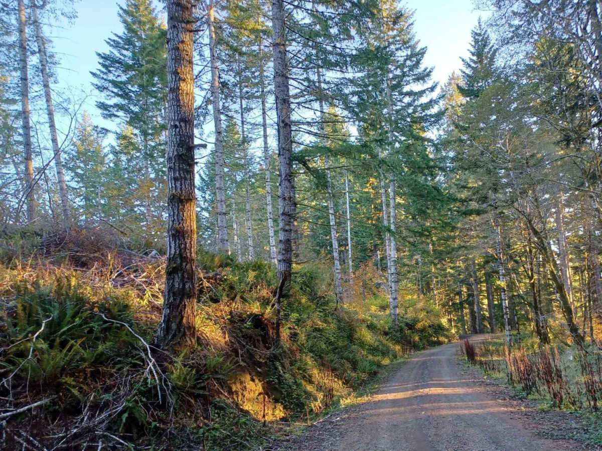
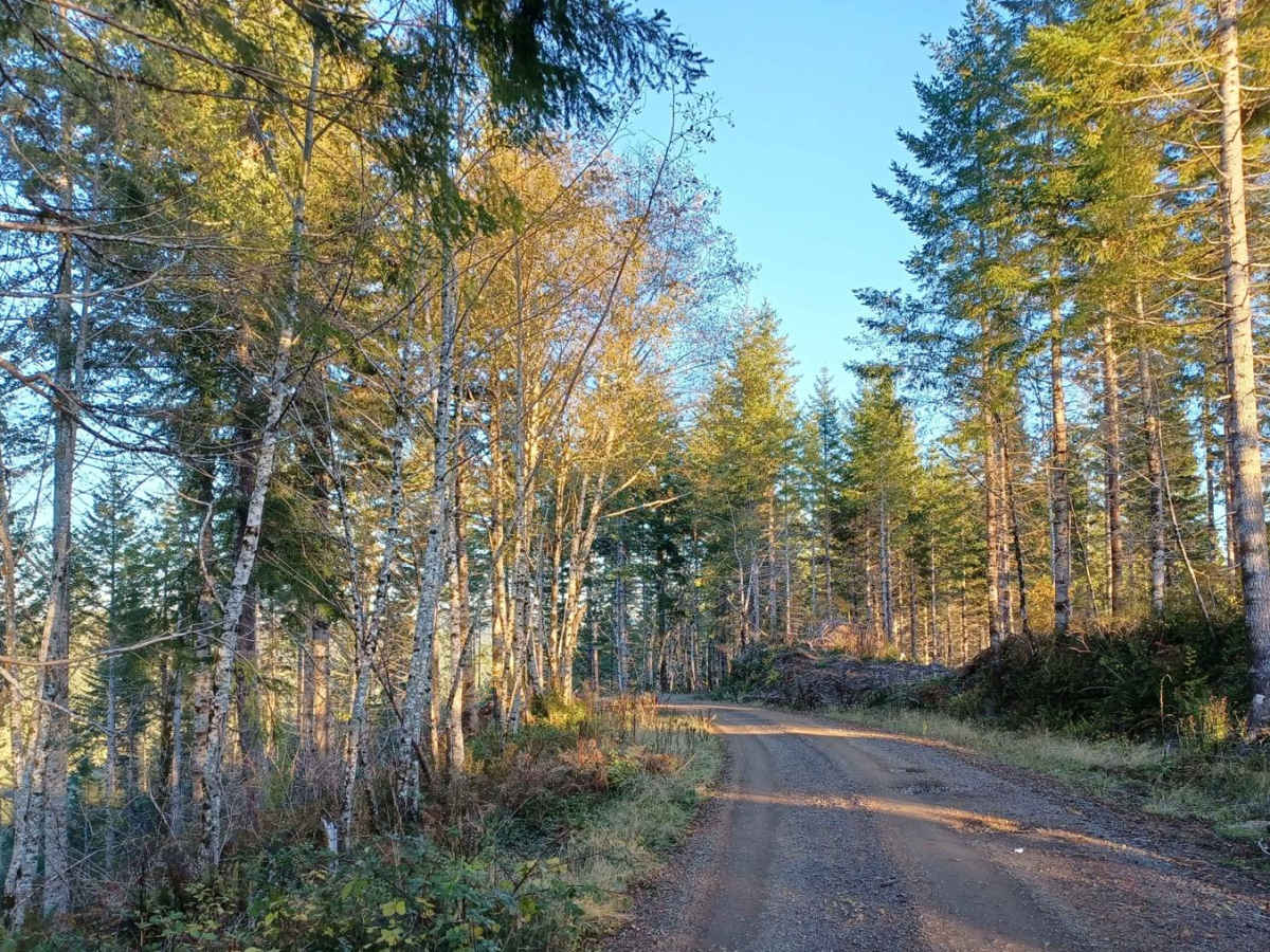
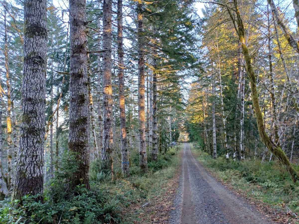
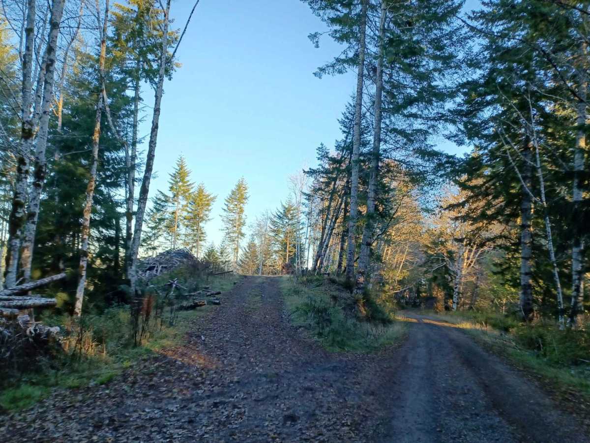
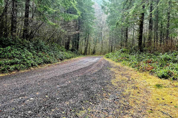
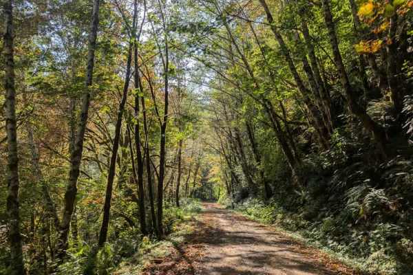
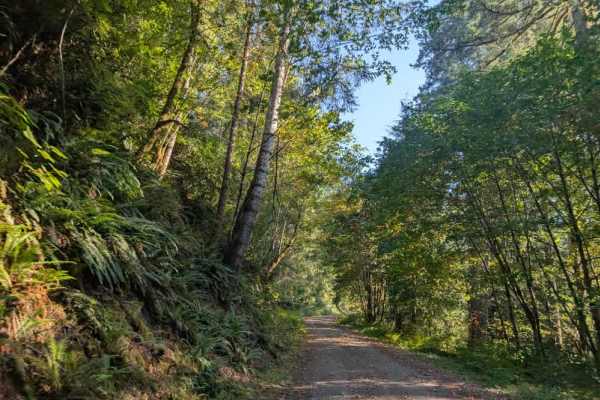
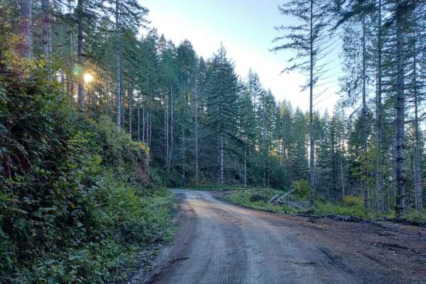
Forest Road 5800 offers an easy, scenic drive through the lush canopy of the Oregon Coast Range in the Siuslaw National Forest, making it perfect for beginners and drivers looking for a relaxing route. Stretching approximately 4.9 miles, this gravel road features gentle elevation changes as it winds through towering evergreens with only a few minor potholes to navigate. The route begins near Grizzly Ridge at its highest point of 1,414 feet and gradually descends to an elevation of 436 feet near Mann Creek, losing about 978 feet over its course. Along the way, a few small roadside pull-outs exist, though they are generally small and not well-suited for overnight camping.
Due to its technical rating of 1, the trail is highly accessible and requires no specialized equipment or four-wheel-drive, making it suitable for standard passenger vehicles, SUVs, and SxSs alike. However, travelers should note that the road is not winter-maintained, meaning seasonal snow and fallen debris can block passage during the colder months of the year. The route is best traveled from late spring through autumn when the driving conditions are ideal and the forest is fully accessible. There are no major technical obstacles or steep gradients on this road, providing a direct and scenic route through Lane County's coastal mountains.
Access Description
The road is not winter-maintained, meaning snow accumulation and seasonal debris can block access during the winter months. There are no permits or fees required to drive this forest road, but standard Siuslaw National Forest regulations apply.