FS 1030

Total Miles2.7
Technical Rating
1Easy
Best TimeSpring, Summer, Fall
Trail TypeFull-Width Road
Accessible By
Open Trail Map

Trail Overview

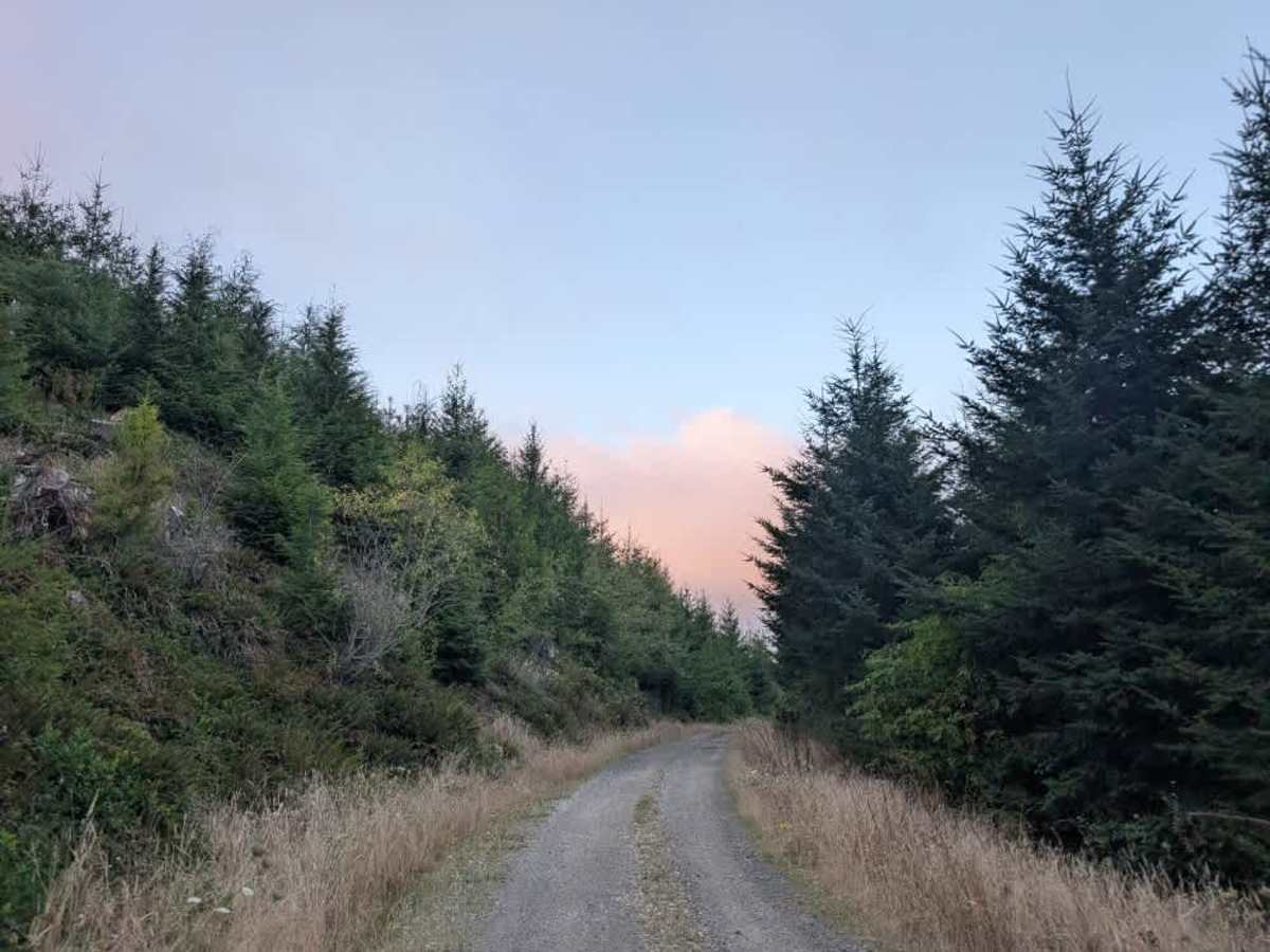
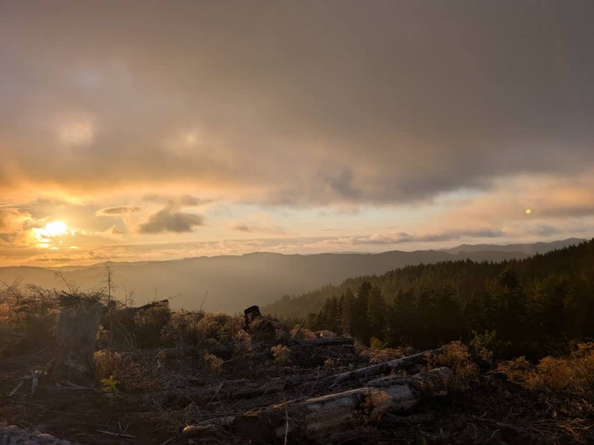
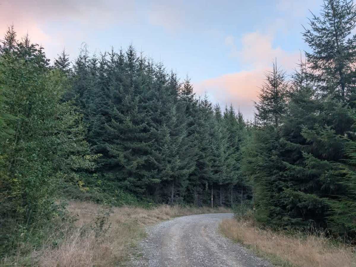
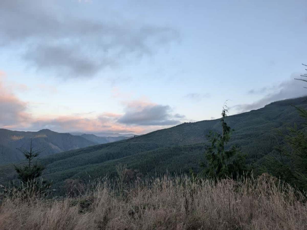
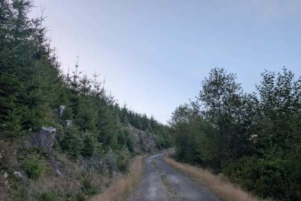
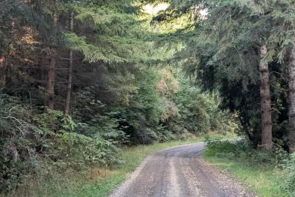
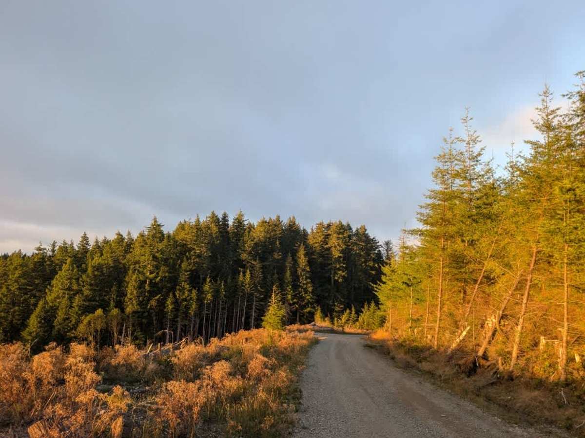
This well-maintained trail follows the simple rule that what goes up must come down, dropping approximately 1,000 feet in just one mile. The route is absolutely gorgeous, with stunning outlooks and viewpoints along the way. The descent includes numerous twists, curves, and blind corners, so make sure your brakes are in good condition and use engine braking to help control your speed. Occasional flatter sections offer a brief break from the descent before the road drops again, creating a series of downhill stretches throughout the route. The surface is well maintained overall, with some corrugation in places, but nothing particularly severe. The steep descent, winding road, and beautiful views make this a memorable drive, especially near sunset when the surrounding scenery can be especially striking. ATVs, UTVs, Side-by-Sides, and Dirt Bikes must always have a valid Oregon ATV Operating Permit sticker.

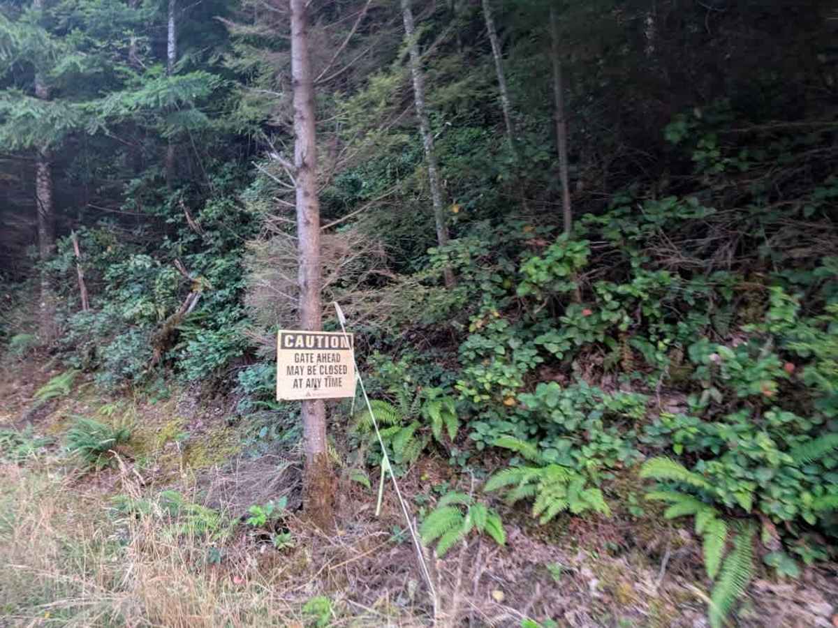
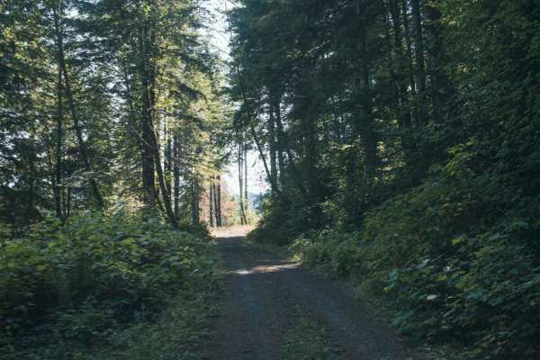
Photos of FS 1030

Difficulty

The steep, winding descent requires careful speed control and attention.

Technical Rating

1

FS 1030 Trail can be accessed by the following ride types:

  • High Clearance
  • Full Width

FS 1030 Map

The onX Offroad Difference

onX Offroad combines trail photos, descriptions, difficulty ratings, width restrictions, seasonality, and more in a user-friendly interface. Available on all devices, with offline access and full compatibility with CarPlay and Android Auto. Discover what you're missing today!

Open Trail Map