Trail Overview
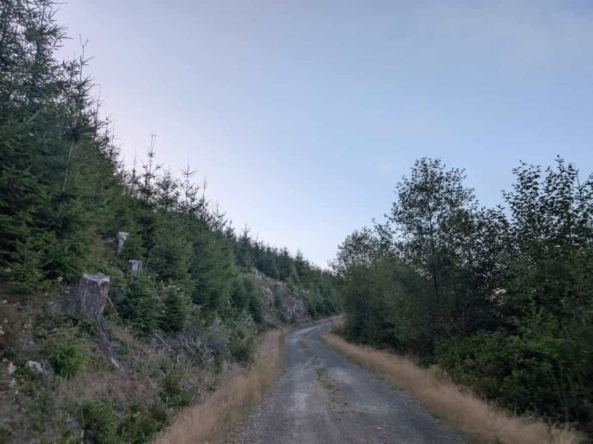
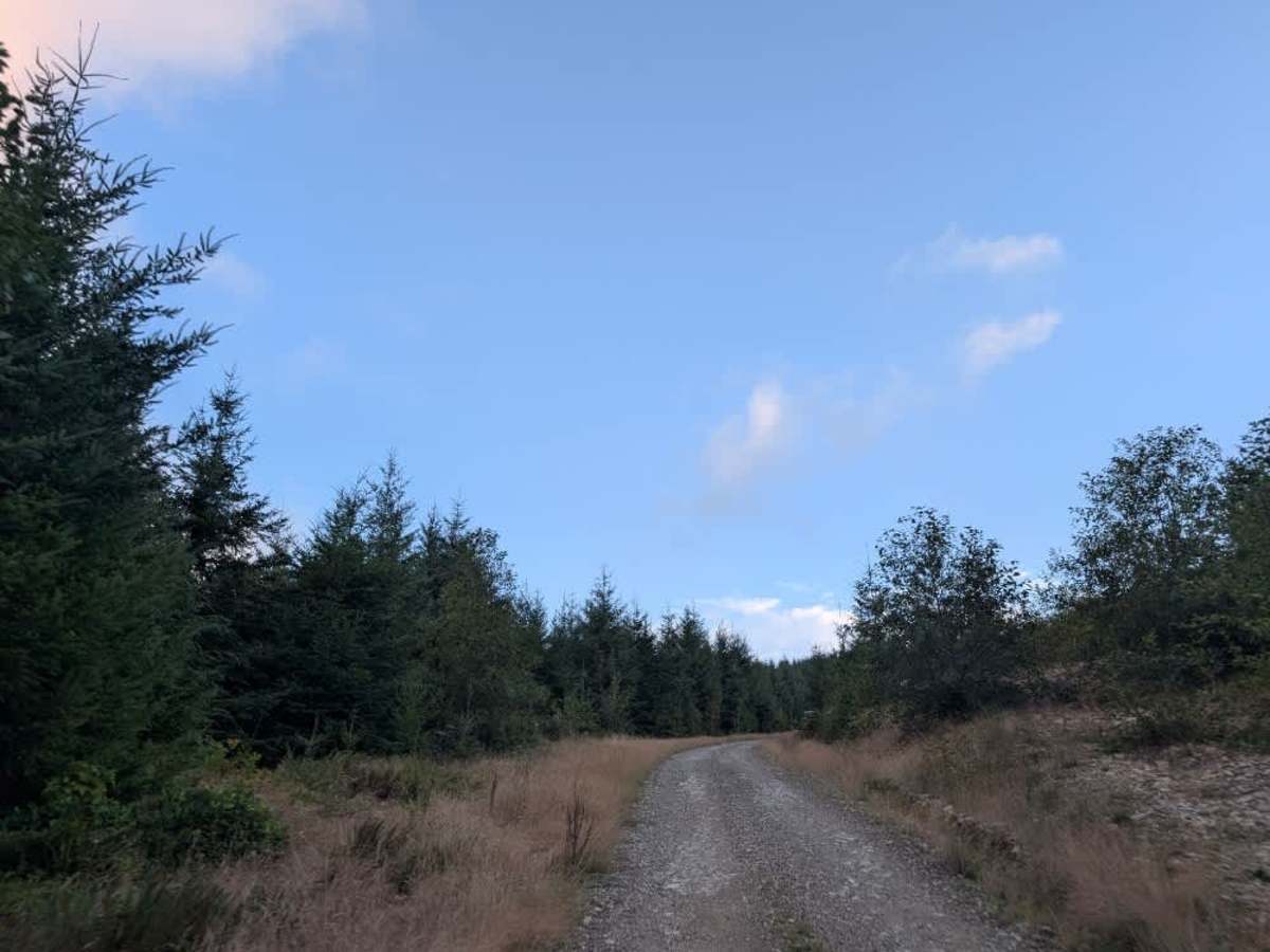
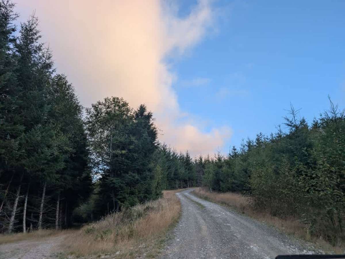
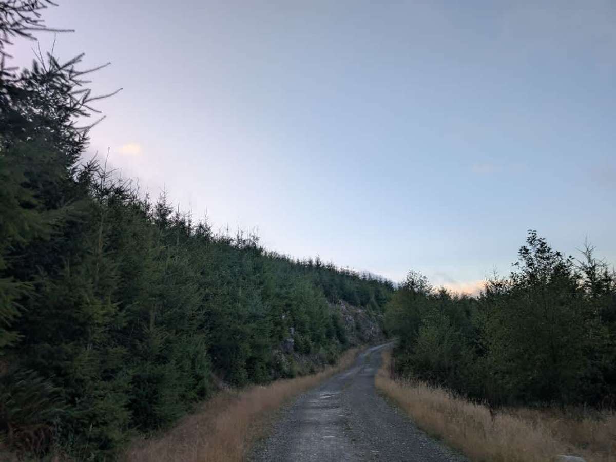
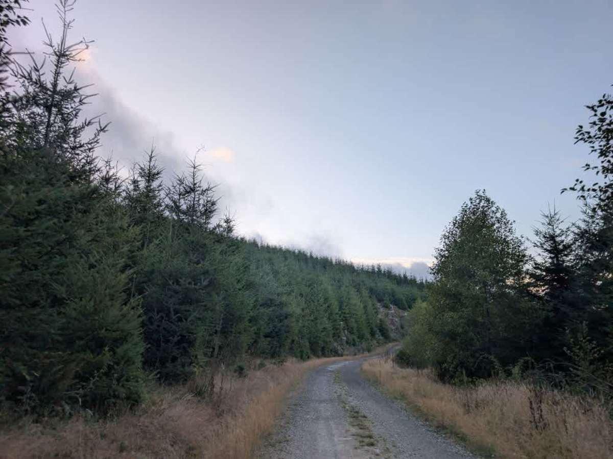
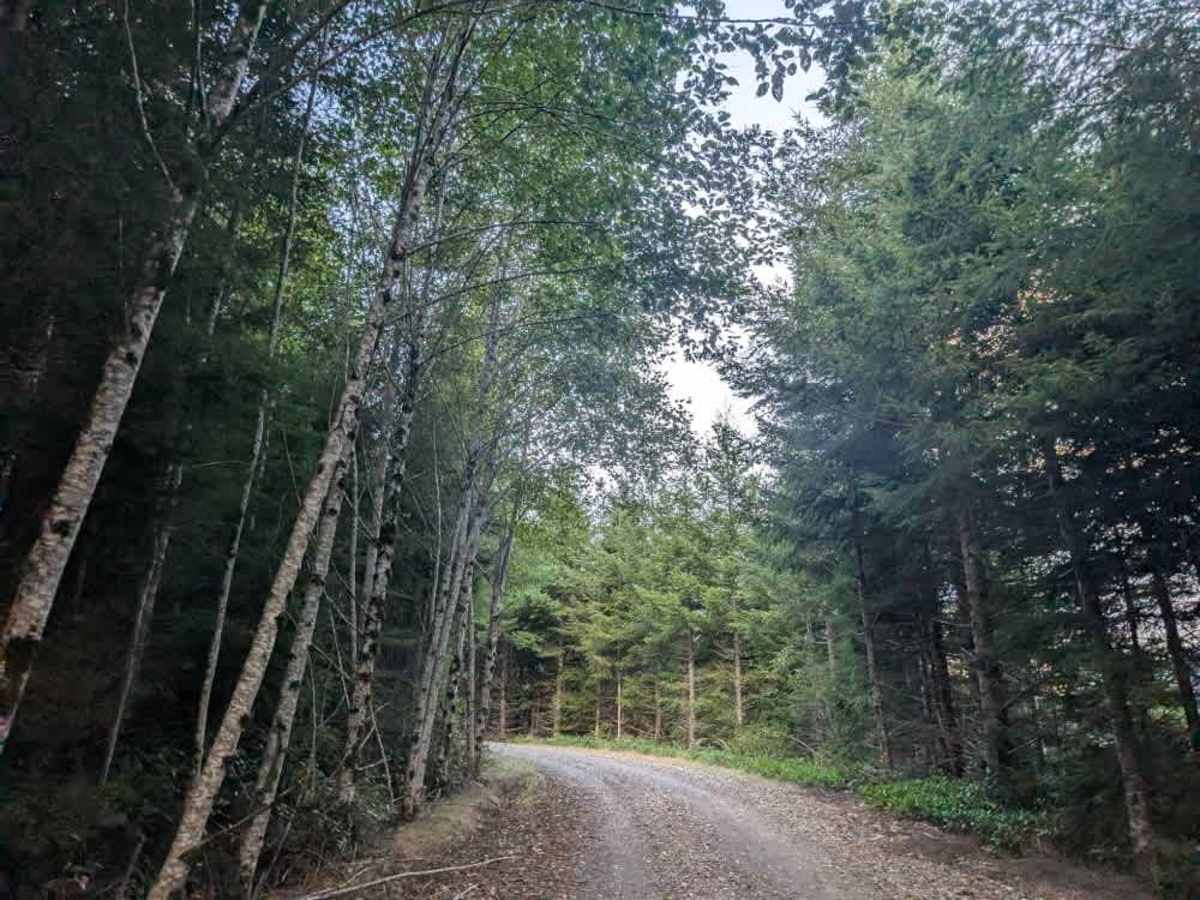
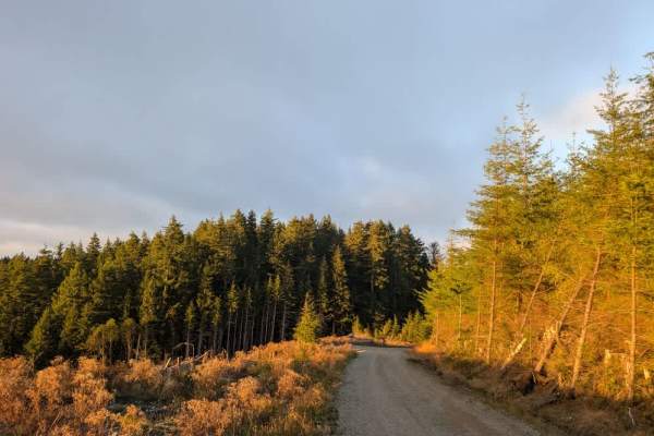
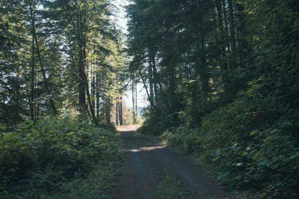
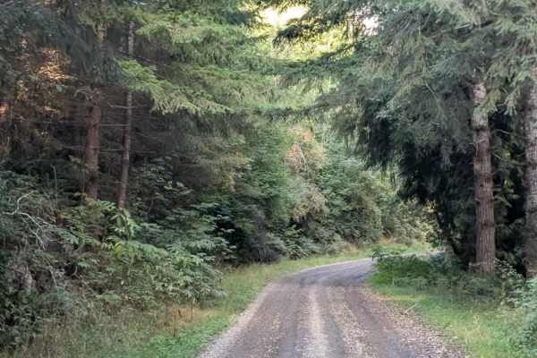
This well-maintained Forest Service and forest easement road also serves as a logging road, climbing steadily uphill for approximately two miles. The route gains elevation throughout the entire section, taking you high into the forest and, in places, seemingly up into the clouds. The surrounding scenery is absolutely gorgeous, with the road winding through the forest as it continues its steady climb. Logging activity occurs in the area, so watch for logging trucks and other work-related traffic, although we saw none during our drive. Travel is permitted only from one and a half hours before sunrise until one and a half hours after sunset. Several other trails branch off this main route, connecting to additional areas. The road itself is well maintained and straightforward to travel, but keep the sustained uphill climb in mind when planning your route. ATVs, UTVs, Side-by-Sides, and Dirt Bikes must always have a valid Oregon ATV Operating Permit sticker.