
Beginner Off-Road Trails
Near Riegelsville, Pennsylvania
Explore All Beginner Trails Near Riegelsville, Pennsylvania
Beginner Off-Road Trails Near Riegelsville, Pennsylvania
Discover the best beginner-friendly off-road trails near you. These easier, lower-rated trails are a great place to start — browse trail maps, check difficulty ratings, and find your next adventure.
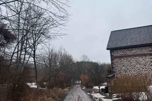
Ridge Valley Road
This is an easy hardpack dirt road located in the woods of Upper Bucks County. It is a municipal road, which means all vehicles must obey posted speed limits and be registered/insured. Open year-round, it does receive winter maintenance, but is usually plowed later than the surrounding paved roads. ...
Learn more about Ridge Valley Road
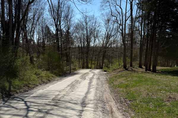
Tankhannen Road
This is an easy hardpack dirt road located in the woods of Upper Bucks County. It connects the paved Geigel Hill road to the Ridge Valley dirt road. It is a municipal road, which means all vehicles must obey posted speed limits and be registered/insured. Open year-round, it does receive winter maint...
Learn more about Tankhannen Road
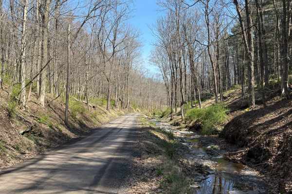
Permanent School Road
This is a generally easy hard-pack dirt road located in the woods of Upper Bucks County. This route begins off of the paved Geigel Hill road on either end, being named Permanent School Road on the eastern end and turning into Tettemer Road on the western end. If driven east to west, it climbs in ele...
Learn more about Permanent School Road
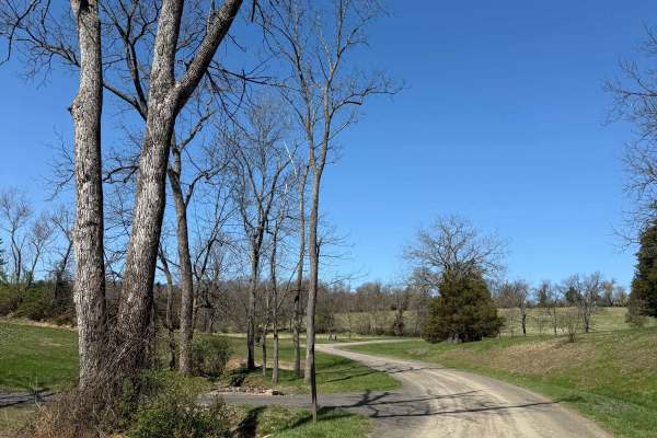
Tettemer Road
This is a mostly easy hard-pack dirt road located in the woods of Upper Bucks County. It is a municipal road, which means all vehicles must obey posted speed limits and be registered/insured. Open year-round, it does receive winter maintenance, but is usually plowed later than the surrounding paved ...
Learn more about Tettemer Road
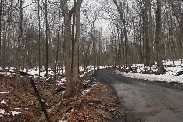
Mount Airy Road
This is a mostly easy hardpack dirt road located in the woods of Upper Bucks County. The Northeastern end of the trail is a steep climb out of the creek valley, which in any snow can be difficult, sometimes impassible. It is a municipal road, which means all vehicles must obey posted speed limits an...
Learn more about Mount Airy Road
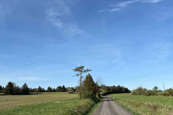
Randts Mill Road
This is an easy hard-pack dirt road located in Upper Bucks County. While not difficult, this trail and its scenery are incredibly aesthetic - go slow and enjoy the view. It is a municipal road, which means all vehicles must obey posted speed limits and be registered/insured. Open year-round, it does...
Learn more about Randts Mill Road
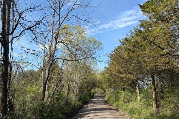
Oak Grove Road
While this is a mostly easy hardpack dirt road, it does feature a handful of very tight loose turns, steep inclines/declines, and is more narrow then most nearby dirt roads. This route is located in the woods of Upper Bucks County, close to 611, and is a public municipal road. At its northern end, ...
Learn more about Oak Grove Road
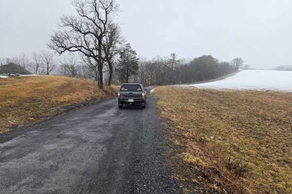
Game Preserve Road
Trail runs along the south border of state game lands #205. The north side of the trail is bordered by trees, and the south side is open fields on rolling hills. There is one overlook viewing the game lands about halfway down the trail. The trail surface is gravel with numerous potholes and a few mu...
Learn more about Game Preserve Road
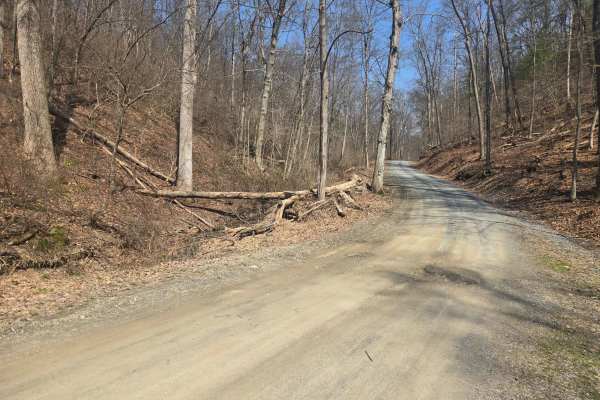
Spooner Road
The trail surface is gravel with numerous potholes and a few muddy ruts along the side. The trail turns to pavement for a few hundred feet at the east end. There are state game lands on either side of the road, with a large parking lot halfway down the road to access the state game lands. A nice b...
Learn more about Spooner Road
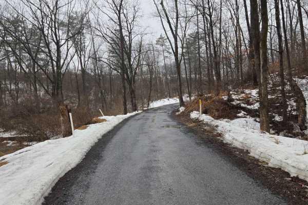
Warden Road
Warden Road is a gravel road that is relatively well-maintained but has numerous potholes by the end of winter & after rain. There are several public gun ranges accessible by this road, and it borders state game lands. The gun ranges are clearly marked on the side where they meet the road. The west ...
Learn more about Warden Road
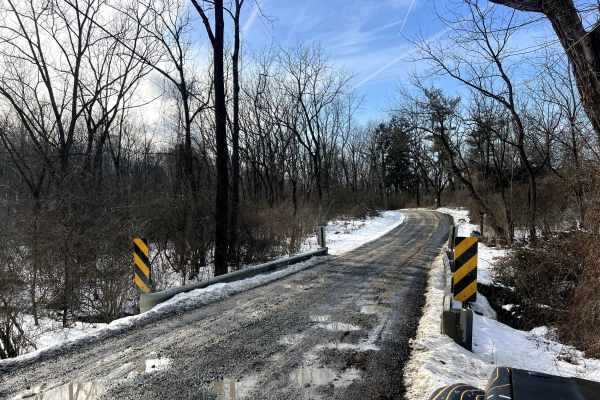
Possum Hollow
Quite possibly the only gravel road you'll find in a wide area! A fun one to check out any time of year, and you can count on it not being well maintained in winter. There are multiple old ruins to view (they are private property, please keep out) along the road, and a beautiful stream crosses under...
Learn more about Possum Hollow
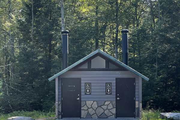
Boulder Field Road
Boulder Field Road is located within Hickory Run State Park and leads you directly to the Boulder Field. The trail consists of a gravel road with potholes throughout. After rainy weather, the trail can be washed out with minor washboard roads. It can fit two vehicles and loops back to Boulder Field ...
Learn more about Boulder Field Road
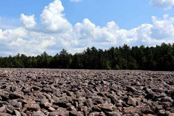
Boulder Field Run
Boulder Field Run provides a loop run located off 534 in Hickory Run State Park and ends near the state park picnic area. This route is one way but watch for State Park vehicles in addition to animals on the trail. There is a wooden bridge crossing and tunnel (underneath the PA Turnpike), the rest i...
Learn more about Boulder Field Run
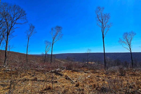
Slusser Rd
Slusser Road winds through the rugged, lesser-traveled Port Clinton Tract of Weiser State Forest, offering a peaceful gravel route surrounded by dense forest. This area is a gateway to several hiking trails that explore the rocky ridges and hardwood stands of the region, making it a favorite for hik...
Learn more about Slusser Rd
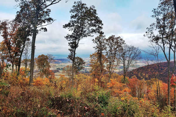
Oak Road
Oak Road winds through the rugged Port Clinton Tract of Weiser State Forest, providing access to top spots like the Port Clinton Fire Tower, the popular hiking destination of the Pinnacle Trail, and several other rewarding hiking adventures. Designated roadside campsites are available along the trai...
Learn more about Oak Road
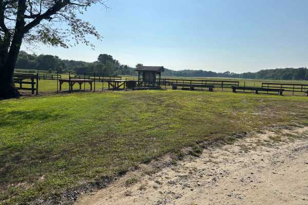
UTT Connector Trail
The route starts off on Eldridge Road, runs the side of Assunpink Lake, and the trail is mostly dirt and gravel with some sand, mostly flat, with nothing challenging. There are plenty of access areas to the lake, end of the trail, it loops back on itself, and exits on Hightstown road.
Learn more about UTT Connector Trail
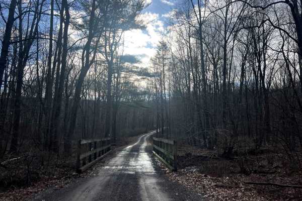
Bear Creek Road
This road exists to provide access to State Game Lands 110 and the Bartram Trail. It is a beautiful drive down a rugged gravel road through the forest and across a mountain stream to a very remote area of Schuylkill County. There is a large parking lot at the end of the road. Don't be scared by the ...
Learn more about Bear Creek Road
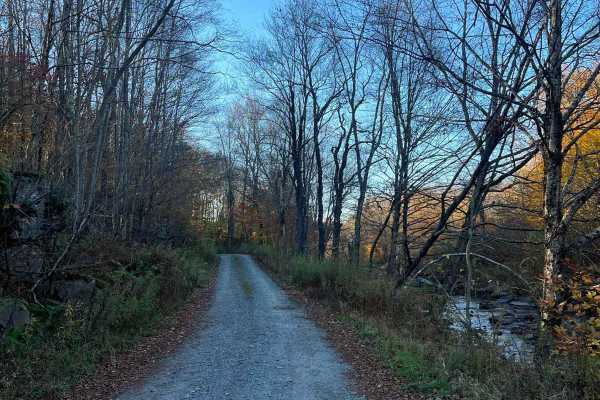
Plank Road
Easy dirt/gravel trail that travels along the headwaters of the Lehigh River through Game Lands. The trail is slightly graded but has multiple deep potholes and puddles. A few narrow sections will require backing up if you meet another vehicle. Multiple. The trail will not be cleared after snow in W...
Learn more about Plank Road
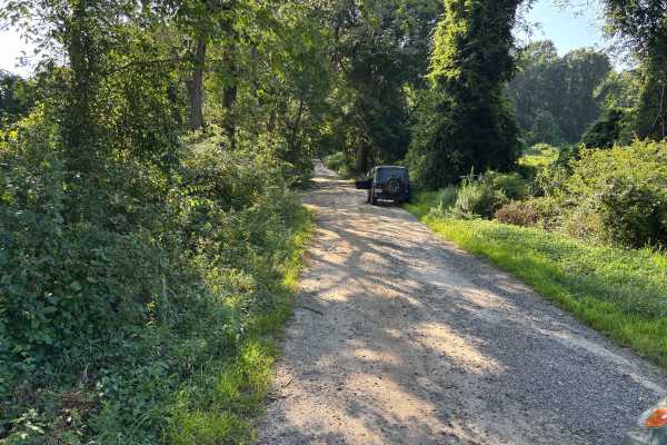
Mitchell - Roosevelt Road
Gravel road, nothing to changeling, there are some slight elevation changes. There are some spots that are washed out with erosion off the sides of the trails, which may cause issues with heavy rain (potentially). Very scenic access road that would be great for a fall drive, this is also an access...
Learn more about Mitchell - Roosevelt Road
Loggers Trail
Long winding easy seasonal forestry road on the Delaware State Forest. Trail can be accessed from within Promised Land State Park or just outside the town of Newfoundland. Trail opens just before state archery season and, closes early winter. downed branches, tight areas and mud can be encountered. ...
Learn more about Loggers Trail
Beginner ATV trails near Riegelsville, Pennsylvania
Explore ATV-friendly trails near you. These trails are accessible for vehicles up to 50 inches wide, perfect for ATVs and smaller off-road machines.
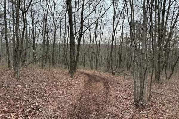
Burma 24
Burma 24 is a twisty wooded trail with some rocks mixed in. There are some slight elevation changes as you weave through this trail. Watch for small stumps as this is a semi-new trail and the obstacles are just now starting to appear. Longer machines may scrape in certain spots.
Learn more about Burma 24
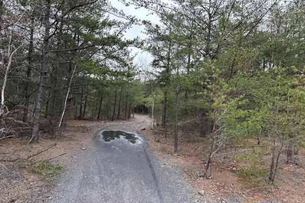
Burma 45
This is an easier trail with some tight trees. The end of this trail is a dead-end loop but there are a few trails that branch off from the sides. This is the far eastern side of the Burma trail network and there are only a few trails that lead back. Don't get lost or go off-property.
Learn more about Burma 45
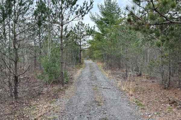
Burma 52
This is a wooded trail with multiple options for working through tight trees. The trail is fairly easy except for a few small rocks, trail debris, and branches. If you are worried about paint or plastic getting scratched, use caution on this trail. Burma 52 leads to the eastern side as a nice bypass...
Learn more about Burma 52
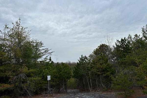
Burma 66
Burma 66 is a short trail with a rocky climb. It is rated as a green trail and it is the harder side of that. It is a technical trail with plenty of obstacles but still can be traversed with a stock vehicle or a novice rider.
Learn more about Burma 66
Beginner UTV/side-by-side trails near Riegelsville, Pennsylvania
Find UTV and side-by-side trails near you. These trails accommodate vehicles up to 60 inches wide, ideal for UTVs, side-by-sides, and wider off-road rigs.
Burma 24
Burma 24 is a twisty wooded trail with some rocks mixed in. There are some slight elevation changes as you weave through this trail. Watch for small stumps as this is a semi-new trail and the obstacles are just now starting to appear. Longer machines may scrape in certain spots.
Learn more about Burma 24
Burma 45
This is an easier trail with some tight trees. The end of this trail is a dead-end loop but there are a few trails that branch off from the sides. This is the far eastern side of the Burma trail network and there are only a few trails that lead back. Don't get lost or go off-property.
Learn more about Burma 45
Burma 52
This is a wooded trail with multiple options for working through tight trees. The trail is fairly easy except for a few small rocks, trail debris, and branches. If you are worried about paint or plastic getting scratched, use caution on this trail. Burma 52 leads to the eastern side as a nice bypass...
Learn more about Burma 52
Burma 66
Burma 66 is a short trail with a rocky climb. It is rated as a green trail and it is the harder side of that. It is a technical trail with plenty of obstacles but still can be traversed with a stock vehicle or a novice rider.
Learn more about Burma 66
The onX Offroad Difference
onX Offroad combines trail photos, descriptions, difficulty ratings, width restrictions, seasonality, and more in a user-friendly interface. Available on all devices, with offline access and full compatibility with CarPlay and Android Auto. Discover what you're missing today!
Open Trail Map