Trail Overview
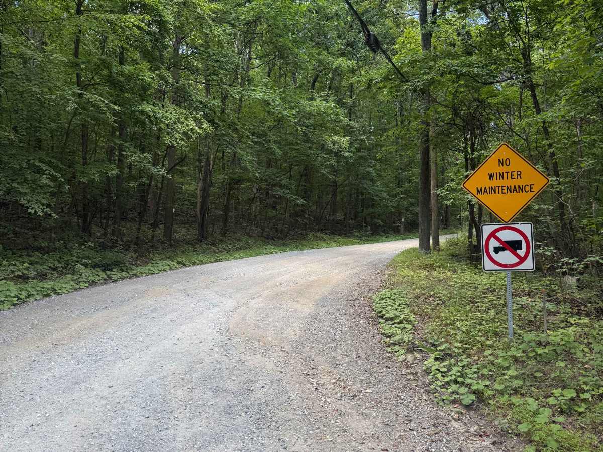
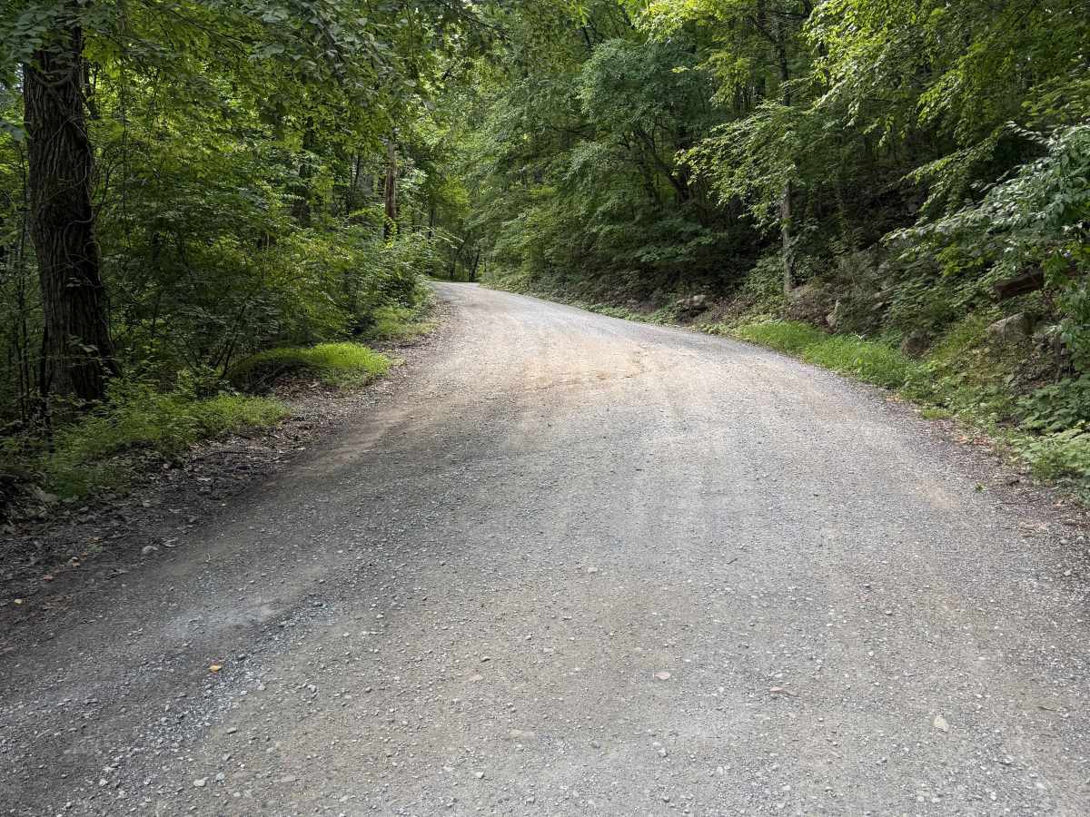
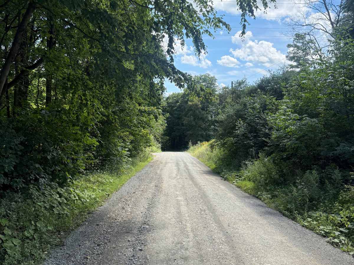
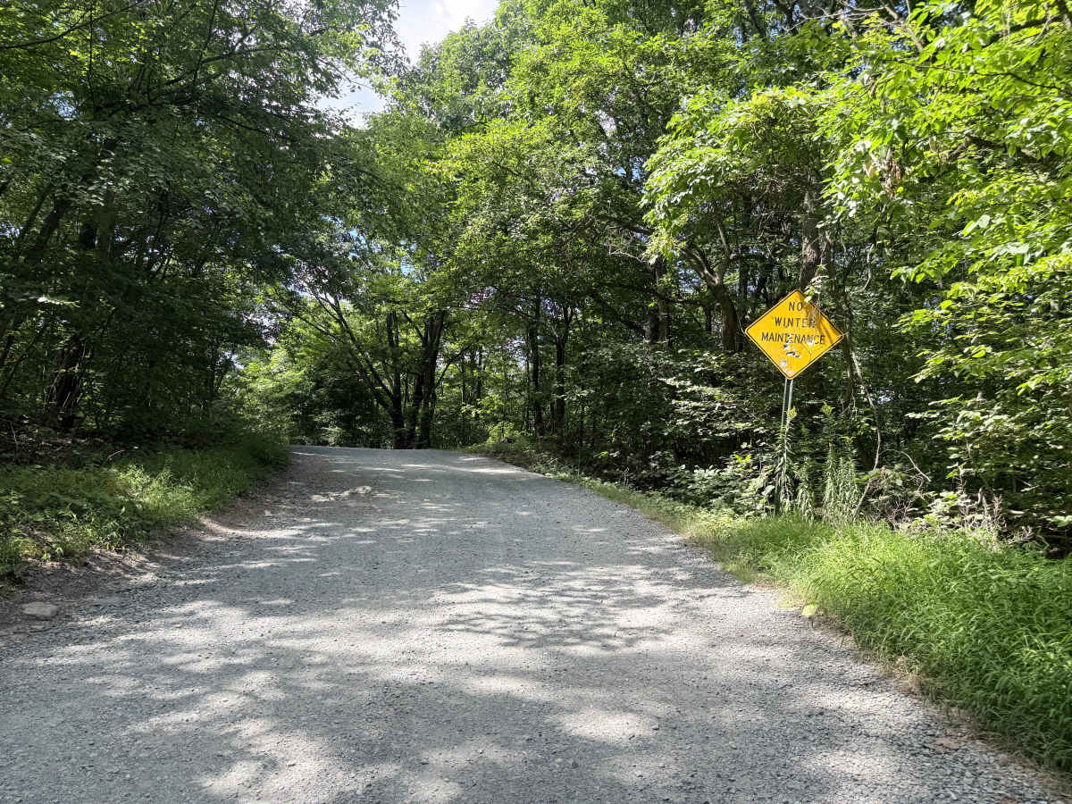
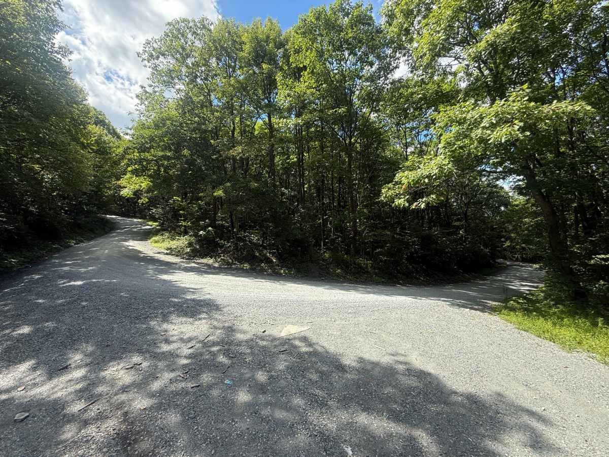
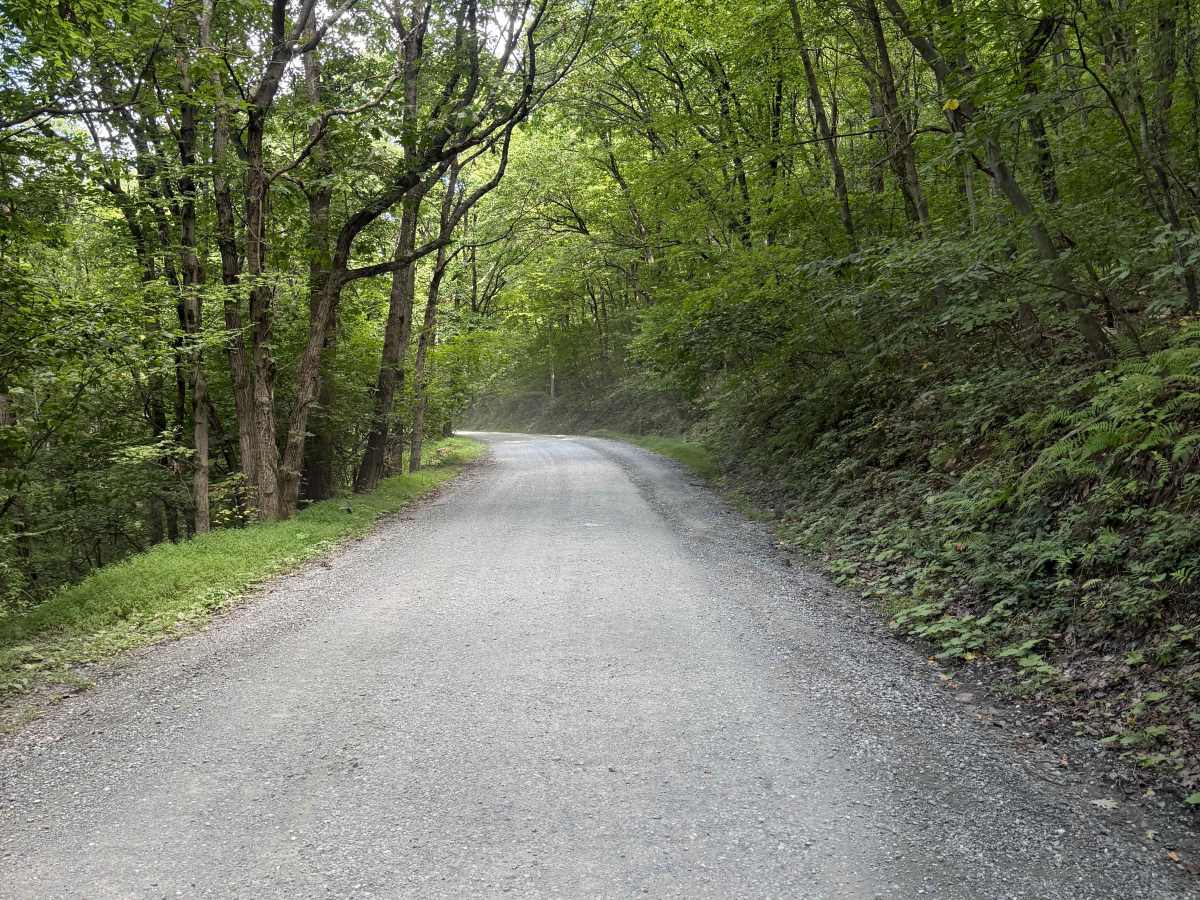
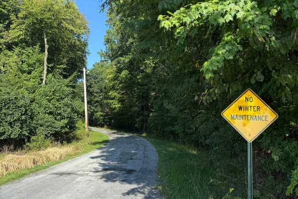
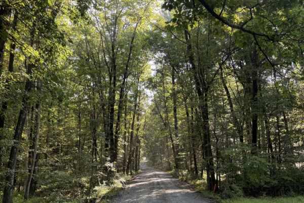
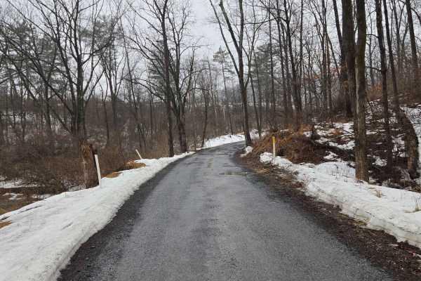
Ashfield Road is a beautiful unpaved drive as it climbs up and over the Kittatinny Ridge. The road is wide and hard-packed dirt/gravel, but does periodically develop small ruts from water runoff. It has a handful of somewhat steep switchbacks and receives no winter maintenance. It is a municipal road, which means all vehicles must obey posted speed limits and be registered/insured. This route is surrounded by private property, state game lands, and the Appalachian Trail itself. There is parking at the top for hiking access to the AT and a couple of parking areas for access to the game lands along the route. Be mindful of posted signs and private property, and do not venture off the road with your vehicle at any point.
Difficulty
Non-technical and easy in most vehicles. It can be traversed in 2wd under normal conditions; heavy rains can generate small ruts, but the road is wide, and they generally can be navigated around. This road receives no winter maintenance, so with even very little snow it can become dangerous and impassible.