Twin Lear Road

Total Miles0.7
Technical Rating
2Easy
Best TimeSpring, Summer, Fall, Winter
Trail TypeFull-Width Road
Accessible By
Open Trail Map

Trail Overview

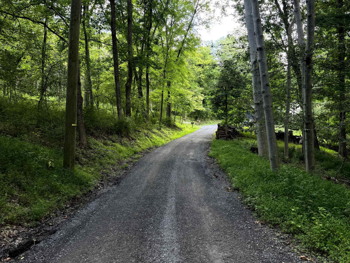
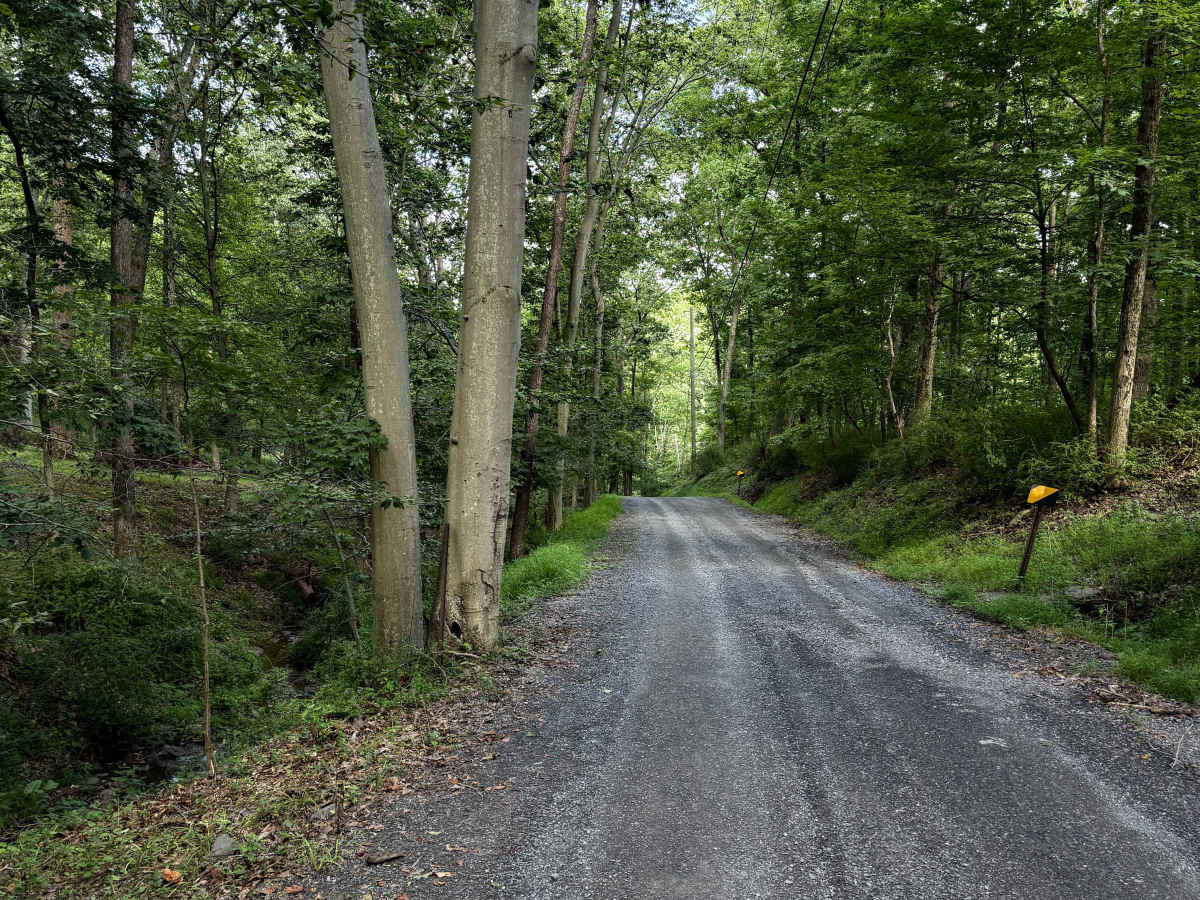
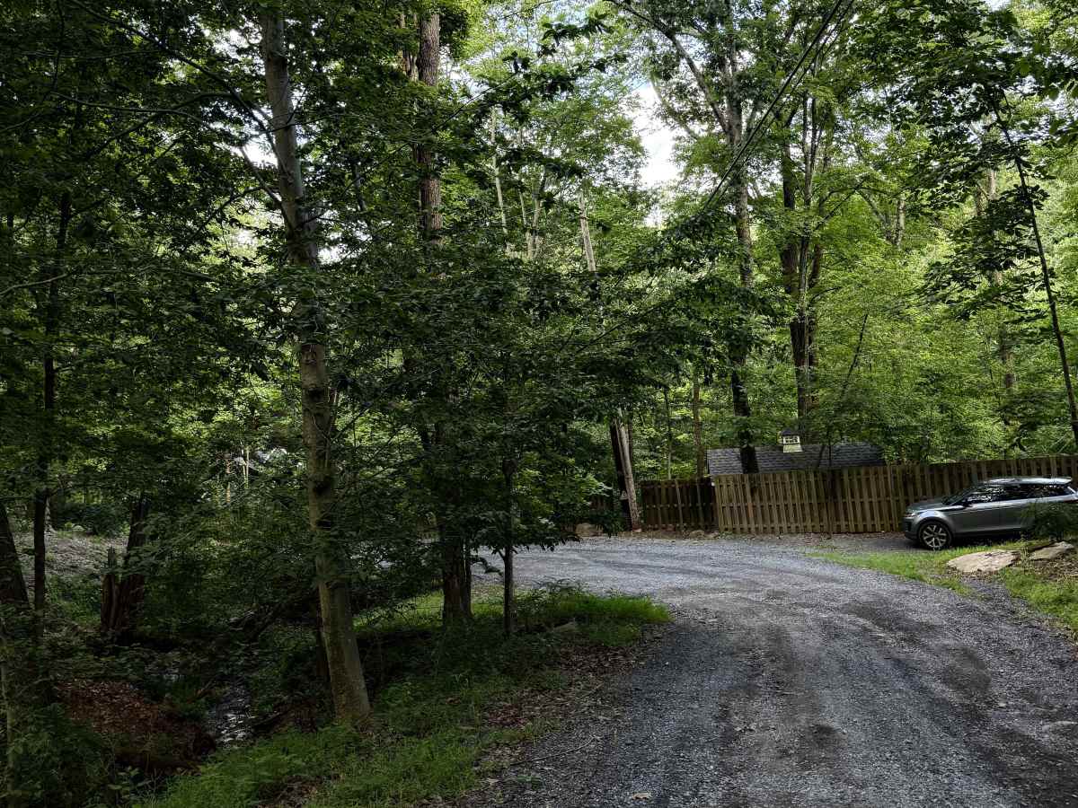
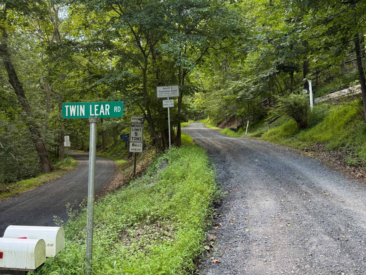
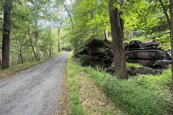
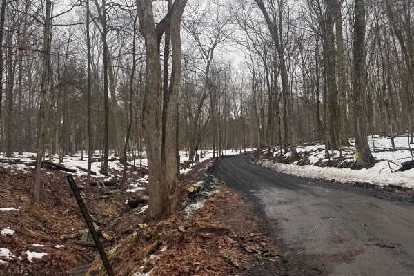
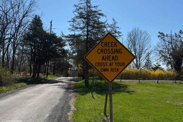
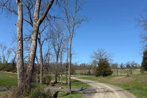
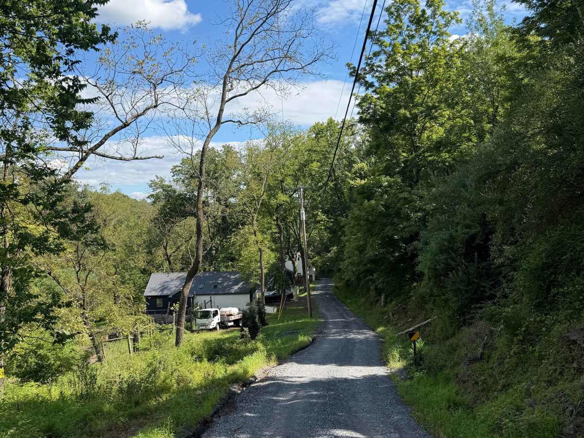
This is a narrow but generally easy hard-pack dirt road that drops abruptly into the Delaware River Valley, meeting the Smithtown Creek right off of River Road. It is a municipal road, which means all vehicles must obey posted speed limits and be registered/insured. Open year-round, it does receive winter maintenance, but is usually plowed later than the surrounding paved roads. This route is surrounded by private property, so do not venture off the road.

Photos of Twin Lear Road

Difficulty

Non-technical and easy in most vehicles under normal conditions. Heavy rains can generate small ruts, but the dirt lies on top of hard rock. Due to its steepness and narrowness, it can become dangerous and sometimes impassable in the snow until it's plowed.

Technical Rating

2

Twin Lear Road Trail can be accessed by the following ride types:

  • Full Width

Twin Lear Road Map

The onX Offroad Difference

onX Offroad combines trail photos, descriptions, difficulty ratings, width restrictions, seasonality, and more in a user-friendly interface. Available on all devices, with offline access and full compatibility with CarPlay and Android Auto. Discover what you're missing today!

Open Trail Map