
Beginner Off-Road Trails
Near Mountain City, Georgia
Explore All Beginner Trails Near Mountain City, Georgia
Beginner Off-Road Trails Near Mountain City, Georgia
Discover the best beginner-friendly off-road trails near you. These easier, lower-rated trails are a great place to start — browse trail maps, check difficulty ratings, and find your next adventure.
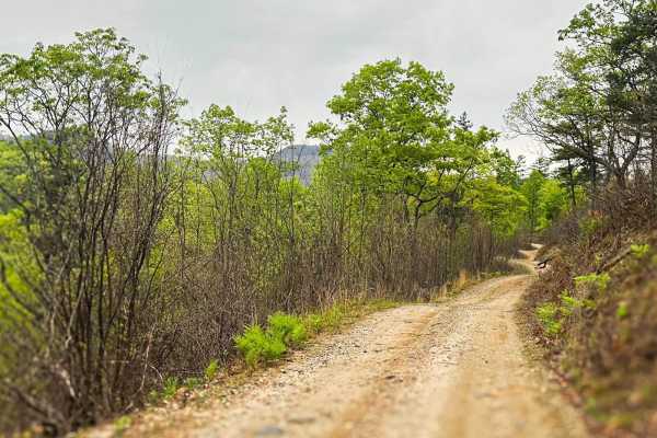
Walnut Fork
This 7+ mile Forrest Service Road connects to the top-rated Sarahs Creek and offers many opportunities for camping and some fishing along the way. Most of the road is well maintained and wide enough for two vehicles to pass, except for the last half mile on the western side, which is much more narro...
Learn more about Walnut Fork
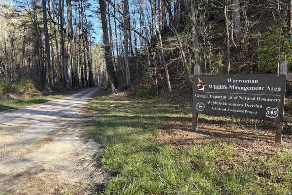
Finney Creek - FS 152
This trail has a couple of larger waterfalls down and to the side of the shelf road and climbs up pretty rapidly over the course. It is gravel with only a few washout ruts and washboarding on the way up and back down. There are multiple dispersed camping sites available, some large enough for multip...
Learn more about Finney Creek - FS 152
Dan Gap - FS 155E
Dan Gap - FS 155E winds its way up Dan Ridge and runs north along its crest. This 1/10 trail is mostly gravel end to end, with a few tight turns and the occasional large rock. A few pull-offs along the route make for great dispersed campsites, and as you run the ridge north, the terrain drops away o...
Learn more about Dan Gap - FS 155E
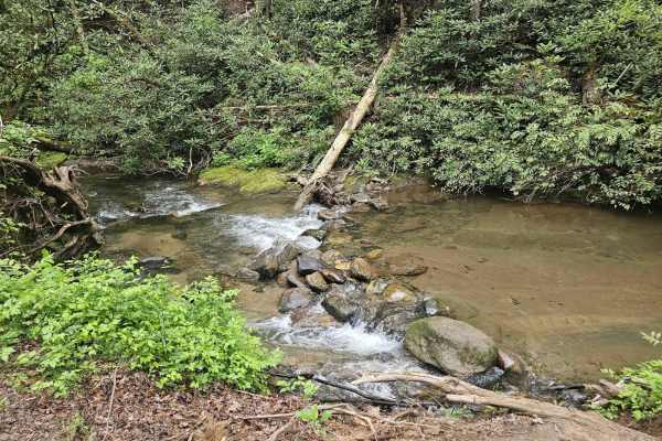
Tuckaluge Creek Road/153
This trail is an easy gravel ride that connects you to 155A. This trail can be completed in 2WD when dry, but it can get slick on the uphills after rain. There are 2 campsites along the trail. One of the campsites has a stream where can collect water or swim. There is more to this trail, but there i...
Learn more about Tuckaluge Creek Road/153

Sandy Ford
Sandy Ford is a short trail that holds an amazing surprise at the end. The road is regularly maintained; the biggest obstacle is a creek crossing that gets up to 18 inches deep but is passable by any truck or SUV. There are dispersed campsites along the route and if you're lucky to find it empty, th...
Learn more about Sandy Ford
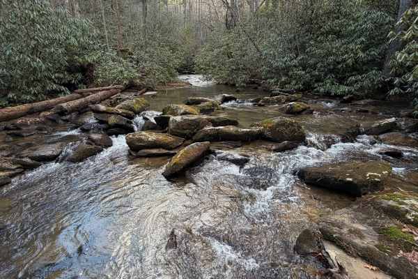
Timpson Creek - FS 162
Timpson Creek trail is a dirt & gravel road that runs beside, well... Timpson Creek, which is very large for a creek and has a couple of incredible dispersed campsites right beside it. There are a lot of really cool views of the creek in various spots along the way. The trail itself is a shelf road ...
Learn more about Timpson Creek - FS 162
Lick Log Creek
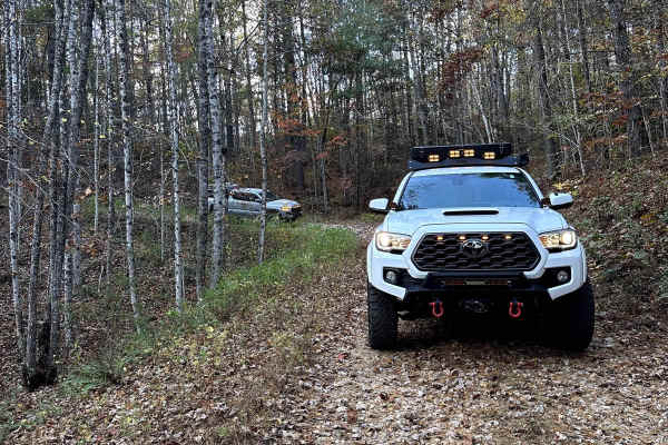
This less traveled route in Clayton, GA, offers a relaxed ride on gravel roads that will become washboard after rain. This is the perfect spot to get away from some of the more popular trails in the area. Along the route, there are a few opportunities for camping and a hiking trail at the end that l...
Learn more about Lick Log Creek
Pool Creek Road
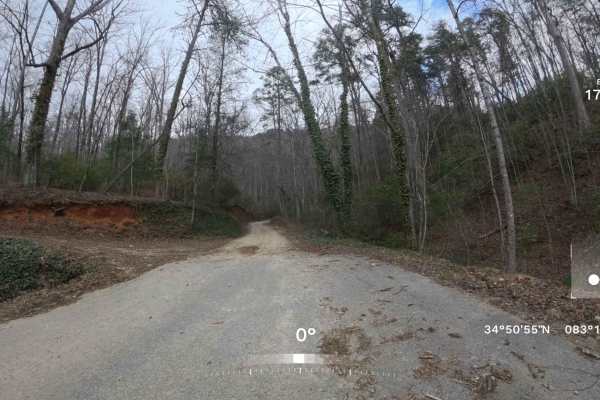
This trail meanders through the Chattooga River Ranger District, providing visitors with an immersive experience of the region’s natural landscape. The road surface consists mainly of gravel with areas of dirt and mud, including occasional water puddles, mud holes, and minor washouts, which may vary...
Learn more about Pool Creek Road
FS 977
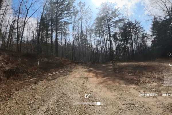
This is an out-and-back trail that follows a relatively easy, mostly single-lane gravel and dirt road through scenic sections of the Chattahoochee National Forest. Along the route, you may encounter a few small washouts and water puddles typical of Forest Service roads. However, there are no major o...
Learn more about FS 977
Stonewall Creek - FS 20
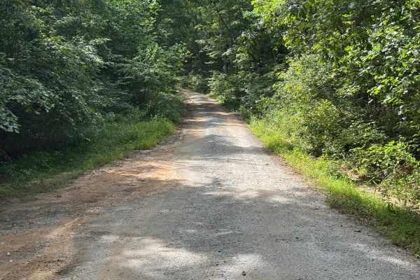
Stonewall Creek - FS 20 is a 1.3-mile out-and-back route that follows a generously sized single-lane gravel road with places to pass. The road is lightly maintained and travels through heavily forested terrain, making it an easy drive under normal conditions. For much of its length, the route parall...
Learn more about Stonewall Creek - FS 20
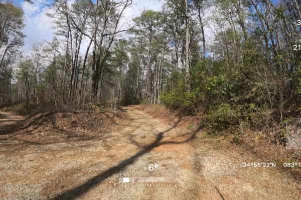
FS 156A
This is an out-and-back side trail from the famous FS 156-Sarahs Creek, that follows a relatively easy, mostly single-lane gravel and dirt road through scenic sections of the Warwomen Wildlife Management Area. Along the route, you may encounter a few small washouts and a few moderate mud/water puddl...
Learn more about FS 156A
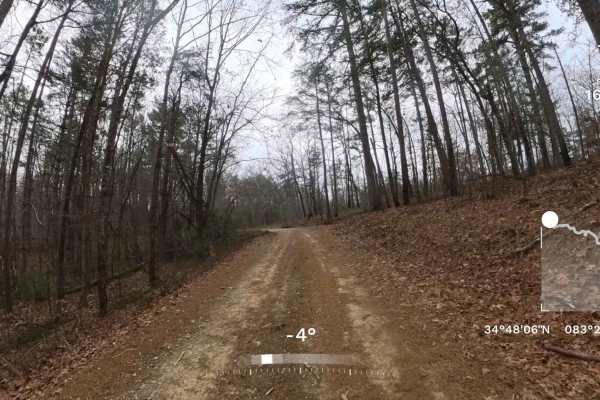
Wolf Creek Church Road - FS 515
This out-and-back trail follows an easy, mostly single-lane gravel road through the scenic Chattahoochee National Forest. The first half is well-maintained and offers a smooth, relaxing drive. About halfway in, you’ll pass a church and cemetery on private property—please stay on the trail and be res...
Learn more about Wolf Creek Church Road - FS 515
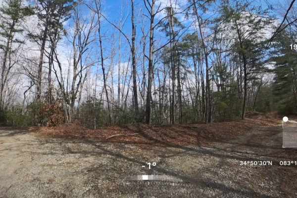
FS 977A
This out-and-back trail follows an easy, single-lane dirt road that winds through scenic sections of the Chattahoochee National Forest. The route is slightly narrow in places, so light pinstriping from overgrown vegetation is possible. Along the way, you’ll encounter a few minor washouts and several...
Learn more about FS 977A
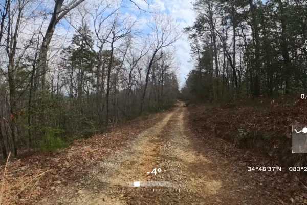
FS 518
This out-and-back, single-lane trail features several pull-off areas where oncoming vehicles can safely pass, although traffic is typically light and encounters are infrequent. FS 518 includes a mix of gravel and dirt surfaces, with some uneven sections, shallow ruts, and minor washouts that can mak...
Learn more about FS 518
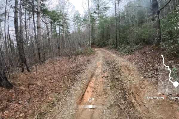
Deaden Timber Road - FS 825
This is an out-and-back trail that begins as a relatively easy, double-lane gravel road before narrowing to a single-lane gravel and dirt road through scenic sections of the Chattahoochee National Forest. Along the route, you may encounter a few small washouts and occasional water or mud puddles typ...
Learn more about Deaden Timber Road - FS 825
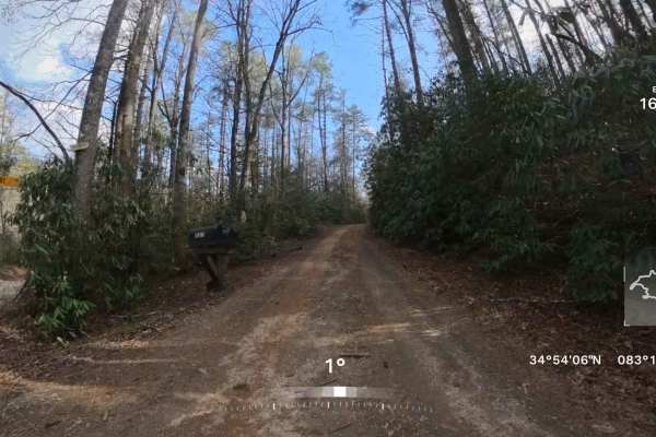
FR 159 - Derby Shire Lane
This is an out-and-back side trail from the famous Earls Ford Road, that follows a moderate, mostly single-lane gravel and dirt road through scenic sections of the Chattooga River Ranger District. At the fork towards the beginning of the trail, be sure to stay to the right so you don't trespass onto...
Learn more about FR 159 - Derby Shire Lane
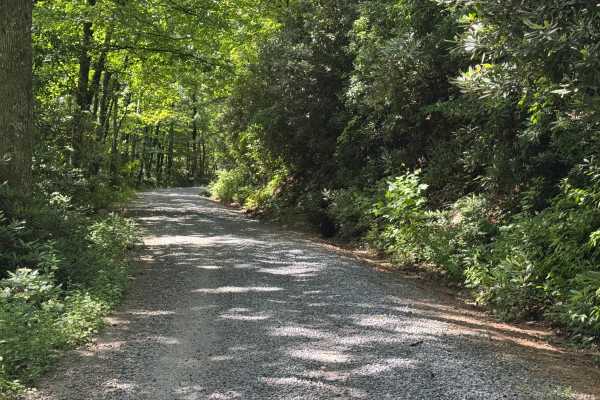
Three Forks - FS 75
Three Forks (FS 75) is a 1-mile out-and-back route that follows a lightly maintained packed dirt and gravel surface through heavily forested terrain. The road is a single lane with places to pass and carries an easy difficulty rating, making it a straightforward drive for most vehicles. A quiet fore...
Learn more about Three Forks - FS 75
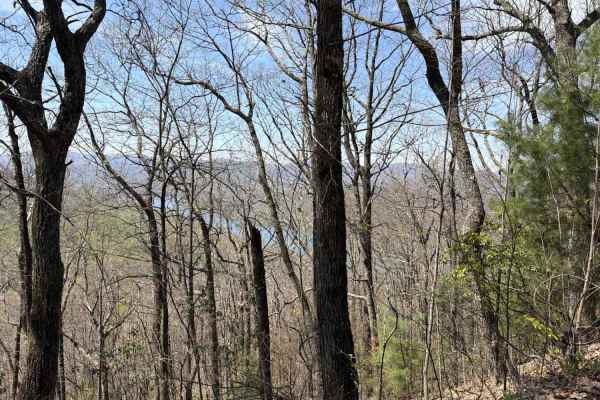
Glassy Mountain - FS 11
Want to go overlook Lake Burton from the top of a mountain? Want an easy drive up that mountain via a dirt drive with nice views the whole way? Then this is the trail for you. It was the early spring when we did the road, so not sure if the lake will be as viewable once the leaves fill in, but the v...
Learn more about Glassy Mountain - FS 11
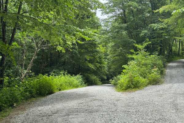
Dryman Fork - FS 421
Dryman Fork (FS 421) is a 3.7-mile out-and-back route that follows a generously sized single-lane gravel road with places to pass. The road is well maintained and travels through heavily forested terrain, providing an easy drive with straightforward travel throughout its length. Shortly after leavin...
Learn more about Dryman Fork - FS 421
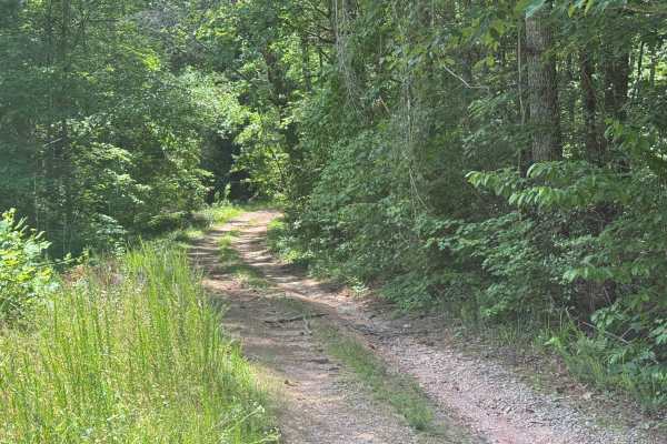
Upper Cliff Creek - FS 8
Upper Cliff Creek - FS 8 is a 1.3-mile out-and-back route that follows a single-lane forest road with few places to pass. The packed dirt and gravel surface is lightly maintained as it travels through heavily forested terrain before reaching a clearing at the end of the route. Rated easy, the road p...
Learn more about Upper Cliff Creek - FS 8
Beginner ATV trails near Mountain City, Georgia
Explore ATV-friendly trails near you. These trails are accessible for vehicles up to 50 inches wide, perfect for ATVs and smaller off-road machines.
Tuckaluge Creek Road/153
This trail is an easy gravel ride that connects you to 155A. This trail can be completed in 2WD when dry, but it can get slick on the uphills after rain. There are 2 campsites along the trail. One of the campsites has a stream where can collect water or swim. There is more to this trail, but there i...
Learn more about Tuckaluge Creek Road/153
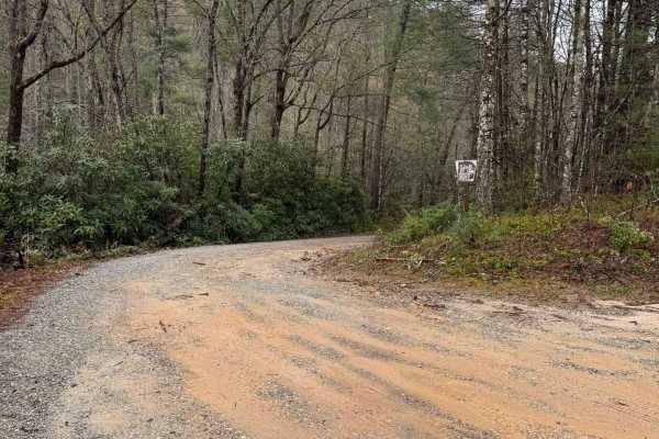
Billingsley Creek - FS 86B
Billingsley Creek - FS 86B branches off of the Georgia Traverse in the Chattahoochee National Forest. It is a gravel road with some 12-18" ruts. At the beginning, there are several large campsites right on Billingsley Creek. Please tread lightly, as the signage makes it clear others haven't done so ...
Learn more about Billingsley Creek - FS 86B
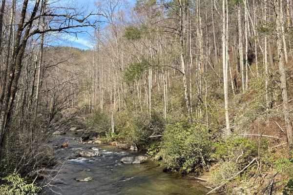
Tallulah River Trail - FR 70
Tallulah River Trail takes you from Persimmon Road to the Deep Gap/Beech Creek Trailhead in North Carolina. That trail takes you along the Tallulah River. There are several beautiful Campgrounds next to the water. You will cross Tatecity, a small mountain community, on your way. The trail is a grave...
Learn more about Tallulah River Trail - FR 70
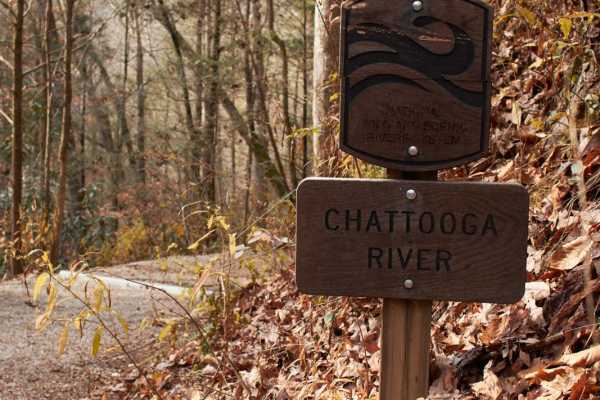
Woodall Shoals - Road 757
This trail leading to Woodall Shoals is the second-to-last rafting takeout along the Chattooga River. This maintained gravel road leads to the trailhead that leads to a perfect location to cool off in an Appalachian Mountain river. Make sure to only swim in the pools! Currents are very swift and kno...
Learn more about Woodall Shoals - Road 757
Beginner UTV/side-by-side trails near Mountain City, Georgia
Find UTV and side-by-side trails near you. These trails accommodate vehicles up to 60 inches wide, ideal for UTVs, side-by-sides, and wider off-road rigs.
Dan Gap - FS 155E
Dan Gap - FS 155E winds its way up Dan Ridge and runs north along its crest. This 1/10 trail is mostly gravel end to end, with a few tight turns and the occasional large rock. A few pull-offs along the route make for great dispersed campsites, and as you run the ridge north, the terrain drops away o...
Learn more about Dan Gap - FS 155E
Tuckaluge Creek Road/153
This trail is an easy gravel ride that connects you to 155A. This trail can be completed in 2WD when dry, but it can get slick on the uphills after rain. There are 2 campsites along the trail. One of the campsites has a stream where can collect water or swim. There is more to this trail, but there i...
Learn more about Tuckaluge Creek Road/153
Sandy Ford
Sandy Ford is a short trail that holds an amazing surprise at the end. The road is regularly maintained; the biggest obstacle is a creek crossing that gets up to 18 inches deep but is passable by any truck or SUV. There are dispersed campsites along the route and if you're lucky to find it empty, th...
Learn more about Sandy Ford
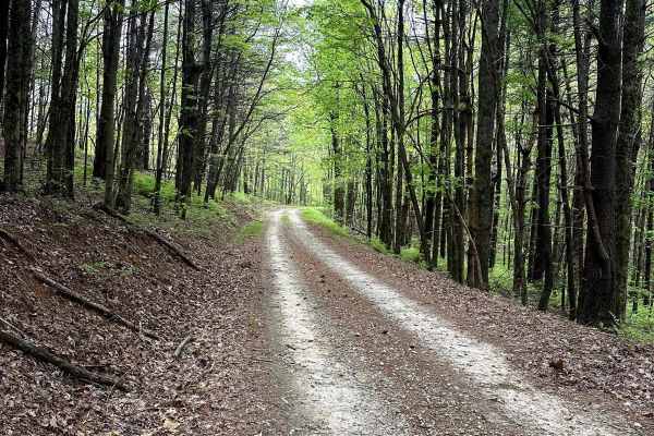
Stamp Ridge
Stamp Ridge is a long out-and-back trail that seems to be one of the lesser-traveled trails in the area. The majority is easy-going gravel road until the last half mile, which turns into a tight single-track dirt road. Along the way, you will see an amazing view of the ridgeline of many nearby mount...
Learn more about Stamp Ridge
The onX Offroad Difference
onX Offroad combines trail photos, descriptions, difficulty ratings, width restrictions, seasonality, and more in a user-friendly interface. Available on all devices, with offline access and full compatibility with CarPlay and Android Auto. Discover what you're missing today!
Open Trail Map