Walnut Fork

Total Miles6.9
Technical Rating
1Easy
Best TimeSpring, Summer, Fall, Winter
Trail TypeFull-Width Road
Accessible By
Open Trail Map

Trail Overview

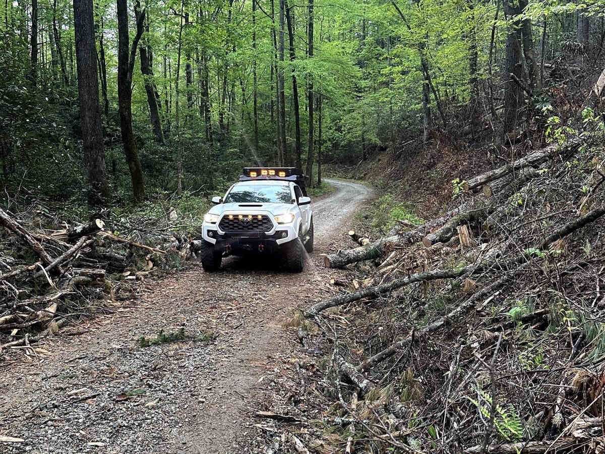
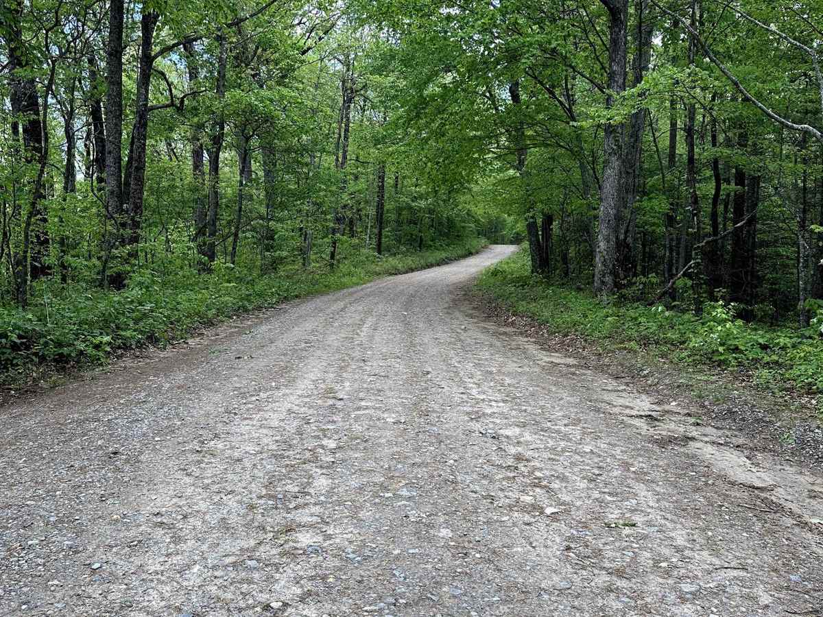
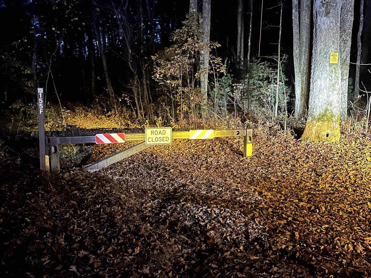
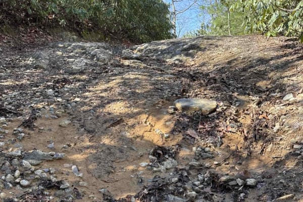
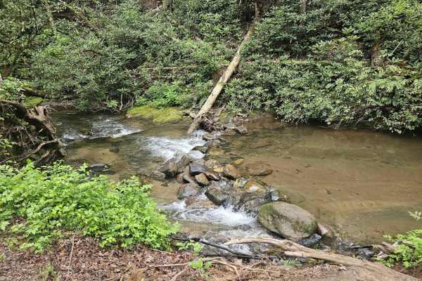
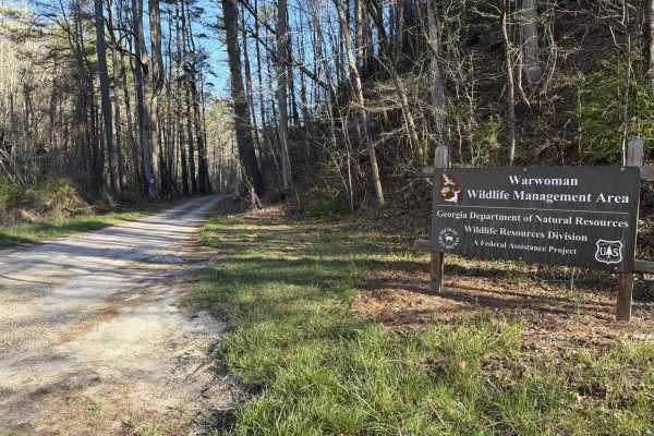
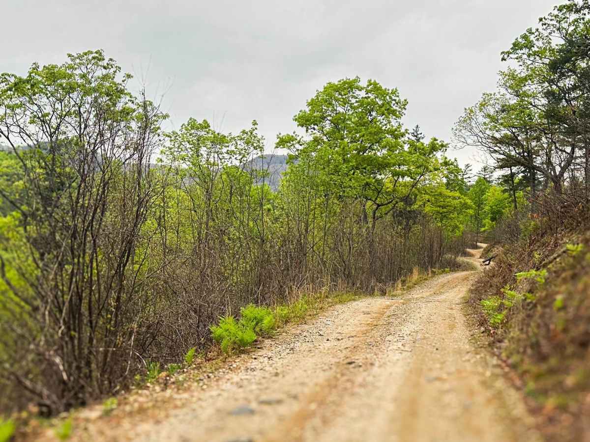
This 7+ mile Forrest Service Road connects to the top-rated Sarahs Creek and offers many opportunities for camping and some fishing along the way. Most of the road is well maintained and wide enough for two vehicles to pass, except for the last half mile on the western side, which is much more narrow. A gate that stays closed on the west end has an open parking area and several hiking trails. Overall, this is an easy road that offers some great views of surrounding ridge lines.

Photos of Walnut Fork

Difficulty

Any stock truck or SUV will have no issues, as most of the road is maintained gravel.

Technical Rating

1

Status Reports

Add Status Report
Durham Baker
Oct 11, 2025
2020 Subaru Ascent
Open
Normal
Durham Baker
Sep 27, 2025
2020 Subaru Ascent
Open
Normal
Brian P
May 21, 2025
2021 Jeep Wrangler
Open
Normal
Maintained gravel road. Connected via Sarah’s Creek and we took it all the way to Wilson Gap before turning around and taking to Road 155 connector to Tuckaluge Creek Road 153. Road narrows to a single width when you get near Wilson Gap.
Richard Pavone
Feb 21, 2025
Temporarily Closed
Closed Gate
Closed gate on the eastern side of this trail not too far from the Sarah’s creek campground. Couldn’t get on the western side either as Dan gap was gated

Walnut Fork Trail can be accessed by the following ride types:

  • High Clearance
  • Full Width

Walnut Fork Map

The onX Offroad Difference

onX Offroad combines trail photos, descriptions, difficulty ratings, width restrictions, seasonality, and more in a user-friendly interface. Available on all devices, with offline access and full compatibility with CarPlay and Android Auto. Discover what you're missing today!

Open Trail Map