
Beginner Off-Road Trails
Near Mount Pleasant, Utah
Explore All Beginner Trails Near Mount Pleasant, Utah
Beginner Off-Road Trails Near Mount Pleasant, Utah
Discover the best beginner-friendly off-road trails near you. These easier, lower-rated trails are a great place to start — browse trail maps, check difficulty ratings, and find your next adventure.
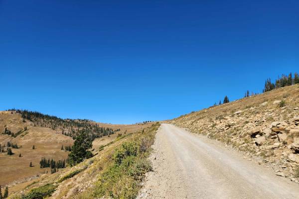
Potters Canyon - FS 50271
This trail runs between Skyline Drive and Millers Flat, traveling up Potters Canyon and past the Potters Ponds. This trail is a well-maintained gravel road on the lower end with it transitioning to a natural base road towards the top of the canyon, with a few small loose rocky sections and a couple ...
Learn more about Potters Canyon - FS 50271
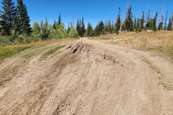
Haystack - FS 50279
This short out-and-back trail branches west from Skyline Drive and follows the ridge to a small overlook and campsite. This trail has deep ruts throughout that can hold water and mud during periods of wet weather, as well as slow vehicles down as they traverse the trail. This trail is scenic as it f...
Learn more about Haystack - FS 50279
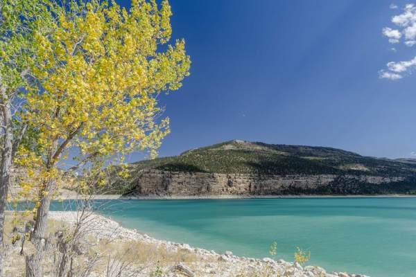
Reeder Canyon
This 9.6-mile point-to-point route travels along the eastern portion of the Ephraim-Orangeville Road (Forest Road 40), connecting Skyline Drive at the top of Ephraim Canyon to the shores of Joes Valley Reservoir.
The route begins at an elevation of 10,502 feet on the high ridgeline of the Manti-La ...
Learn more about Reeder Canyon
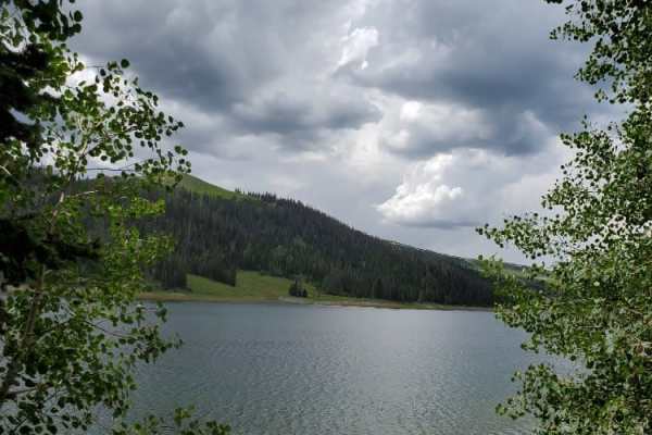
Millers Flat Road
Millers Flat Road is part of the Arapeen OHV trail system in central Utah. The trail is well maintained with just enough technical driving to keep it exciting. The road drops down from the ridge and winds through mountain hills and the scenery is breathtaking as you drive past Miller, Cleveland, and...
Learn more about Millers Flat Road
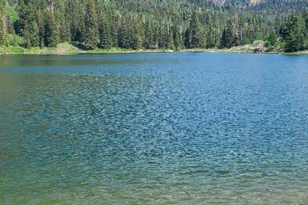
South Reeder/Littles Canyon
This trail boasts high mountain vistas with meadows, thick pines, and aspen. The trail is mostly restricted to 50-inch vehicles, with wider allowances on either end. Grassy Lake has a Forest Service pit toilet if needed and also offers some fun fishing, float tubing, and kayaking. The trail can be a...
Learn more about South Reeder/Littles Canyon
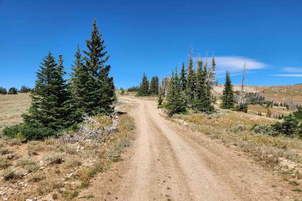
Olsen Bench - FS 50276
This trail is an out-and-back trail that branches off of Skyline Drive and heads southeast along Swasey Ridge to where it dead-ends at a small turnaround point in the trees. This trail is easy, with only a few spots with some smaller rocks to traverse towards the end of the trail. Along the way, thi...
Learn more about Olsen Bench - FS 50276
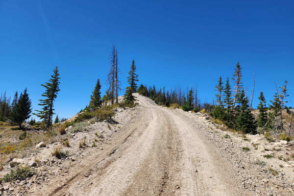
Clay Bench - FS 50280
This trail is a short spur off of Olsen Bench that heads east along the ridge to where it ends at a viewpoint. This trail is easy, with no major obstacles along the trail, with only a few sections with some shallow ruts to traverse along the trail. This trail follows along the top of the ridge for m...
Learn more about Clay Bench - FS 50280
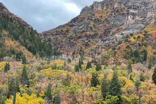
Log Canyon
This is a great easy trail. Start down a long dirt road. In the high desert. Works its way up into the beautiful canyon and is surrounded by Aspen and Big Pine Trees. If you go in fall time you won't be disappointed. The fall color in this area is breathtaking.
Learn more about Log Canyon
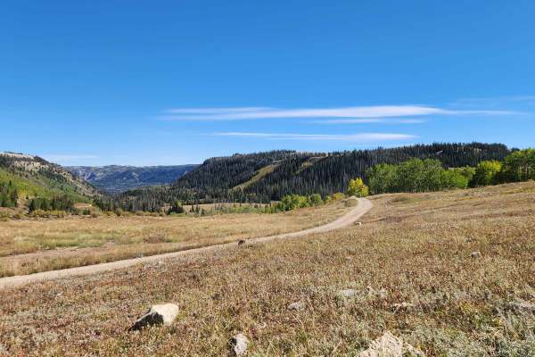
Old Ephraim Tunnel Trail - FS 52148
This short spur branches off of Orangeville Canyon and heads to the Old Ephraim Tunnel. This trail is an easy dirt road with no major obstacles and only a couple of spots with shallow ruts and small rocks in the trail. This trail stays in the trees for the majority of the trail and has a small turna...
Learn more about Old Ephraim Tunnel Trail - FS 52148
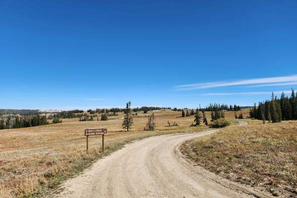
Seeley Creek Guard Station - FS 50050
This trail is a short out-and-back trail that branches off of Orangeville Canyon and heads southwest to Seeley Creek Guard Station. This trail is easy, as it heads to the guard station with only some shallow ruts and small rocks to traverse as it crosses the open fields. The trail ends at the Seeley...
Learn more about Seeley Creek Guard Station - FS 50050
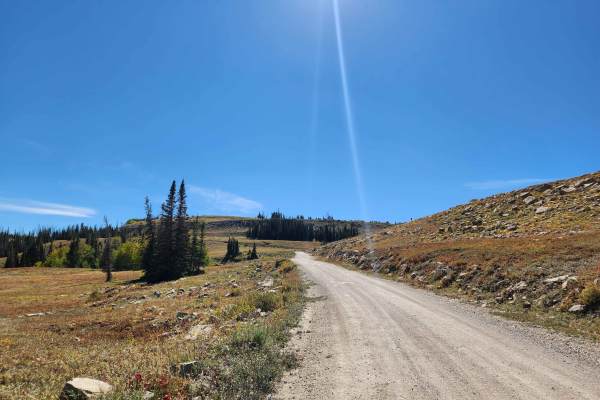
Orangeville Canyon
This trail is a short, well-maintained road that starts at the end of Old Highway 29 and heads up the canyon to Skyline Drive. The lower end of this trail is well-maintained and graveled before it becomes a little rockier towards the top, where it turns into mostly a natural base road. This trail is...
Learn more about Orangeville Canyon
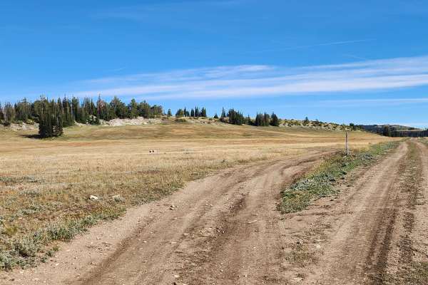
Becks Ridge - FS 52146
This trail is a short out-and-back trail that branches off of Seeley Creek Guard Station and heads east to where it ends at an overlook and campsite at the end of the ridge. This trail is easy, as it follows the ridge with only a few spots with deeper ruts and larger rocks to traverse. The trail sta...
Learn more about Becks Ridge - FS 52146
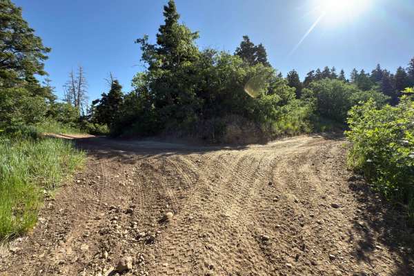
Death Hollow - 50148
The trail is double track. Is very narrow with a mixture of open spaces and tight tree/scrub oak cover. Minimal obstacles, although there can be 12-18 inch ruts that can get muddy if wet weather has been recent. Higher clearance, four-wheelers, and motorcycles would be most ideal. This trail is an o...
Learn more about Death Hollow - 50148
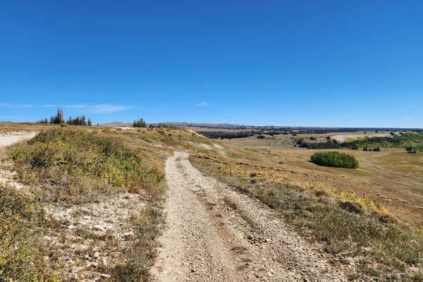
Seeley Creek Guard Station Cutoff - FS 52326
This short cutoff trail leads from Seeley Creek Guard Station up the hill to the west and connects directly to Skyline Drive. This trail is easy, with some sections being a little steeper and there being loose rock and shallow ruts in the trail on the climb up. This trail provides alternate access d...
Learn more about Seeley Creek Guard Station Cutoff - FS 52326
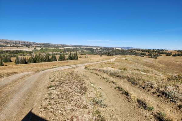
Toms Knoll - FS 52292
This trail is a short out-and-back trail that branches off of Skyline Drive and heads east along the ridge before it drops down to a small viewpoint. This trail is easy, with there being a few ruts and rocks scattered throughout the trail. The hardest part is towards the end, where the original trai...
Learn more about Toms Knoll - FS 52292
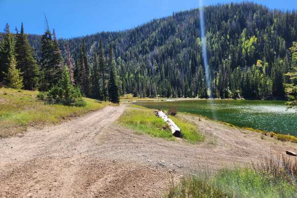
Thistle Flat - FS 50005
This trail is a short spur off of Orangeville Canyon that heads to Josephite Point Trailhead, passing Soup Bowl and Pete's Hole Reservoirs along the way. This trail is easy, as it makes its way to the trailhead with only some small rocks and ruts to traverse on the trail. This trail starts off going...
Learn more about Thistle Flat - FS 50005
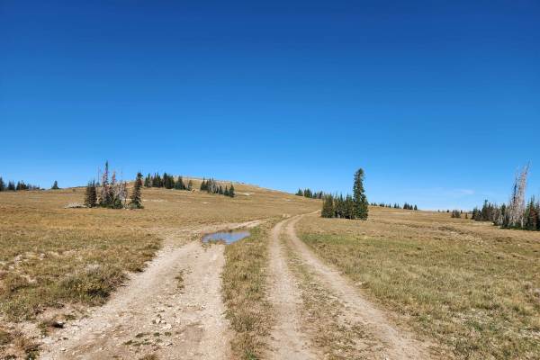
Buck Ridge - FS 50003
Buck Ridge branches off of Skyline Drive and follows the ridge heading east to where it ends at a large viewpoint. This trail is easy but rough throughout, with large stretches of the trail being severely rutted out, with bypasses around the worst sections. This trail leads up to a large open gravel...
Learn more about Buck Ridge - FS 50003
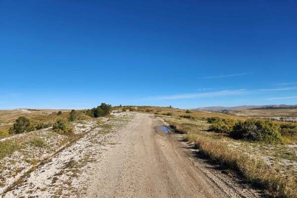
Trail Ridge - FS 50004
This short out-and-back trail branches off Skyline Drive and follows Trail Ridge east to a viewpoint at the end of the ridge. This trail is easy, as it follows the ridge with only some shallow ruts and small rocks scattered throughout, with the trail becoming steeper towards the end. This trail stay...
Learn more about Trail Ridge - FS 50004
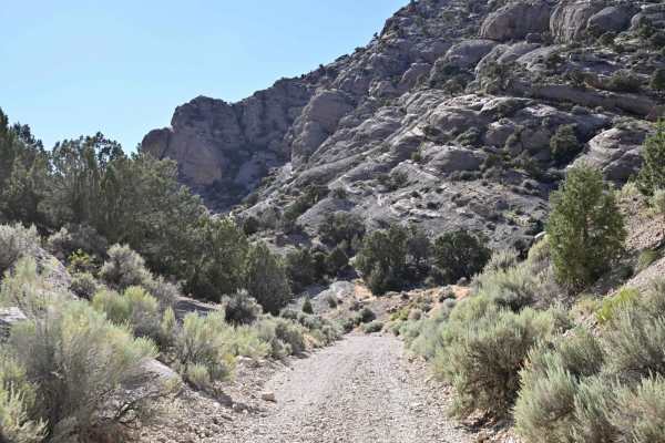
Mellor Canyon Road
Private land holdings and BLM trail closures make the connector from Fayetteville to Manti partially inaccessible. This connector is important for the Arapeen Trail system because it allows access to Manti trails from the Fayette/Yuba Lake area. There is a nice mix of canyons and ridges that make th...
Learn more about Mellor Canyon Road
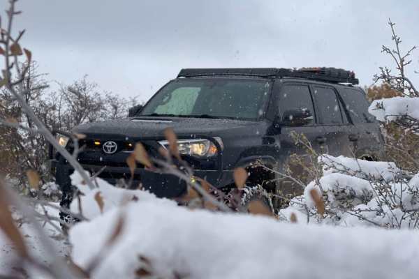
Chicken Creek
This trail starts out in a little town called Levan. The trail follows a gravel road along Chicken Creek. Along the trail, there are great views with cool mountain ledges, and big Aspen and Pine trees. This trail will end in a dead end with some private property signs and gates.
Learn more about Chicken Creek
Beginner ATV trails near Mount Pleasant, Utah
Explore ATV-friendly trails near you. These trails are accessible for vehicles up to 50 inches wide, perfect for ATVs and smaller off-road machines.
Potters Canyon - FS 50271
This trail runs between Skyline Drive and Millers Flat, traveling up Potters Canyon and past the Potters Ponds. This trail is a well-maintained gravel road on the lower end with it transitioning to a natural base road towards the top of the canyon, with a few small loose rocky sections and a couple ...
Learn more about Potters Canyon - FS 50271
Haystack - FS 50279
This short out-and-back trail branches west from Skyline Drive and follows the ridge to a small overlook and campsite. This trail has deep ruts throughout that can hold water and mud during periods of wet weather, as well as slow vehicles down as they traverse the trail. This trail is scenic as it f...
Learn more about Haystack - FS 50279
Reeder Canyon
This 9.6-mile point-to-point route travels along the eastern portion of the Ephraim-Orangeville Road (Forest Road 40), connecting Skyline Drive at the top of Ephraim Canyon to the shores of Joes Valley Reservoir.
The route begins at an elevation of 10,502 feet on the high ridgeline of the Manti-La ...
Learn more about Reeder Canyon
Millers Flat Road
Millers Flat Road is part of the Arapeen OHV trail system in central Utah. The trail is well maintained with just enough technical driving to keep it exciting. The road drops down from the ridge and winds through mountain hills and the scenery is breathtaking as you drive past Miller, Cleveland, and...
Learn more about Millers Flat Road
Beginner UTV/side-by-side trails near Mount Pleasant, Utah
Find UTV and side-by-side trails near you. These trails accommodate vehicles up to 60 inches wide, ideal for UTVs, side-by-sides, and wider off-road rigs.
Potters Canyon - FS 50271
This trail runs between Skyline Drive and Millers Flat, traveling up Potters Canyon and past the Potters Ponds. This trail is a well-maintained gravel road on the lower end with it transitioning to a natural base road towards the top of the canyon, with a few small loose rocky sections and a couple ...
Learn more about Potters Canyon - FS 50271
Haystack - FS 50279
This short out-and-back trail branches west from Skyline Drive and follows the ridge to a small overlook and campsite. This trail has deep ruts throughout that can hold water and mud during periods of wet weather, as well as slow vehicles down as they traverse the trail. This trail is scenic as it f...
Learn more about Haystack - FS 50279
Millers Flat Road
Millers Flat Road is part of the Arapeen OHV trail system in central Utah. The trail is well maintained with just enough technical driving to keep it exciting. The road drops down from the ridge and winds through mountain hills and the scenery is breathtaking as you drive past Miller, Cleveland, and...
Learn more about Millers Flat Road
Olsen Bench - FS 50276
This trail is an out-and-back trail that branches off of Skyline Drive and heads southeast along Swasey Ridge to where it dead-ends at a small turnaround point in the trees. This trail is easy, with only a few spots with some smaller rocks to traverse towards the end of the trail. Along the way, thi...
Learn more about Olsen Bench - FS 50276
The onX Offroad Difference
onX Offroad combines trail photos, descriptions, difficulty ratings, width restrictions, seasonality, and more in a user-friendly interface. Available on all devices, with offline access and full compatibility with CarPlay and Android Auto. Discover what you're missing today!
Open Trail Map