Orangeville Canyon

Total Miles5.8
Technical Rating
1Easy
Best TimeSummer, Fall
Trail TypeFull-Width Road
Accessible By
Open Trail Map

Trail Overview

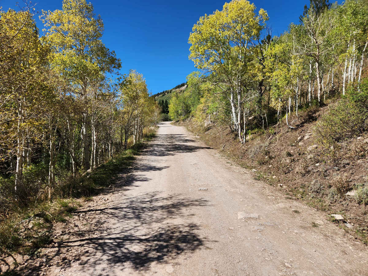
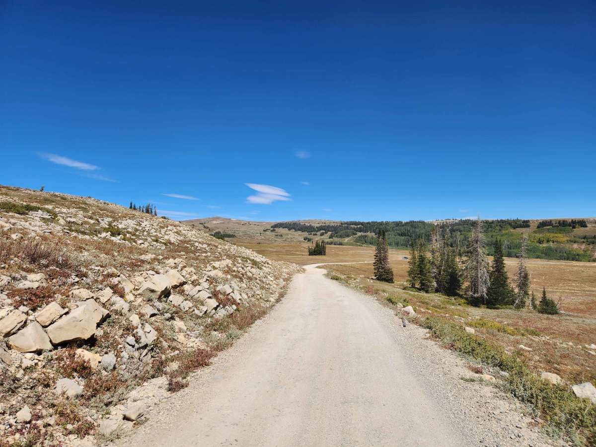
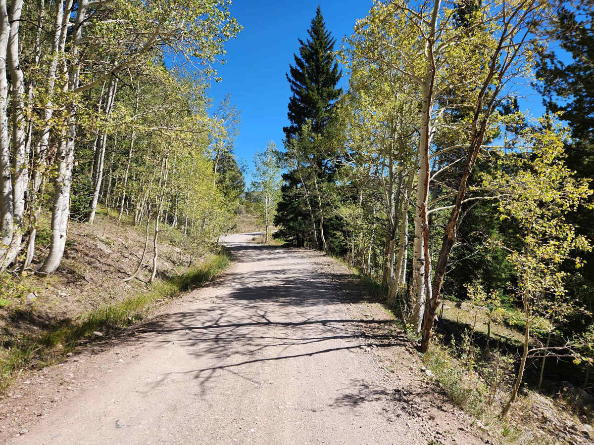
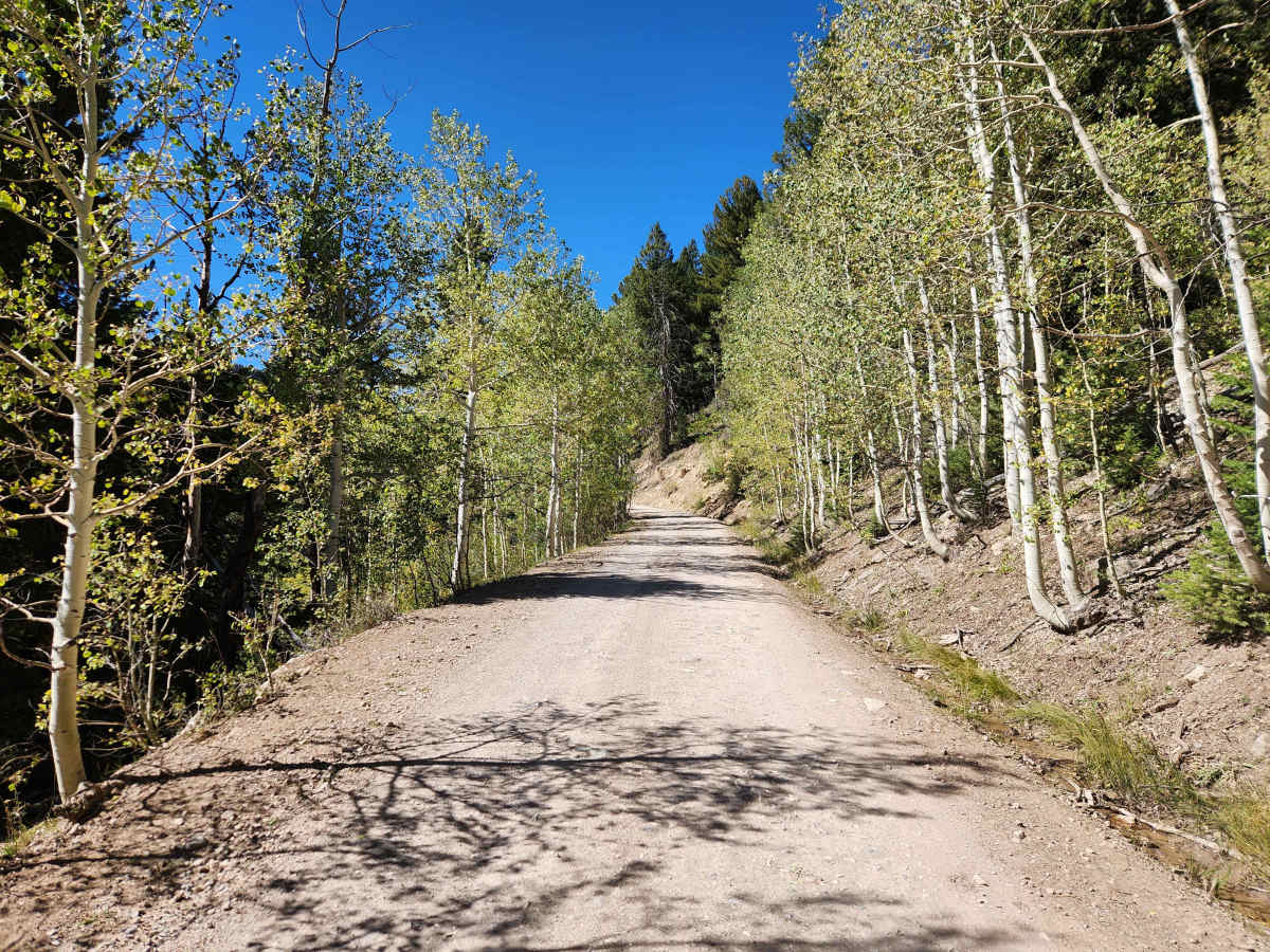
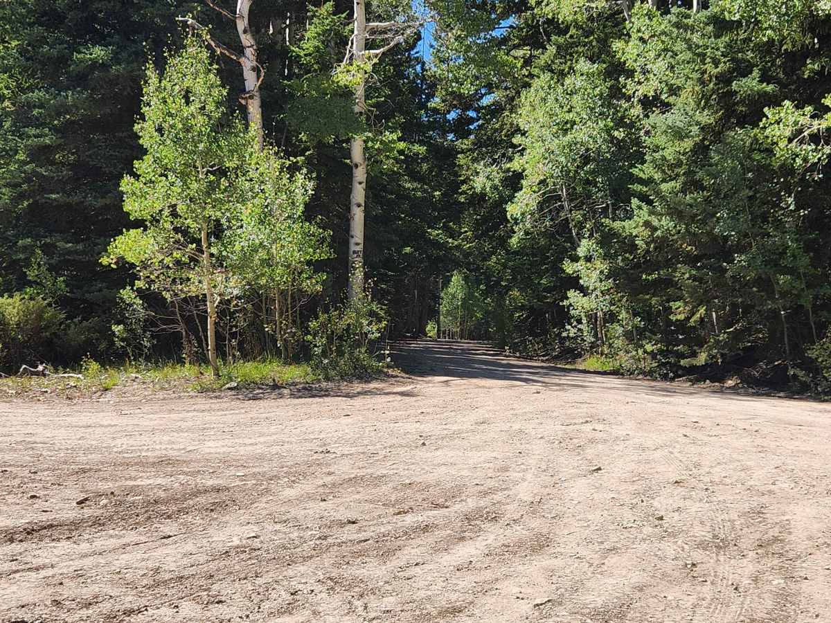
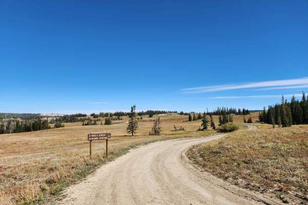
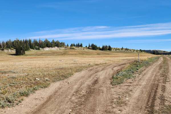
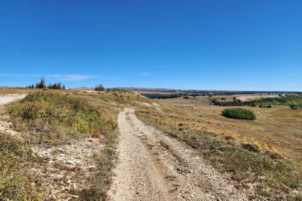
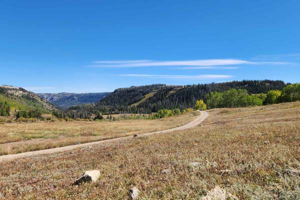
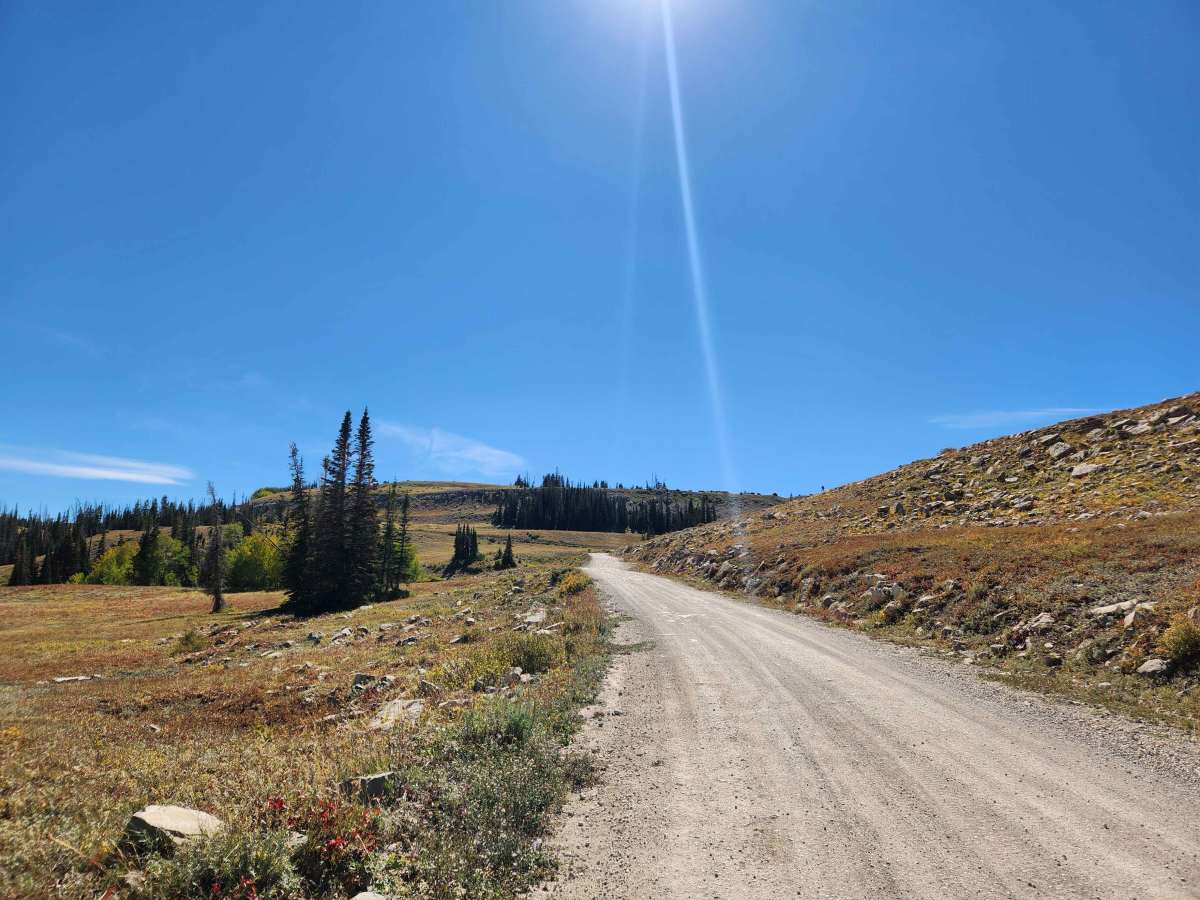
This trail is a short, well-maintained road that starts at the end of Old Highway 29 and heads up the canyon to Skyline Drive. The lower end of this trail is well-maintained and graveled before it becomes a little rockier towards the top, where it turns into mostly a natural base road. This trail is scenic through the canyon, with many spots providing views down into the bottom as it climbs up the canyon. This trail is open to all vehicles and is open from June 1st to November 1st, but the higher elevations may be impassable through July, depending on the snowpack.

Photos of Orangeville Canyon

Difficulty

Well-maintained road, mostly gravel, with the top end having some rocks embedded in the road and being less graveled.

Technical Rating

1

Orangeville Canyon Trail can be accessed by the following ride types:

  • Single Track
  • 50 Inch
  • 60 Inch
  • High Clearance
  • Full Width

Orangeville Canyon Map

The onX Offroad Difference

onX Offroad combines trail photos, descriptions, difficulty ratings, width restrictions, seasonality, and more in a user-friendly interface. Available on all devices, with offline access and full compatibility with CarPlay and Android Auto. Discover what you're missing today!

Open Trail Map