Reeder Canyon

Total Miles9.7
Technical Rating
1Easy
Best TimeSpring, Summer, Fall, Winter
Trail Type50" Trail
Accessible By

Open Trail Map

Trail Overview

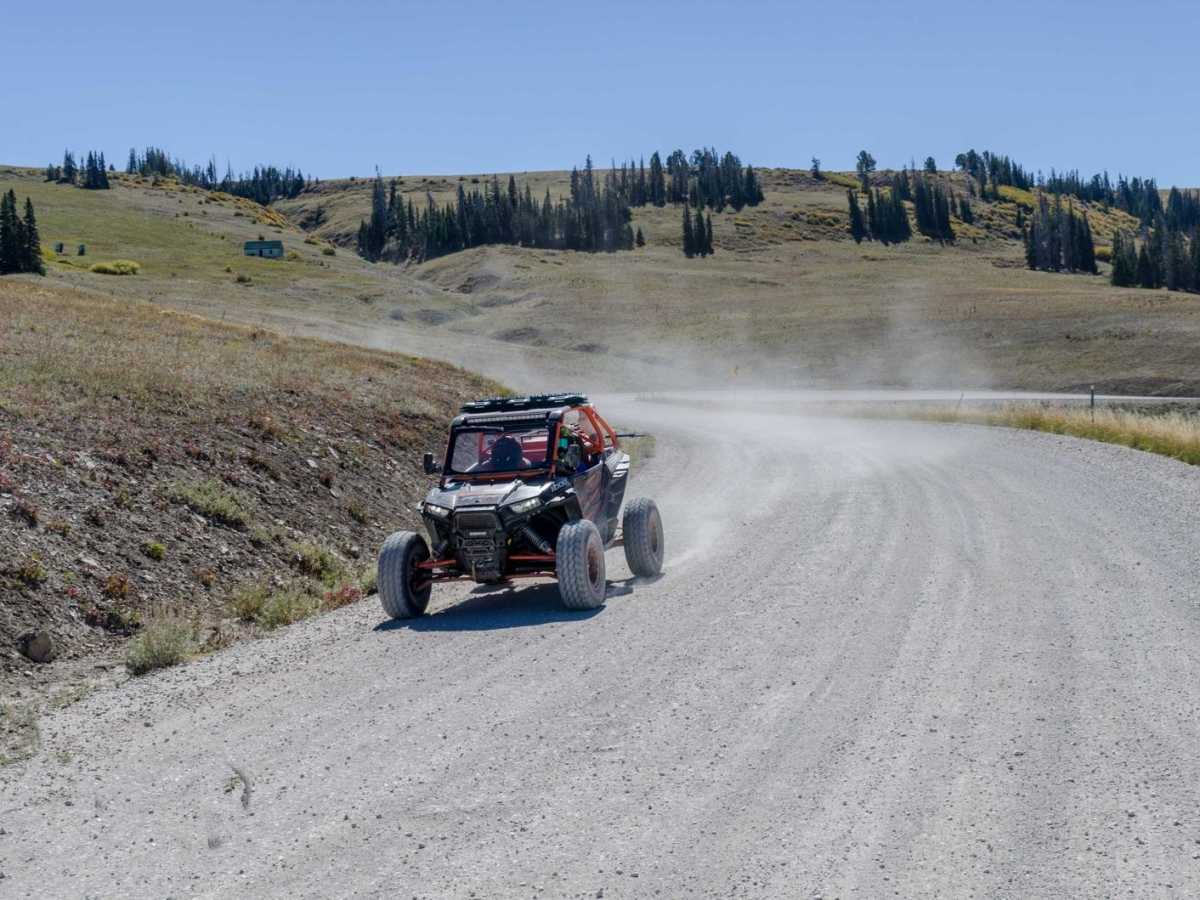
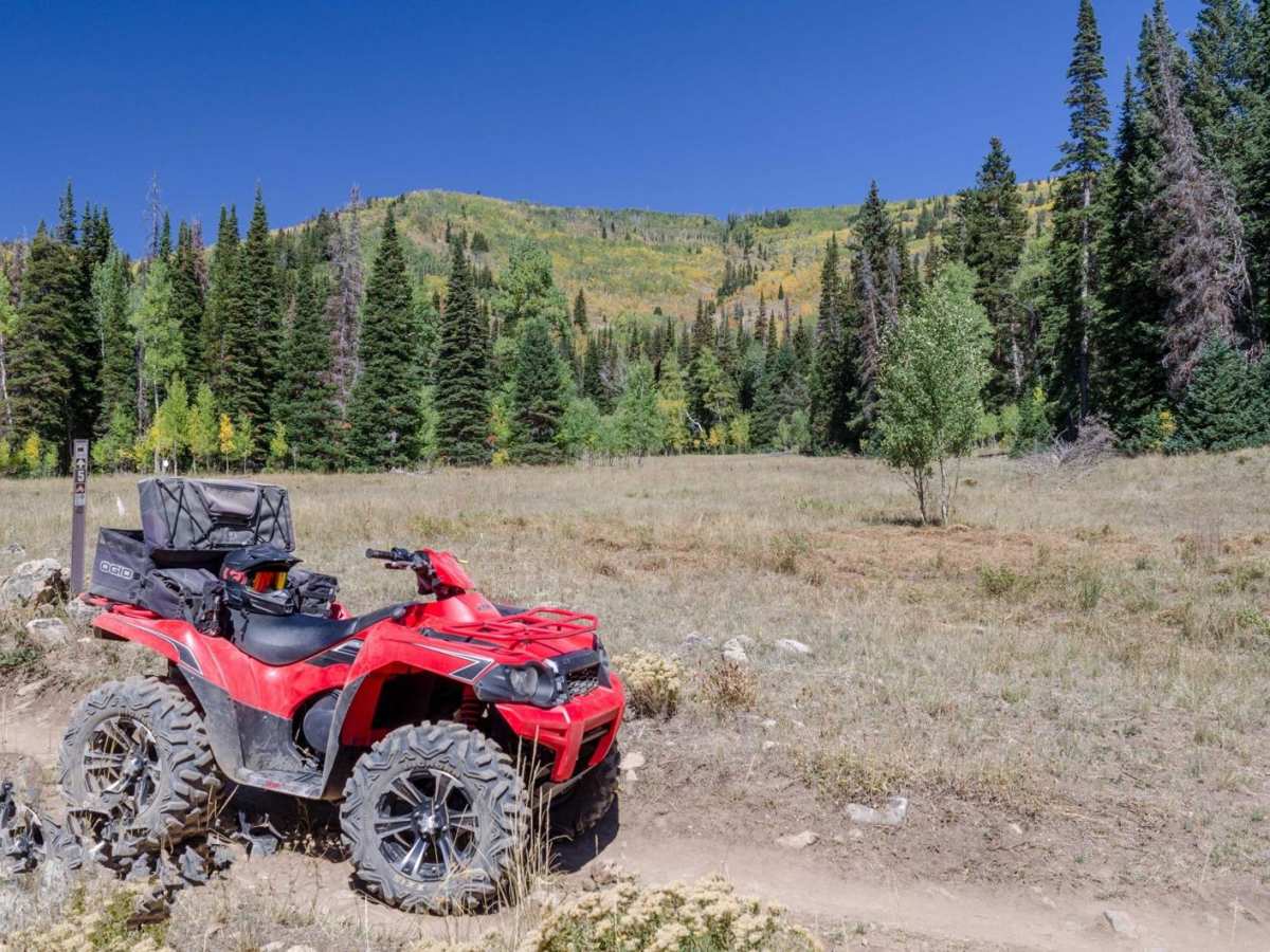
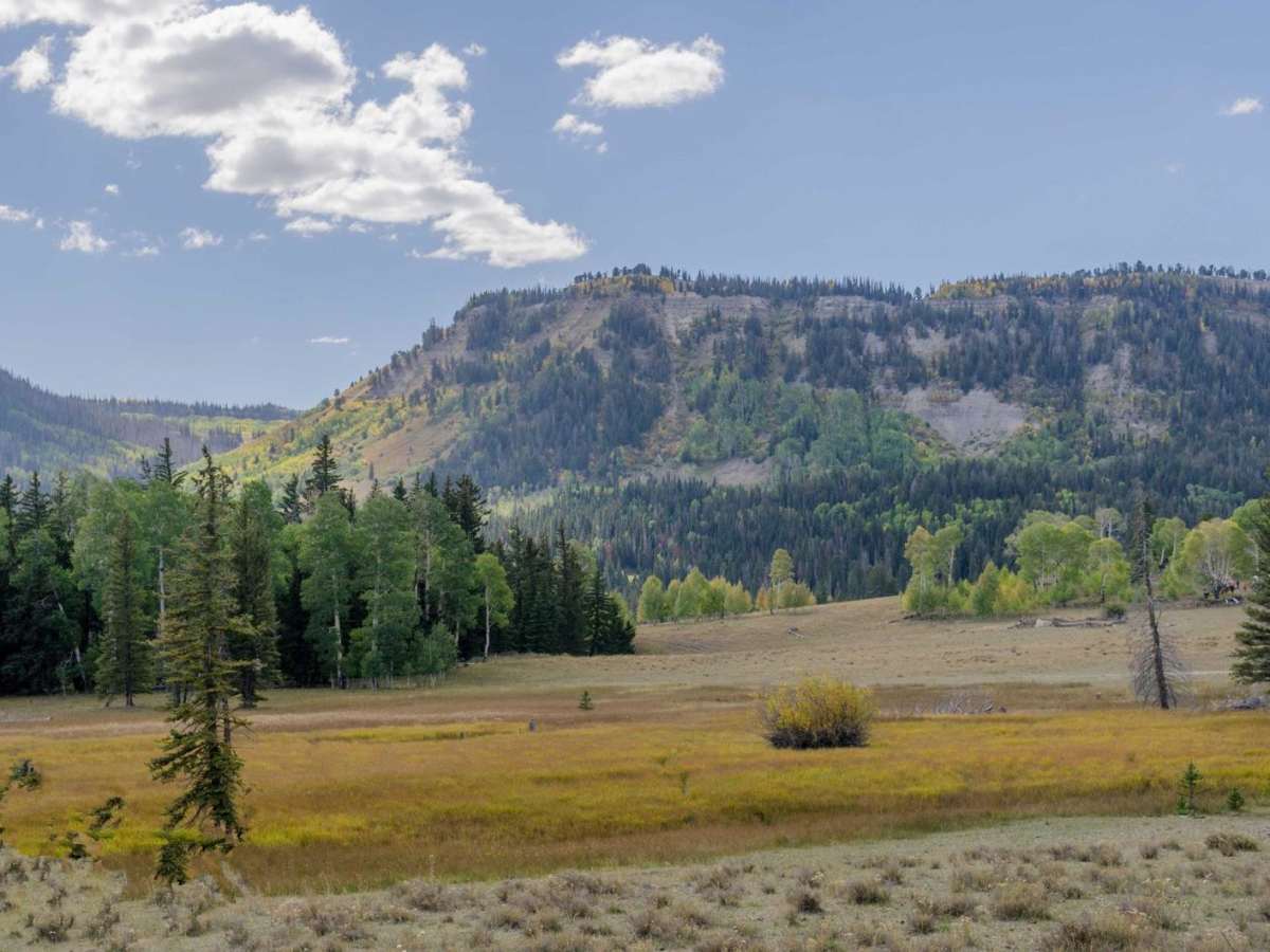
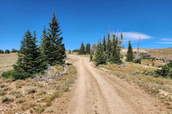
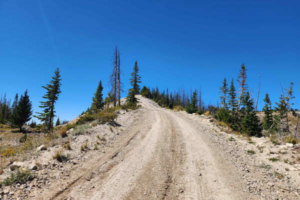
This 9.6-mile point-to-point route travels along the eastern portion of the Ephraim-Orangeville Road (Forest Road 40), connecting Skyline Drive at the top of Ephraim Canyon to the shores of Joes Valley Reservoir. The route begins at an elevation of 10,502 feet on the high ridgeline of the Manti-La Sal National Forest and descends eastward, losing 3,565 feet of elevation before ending near the reservoir at 7,056 feet. With a gentle gradient and a technical rating of 1, this dirt and gravel trail is subject to a 50-inch vehicle width restriction, making it ideal for ATVs and narrow off-highway vehicles. It offers scenic views of the surrounding canyons and sandstone cliffs as it transitions from high-alpine forests to the reservoirs and valleys below.

Photos of Reeder Canyon

Technical Rating

1

Status Reports

Add Status Report
Jim
Sep 24, 2026
Open
Muddy/Wet
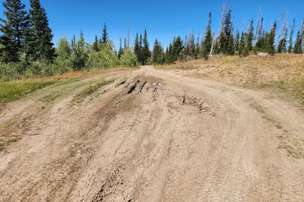
It is open. We rode the whole 05. North side is very rocky. South side was muddy, it rained the day before. But passable and the best 50" trail we've ever been on
Ken Babbitt
Jun 17, 2026
Obstructed
Downed Tree
3 foot diameter tree across trail!
Jen Blood
Sep 18, 2025
Open
For the 50” portion only: Lots of loose rock, steep terrain, large rock, and tight places including a barely passable boulder on one side with a 15’ straight down drop to a creek on the other side.

Reeder Canyon Trail can be accessed by the following ride types:

  • Single Track
  • 50 Inch

Reeder Canyon Map

The onX Offroad Difference

onX Offroad combines trail photos, descriptions, difficulty ratings, width restrictions, seasonality, and more in a user-friendly interface. Available on all devices, with offline access and full compatibility with CarPlay and Android Auto. Discover what you're missing today!

Open Trail Map